Browse Items (4441 total)

  • Tags: bombing

PFordTA17030010.jpg
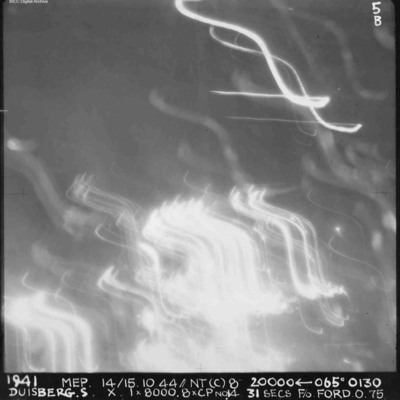
A vertical aerial photograph of Duisberg taken during a night operation. The lower half of the image is obscured by anti-aircraft fire. The top half has no clear detail. annotated '1941 MEP 14/15.10.44// NT (C) 8” 20000 [arrow] 065[degrees] 0130…

SCattyMA164193v10022-0001.jpg
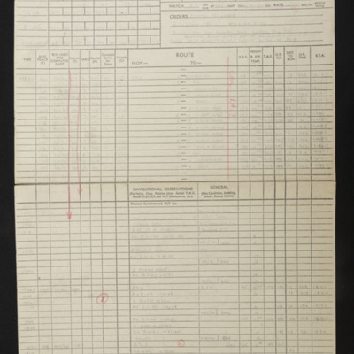
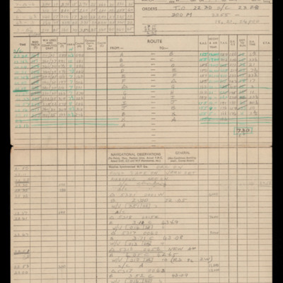
Navigational computations and a chart for an operation to Duisburg, Hamborn.

SCattyMA164193v10011-0001.jpg
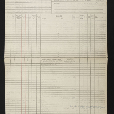
Navigational computation and a chart for an operation to Duisberg

SWeirG19660703v110004-0013.jpg
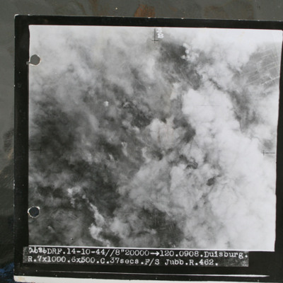
Target photograph showing smoke from bomb explosions and fires. Captioned '2686 DRF.14-10-44//8" 20000 >120.0908.Duisburg, R.7x1000.6x500.C.37 secs.F/S Jubb.R.462.".

This item was sent to the IBCC Digital Archive already in digital form. No better…

PFordTA17040018.jpg
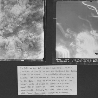
Two vertical aerial photographs of Duisberg. Two operations in 24 hours to the same location. The caption comments on the large number of ' "scarecrows" sent up by the Hun'.
Photo 1 is a daylight image with all the details obscured by explosions…

OThompsonKG12308603-150907-010120.jpg
Navigation calculations and a chart for operation to Duisburg.

NPollockHAJ161121-01.jpg
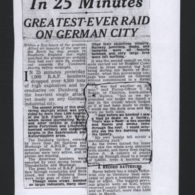
A newspaper cutting of a 1000 bomber attack on Duisburg. The cutting quotes Flying Officer Nopon, a bomb aimer on a Halifax.

SKingEJ182986v10059.jpg
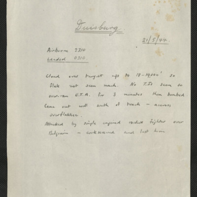
Two items, Edward's description of the operation, and his navigation plot.

PBanksP15010088.jpg
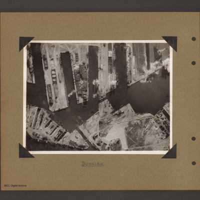
Aerial vertical photograph of docks. Along the top four moles below which an interconnected water way. Below is land with a narrow water passage slanting down towards the centre bottom. The moles and land have various scattered dockyard…

PBanksP15010089.jpg
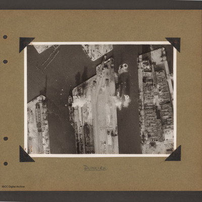
Aerial vertical photograph of docks. Three moles extend from the bottom to just over half way up. The right hand mole is covered with dockyard installations, the other two are mostly bare. Bomb impacts are visible in the water between the right hand…

PBanksP15010090.jpg
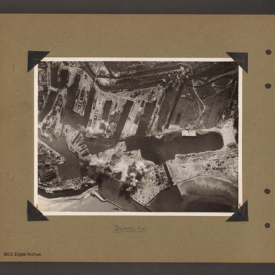
Aerial vertical photograph of interconnected dock basins. At the bottom centre an inlet slanting left. To its left a canal. To its right a spit of land with a narrow waterway leading to a large basin. To the right of the waterway a beach with…

PBanksP15010007.jpg
Target photograph of docks at Dunkirk. A body of water stretches from the left side to the top middle with a tidal flats at the left end. From the middle bottom up to the lower bank of the waters is Mole 6 with multiple railway sidings on the left…

PBanksP15010101.jpg
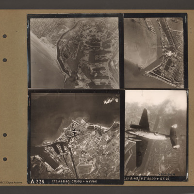
Top left an aerial vertical photograph of Dunkirk docks. A river runs from the sea bottom centre in a curve to top centre. Docks with moles and basins are to the right and the town is to the left of the river.

Top right an aerial vertical…

SBakerDA19210428v20047.jpg
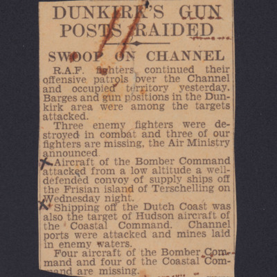
Newspaper cutting with section enclosed by 'x'. Bomber command attacked defended convoy of ships off Terschelling'.

Tags:

PThomasAF20040017.jpg
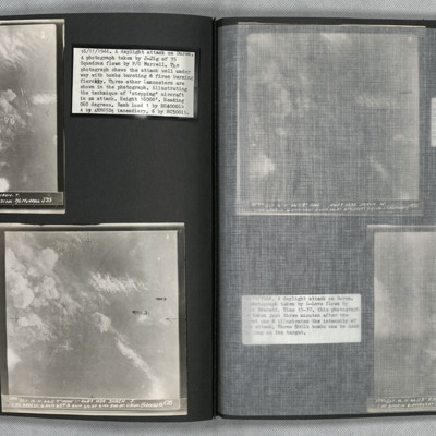
Photo 1 is a vertical aerial photo of Duren as the attack is underway. Two Lancasters can be seen on the right of the image. Photo 2 is a vertical aerial photo of the operation, one minute after the previous image. Two bombs are visible. Photo 3 is a…

MHarrisonRL23055498-181113-03.jpg
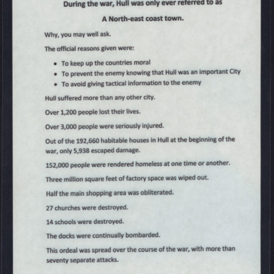
Reasons why Hull was not names and summary of the damage done noting that Hull suffered more than any other city including 1200 people killed and 152000 rendered homeless.

Tags:

PHouriganM18030169.jpg
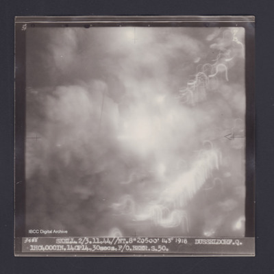
Target photograph of Dusseldorf. Totally obscured by smoke, dust and light streaks. Captioned '3degrees]F', '7B', '3488 SKELL.2/3.11.44//NT.8"20500' 143° 1918 DUSSELDORF.Q. 1HC4000IN.14CP14.30secs.F/O BEER.S.50.' On the reverse '[underlined] F/O…

PThomasAF20050034.jpg
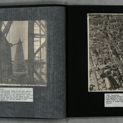
A low angle oblique aerial photograph of Dusseldorf showing heavy bomb damage to urban residential and industrial areas.

SCockramJC419379v10032.pdf
Operation 33. Three Navigation log sheets recording the routes and observations. A plotting map showing the routes out to Dusseldorf and back.
A target photograph in which everything is obscured, mainly by illuminated smoke or cloud. Caption for…

PDrinkellWG22010011.jpg
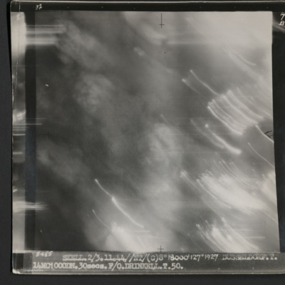
A vertical aerial photograph taken during an operation at Dusseldorf. No ground detail is visible.
It is captioned '3485 Skell 2/3.11.44//NT/(C) 8" 18000' 127° 1927 Dusseldorf. T. 14MC1000DN.30 secs. F/O Drinkell. T. 50.'
On the reverse is…

PLoudonAE16010003.jpg
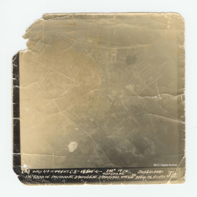
Target photograph of Dusseldorf with much of the detail over exposed. Captioned 'Captioned ' 60 6 B 3198 WKY. 2/3.11.44 // NT C'. 8" 18500' [arrow] 110° 19.14 Dusseldorf 4GP 500 OT. 1 HC 4000 1N.1MC10000T.3ANM650T. 2ANM590T.2MC 500 DT. 29 sec F/L…

PEleyNJ1616.jpg
An oblique aerial photograph showing damage to buildings in Dusseldorf, as indicated by label at the bottom of the image, submitted with caption; “Bomb damage on Dusseldorf”.

S78Sqn19361201v30027.pdf
Log book covering the period of service on 78 Squadron at RAF Breighton from September 1943 to June 1944 flying Halifaxes. A total of 31 night time operations were flown. Targets were Hannover, Bochum, Kassel, Dusseldorf, Mannheim, Leipzig,…

LHaddowEJ1623118v1.pdf
Navigator’s air bomber’s and air gunner’s flying log book for E J Haddow covering the period from 28 November 1943 to 26 September 1945. Detailing his flying training, operations flown and instructor duties. He was stationed at RAF Wratting…

MCheshireGL72021-181210-020009.jpg
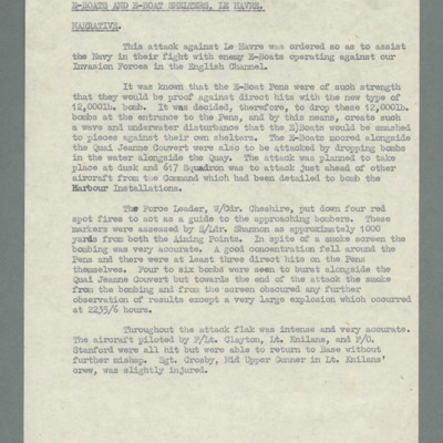
Account of operation against sheltered E-boats in Le Havre harbour. Tasks to assist Navy in their fight against E-boats who were operating against allied invasion forces. States pens would be invulnerable even to 12,000 lb bombs therefore, bombs…
Output Formats

atom, dc-rdf, dcmes-xml, json, omeka-xml, rss2