Browse Items (391 total)
- Tags: V-weapon
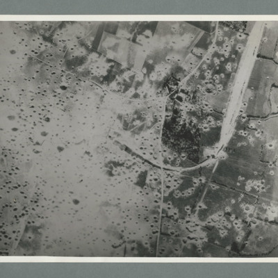
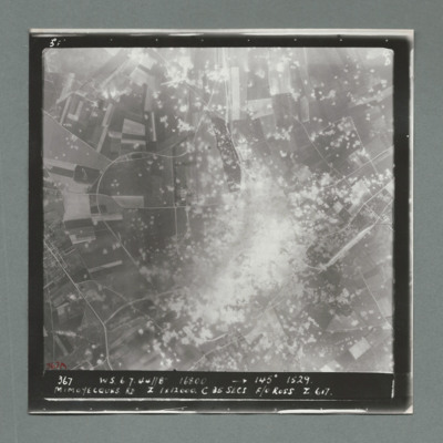
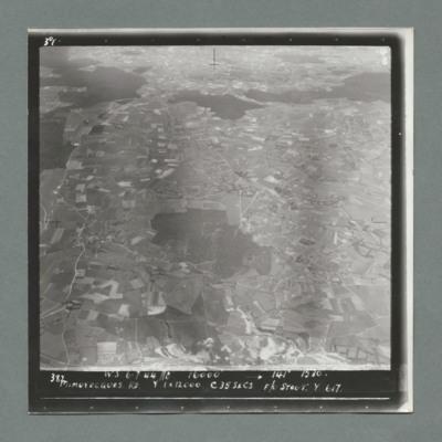
Mimoyecques
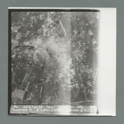
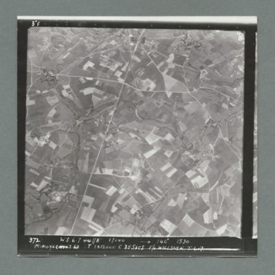
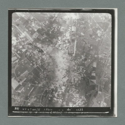
Mimoyecques
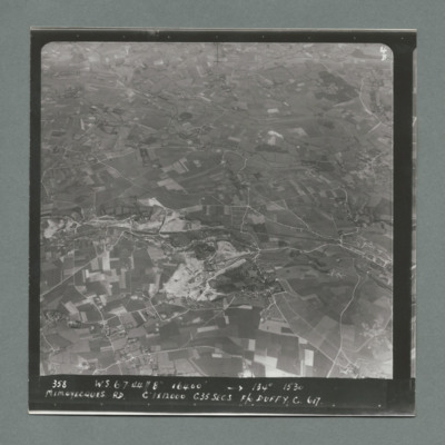
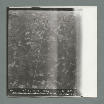
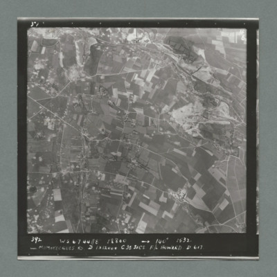
Mimoyecques
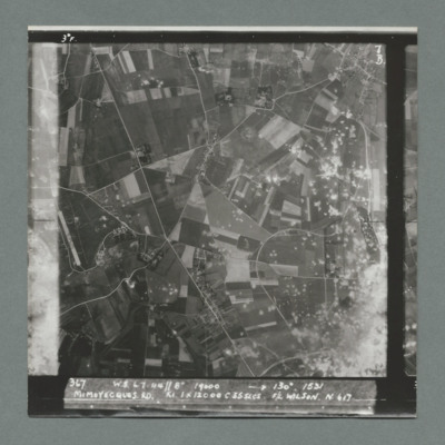
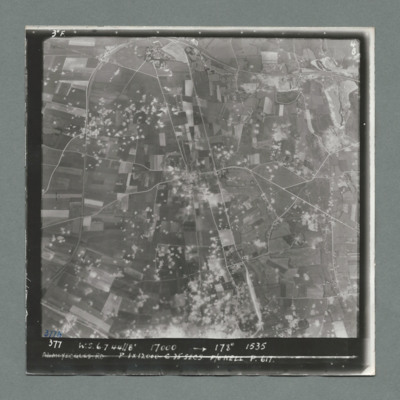
Mimoyecques
Mimoyecques
Mimoyecques
Mimoyecques
Mimoyecques
Mimoyecques
Mimoyecques
Mimoyecques
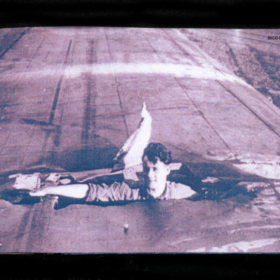
Man inside wing
On the reverse 'LANCASTER PO-L WITTERING AFTER RAID ON V1 STORAGE SITE TROSSY ST MAVIN AUGUST 3 1944'.
V Group News, July 1944
Tags: 5 Group; air gunner; air sea rescue; aircrew; bomb aimer; bombing; bombing of the Creil/St Leu d’Esserent V-1 storage areas (4/5 July 1944); bombing of the Mimoyecques V-3 site (6 July 1944); Cheshire, Geoffrey Leonard (1917-1992); Distinguished Flying Cross; Distinguished Flying Medal; Distinguished Service Order; ditching; flight engineer; Gee; H2S; Lancaster; mine laying; navigator; Normandy campaign (6 June – 21 August 1944); Oboe; pilot; radar; rivalry; searchlight; sport; tactical support for Normandy troops; training; V-2; V-3; V-weapon; wireless operator
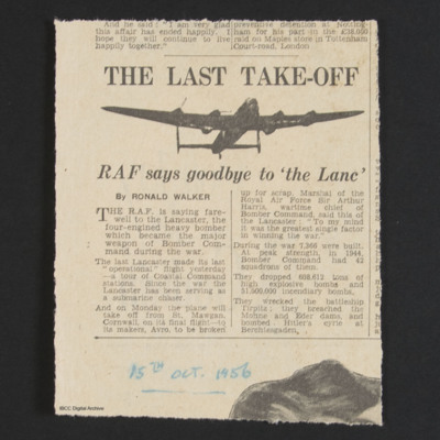
Cuttings reporting and commenting on last operational flight by a Lancaster
A magazine cutting January 1957 reports the last operational Lancaster flight.
A cutting of a letter suggesting that the Lancaster should be preserved…
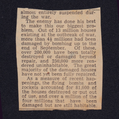
Statistics houses
Tags: bombing; home front; V-1; V-2; V-weapon
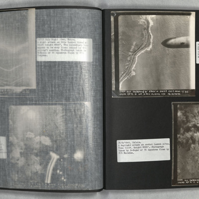
Calais
Photo 2 is a vertical aerial photograph of the Calais area. The operation is to destroy a rocket launch site. Many…
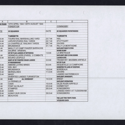
Alan Edgar's Operations
Tags: 49 Squadron; 83 Squadron; bombing of Luftwaffe night-fighter airfields (15 August 1944); Bombing of Mailly-le-Camp (3/4 May 1944); bombing of the Juvisy, Noisy-le-Sec and Le Bourget railways (18/19 April 1944); bombing of the Normandy coastal batteries (5/6 June 1944); Bombing of Trossy St Maximin (3 August 1944); mine laying; Normandy campaign (6 June – 21 August 1944); Pathfinders; RAF Coningsby; RAF Fiskerton; RAF Tuddenham; RAF Waterbeach; RAF Woodbridge; V-1; V-weapon
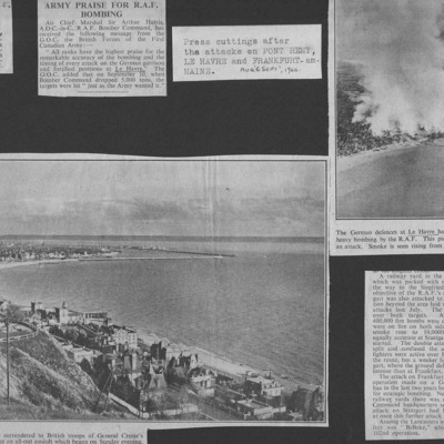
Newspaper Cuttings after the attacks on Pont Remy, Le Havre and Frankfurt
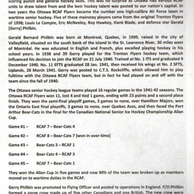
RCAF Nose Art of the "Allan Cup"
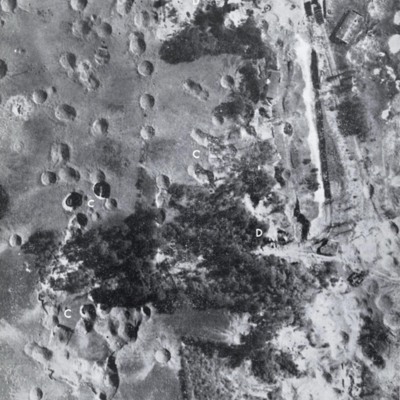
St Leu d'Esserent
Photo 1 is a vertical image showing bomb craters. It is annotated with 'C' and 'D's.
Photo 2 shows an entrance to an underground store.
Photo 3 show an entrance to an underground store. It…
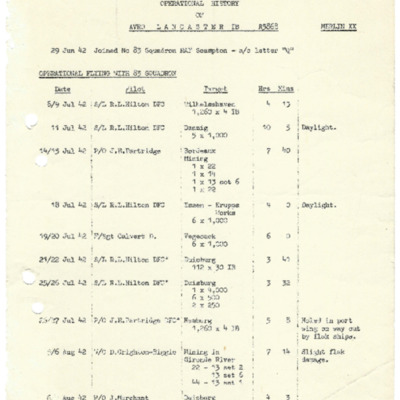
Operational history of Lancaster 1B R5868
Tags: 467 Squadron; 83 Squadron; bombing of Hamburg (24-31 July 1943); Bombing of Mailly-le-Camp (3/4 May 1944); bombing of the Creil/St Leu d’Esserent V-1 storage areas (4/5 July 1944); bombing of the Juvisy, Noisy-le-Sec and Le Bourget railways (18/19 April 1944); bombing of the Normandy coastal batteries (5/6 June 1944); bombing of the Pas de Calais V-1 sites (24/25 June 1944); Lancaster; mine laying; Normandy campaign (6 June – 21 August 1944); Pathfinders; RAF Bottesford; RAF Scampton; RAF Waddington; RAF Wyton; tactical support for Normandy troops; target indicator; V-1; V-weapon
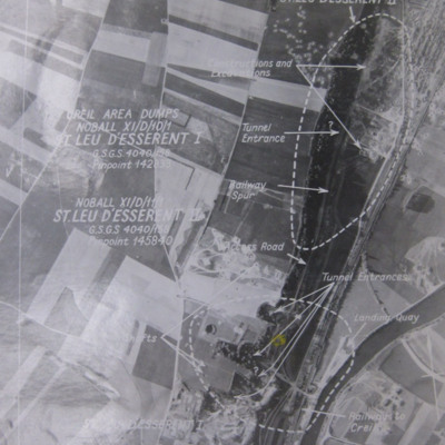
St Leu d'Esserent
Photo 1 is a vertical target photograph with tunnels, railway and landing quay marked.
Photo 2 is a vertical aerial photograph taken during the operation. It is captioned '1962 TLP 5-8-44//8" 15000…

