Browse Items (1725 total)
- Creator is exactly "Great Britain. Royal Air Force"
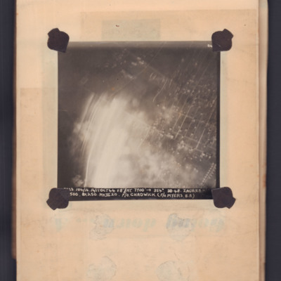
Zagreb
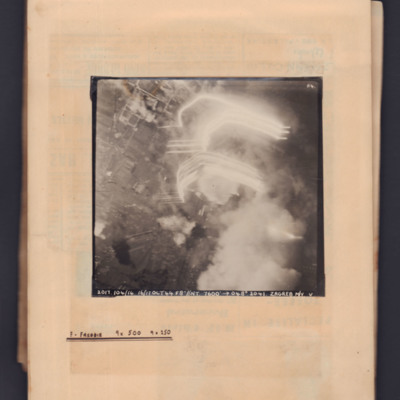
Zagreb
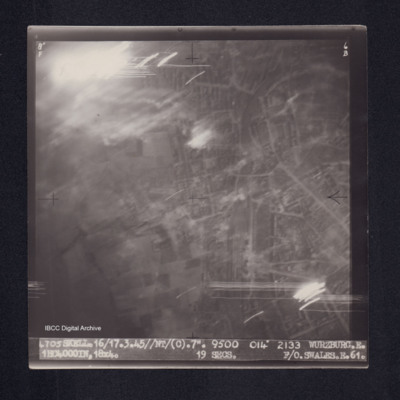
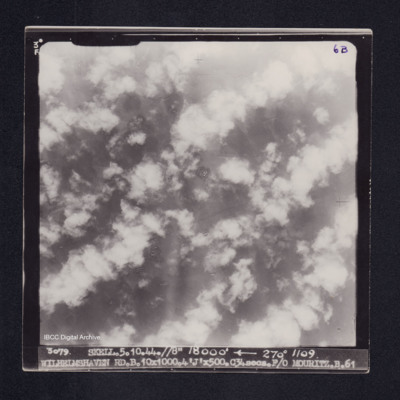
Wurzburg
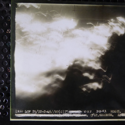
Worms
Worms
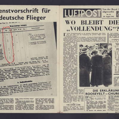
Wo Bleibt die "Vollendung"?
Tags: propaganda
William Shaw’s navigator’s, air bomber’s and air gunner’s flying log book
Tags: 37 Squadron; aerial photograph; Air Gunnery School; aircrew; Anson; B-24; bombing; C-47; Dominie; Heavy Conversion Unit; Operational Training Unit; Oxford; Proctor; RAF Abu Sueir; RAF Aqir; RAF Evanton; RAF Shallufa; RAF Yatesbury; target photograph; training; Wellington; wireless operator; wireless operator / air gunner; York
William Jones Service and Release Book
William James Herbert’s flying log book for navigator’s, air bomber’s and air gunner’s
Tags: 1654 HCU; 50 Squadron; aircrew; bombing; bombing of the Creil/St Leu d’Esserent V-1 storage areas (4/5 July 1944); bombing of the Pas de Calais V-1 sites (24/25 June 1944); Bombing of Trossy St Maximin (3 August 1944); Cook’s tour; flight engineer; Heavy Conversion Unit; Lancaster; Lancaster Finishing School; Normandy campaign (6 June – 21 August 1944); RAF Skellingthorpe; RAF Swinderby; RAF Syerston; RAF Wigsley; Stirling; tactical support for Normandy troops; training
William Hugh Anthony Jackson's Royal Air Force Pilot’s Flying Log Book. Two
Tags: 15 OTU; 23 OTU; 232 Squadron; 355 Squadron; aircrew; B-24; bale out; bombing; C-47; Defiant; Halifax; Harvard; Heavy Conversion Unit; Lysander; Martinet; Operational Training Unit; pilot; RAF Hampstead Norris; RAF Harwell; RAF Kolar; RAF Palam; RAF Pershore; RAF Salbani; Sunderland; Tiger Moth; training; Wellington; York
William Hugh Anthony Jackson's Royal Air Force Pilot’s Flying Log Book. One
Tags: 105 Squadron; 17 OTU; 23 OTU; Advanced Flying Unit; aircrew; Anson; Blenheim; bombing; Boston; Botha; Defiant; Flying Training School; Ju 88; Lysander; Magister; Operational Training Unit; Oxford; pilot; RAF Carlisle; RAF Church Lawford; RAF Little Rissington; RAF Lossiemouth; RAF Luqa; RAF Pershore; RAF Swanton Morley; RAF Upavon; RAF Upwood; Tiger Moth; training; Wellington
William Homewood's Royal Air Force Navigator’s, Air Bomber’s and Air Gunner’s Flying Log Book
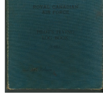
William Holmes' Royal Canadian Air Force pilot's flying log book
Tags: 12 OTU; 149 Squadron; 1651 HCU; Advanced Flying Unit; aircrew; Anson; bombing; C-47; Flying Training School; Heavy Conversion Unit; mine laying; Operational Training Unit; Oxford; pilot; RAF Holme-on-Spalding Moor; RAF Lakenheath; RAF Methwold; RAF Morecambe; RAF Northolt; RAF Shawbury; RAF Syerston; RAF Wratting Common; RCAF Bowden; RCAF Estevan; RCAF Moncton; Stearman; Stirling; Tiger Moth; training; Wellington
William H Cooke’s navigators, air bombers and air gunners flying log book
Tags: 16 OTU; 1661 HCU; 49 Squadron; 99 Squadron; air gunner; Air Gunnery School; aircrew; Anson; B-24; bombing of Luftwaffe night-fighter airfields (15 August 1944); Bombing of Trossy St Maximin (3 August 1944); crash; Heavy Conversion Unit; Lancaster; Lancaster Finishing School; Normandy campaign (6 June – 21 August 1944); Operational Training Unit; radar; RAF Bishops Court; RAF Fiskerton; RAF Fulbeck; RAF Syerston; RAF Upper Heyford; RAF Winthorpe; Stirling; tactical support for Normandy troops; training; Wellington
William George Drinkell's Royal Canadian Air Force pilot's flying log book. One
Tags: 14 OTU; 1654 HCU; 18 OTU; 50 Squadron; Advanced Flying Unit; aircrew; Anson; bomb struck; bombing; C-47; Catalina; Commodore; Distinguished Flying Cross; Flying Training School; Fw 190; Gibson, Guy Penrose (1918-1944); Harvard; Heavy Conversion Unit; Initial Training Wing; Ju 88; Lancaster; Lancaster Finishing School; Operation Exodus (1945); Operational Training Unit; Oxford; pilot; RAF Castle Donington; RAF Little Rissington; RAF Market Harborough; RAF Skellingthorpe; RAF Syerston; RAF Wigsley; RAF Wymeswold; RCAF Moncton; Stearman; Stirling; Sunderland; Tiger Moth; training; Wellington; York
William George Briley's service and release book
Tags: aircrew
William George Briley's observer's and air gunner's flying log book
William Edwards - pilot's flying log book
Tags: 1660 HCU; 27 OTU; 467 Squadron; Advanced Flying Unit; aircrew; Anson; B-24; bombing; bombing of Dresden (13 - 15 February 1945); C-47; Flying Training School; Harvard; Heavy Conversion Unit; Lancaster; Lancaster Finishing School; Lancaster Mk 1; Lancaster Mk 3; Lancastrian; Me 109; Operational Training Unit; Oxford; pilot; RAF Calveley; RAF Church Broughton; RAF Swinderby; RAF Syerston; RAF Waddington; RAF Windrush; Stirling; Tiger Moth; training; Wellington; Yale
William Daymont's flying log book for navigators, air bombers, air gunners, flight engineers
Tags: 100 Squadron; 1662 HCU; 466 Squadron; aircrew; bale out; bombing of Dresden (13 - 15 February 1945); bombing of Helgoland (18 April 1945); flight engineer; Halifax; Halifax Mk 2; Halifax Mk 5; Heavy Conversion Unit; Lancaster; Lancaster Finishing School; Lancaster Mk 1; Lancaster Mk 3; Operation Exodus (1945); Operation Manna (29 Apr – 8 May 1945); RAF Driffield; RAF Elsham Wolds; RAF Grimsby; RAF Hemswell; RAF St Athan; training

