Browse Items (1681 total)
- Creator is exactly "Great Britain. Royal Air Force"
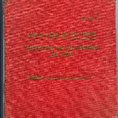
W G Didcote’s South African Air Force observer’s or air gunner’s log book
Tags: 115 Squadron; 1651 HCU; 1653 HCU; 1678 HCU; 17 OTU; 186 Squadron; 218 Squadron; 83 Squadron; 90 Squadron; Advanced Flying Unit; aircrew; Anson; bombing; bombing of Nuremberg (30 / 31 March 1944); bombing of the Le Havre E-boat pens (14/15 June 1944); bombing of the Normandy coastal batteries (5/6 June 1944); Botha; Heavy Conversion Unit; Lancaster; Lancaster Mk 1; Lancaster Mk 2; Lancaster Mk 3; Me 110; navigator; Normandy campaign (6 June – 21 August 1944); Operation Dodge (1945); Operation Exodus (1945); Operational Training Unit; Oxford; RAF Chedburgh; RAF Coningsby; RAF Manby; RAF Millom; RAF Silverstone; RAF Stradishall; RAF Tuddenham; RAF Waterbeach; RAF Witchford; RAF Wratting Common; Stirling; Tiger Moth; training; Wellington
W G Anderson's observer’s and air gunner’s flying log book
Tags: 101 Squadron; 1667 HCU; 18 OTU; Advanced Flying Unit; aircrew; Anson; Dominie; Halifax; Heavy Conversion Unit; killed in action; Lancaster; Lancaster Finishing School; missing in action; Operational Training Unit; Proctor; RAF Binbrook; RAF Faldingworth; RAF Finningley; RAF Hemswell; RAF Ludford Magna; RAF Millom; RAF Yatesbury; training; Wellington; wireless operator
W E Lucas’ pilots flying log book
Tags: 139 Squadron; 15 Squadron; 162 Squadron; 19 OTU; 20 OTU; 9 Squadron; aircrew; Anson; bombing; bombing of Cologne (30/31 May 1942); Cook’s tour; Flying Training School; H2S; Halifax; Lancaster; Magister; mine laying; Mosquito; Operational Training Unit; Oxford; pilot; RAF Alconbury; RAF Bourn; RAF Hartford Bridge; RAF Honington; RAF Hullavington; RAF Kinloss; RAF Lossiemouth; RAF Upwood; RAF Warboys; RAF Waterbeach; RAF Wyton; Stirling; training; Wellington; Whitley
W C Jones’ navigator’s, air gunner’s and air bomber’s flying log book
Tags: 11 OTU; 1669 HCU; 218 Squadron; Advanced Flying Unit; aircrew; bombing; Cook’s tour; Dominie; Heavy Conversion Unit; Lancaster; Operation Exodus (1945); Operation Manna (29 Apr – 8 May 1945); Operational Training Unit; Proctor; RAF Chedburgh; RAF Langar; RAF Llandwrog; RAF Madley; RAF Westcott; training; Wellington; wireless operator
W B Baker’s observers and air gunners flying log book
Tags: 626 Squadron; air gunner; Air Gunnery School; aircrew; Bombing of Mailly-le-Camp (3/4 May 1944); Conspicuous Gallantry Medal; Defiant; Distinguished Flying Cross; forced landing; killed in action; Lancaster; Normandy campaign (6 June – 21 August 1944); RAF Stormy Down; RAF Wickenby; training; Whitley
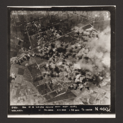
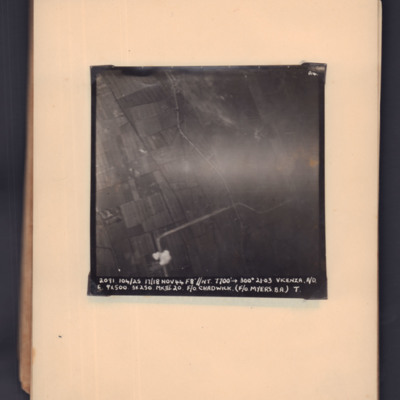
Volkel
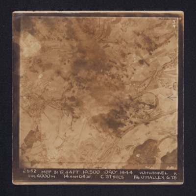
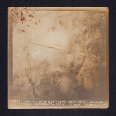
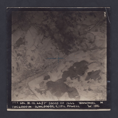
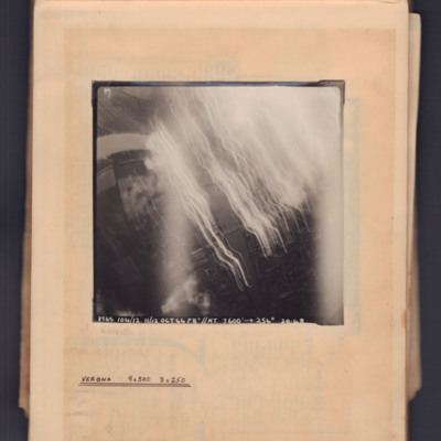
Vohwinkel
Vohwinkel
It is annotated: "5B" and captioned: "2659 MEP 1/2.1.45//NT(C)7' 19,500. 360º 1944 VOHWINKEL K 1HC4000IN.…
Vohwinkel
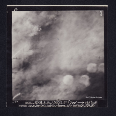
Vitry
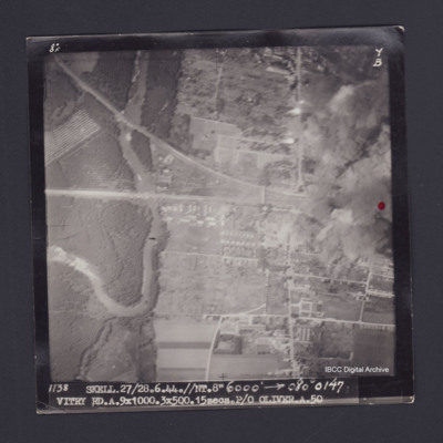
Vitry
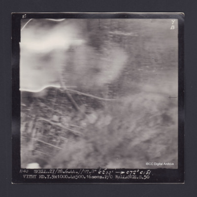
Vitry
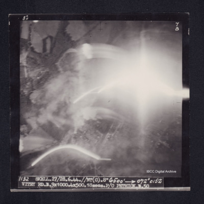
Vitry
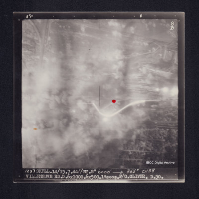
Villeneuve
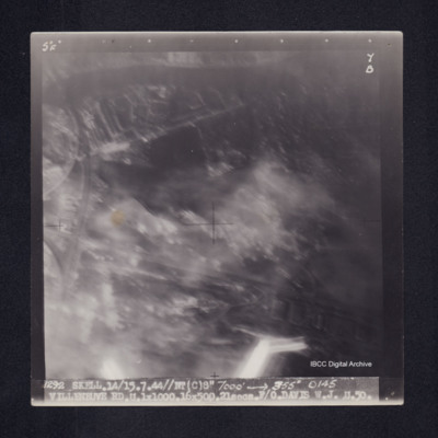
Villeneuve
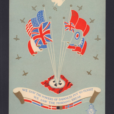
Victory in Europe card
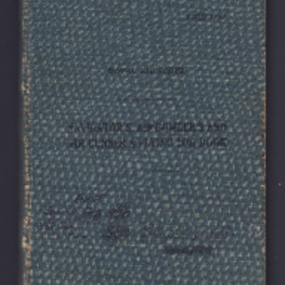
Victor Stapely's navigator's, air bomber's and air gunner's flying log book
Tags: 1656 HCU; 166 Squadron; aircrew; Anson; Beaufighter; Bombing of Mailly-le-Camp (3/4 May 1944); bombing of Nuremberg (30 / 31 March 1944); bombing of the Normandy coastal batteries (5/6 June 1944); C-47; Dominie; flight engineer; Halifax; Heavy Conversion Unit; Lancaster; Lancaster Finishing School; mine laying; Mosquito; Normandy campaign (6 June – 21 August 1944); Proctor; RAF Henlow; RAF Kirmington; RAF Lindholme; RAF St Athan; RAF Watchfield; Tiger Moth; training; York

