Browse Items (754 total)
- Tags: target photograph
Sort by:
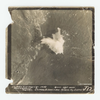
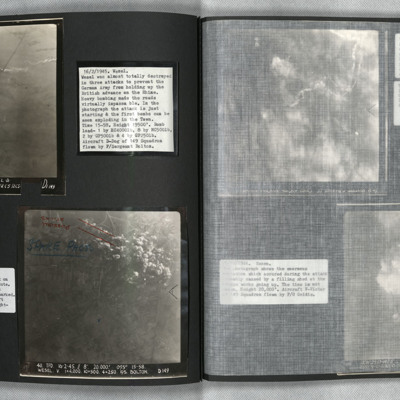
Westkappelle
Target photograph of the Westkappelle seawall. Captioned Captioned '3 3 274 WKY. 3.10.44//C 8" 14:55 [arrow] 080° 4000' West Kappelle Sea Wall J. 1x4000. 8x1000. 1x500. 18 secs F/L Curtis J 12.'.
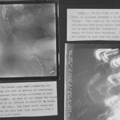
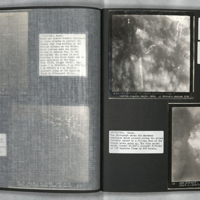
Westkapelle Dyke and Dortmund
Two target photographs from an album.
Photo 1 is Westkapelle dyke which was bombed to flood Walchern Island, which was below sea level.
Photo 2 is a night attack on Dortmund, most of the image obscured by anti-aircraft fire and target indicators.
Photo 1 is Westkapelle dyke which was bombed to flood Walchern Island, which was below sea level.
Photo 2 is a night attack on Dortmund, most of the image obscured by anti-aircraft fire and target indicators.
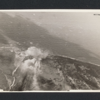
Westkapelle
Target photograph of a coastline running from bottom right to centre left then bottom left. There is a bomb explosion centre left.
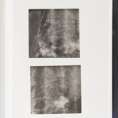
Westkapelle
Top - coastline curving from top left to bottom centre. Some bomb explosions are visible bottom left on coast. Bottom - open ground with a built up area centre left. Bomb explosions bottom right quadrant.
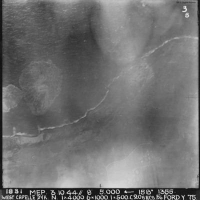
West Capelle Dyk N
A vertical aerial photograph of the Westkapelle Dyke, Vlissingen. The coastline can be seen but little on the ground. annotated '1831 MEP 3.10.44// 8” 5,000 [arrow] 158[degrees] 1355. WEST CAPELLE DYK. N. 1 x 4000. 6x1000. 1x500.C 20 SECS. F/O…
Wesel and Essen
Photo 1 is a vertical aerial photograph of Wesel during an attack. The town is obscured by cloud and the bombers used Gee-H. There are tracks of a bomber going down in flames and exploding on contact with the ground. Photo 2 is a vertical aerial…
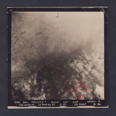
Wesel
A vertical aerial photograph of Wesel, orientated with south to the top. Wesel is not covered by the photograph but lies below the bottom edge. However, the Wesel-Datteln Kanal is clearly visible, cutting across the middle of the frame, as are the…
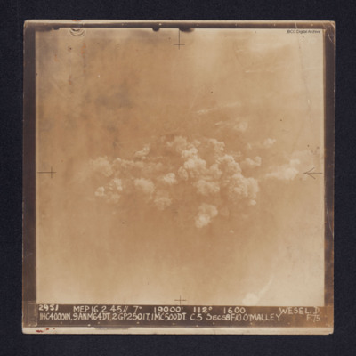
Wesel
Target photograph of Wesel. Some roads and railway tracks can be seen in the upper half while at the centre there are several plumes of smoke. The whole area is covered by thin cloud.
It is captioned: "2952 MEP. 16.2.45//7" 19,000' 112º 1600 WESEL.…
It is captioned: "2952 MEP. 16.2.45//7" 19,000' 112º 1600 WESEL.…
Wesel
Photo 1 and 2 are vertical aerial photographs of Wesel during the attack. The first image is at the start of the bombing and one explosion can be seen. In the second image, one minute later, there are many explosions.
Wesel
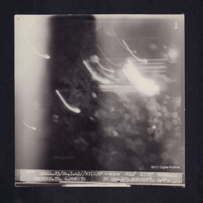
Target photograph of Wesel. Obscured by light streaks and bomb explosions, No clear detail visible. Captioned '5°F', '5B', '4854 SKELL.23/24.3.45//NT(C)8" 11000' 030° 2237 WESEL.Q 8MC1000.TD. 6ANM65TD 21SECS.F/O.ROOCROFT.Q.61.'. On the reverse…
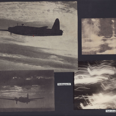
Wellingtons Over the Target
Photo 1 is an air to air image of a Wellington IV.
Photo 2 is a Wellington landing at night.
Photo 3 is a vertical aerial photograph with two Wellingtons. No detail is visible on the ground due to cloud and anti-aircraft fire.
Photo 4 is a…
Photo 2 is a Wellington landing at night.
Photo 3 is a vertical aerial photograph with two Wellingtons. No detail is visible on the ground due to cloud and anti-aircraft fire.
Photo 4 is a…
Watten V2 bunker
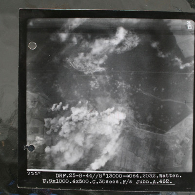
Target photograph showing forest area in top half with smoke from bomb explosions. Many craters are visible in this wooded area. Cleared area where tracks converge in this wooded area top centre, just edged by clouds. Bunker itself is just below and…
Watten
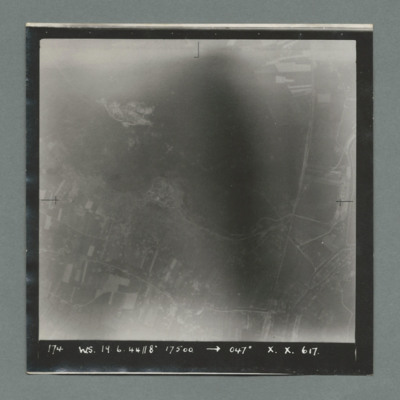
Target photograph showing open countryside with fields at the bottom and open area at the top. A road runs top to bottom on right and another left to right at bottom. Caption '174, WS, 19.6.44, 8" 17500, 047 X., X. 617'. On the reverse '51.95/16'.
Watten
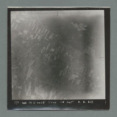
Target photograph showing open countryside with fields and a road running top left to bottom right. There is an open area with no fields top right. Caption '173, WS, 19.6.44, 8", 17500, 047, X., X., 617'. On the reverse '51:95/15'.
Watten
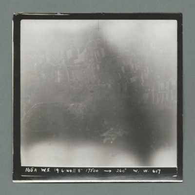
Target photograph showing open countryside with fields at the top. Caption '165A, WS, 19.6.44, 8", 17500, 260, W., W., 617'. On the reverse '51:95/14'.
Watten
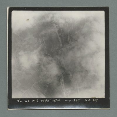
Target photograph partially obscured by cloud showing open countryside with some roads. Caption '152, WS, 19.6.44, 8", 16700, 240 degrees, S., S., 617'. On the reverse '51:95/13'.
Watten
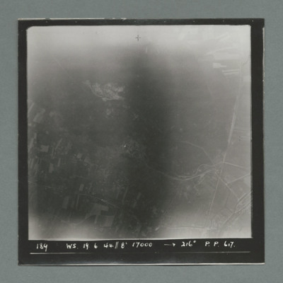
Target photograph showing open country with fields at the bottom and open area at the top. Caption '184, WS, 19.6.44, 8", 17000, 216 degrees, P., P., 617'. On the reverse '51:05/12'.
Watten
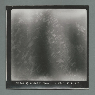
Target photograph showing open countryside with fields, Road runs top left to bottom right. Caption '154, WS, 19.6.44, 8", 020 degrees, J., L., 617'. On the reverse '51:95/11'.
Watten
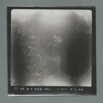
Target photograph showing open countryside with fields bottom left and an open area on the right. Roads run top left to bottom right. Caption '155, WS, 19.6.44, 18400, 020 degrees, J., L., 617'. On the reverse '51:95/10'.
Watten
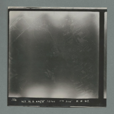
Target photograph showing open countryside. Caption '186, W.S., 19.6.44, 8", 18500, 200 dsegrees, H., H., 617', On the reverse '51:95/9'.
Watten
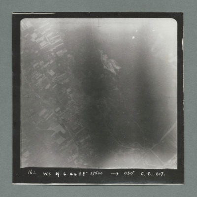
Target photograph showing open countryside with fields on the left and an open area on the right. Caption ' 162. WS, 19.6.44, 8", 17500, 030 degrees, C., C., 617'. On the reverse '51:95/8'.
Watten
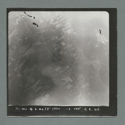
Target photograph showing open countryside with fields. Road runs top left top bottom right. Cap[tion '161, WS, 19.6.44, 8", 17500, 030 degrees, C., C., 617'. On the reverse '51:95/7'.
Watten
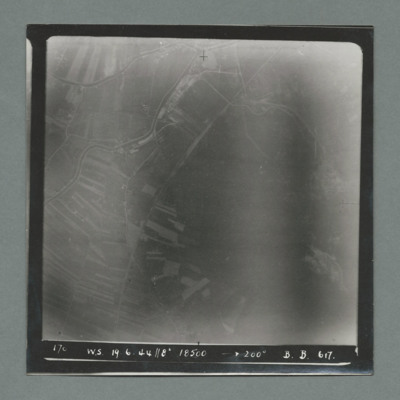
Target photograph showing open countryside with fields on the left. Caption '170, W.S., 19.6.44, 8", 18500, 200 degrees, B., B., 617'. On the reverse '51;95/6'.
Watten
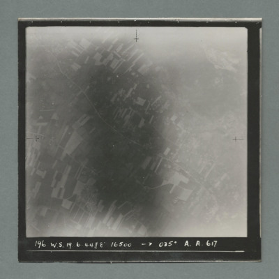
Target photograph showing open countryside with fields. Road runs top left to bottom right. Caption '196, W.S., 19.6.44, 8", 16500, 035 degrees, A., A., 617'. On the reverse '51:95/5'.
War Memoir - George Bilton
Talks of early life at school and work in Hull. Volunteered as ARP messenger and described duties and air raid damage in Hull. Volunteered as aircrew and initially selected for wireless operator/air gunner but later asked to change to air engineer.…
Tags: 427 Squadron; 428 Squadron; 434 Squadron; 6 Group; aerial photograph; Air Raid Precautions; aircrew; anti-aircraft fire; bomb aimer; bombing; C-47; civil defence; Cook’s tour; crewing up; flight engineer; Halifax; Heavy Conversion Unit; lack of moral fibre; Lancaster; military discipline; military ethos; military living conditions; military service conditions; mine laying; Normandy campaign (6 June – 21 August 1944); Pathfinders; RAF Bruntingthorpe; RAF Croft; RAF Harwell; RAF Middleton St George; RAF St Athan; RAF Thorney Island; RAF Topcliffe; RAF Warboys; RAF Woodbridge; target indicator; target photograph; training; V-2; V-weapon; Wellington; Window; wireless operator / air gunner

