Browse Items (4303 total)

  • Tags: bombing

Mr Karl L Wickenrode's account of the events at Frankfurter Straße, Weinbergbunker, Marstall and Kaufunger Straße.

PBanksP15010100.jpg
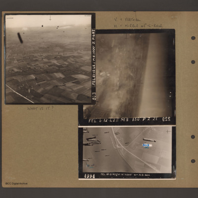
Top left - oblique aerial photograph of open countryside with fields and a few woods, dotted with farms. Many dark 'blots' which could be anti-aircraft fire bursts. Captioned 'A03 FEL 21.12.42//M8:1000 J.p.48'. Top right - oblique aerial photograph -…

BNealeETHNealeETHv020001.jpg
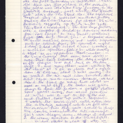
Ted Neale's account of when he was 18 at the Woolwich Arsenal. He tells of a bombing attack at the factory, which started just as they were leaving at 5pm.

PLoudonAE16010001.jpg
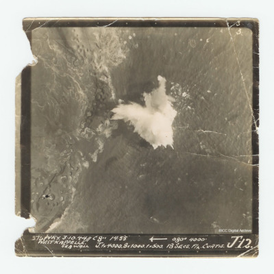
Target photograph of the Westkappelle seawall. Captioned Captioned '3 3 274 WKY. 3.10.44//C 8" 14:55 [arrow] 080° 4000' West Kappelle Sea Wall J. 1x4000. 8x1000. 1x500. 18 secs F/L Curtis J 12.'.

PFordTA17040007.jpg
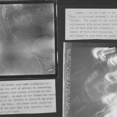
Two target photographs from an album.
Photo 1 is Westkapelle dyke which was bombed to flood Walchern Island, which was below sea level.
Photo 2 is a night attack on Dortmund, most of the image obscured by anti-aircraft fire and target indicators.

MPotterPL1878961-150914-24.jpg
Account of return from an operation to Westkapelle when they flew over authors father's farm and local village where they threw out window.

PGrundyAF15010039.jpg
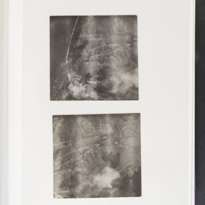
Top - coastline curving from top left to bottom centre. Some bomb explosions are visible bottom left on coast. Bottom - open ground with a built up area centre left. Bomb explosions bottom right quadrant.

PGrundyAF15010040.jpg
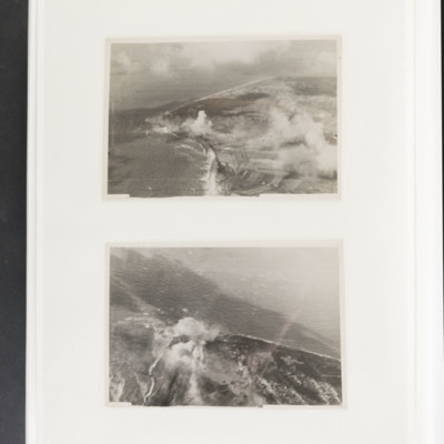
Top - coastline curving from top left to centre left and then bottom centre. Bomb explosions visible in centre just inland of coast. Bottom - coastline juts out from bottom to centre with bomb explosion on coastline at centre.

CSearleROJ-170725-01.pdf
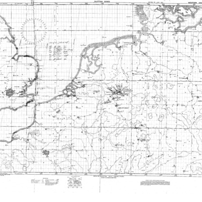
A planning chart covering the UK and Western Germany. Rex Searle's operations are annotated on it.

Tags:

PFOMetheringhamAF19020013.jpg
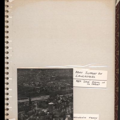
Bottom - oblique aerial photograph of town with railway running left to right through middle. Captioned 'Unknown town'. Submitted with description 'Oblique "Cook's tour" aerial photo of unknown town.'.

This is West Essen, the photo is taken…

PFordTA17030006.jpg
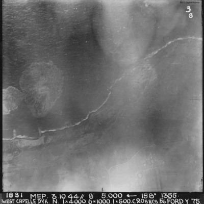
A vertical aerial photograph of the Westkapelle Dyke, Vlissingen. The coastline can be seen but little on the ground. annotated '1831 MEP 3.10.44// 8” 5,000 [arrow] 158[degrees] 1355. WEST CAPELLE DYK. N. 1 x 4000. 6x1000. 1x500.C 20 SECS. F/O…

PAllamAJ1717.jpg
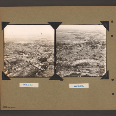
Oblique aerial photograph of a city with much bomb damage. Submitted with caption 'Wesel Cooks tour'. Willibrordi Cathedral is to far left centre.

PFOMetheringhamAF19050007.jpg
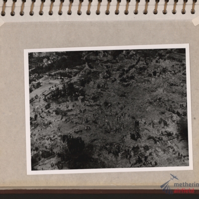
Oblique aerial photograph of a town totally destroyed. Large structure lower left, probably church. Submitted with description 'Oblique aerial photo showing bomb damage to an unidentified urban area'.

PThomasAF20040020.jpg
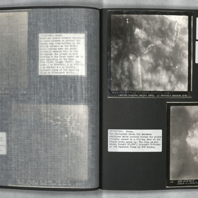
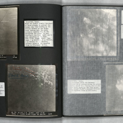
Photo 1 is a vertical aerial photograph of Wesel during an attack. The town is obscured by cloud and the bombers used Gee-H. There are tracks of a bomber going down in flames and exploding on contact with the ground. Photo 2 is a vertical aerial…

PDarbyCAH18010001.jpg
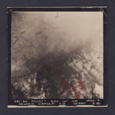
A vertical aerial photograph of Wesel, orientated with south to the top. Wesel is not covered by the photograph but lies below the bottom edge. However, the Wesel-Datteln Kanal is clearly visible, cutting across the middle of the frame, as are the…

PRobinsonS18010013.jpg
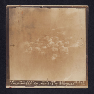
Target photograph of Wesel. Some roads and railway tracks can be seen in the upper half while at the centre there are several plumes of smoke. The whole area is covered by thin cloud.
It is captioned: "2952 MEP. 16.2.45//7" 19,000' 112º 1600 WESEL.…

SCattyMA164193v10030-0003.jpg
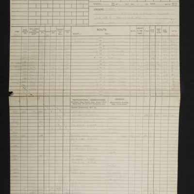
Navigational computations and a chart for an operation to Wesel.

PEleyNJ1619.jpg
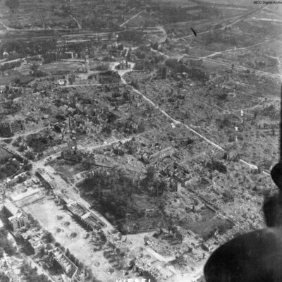
An oblique aerial photograph, just catching the starboard engines of the aircraft, is labelled as Wesel, showing almost total destruction of buildings. The prominent building top middle is Berliner Tor. The cleared road leading to it and around it,…

CWyldeHJ-220721-010003.jpg
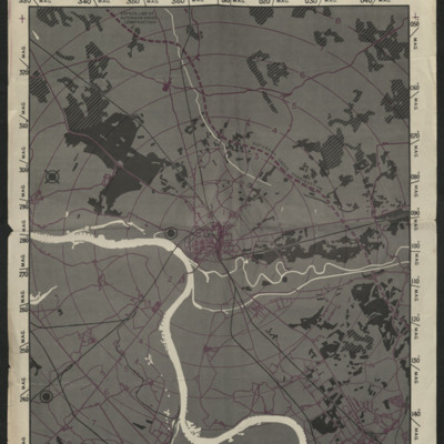
A map to be used on the bombing of Wesel.

Tags: ;

PBanksP15010034.jpg
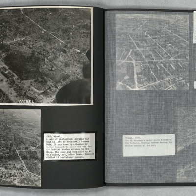
Aerial inclined photograph showing a town with almost all buildings damaged or completely destroyed. In the foreground parkland with trees and a few scattered damaged buildings. There are a number of bomb craters visible. In the centre the main part…

PBanksP15010046.jpg
On the left an aerial inclined photograph of a badly damaged town. The the foreground a open area with few standing buildings, large areas of rubble and occasional bomb craters. In the bottom right quadrant a road circles a small wooded area. There…

PThomasAF20040019.jpg
Photo 1 and 2 are vertical aerial photographs of Wesel during the attack. The first image is at the start of the bombing and one explosion can be seen. In the second image, one minute later, there are many explosions.

PHouriganM18010051.jpg
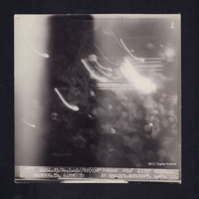
Target photograph of Wesel. Obscured by light streaks and bomb explosions, No clear detail visible. Captioned '5°F', '5B', '4854 SKELL.23/24.3.45//NT(C)8" 11000' 030° 2237 WESEL.Q 8MC1000.TD. 6ANM65TD 21SECS.F/O.ROOCROFT.Q.61.'. On the reverse…

PThomasAF20040033.jpg
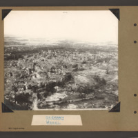
Low level oblique aerial photographs of Wesel. Extensive bomb damage is visible in both images.
Output Formats

atom, dc-rdf, dcmes-xml, json, omeka-xml, rss2