Browse Items (260 total)
- Spatial Coverage is exactly "Atlantic Ocean--North Sea"
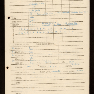
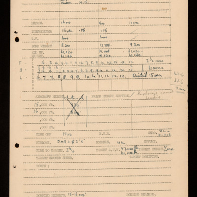
Bomb aimers briefing 11 October 1944 - Walcheren
Tags: aircrew; bomb aimer; bombing; briefing; target indicator; Window
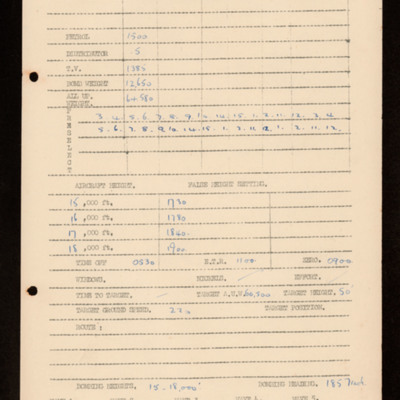
Bomb aimers briefing 17 October 1944 - Walcheren
Tags: aircrew; bomb aimer; bombing; briefing; target indicator
Bomb aimers briefing 7 October 1944 - Walcheren
Tags: aircrew; bomb aimer; bombing; briefing; target indicator
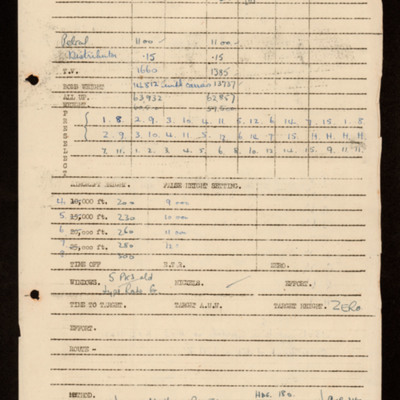
Bomb aimers briefing 5 October 1944 - Wilhelmshaven
Tags: aircrew; bomb aimer; bombing; briefing
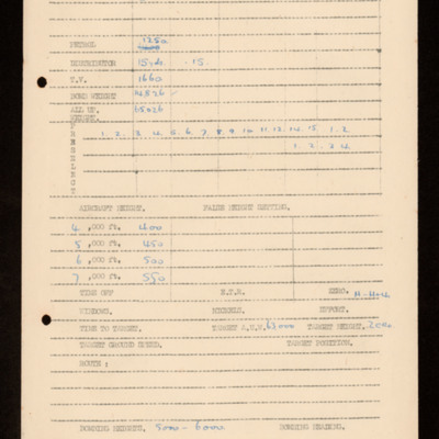
Bomb aimers briefing 18 September 1944 - Bremerhaven
Tags: 49 Squadron; aircrew; bomb aimer; bombing; briefing; H2S; Master Bomber; Mosquito; target indicator; Window
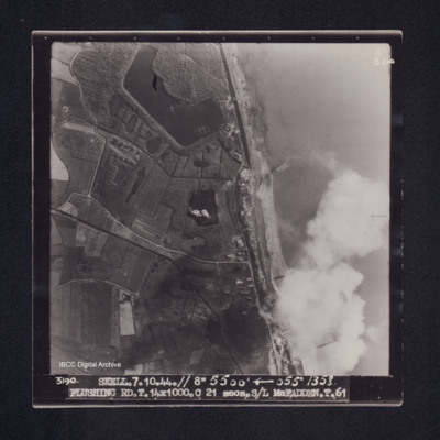
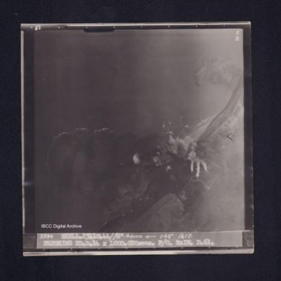
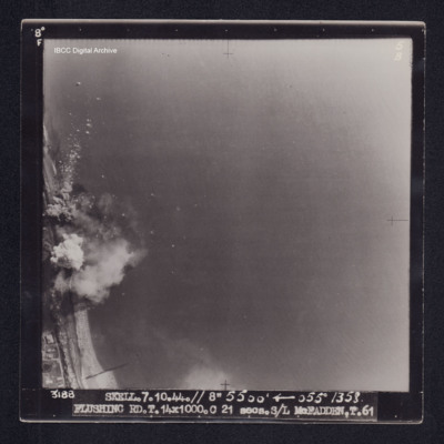
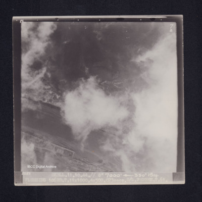
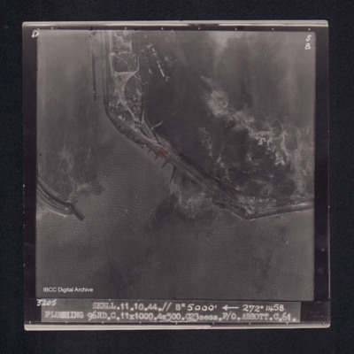
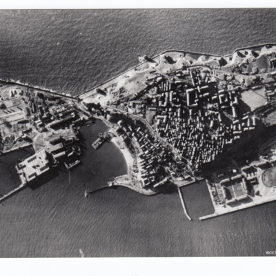
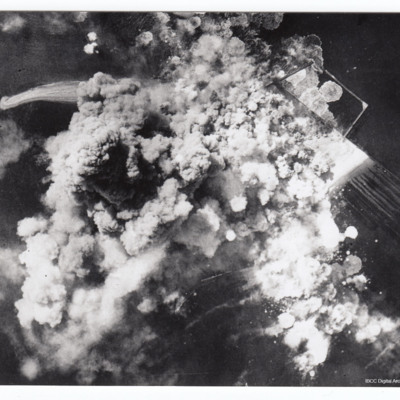
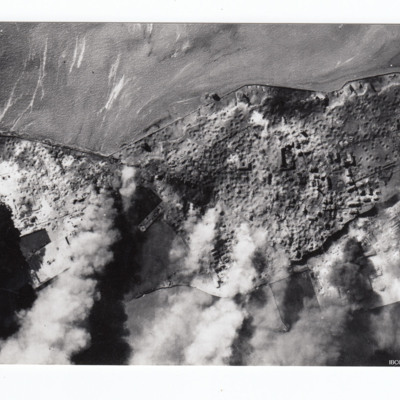
Flushing
Flushing
Flushing
Flushing
Donald Cochrane's operations
Tags: anti-aircraft fire; bombing; Bombing of Mailly-le-Camp (3/4 May 1944); bombing of Nuremberg (30 / 31 March 1944); bombing of the Boulogne E-boats (15/16 June 1944); bombing of the Le Havre E-boat pens (14/15 June 1944); bombing of the Normandy coastal batteries (5/6 June 1944); Halifax; Ju 88; Lancaster; mine laying; Normandy campaign (6 June – 21 August 1944); Pathfinders; searchlight; target indicator
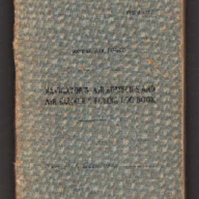
Donald Cochrane’s observer's and air gunner's flying log book
Tags: 1657 HCU; 30 OTU; 460 Squadron; aircrew; Anson; bombing; Bombing of Mailly-le-Camp (3/4 May 1944); bombing of Nuremberg (30 / 31 March 1944); bombing of the Boulogne E-boats (15/16 June 1944); bombing of the Le Havre E-boat pens (14/15 June 1944); bombing of the Normandy coastal batteries (5/6 June 1944); Dominie; Heavy Conversion Unit; Lancaster; Lancaster Finishing School; mine laying; Normandy campaign (6 June – 21 August 1944); Operational Training Unit; Proctor; RAF Binbrook; RAF Feltwell; RAF Seighford; RAF Stradishall; Stirling; training; Wellington; wireless operator
Flushing
Interview with James Froud. Two
Interview with Edward Harry Matthews
Interview with Frank Page
Basil Ambrose’s flying log book for navigators, air bombers, air gunners, flight engineers
Tags: 1660 HCU; 467 Squadron; 617 Squadron; aircrew; bombing; flight engineer; Heavy Conversion Unit; Lancaster; Lancaster Finishing School; Lincoln; Operation Dodge (1945); Operation Exodus (1945); Oxford; RAF Binbrook; RAF St Athan; RAF Swinderby; RAF Syerston; RAF Waddington; RAF Woodhall Spa; Stirling; training
Helgoland
Additional information about this item was kindly provided by the donor.
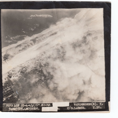
Wangerooge
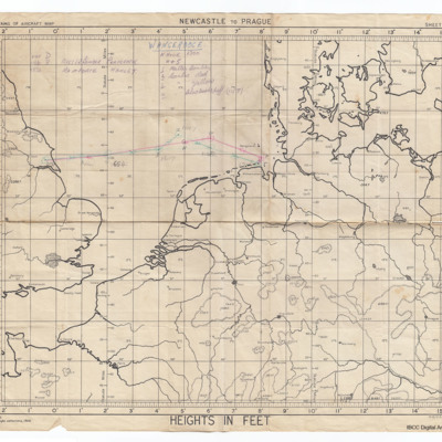
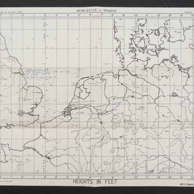
Route to Wangerooge
Tags: bombing; Master Bomber
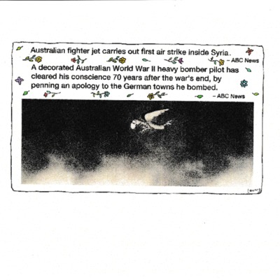
Correspondence concerning Laurence Larmer's regrets over the cities he bombed during the Second World War
Tags: bombing; perception of bombing war
Laurence Larmer's Royal Australian Air Force flying log book
Tags: 1658 HCU; 27 OTU; 466 Squadron; 51 Squadron; Advanced Flying Unit; aircrew; Anson; bombing; bombing of Helgoland (18 April 1945); Cook’s tour; Flying Training School; Halifax; Halifax Mk 3; Heavy Conversion Unit; Operational Training Unit; Oxford; pilot; RAF Banff; RAF Dallachy; RAF Driffield; RAF Lichfield; RAF Riccall; RAF Snaith; Tiger Moth; training; Wellington
Helgoland
Heligoland
Additional information about these items was kindly provided by the donor.
Jack Warner’s navigator's, air bomber's and air gunner's flying log book
Tags: 1659 HCU; 1664 HCU; 408 Squadron; 428 Squadron; aircrew; anti-aircraft fire; bombing; bombing of the Normandy coastal batteries (5/6 June 1944); C-47; flight engineer; Gneisenau; Halifax; Halifax Mk 2; Halifax Mk 5; Heavy Conversion Unit; mine laying; Normandy campaign (6 June – 21 August 1944); RAF Croft; RAF Leeming; RAF Middleton St George; RAF St Athan; RAF Topcliffe; Scharnhorst; training; Window

