Browse Items (1442 total)

  • Tags: aerial photograph

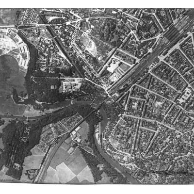
PProbynEA1702.jpg
Reconnaissance photograph of Görlitz. In the centre is the Neisse Viaduct railway crossing the Neisse River. The main railway station is to the right, with St Jakobus Cathedral just above and to its left. Tree-lined boulevards are also well…

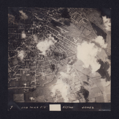
PJonesJT17050015.jpg
An aerial vertical photograph of Lincoln, England. Annotated 9 Job 3423 F/5 5/7/44 Jones. Sparse cloud cover. North is towards the bottom of the picture. The centre of the city is to the left of the photograph, showing residential areas. To the top…

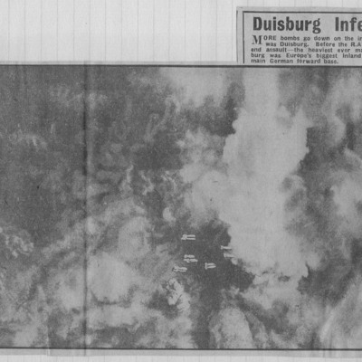
NWeedenRC170409-010003.jpg
Target photograph of a city visible through breaks in cloud and smoke. Captioned 'vast smoke cloud trails away with wind from blazing Duisburg during the RAFs 10000 - ton week-end assault'.

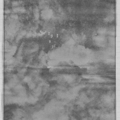
NWeedenRC170409-010004.jpg
Target photograph of city visible between breaks in cloud and smoke. Falling bombs visible bottom centre. Captioned 'More bombs go down in inferno that was Duisburg'.

NWeedenRC170409-010005.jpg
Target photographs with clouds and smoke with falling bombs in centre. Text below describes twin attacks on Duisburg which ended the life of Germany's greatest inland port.

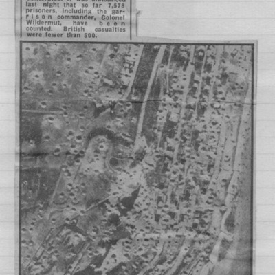
NWeedenRC170409-030002.jpg
Reconnaissance photograph showing cratered landscape with caption explaining that this was part of fortress area of Le Havre after the RAF's 5,000 ton daylight attack.

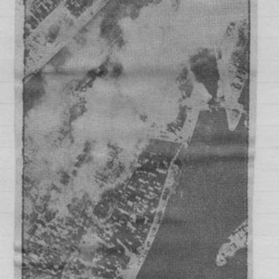
NWeedenRC170409-030004.jpg
Article includes target photograph of dock area with smoke and explanatory text - Round the area of the Bassin du Commerce at Le Havre, explains level of damage assessed.

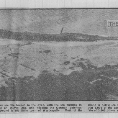
NWeedenRC170409-040005.jpg
Photograph of shoreline with 'breach' indicated by arrow and shows flooded area. Text explains that the photograph shows breach in dyke with sea rushing in. Germans report 6000 of garrison trapped by floods.

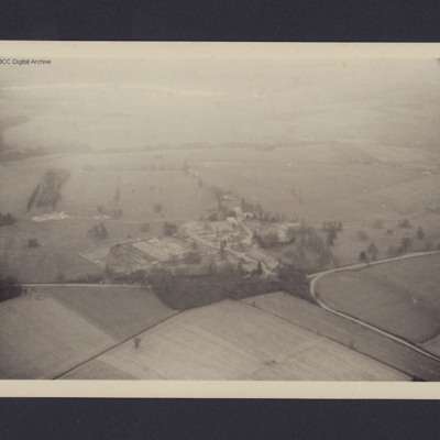
PDoxseyJA18010037.jpg
View of the junction of Park road and Bullington End Road, Milton Keynes. Open countryside and fields with site in the centre consisting huts and multi-storey buildings.

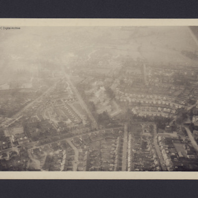
PDoxseyJA18010039.jpg
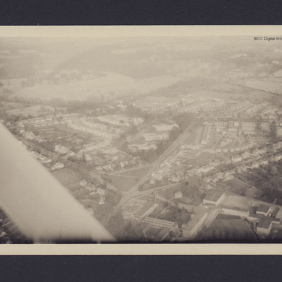
View of part of a town with residential buildings, from the air.

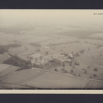
PDoxseyJA18010041.jpg
View of the junction of Park road and Bullington End Road, Milton Keynes. Open countryside and fields with site in the centre consisting huts and multi-storey buildings. Annotated 'M1'.

PDoxseyJA18010043.jpg
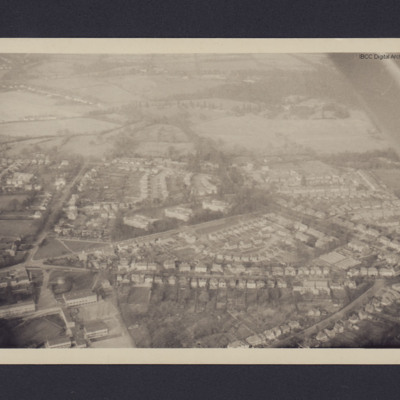
View of residential part of town with open countryside beyond.

PDoxseyJA18010045.jpg
Part of town with open countryside beyond.

SKingEJ182986v10145.jpg
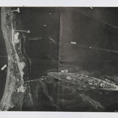
Two reconnaissance photographs. The first is low level of the Tirpitz moored stern on to the land. Jetty connects stern to land. Several other jetties are present and various smaller boats are moored or moving. Booms are seen above Tirpitz. Several…

PStimpsonMC19010101.jpg
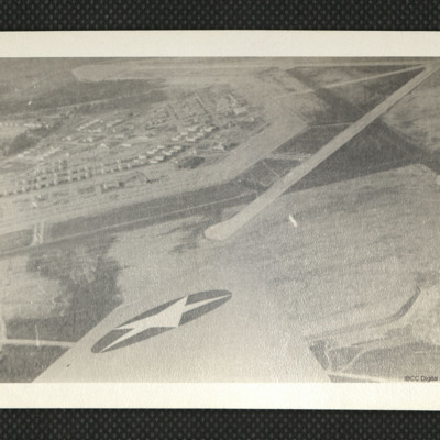
An aerial photograph showing runways and apron at Moody Field, as annotated on the reverse.

SKingEJ182986v10128.jpg
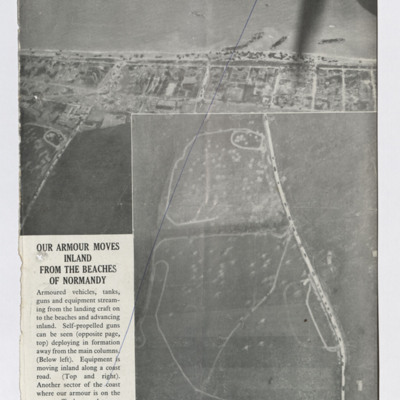
Five newspaper clippings, four with captions, illustrate the damage done to the infrastructure in support of the allied ground forces.
The first captioned 'Our armour moves inland from the beaches of Normandy'. This shows part of the beach with…

SKingEJ182986v10107.jpg
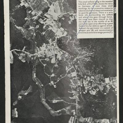
Press cutting of air to ground photograph of an oil field in Yugoslavia showing the defences erected by the German armed forces demonstrating the importance given to them.

SKingEJ182986v10097.jpg
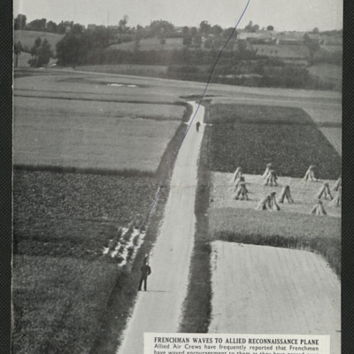
Two press cuttings. The first is captioned 'Frenchman waves to allied reconnaissance plane' and shows a road with two figures, one of them waving, the road running through small farmed fields, trees and more fields in the background.
The second is…

SKingEJ182986v10093.jpg
Six items, Edward's very brief description of the operation, his navigation plot, the expected H2S return over the target. Two press clipping, captioned 'The result of Bomber Commands 12,000 lb bomb attacks on one of the Enemy's V.2 rocket sites'.…

SKingEJ182986v10072.jpg
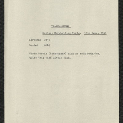
Five items, Edward's brief description of the operation their bomb aimer was sick so took replacement, quiet trip. Edward's navigation plot, and an indication of the H2S plot when over the target. There are two press clippings, the first has a…

SKingEJ182986v10061.jpg
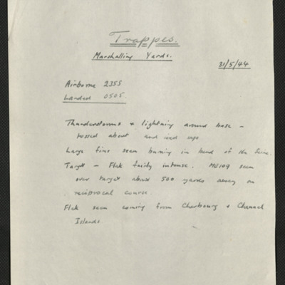
Six items, Edward's description of the operation to the railway centre, commenting on the thunderstorms encountered, his navigation plot, the expected H2S plot of the target with their track marked, a press cutting captioned 'Wrecked locomotives at…

SKingEJ182986v10065.jpg
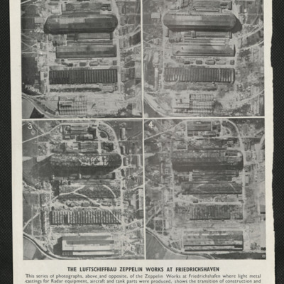
Four photographs captioned 'The Luftschiffbau Zepplin works at Friedrichshafen'. They show the same area over a period of time beginning in February 1943 and shows the works being camouflaged and eventually destroyed by bombing. The second page of…

SKingEJ182986v10067.jpg
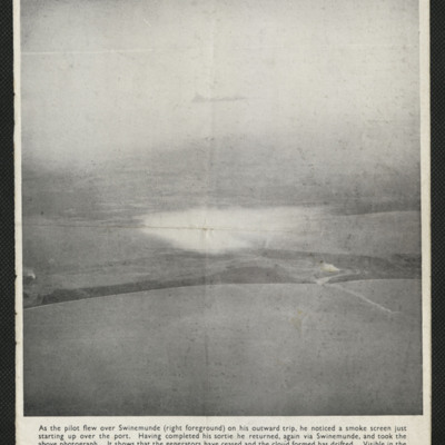
The air to ground photograph shows a smokescreen having drifted away from the area it was intended to protect. It also shows the smoke from over 100 miles away created by a bombing raid on the Erkner ball bearing factory.

PStimpsonMC19060011.jpg
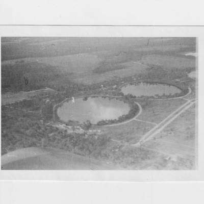
Two aerial views of the twin lakes at Valdosta, identified on the reverse
Output Formats

atom, dc-rdf, dcmes-xml, json, omeka-xml, rss2