Browse Items (1442 total)
- Tags: aerial photograph
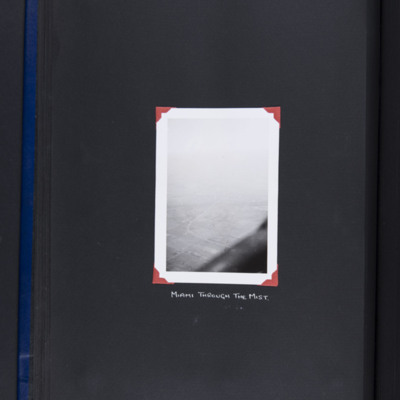
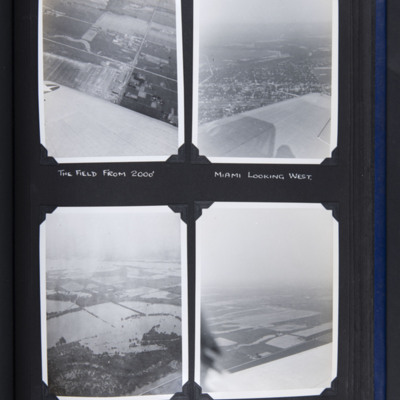
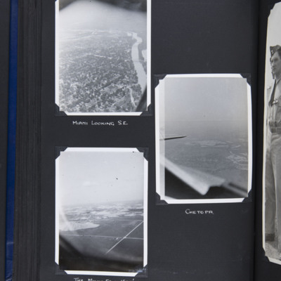
Miami Oklahoma
Ariel views
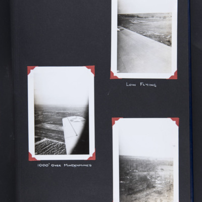
Middle left - oblique aerial photograph over wing of farmland. Captioned '1000' over Mindenmines'.
Bottom right - oblique aerial photograph…
Tags: aerial photograph; training
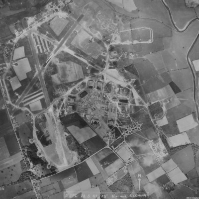
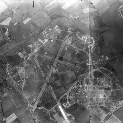
RAF Leeming
It is annotated '8 TPC 28.5.43// F5" 6" = 1 mile Leeming'.
RAF Leeming
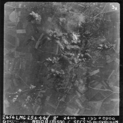
Gorenflos
The image is annotated '26565. LMG. 25.6.44// 8" 12600 --135° 0900 Goenflos Raid .A. 13x500 c secs W/O Puskas .A.429'
Tags: 429 Squadron; aerial photograph; aircrew; bombing; pilot; RAF Leeming; target photograph; V-1; V-weapon
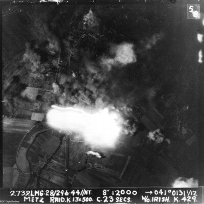
Metz
It is annotated '2739.LMG. 28/29.6.44 // NT 8" 12000 --> 041°0131 1/12 Metz Raid. K. 13x 500 c.23 secs W/O Irish . K.429.'
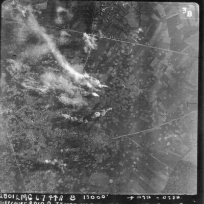
Siracourt
It is annotated '2801 LMG 6.7.44 // 8" 13000' --098° 0258 Siracourt Raid A 3 x 1000 10 x500 c 28secs WO Puskas A…
Noball Targets
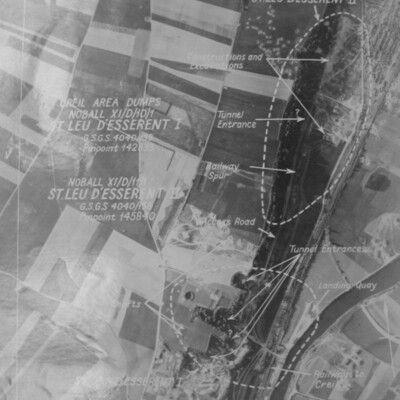
St Leu d'Esserent
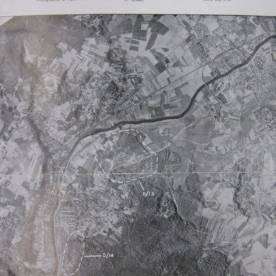
Photo 1 is a target aerial photograph with areas to be bombed. Tunnel entrances, constructions, excavations, railway and a landing quay are marked.
Photo 2 is a vertical aerial photograph taken during the…
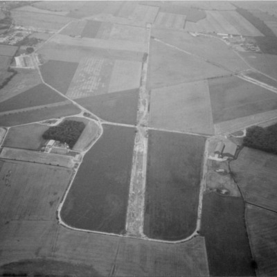
RAF Tholthorpe
Photo 1 is an oblique taken in the 1970s. Information supplied with the collection states 'The disused Tholthorpe airfield in the 1970s looking towards the west. The…
Airborne views round Miami Oklahoma
Top right - oblique aerial photograph of town in middle with open countryside beyond. Part of wing visible…
Airborne views around Miami Oklahoma
Middle right - oblique aerial photograph of a town in middle distance with part of cockpit coaming and tailplane visible.…
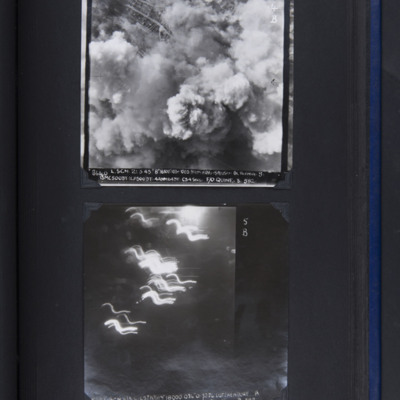
Bremen and Lutzkendorf
Bottom - target…
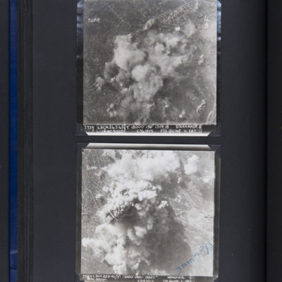
Sterkrade and Hannover
Bottom - target photograph showing…
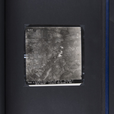
Dülmen
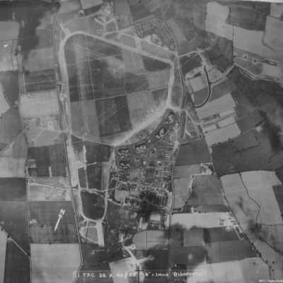
RAF Dishforth
It is captioned '11 TPC 28.5.43 //F5" 6"=1 mile…
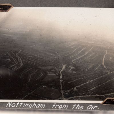
Nottingham
Aircraft is over Trent Bridge cricket ground and West Bridgeford (just in front of the propeller spinner), heading south. Just visible top left…
Tags: aerial photograph
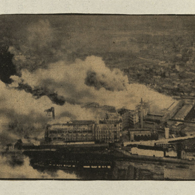
Air to ground attack of the Phillips Electronic Company factory in Eindhoven
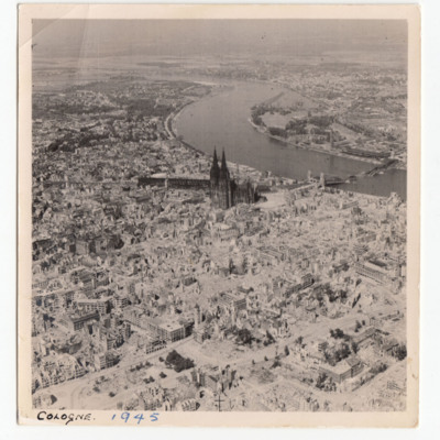
Cologne
Tags: aerial photograph; bombing; Cook’s tour
Lorient docks
Gorenflos V-1 base
Tags: aerial photograph; bombing; Halifax; V-1; V-weapon
Sam Saunder's Operations
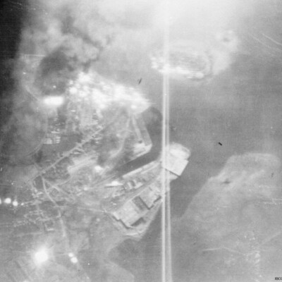
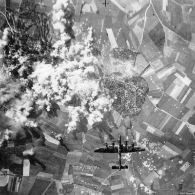
Photo 1 is a vertical aerial photograph partly obscured by tracer fire.
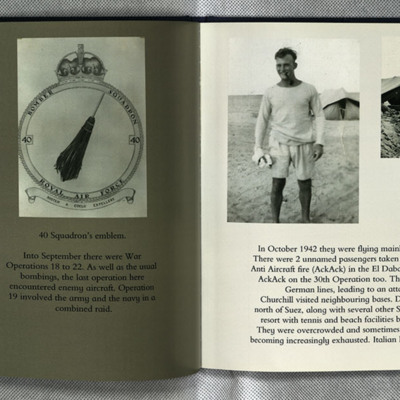
Photo 2 is the 40 squadron crest.
Photo 3 is Sam in shorts and tee shirt in front of a…
David Leicester’s Royal Australian Air Force flying log book for pilots
Tags: 158 Squadron; 1652 HCU; 1658 HCU; 24 OTU; 35 Squadron; 640 Squadron; Advanced Flying Unit; aerial photograph; aircrew; bombing; bombing of Hamburg (24-31 July 1943); bombing of Kassel (22/23 October 1943); bombing of Nuremberg (30 / 31 March 1944); Bombing of Trossy St Maximin (3 August 1944); Distinguished Flying Cross; Flying Training School; Halifax; Halifax Mk 2; Halifax Mk 3; Heavy Conversion Unit; Lancaster; Lancaster Mk 3; Master Bomber; Normandy campaign (6 June – 21 August 1944); Operational Training Unit; Oxford; Pathfinders; pilot; RAF Coningsby; RAF Grantham; RAF Graveley; RAF Honeybourne; RAF Leconfield; RAF Lissett; RAF Riccall; RAF Warboys; tactical support for Normandy troops; target photograph; Tiger Moth; training; Whitley
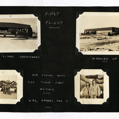
First Flight
Photo 1 is an Anson viewed from the port/rear, captioned 'The "Flying Greenhouse" '.
Photo 2 is three Ansons outside a hangar, captioned 'Warming Up'.
Photo 3 is three airmen standing at the front of an Anson,…

