Browse Items (1442 total)

  • Tags: aerial photograph
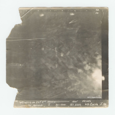
PLoudonAE16010005.jpg
Target photograph of Hopsten airfield. The lower right side is obscured by cloud or explosions. The left side of the image has been damaged. Captioned '5B.5B 66 WKY 16/17.9.44//NT 8" C 15000 [arrow] 120° 23.25 1/2 Hobsten [sic] Airfield J 20x500 27…

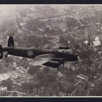
PDexterKI1711.jpg
Air to air view of Lancaster PM-R. In the background Lincoln Cathedral, Lincoln Castle and Bailgate area.

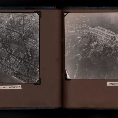
PWrigleyJ17040015.jpg
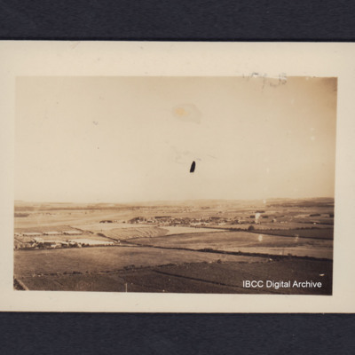
Photograph 1 is a vertical aerial photograph of a city on the coast. It is captioned 'Georgetown, Straits Settlement'
Photograph 2 is a vertical aerial photograph of a town on the coast. It is captioned 'Jesselton, Borneo'.
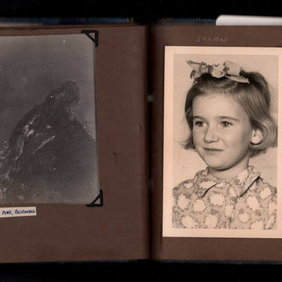
PWrigleyJ17040016.jpg
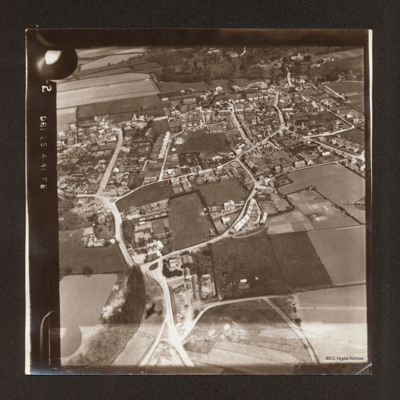
Photograph 1 is a vertical aerial photograph of a town on the coast. It is captioned 'Kudat Pier, Borneo'.
Photograph 2 is a head and shoulders portrait of a girl, captioned 'Susan'.
Photograph 3 is a head and shoulders portrait of a boy, captioned…

PLarmerLO15010006.jpg
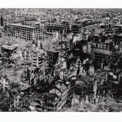
View of city centre with many badly damaged buildings as well as some completely destroyed.

Additional information about this item was kindly provided by the donor.

PLarmerLO15010007.jpg
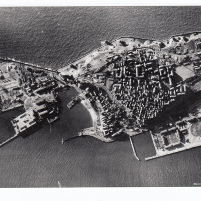
Reconnaissance photograph of Helgoland with port facilities visible.

Additional information about this item was kindly provided by the donor.

PLarmerLO15010012.jpg
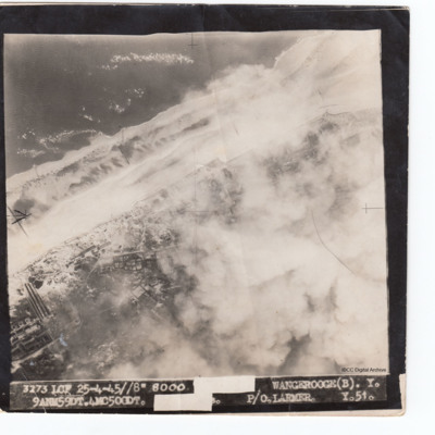
Target photograph of Wangerooge with coastline running middle left to top right. Buildings below with clouds or bomb explosions obscuring bottom right. Captioned '3273 LCF 25-4-45//8" 8000 [censored] Wangerooge(B). Y. 9AMN59DT.4MC500DT [censored],…

PPetrieIFP1801.jpg
Ian Petrie found himself struggling to find employment in recession hit New Zealand when he saw the advertisement to fly with the RNZAF. He couldn’t contemplate the thrill of flight at a time when opportunity for such travel was rare. He was…

PFlowersHJ1602.jpg
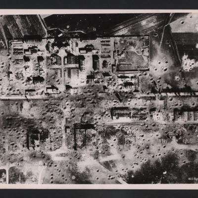
Vertical aerial photograph of an area showing severely destroyed buildings and large craters appearing throughout. A road is going through the middle of the buildings and the area is surrounded by fields, also covered with craters.
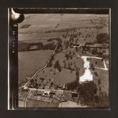
On the reverse…

PFlowersHJ1604.jpg
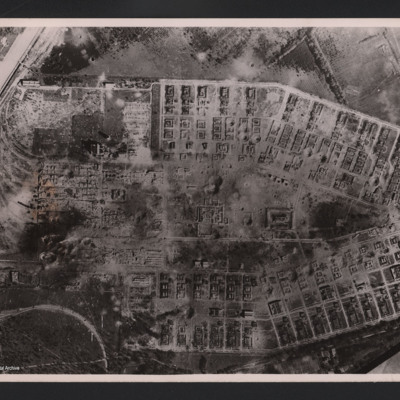
Aerial vertical photograph of two long rows of destroyed buildings around a central space with two destroyed individual buildings and a damaged roadway system. The area is surrounded by fields but at the left hand side of the photograph two main…

PFlowersHJ1608.jpg
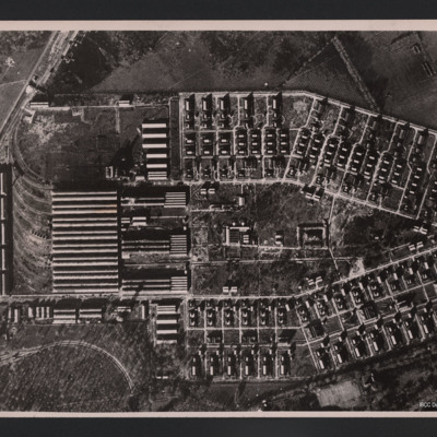
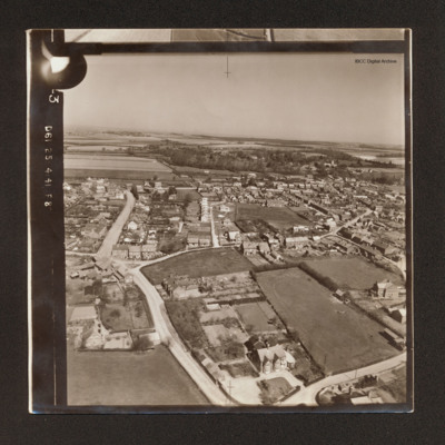
Vertical aerial photograph of an area of industrial buildings with a network of roads throughout and a main railway station on the left, where marshalling yards and train tracks are clearly visible. Many buildings of varying size and a wall is going…
PCoultonWA16010001.jpg
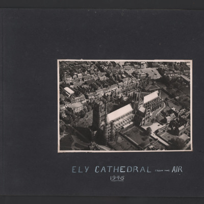
Oblique aerial photograph of Ely Cathedral and surrounding streets.

MHayleyCA146347-160303-010003.jpg
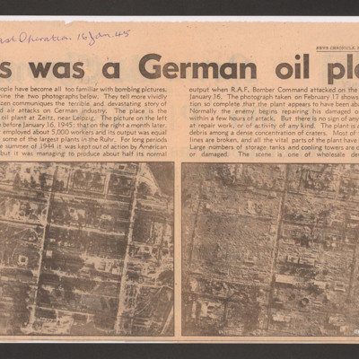
Shows the effects of an operation that destroyed the synthetic oil plant at Zeitz. Captioned 'My last operation 16 Jan. 45'.

SMathersRW55201v10002.jpg
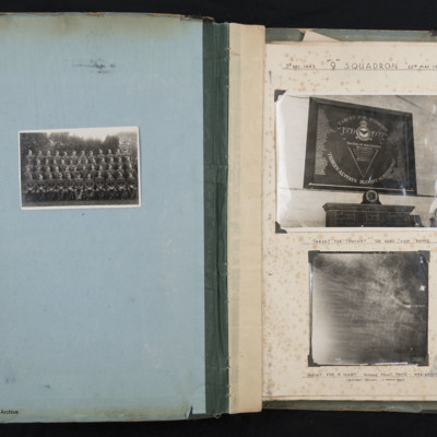
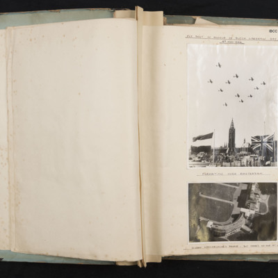
Three photographs arranged in an album.

On the left page is a formal photograph of of 47 trainee airmen and one officer, arranged in 4 rows.
The righthand page is entitled '3rd DEC 1943 "9" SQUADRON 22ND MAY 1944'. It holds two…

SMathersRW55201v10006.jpg
Photograph 1 is of 12 Lancasters over Amsterdam. In the fore ground is a Dutch flag and a Union Jack. There are various buildings behind. It is captioned 'Fly Past in honour of Dutch Liberation Day 4th May 1946.' and underneath 'Formation over…

PMooreWT1508.jpg
William Moore was born in Dunoon, Scotland in August 1924 and joined the Royal Air Force after spending some time in the Air Cadet Defence Corps and in the Air Training Corps. He volunteered for the Royal Air Force at the age of 17 and completed his…

MCluettAV120946-150515-08.jpg
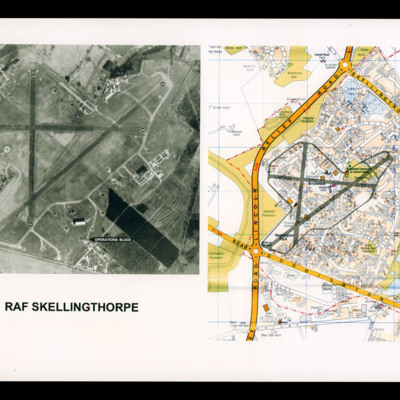
On the left a reconnaissance photograph of RAF Skellingthorpe marked with runway directions and operations blocked indicated by an arrow. On the right a colour map of the Birchwood section of Lincoln with airfield boundary and runways drawn over.

PLarmerLO15010008.jpg
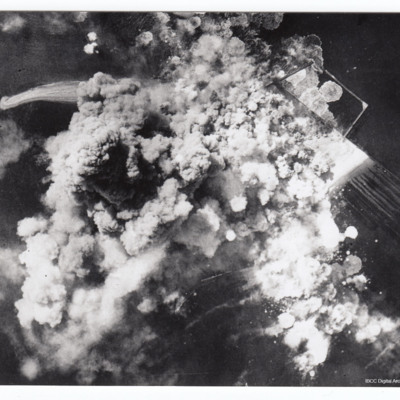
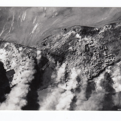
Target photograph of Helgoland. Explosions cover almost the whole frame, with some port facilities visible top right.

PLarmerLO15010009.jpg
Reconnaissance photograph of Heligoland after bombing, with most buildings and port facilities destroyed and large plumes of smoke from fires.

Additional information about these items was kindly provided by the donor.

CBrittainJT-170725-010002.jpg
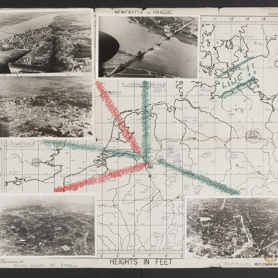
Map (Newcastle to Prague) with five photographs overlaid with lines leading to their locations on map. Top left - a town with destroyed buildings below a wide river with a bridge. Aircraft port outer engine and wingtip visible. Captioned 'Emmerich'.…

MMcClementsR1796607-151021-030005.jpg
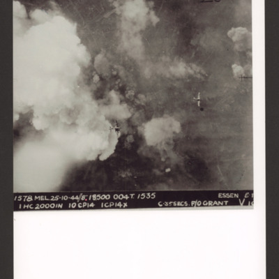
Target photograph of Essen partly obscured by clouds and explosions. Streets and buildings are partly visible. There are two Halifaxes flying at a lower level. It is annotated 'Essen 25 Oct'. Captioned '1578 MEL. 25-10-44//8” 18500 004T. 1535ESSEN…

PBrittainJT1735.jpg
Oblique aerial photograph of a runway In the distance running from lower left to middle of the image, surrounded by fields with a village in the centre. On the reverse 'Dyce airfield near Aberdeen, from low flying Lancaster'.

PJacksonR15010001.jpg
Oblique aerial photograph of Heacham surrounded by fields and with woods in the distance.

PJacksonR15010002.jpg
Oblique aerial photograph Flitcham. There is a country house with formal garden and estate in the top right quadrant with lake below and village in the bottom left quadrant. A road runs from bottom left to top centre.

PJacksonR15010003.jpg
Oblique aerial photograph of Heacham with houses along roads. In the background open fields and woods.
Output Formats

atom, dc-rdf, dcmes-xml, json, omeka-xml, rss2