Browse Items (240 total)

  • Spatial Coverage is exactly "France--le Havre"

LPickfordL551653v2.pdf
L Pickford’s Observer’s Flying Log Book covering the period from 17 October 1938 to 17 May 1947, detailing his flying training and operations flown as Wireless Operator/ Air Gunner. He was stationed at RAF Bassingbourn (104 Squadron), RAF West…

MCheshireGL72021-181210-020012.jpg
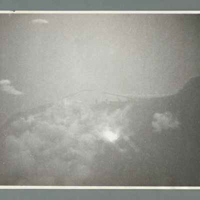
Target photograph showing sea to the left and a point of land left centre with harbour to the right. There are a large number of bomb explosions in the harbour area top right. On the reverse 'Ops 162, cam 1, neg 9, daylight/night attack of Harbour -…

MCheshireGL72021-181210-020014.jpg
Target photograph showing coastline runs from left to right with harbour behind breakwaters in the centre. On the reverse '162, cam 1, neg 19, daylight/night attack on harbour Le Havre, date 14.6.44, squadron 463, 617, pilot F/O Schultz, a/c…

PBanksP15010108.jpg
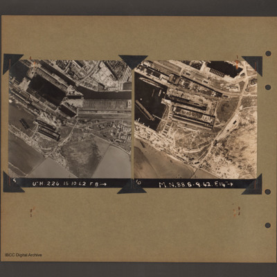
On the left an aerial vertical photograph of docks. A waterway runs from top left downward before turning horizontal across to the right. At the bend there is a narrow channel leading to a basin to the left. Below this is a further basin with a barge…

PToombsSE15100016.jpg
Vertical aerial photograph of Le Havre showing end of breakwater around dock area. Numerous bomb craters visible throughout together with damaged or destroyed dockside buildings. Warship in dock lower right. Rectangular structure to top left of…

PFordTA17040005.jpg
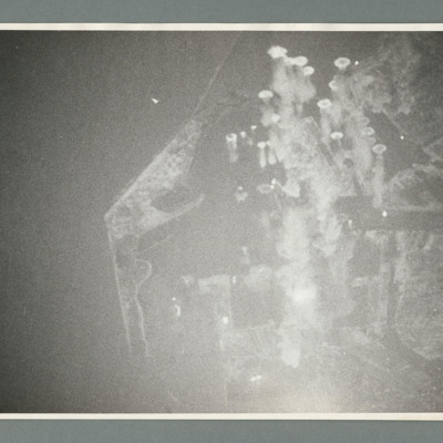
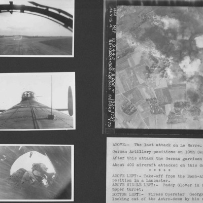
Four photographs from an album.
Photo 1 is a view during take off from the bomb aimer's station.
Photo 2 is air gunner Paddy Glover in his mid-upper turret.
Photo 3 is wireless operator George Tredinnick looking out of the astro-dome.
Photo 4 is…

PBanksP15010098.jpg
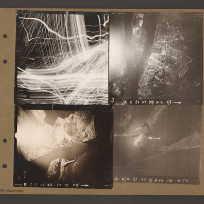
Top left aerial vertical photograph completely filled with anti-aircraft tracer trails.

Top right an aerial vertical photograph of a canal junction. A canal runs from bottom left to a junction and then up to the top. At the junction a branch…

This page is an entry point for a place. Please use the links below to see all relevant documents available in the Archive.

PHouriganM18030148.jpg
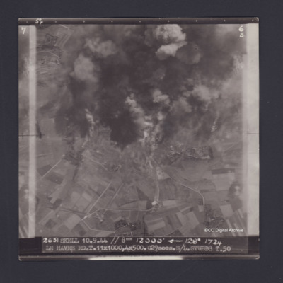
Target photograph of Le Havre. Partially obscured by smoke and dust, rural area,roads clearly visible. Captioned '5°F', '6B', '2631 SKELL 10.9.44 // 8"" 12000' [arrow] 128° 1724 LE HAVRE RD T.11X1000,4X500.C29secs.S/L STUBBS T.50'. On the reverse…

PDavyFR1909.jpg
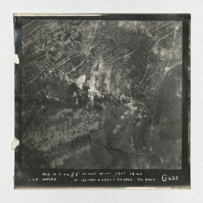
A vertical aerial photograph taken during an operation at Le Havre, centered on the Aplemont district, near the Forêt de Montgeon. The central area has explosions and smoke and many bomb craters are visible.
It is captioned 'KLS 10.0.44//8"…

PDavyFR1912.jpg
Target photograph of Le Havre taken during an operation. The right side is obscured by smoke. The left and top are clear and show the harbour, docks and breakwater. One vessel can be seen at an angle within the dock, bottom centre, but otherwise no…

NWeedenRC170409-030004.jpg
Article includes target photograph of dock area with smoke and explanatory text - Round the area of the Bassin du Commerce at Le Havre, explains level of damage assessed.

PHouriganM18020005.jpg
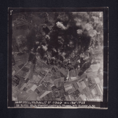
Target photograph of Le Havre. Rural area, centre of photograph obscured by smoke and dust, craters and one dropping bomb visible. Captioned '5° F', '5B', '2625 SKELL. 10.9.44. // 8" 11000' [arrow] 130° 1723, LE HAVRE RD. D. 11x1000. 4x500. …

PHouriganM18020019.jpg
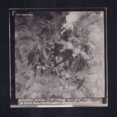
Target photograph of Le Havre. Rural area, centre of photograph obscured by smoke and dust, craters visible. Captioned '5°F', '5B', '2652 SKELL 10.9.44 // 8" 11500' [arrow] 122° 1722 LE HAVRE RD. L. 11X1000. 4X500. C29secs. F/S McEACHEARN. L.…

PCheshireGL18050001.jpg
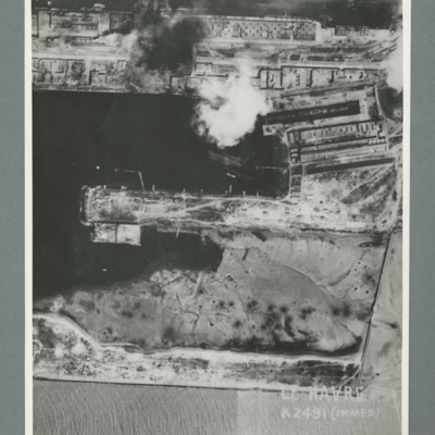
Reconnaissance photograph showing a damaged port area with a basin orientated left right with a pier in the centre. Caption 'Le Havre K2491(IMMED)'. On the reverse 'Date 11.7.44, Unit WS, Neg No. G103, 51:53'. Dock area has been heavily bombed, with…

PCheshireGL18050003.jpg
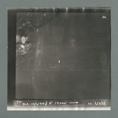
Target photograph showing land top left with bomb explosions on left edge just above centre. Caption '731, KLS, 14.6.44, 8", 19500, U, U625, Attack on Le Havre taken by Lancaster U of 625 squadron. Attack marked by Leonard Cheshire. On the reverse…

PCheshireGL18050005.jpg
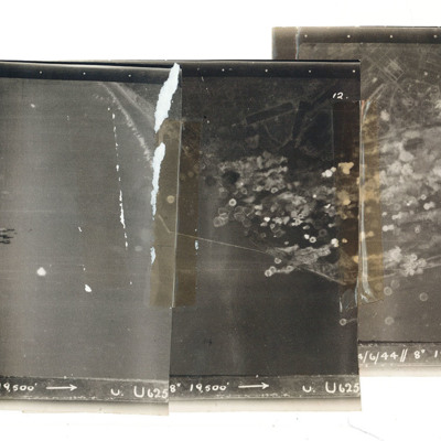
A mosaic of three target photographs of attack on Le Havre. Shows sea and cluster of bombs in the centre of left photograph and port area in the centre and right photograph. Caption '723, KLS, 14/6/44, 8", 1`9500, U. U625' Taken by Lancaster U of…

PFordTA17030001.jpg
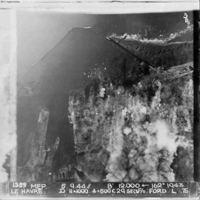
A vertical aerial photograph of Le Havre during bombing operations. The land is mainly obscured by explosions but breakwaters and docks are visible. Digue Augustin Normand is shown at the top of the image, with Bassin de la Manche and Le Havre port…

PToombsSE15100013.jpg
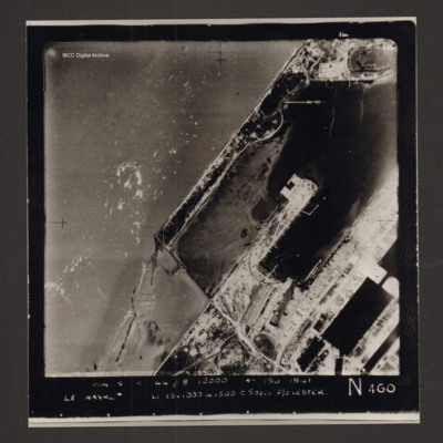
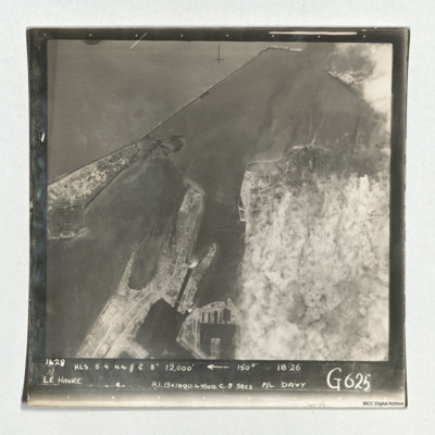
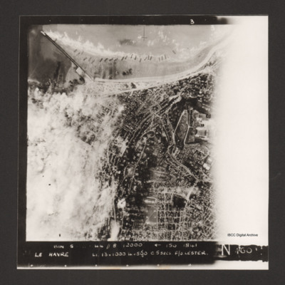
Vertical aerial photograph of Le Havre. The left side of the image (the port area) is obscured by bomb explosions. Several ships are aground on the beach. Captioned 'BIN 5-8-44 //8 12000' [arrow] 150 1841 Le Havre Li 13x1000 4x500 c5secs F/O Lester N…

PToombsSE15100014.jpg
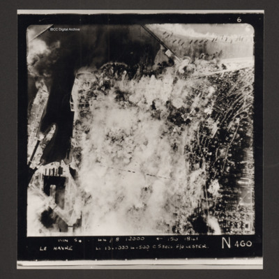
Vertical aerial photograph of Le Havre. Much of the centre of the photograph is obscured by explosions and smoke.
Captioned 'Captioned 'BIN 5-8-44 //8 12000' [arrow] 150 1841 Le Havre Li 13x1000 4x500 c5secs F/O Lester N 460'.

PToombsSE15100015.jpg
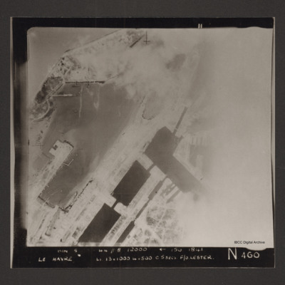
Vertical aerial photograph of the dock area at Le Havre. The right side of the image is obscured by cloud or smoke. Captioned 'BIN 5-8-44 //8 12000' [arrow] 150 1841 Le Havre Li 13x1000 4x500 c5secs F/O Lester N 460'.
SWeirG19660703v110004-0004.jpg
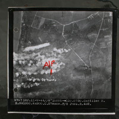
Target photograph showing coastline to top left and rural area behind with several villages and connecting roads. Annotated with "A/P" aiming point in red ink. Obscured by target markers and smoke. Captioned '3B 2347 DRF.11-9.44//8" 10000 >110.0750.…

MCheshireGL72021-181210-020016.jpg
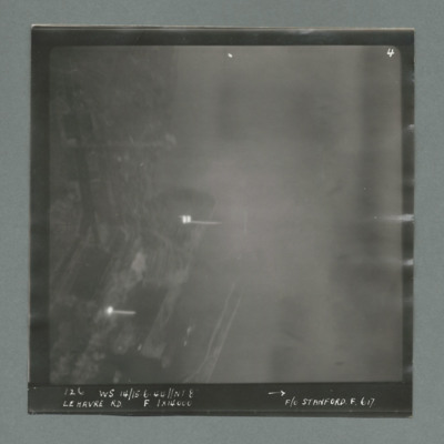
Target photograph showing harbour area on the left side with two bright marks centre and bottom left. Caption '126, WS 14/15.6.44, NT 8, Le Havre RD, F, 1 x 14000, F/O Stanford, F, 617'. On the reverse '1700, from Pens'.

MCheshireGL72021-181210-020018.jpg
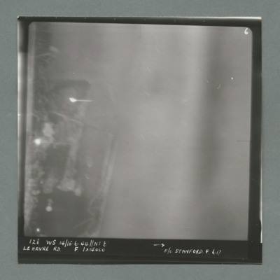
Target photograph showing harbour area on the left with bright spots top left quadrant and centre left. Caption '128, WS 14/15.6.44, NT 82, Le Havre RD, F, 1 x 14000, F/O Stanford, F, 617'. On the reverse '51:93/9'.
Output Formats

atom, dc-rdf, dcmes-xml, json, omeka-xml, rss2