Browse Items (167 total)
- Tags: reconnaissance photograph
Sort by:
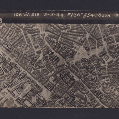
Munich
Reconnaissance photograph of Munich. Some buildings have been marked and annotated with numbers. The Frauenkirche is visible in the bottom right corner. Captioned '3139 106 W.218 3-5-44 F/36” // 540SQDN→ '.
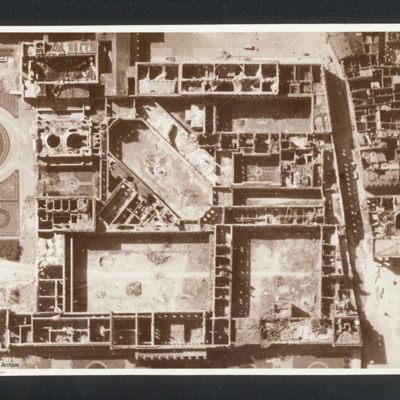
Munich Residenz
Reconnaissance photograph showing the Munich Residenz gutted. Captioned between pages 66-67 of 1956 Memoir '[underlined] Munich [/underlined] after 5 Group of Bomber Command raid 24th April 1944 [written vertically down left hand side of page]'. On…
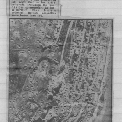
Newspaper cutting - Le Havre forts were here
Reconnaissance photograph showing cratered landscape with caption explaining that this was part of fortress area of Le Havre after the RAF's 5,000 ton daylight attack.
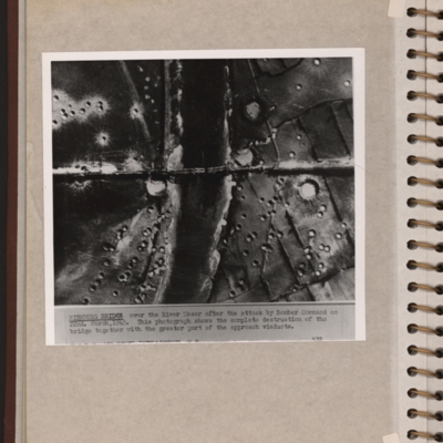
Nienburg Bridge after attack by 617 Sqn with Tallboys and Grand Slams
Reconnaissance photograph showing a river running top to bottom and a bridge crossing in the middle with several spans down. There are many craters on both sides of the river. Explanatory note 'NIENBURG BRIDGE over the river Weser after the attack by…
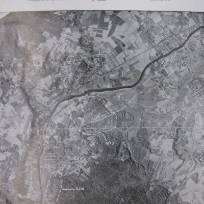
Noball Targets
A vertical aerial photograph identifying two Noball targets at Bois de Cassan and Foret de l'Isle Adam,
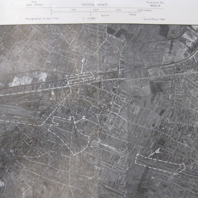
Noisy-le-Sec
A vertical aerial photograph of Noisy-le-Sec, Paris. Five targets are marked.
Nos Aviations
Victoires de la RAF en 1943
Air Marshal Sir Richard Peck describes large composition and successes of RAF during 1943 whilst underlining the threat still posed by Germany.
Les machines
Maintains Anglo-American aircraft production is four times…
Air Marshal Sir Richard Peck describes large composition and successes of RAF during 1943 whilst underlining the threat still posed by Germany.
Les machines
Maintains Anglo-American aircraft production is four times…
Tags: aerial photograph; aircrew; B-17; B-24; B-25; B-26; Beaufighter; Bennett, Donald Clifford Tyndall (1910-1986); bombing; Boston; Churchill, Winston (1874-1965); Eder Möhne and Sorpe operation (16–17 May 1943); Gibson, Guy Penrose (1918-1944); Halifax; Hudson; Lancaster; Mosquito; P-51; Pathfinders; pilot; propaganda; reconnaissance photograph; Spitfire; Stirling; Sunderland; target indicator; training; Typhoon; York
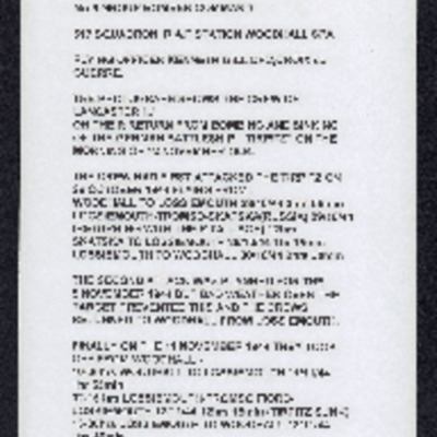
Operations against Tirpitz, Ijmuiden and Bielefeld: Vielesible Viaduct
Description of three (one aborted due to weather) operations against Tirpitz, photograph of crew on return from sinking Tirpitz, poor photocopy of target photograph of attach on Tirpitz. Account of operation on E & R boat pens at Ijmuiden along with…
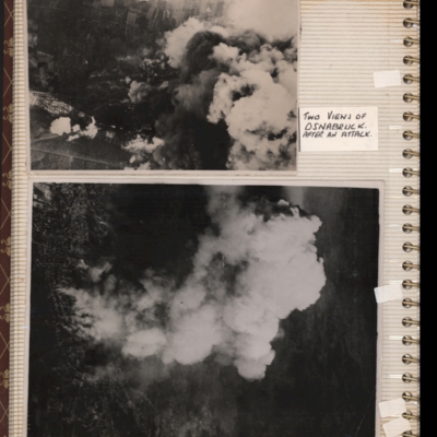
Osnabrück
Top - target photograph showing smoke from bomb explosions, small area of buildings visible bottom left corner. Submitted with description 'Aerial photo of Osnabruck after a bombing attack, showing smoke. Ministry No. C5130'.
Bottom - target…
Bottom - target…
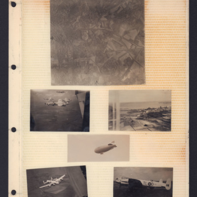
Places, Good Will tour Lancasters and airship
Top - reconnaissance photograph of town on left with roads and open countryside on right.
Middle left - Air-to-air view of formation of four Lancasters in light paint scheme over open countryside. The tail plane of aircraft from which photo…
Middle left - Air-to-air view of formation of four Lancasters in light paint scheme over open countryside. The tail plane of aircraft from which photo…
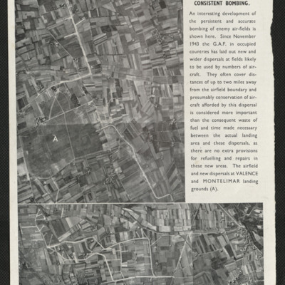
Press cutting, increased dispersal of enemy aircraft
Captioned 'Increased dispersal due to consistent bombing'. Two photographs, of Valence and Montelimar show satellite airfields to enable wider dispersal of German Air Force aircraft due to the airfield bombing policy.
RAF attack on Salbris explosive works and depot
Aerial vertical photograph of two long rows of destroyed buildings around a central space with two destroyed individual buildings and a damaged roadway system. The area is surrounded by fields but at the left hand side of the photograph two main…
RAF attack on Salbris explosive works and depot
Vertical aerial photograph of an area of industrial buildings with a network of roads throughout and a main railway station on the left, where marshalling yards and train tracks are clearly visible. Many buildings of varying size and a wall is going…
RAF Skellingthorpe
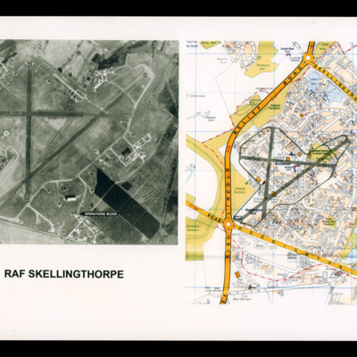
On the left a reconnaissance photograph of RAF Skellingthorpe marked with runway directions and operations blocked indicated by an arrow. On the right a colour map of the Birchwood section of Lincoln with airfield boundary and runways drawn over.
Rambouillet
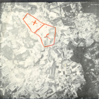
Reconnaissance photograph taken at high altitude showing fields and woods with Rambouillet and the Jardin Anglais in the top right-hand corner. The settlements of Gazeran, Saint-Hilarion, Orcemont and Orphin are also visible. Two areas are outlined…
Ramsey
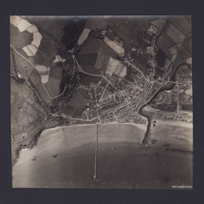
Vertical aerial photograph of Ramsey, Isle of Man. Queen’s Pier is in centre of photograph, with Sulby River and Ramsey Harbour to the right. On the reverse is handwritten 'B/A Allen Nav Beyak 15/5/43'.
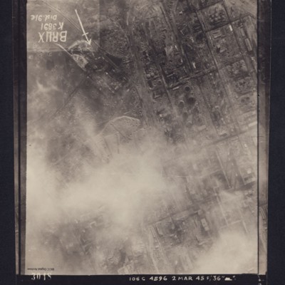
Reconnaissance photograph, post bombing, of Brux industrial plant, Czechoslavakia
Reconnaissance photograph of heavily industrialised area. Approximately one third of the area is obscured by cloud. There is considerable cratering across the area, and extensive damage to the industrial buildings and railway is visible. Caption in…
Reconnaissance photographs
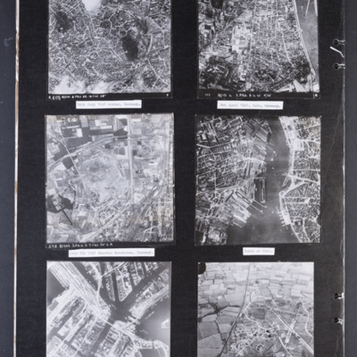
Photograph 1 is a vertical aerial photograph of the city of Aachen. There are numbered and arrowed points of interest on the image plus a north arrow. It is annotated 'R405 B/218.3.PRU 22.14.7.41 28" ' Captioned '14th July 1941 Archen [sic],…
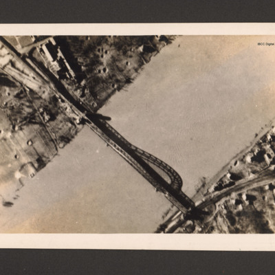
Remagen bridge
Reconnaissance photograph of bridge. A river runs bottom left to top right and a metal arch bridge from top left to bottom right. There are a few buildings in the top left along with bomb craters. Ther are a few buildings and a railway line at the…
Romorantin-Pruniers aerodrome
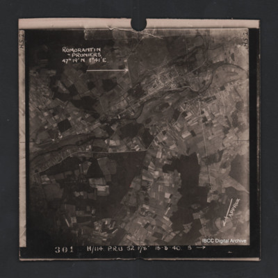
Vertical aerial photograph of Romorantin-Pruniers aerodrome, identified with text ‘Romorantin-Pruniers 46° 19’N 1°41E’. The remainder of the photograph is rural with small villages except for the airfield area which has many buildings. An…
Rostock
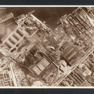
Reconnaissance photograph showing at top a port area (Naptun Shipbuilding Yards) with several ships docked. Water at top and built up area of port and industrial buildings below. Some fires visible. Captioned between pages 22-23 of 1956 Memoir…
Rotterdam and Zeebrugge
On the left an aerial vertical photograph showing a city with a river running through from left to right with port facilities on both sides. On the far side of the river towards the left is a small indented water basin with a few ships moored.…
Royal Air Force Bomber Command attacks on enemy communications
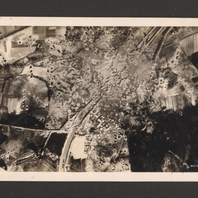
Reconnaissance photograph showing the Mitelland Canal at Gravenhorst running from top right to centre bottom. A large area in the centre is completely covered with craters and the canal has disappeared. To the right bottom a large wooded area and to…
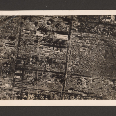
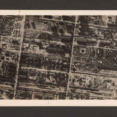
Royal Air Force destroys German synthetic oil plant
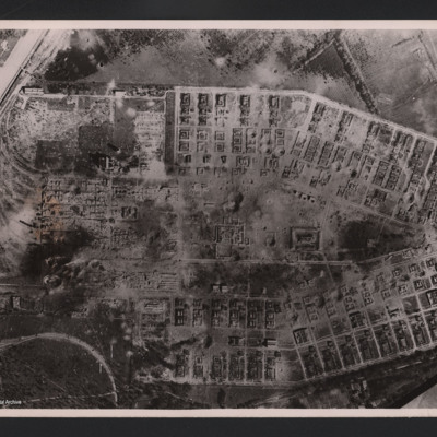
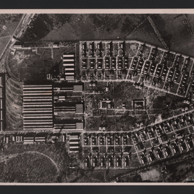
Reconnaissance photograph of the destroyed Zeitz synthetic oil plant, Saxony-Anhalt, Germany. On the left side within a grid a large number of damaged oil tanks, manufacturing buildings and installations. On the right three destroyed oil tanks at…
Royal Air Force destroys German synthetic oil plant
Reconnaissance photograph of a German synthetic oil plant. Within a grid pattern a large number of oil tanks, buildings, pipeline and oil manufacturing installations. A railway runs along the bottom. On the reverse 'R.A.F. destroys German synthetic…

![MRobertsEJH[See#-DoB]-170712-02.pdf MRobertsEJH[See#-DoB]-170712-02.pdf](https://ibccdigitalarchive.lincoln.ac.uk/omeka/files/square_thumbnails/1901/35228/MRobertsEJH[See -DoB]-170712-02.jpg)
