Browse Items (240 total)

  • Spatial Coverage is exactly "France--Le Havre"

YRosserLV745193v1.pdf
Written in RAF pilot's flying log book by Sergeant, pilot Rosser, Lewis Victor, RAFVR - diary of night bombing operations. Gives date, aircraft, crew, target and description of each operation. Also included are extracts from the Bomber Command war…

LRosserLV745193v1.pdf
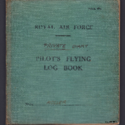
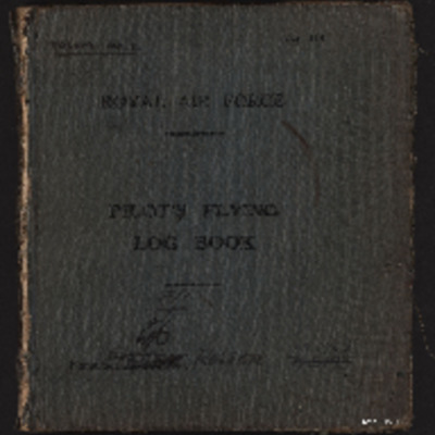
Pilots flying log book one for L V Rosser, covering the period from 4 March 1939 to 19 July 1943. Detailing his flying training, operations flown and instructor duties. He was stationed at RAF Kidlington, RAF Woodley, RAF Grantham, RAF Kinloss, RAF…

PJonesPW1606.jpg
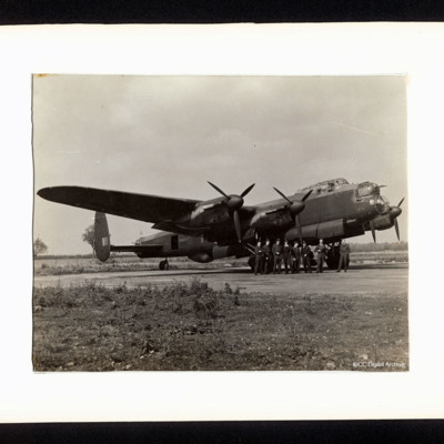
A starboard side view of a Lancaster, PA964, on the ground. There are eight aircrew standing at the nose. On the reverse is a list of the aircrew including Tom Jones and a list of his operations.

MCurtisA1579599-161130-02.pdf
A memoir of an operation involving Len Curtis and his crew members. During the operation his aircraft was shot down and Len was captured. However, he was liberated by American soldiers and returned to London six weeks later.

This item was sent to…

PHouriganM18030148.jpg
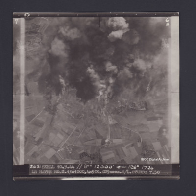
Target photograph of Le Havre. Partially obscured by smoke and dust, rural area,roads clearly visible. Captioned '5°F', '6B', '2631 SKELL 10.9.44 // 8"" 12000' [arrow] 128° 1724 LE HAVRE RD T.11X1000,4X500.C29secs.S/L STUBBS T.50'. On the reverse…

PDavyFR1909.jpg
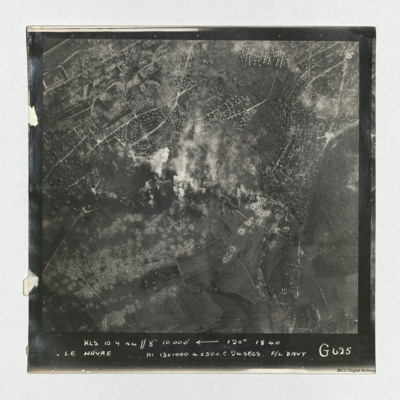
A vertical aerial photograph taken during an operation at Le Havre, centered on the Aplemont district, near the Forêt de Montgeon. The central area has explosions and smoke and many bomb craters are visible.
It is captioned 'KLS 10.0.44//8"…

PDavyFR1912.jpg
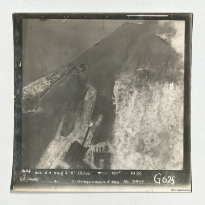
Target photograph of Le Havre taken during an operation. The right side is obscured by smoke. The left and top are clear and show the harbour, docks and breakwater. One vessel can be seen at an angle within the dock, bottom centre, but otherwise no…

NWeedenRC170409-030004.jpg
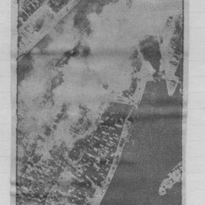
Article includes target photograph of dock area with smoke and explanatory text - Round the area of the Bassin du Commerce at Le Havre, explains level of damage assessed.

PHouriganM18020005.jpg
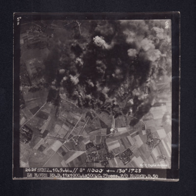
Target photograph of Le Havre. Rural area, centre of photograph obscured by smoke and dust, craters and one dropping bomb visible. Captioned '5° F', '5B', '2625 SKELL. 10.9.44. // 8" 11000' [arrow] 130° 1723, LE HAVRE RD. D. 11x1000. 4x500. …

PHouriganM18020019.jpg
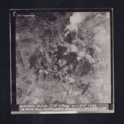
Target photograph of Le Havre. Rural area, centre of photograph obscured by smoke and dust, craters visible. Captioned '5°F', '5B', '2652 SKELL 10.9.44 // 8" 11500' [arrow] 122° 1722 LE HAVRE RD. L. 11X1000. 4X500. C29secs. F/S McEACHEARN. L.…

PCheshireGL18050001.jpg
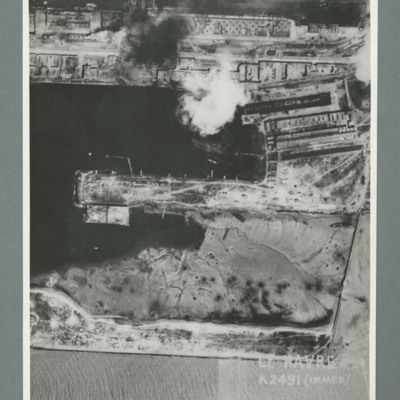
Reconnaissance photograph showing a damaged port area with a basin orientated left right with a pier in the centre. Caption 'Le Havre K2491(IMMED)'. On the reverse 'Date 11.7.44, Unit WS, Neg No. G103, 51:53'. Dock area has been heavily bombed, with…

PCheshireGL18050003.jpg
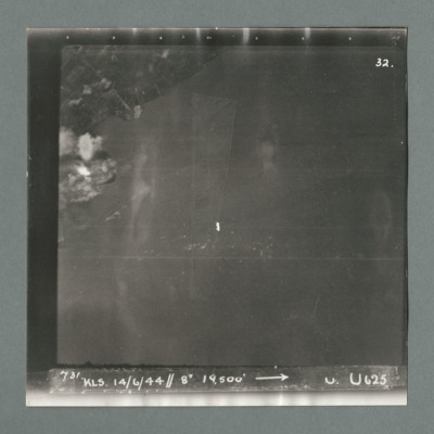
Target photograph showing land top left with bomb explosions on left edge just above centre. Caption '731, KLS, 14.6.44, 8", 19500, U, U625, Attack on Le Havre taken by Lancaster U of 625 squadron. Attack marked by Leonard Cheshire. On the reverse…

PCheshireGL18050005.jpg
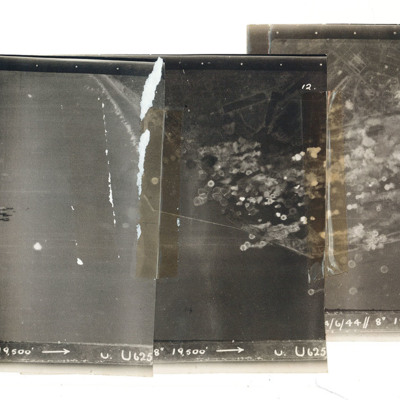
A mosaic of three target photographs of attack on Le Havre. Shows sea and cluster of bombs in the centre of left photograph and port area in the centre and right photograph. Caption '723, KLS, 14/6/44, 8", 1`9500, U. U625' Taken by Lancaster U of…

PFordTA17030001.jpg
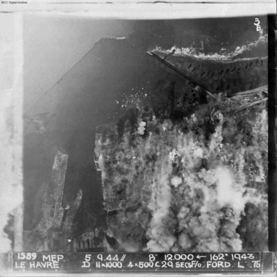
A vertical aerial photograph of Le Havre during bombing operations. The land is mainly obscured by explosions but breakwaters and docks are visible. Digue Augustin Normand is shown at the top of the image, with Bassin de la Manche and Le Havre port…

PToombsSE15100013.jpg
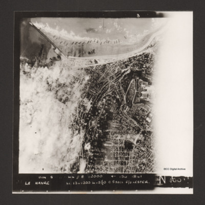
Vertical aerial photograph of Le Havre. The left side of the image (the port area) is obscured by bomb explosions. Several ships are aground on the beach. Captioned 'BIN 5-8-44 //8 12000' [arrow] 150 1841 Le Havre Li 13x1000 4x500 c5secs F/O Lester N…

PToombsSE15100014.jpg
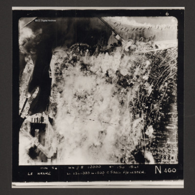
Vertical aerial photograph of Le Havre. Much of the centre of the photograph is obscured by explosions and smoke.
Captioned 'Captioned 'BIN 5-8-44 //8 12000' [arrow] 150 1841 Le Havre Li 13x1000 4x500 c5secs F/O Lester N 460'.

PToombsSE15100015.jpg
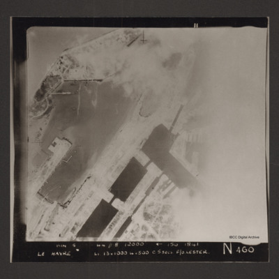
Vertical aerial photograph of the dock area at Le Havre. The right side of the image is obscured by cloud or smoke. Captioned 'BIN 5-8-44 //8 12000' [arrow] 150 1841 Le Havre Li 13x1000 4x500 c5secs F/O Lester N 460'.
SWeirG19660703v110004-0004.jpg
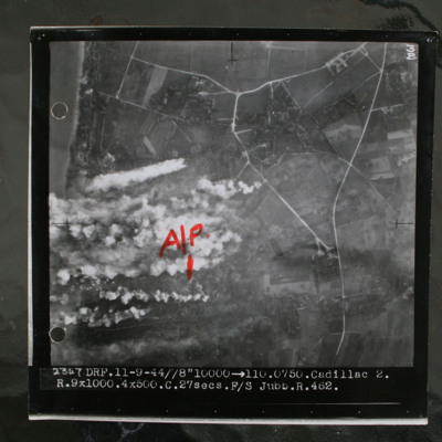
Target photograph showing coastline to top left and rural area behind with several villages and connecting roads. Annotated with "A/P" aiming point in red ink. Obscured by target markers and smoke. Captioned '3B 2347 DRF.11-9.44//8" 10000 >110.0750.…

MCheshireGL72021-181210-020016.jpg
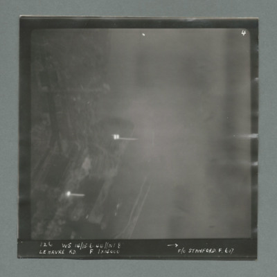
Target photograph showing harbour area on the left side with two bright marks centre and bottom left. Caption '126, WS 14/15.6.44, NT 8, Le Havre RD, F, 1 x 14000, F/O Stanford, F, 617'. On the reverse '1700, from Pens'.

MCheshireGL72021-181210-020018.jpg
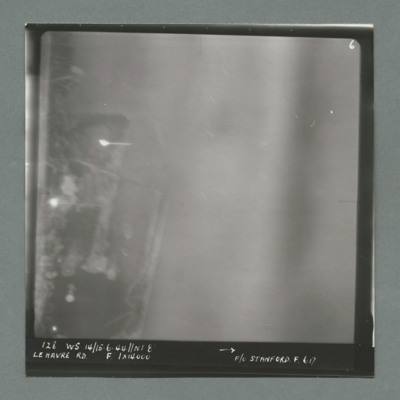
Target photograph showing harbour area on the left with bright spots top left quadrant and centre left. Caption '128, WS 14/15.6.44, NT 82, Le Havre RD, F, 1 x 14000, F/O Stanford, F, 617'. On the reverse '51:93/9'.

MCheshireGL72021-181210-020020.jpg
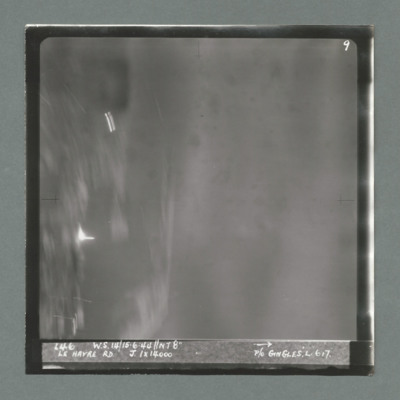
Target photograph showing harbour area on the left with bright spots top left quadrant and just below centre left. Caption '146, WS 14/15.6.44, NT8", Le Havre RD, J, 1 x 14000, P/O Gingles, L, 617'. On the reverse 53:93/10'.

MCheshireGL72021-181210-020022.jpg
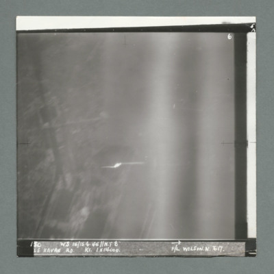
Target photograph showing built up area on the left and harbour area on the right. Bright spot centre one third way up. Caption '130, WS 14/15.6.44, NT 82, Le Havre RD, K1, 1 x 14000, F/L Wilson N, 617'. On the reverse 53:93/11'.

MCheshireGL72021-181210-020024.jpg
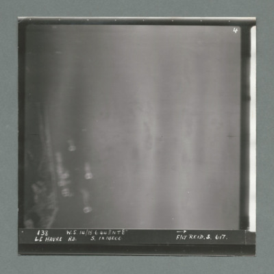
Target photograph showing coastline on the left. Caption '138, W.S 14/15.6.44, Le Havre RD, S, 1 x 14000, F/Lt Reid, S, 617'. On the reverse '53:93/12 Photo 159'.

MCheshireGL72021-181210-020026.jpg
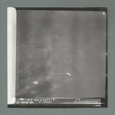
Target photograph showing bright spots bottom left and bottom centre. Caption '172, W.s. 14/15.6.44, NT 8", Le Havre, T, 1 x 14000, F/O Willsher, T, 617'. On the reverse '51:93/13'

MCheshireGL72021-181210-020028.jpg
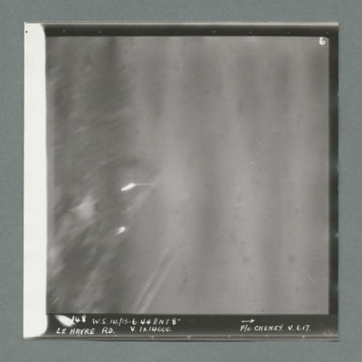
Target photograph showing two bright spots on left side. Caption '148, ,W.S. 14/15.6.44, NT 8", Le Havre RD, V, 1 x 14000, F/O Cheney, V, 617'. On the reverse '51/93/14'.
Output Formats

atom, dc-rdf, dcmes-xml, json, omeka-xml, rss2