Browse Items (1442 total)
- Tags: aerial photograph
Sort by:
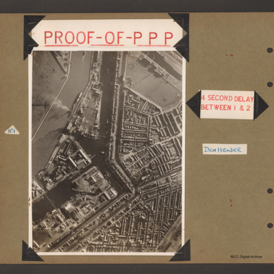
Proof of PPP
First page has aerial vertical photograph of canal and dock basin with town to the right hand side. A river runs down the left side with two ships moored on the right side. A further barge is in midstream at the tip. A canal runs from top to middle…
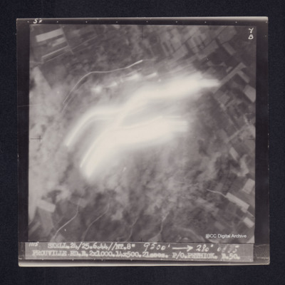
Prouville
Target photograph of Prouville. Photograph partially obscured by smoke and light streaks. Captioned '5F', '7B', '1115 SKELL.24/25.6.44//NT.8" 9500' [arrow] 280° 0035 PROUVILLE.RD.B.2X1000.14X500.21secs. P/O PETHICK.B.50.
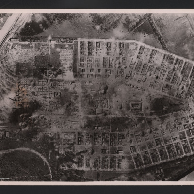
RAF attack on Salbris explosive works and depot
Aerial vertical photograph of two long rows of destroyed buildings around a central space with two destroyed individual buildings and a damaged roadway system. The area is surrounded by fields but at the left hand side of the photograph two main…
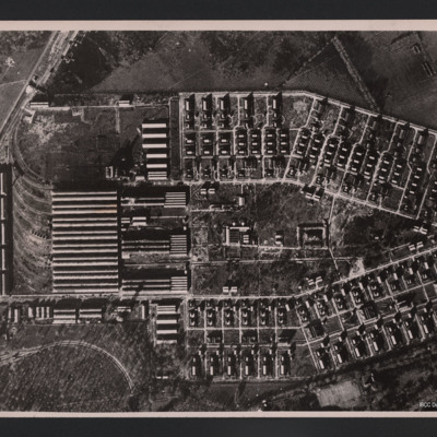
RAF attack on Salbris explosive works and depot
Vertical aerial photograph of an area of industrial buildings with a network of roads throughout and a main railway station on the left, where marshalling yards and train tracks are clearly visible. Many buildings of varying size and a wall is going…
RAF Breighton
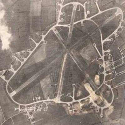
Reconnaissance photograph of an airfield with three runways, perimeter track, dispersals and buildings. Submitted with caption 'Aerial view of wartime RAF Breighton'.
This item was sent to the IBCC Digital Archive already in digital form. No…
This item was sent to the IBCC Digital Archive already in digital form. No…
RAF Bruntingthorpe
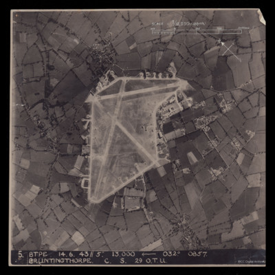
A vertical aerial photograph of Bruntingthorpe. An approximate scale and a north arrow has been annotated on the image. Also at the bottom is ' 5 BTPE 14.6.43//5" 13,000
RAF Coningsby
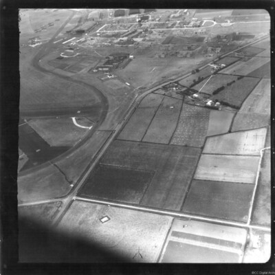
An oblique aerial photograph of RAF Coningsby. On the left identifiers '22' and '26' are visible on tarmac runways. At the top are five hangars and seven camouflaged aircraft parked outside.
Identification kindly provided by David Parker of the…
Identification kindly provided by David Parker of the…
RAF Cranwell and Hawker Harts
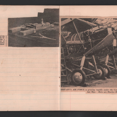
Cutting 1 is an aerial view of RAF Cranwell, the RAF's Officer training college.
Cutting 2 is a photograph of a line of Hawker Harts captioned 'Britain's Air Force is growing rapidly under the Government's two-year expansion programme announced…
Cutting 2 is a photograph of a line of Hawker Harts captioned 'Britain's Air Force is growing rapidly under the Government's two-year expansion programme announced…
Tags: aerial photograph; RAF Cranwell; training
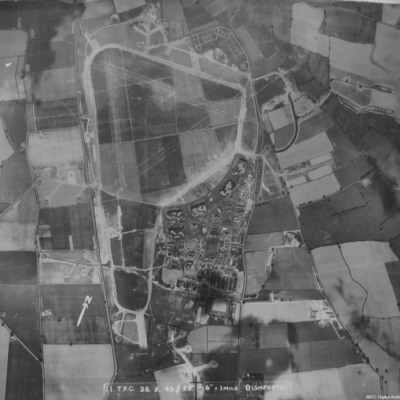
RAF Dishforth
A vertical aerial photograph of Dishforth. Hangars and dispersals can be clearly seen. The central grass area has been camouflaged but the grass runways can be identified. Several aircraft are visible.
It is captioned '11 TPC 28.5.43 //F5" 6"=1 mile…
It is captioned '11 TPC 28.5.43 //F5" 6"=1 mile…
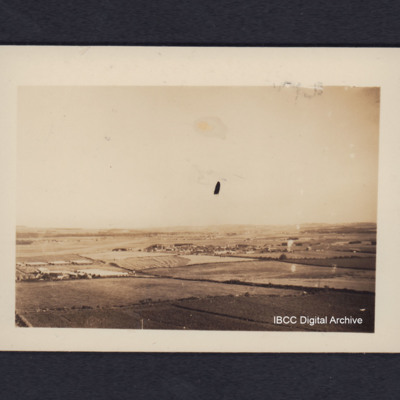
RAF Dyce from the air
Oblique aerial photograph of a runway In the distance running from lower left to middle of the image, surrounded by fields with a village in the centre. On the reverse 'Dyce airfield near Aberdeen, from low flying Lancaster'.
Tags: aerial photograph; Lancaster; RAF Dyce; runway
RAF Feltwell
Aerial vertical photograph of a grass airfield. Pentagonal shaped grass airfield in the centre. Hangars and station buildings in the bottom right corner of airfield. Dispersal at top left and track to off airfield bomb dump on the right of airfield.…
Tags: aerial photograph; bomb dump; dispersal; hangar; RAF Feltwell
RAF Leeming
A copy of a vertical aerial photograph of Leeming with an annotation 'Dispersal for "A-Able" -429'.
RAF Leeming
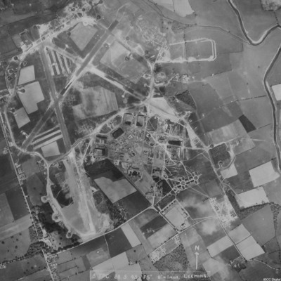
A vertical aerial photograph of Leeming showing the extension to two runways to the south and south east. Halifaxes can be seen on dispersals.
It is annotated '8 TPC 28.5.43// F5" 6" = 1 mile Leeming'.
It is annotated '8 TPC 28.5.43// F5" 6" = 1 mile Leeming'.
RAF Leeming
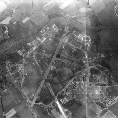
A vertical aerial photograph of Leeming. Camouflage markings can be seen on the airfield.
RAF Mauripur from the air
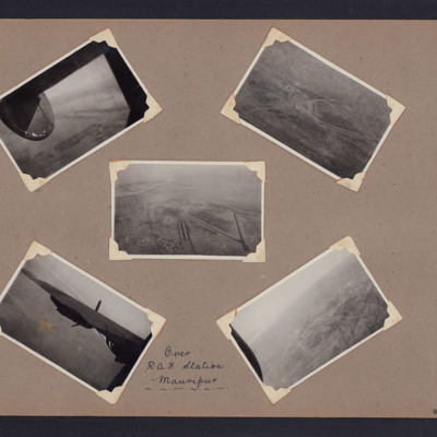
Five photographs from an album. Photo 1 is a view from the B-24 with vague field patterns on the ground. Photo 2, 3 and 5 are the airfield with the runway pattern visible. Photo 4 is looking past the B-24 port wing to the ground. The images are…
Tags: aerial photograph; B-24; Raf Mauripur; runway
RAF Metheringham
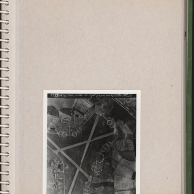
A reconnaissance photograph of an airfield with three runways and dispersals all round. Camp buildings bottom right. Submitted with description 'Aerial photo of RAF Metheringham. Annotated "3253. CPE/UK 2009. 16 April 47. F/20" // 16/400 Multi (4)…
RAF Skellingthorpe
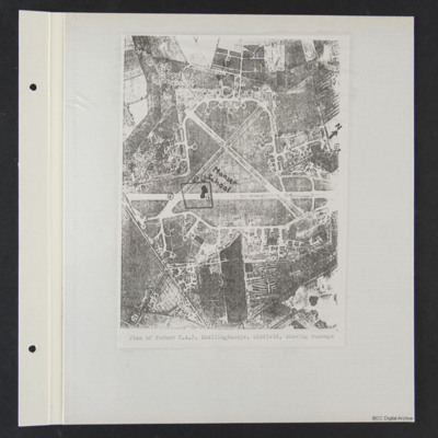
A vertical aerial photograph of the airfield with annotated north, numbers 1 to 13, Manser School and a rough square. It is captioned 'Plan of former RAF Skellingthorpe airfield, showing runways'.
RAF Skellingthorpe
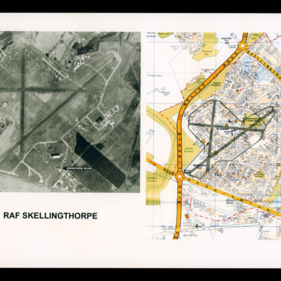
On the left a reconnaissance photograph of RAF Skellingthorpe marked with runway directions and operations blocked indicated by an arrow. On the right a colour map of the Birchwood section of Lincoln with airfield boundary and runways drawn over.
RAF Skellingthorpe
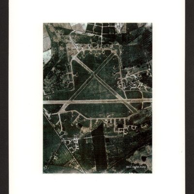
Vertical aerial photograph of RAF Skellingthorpe. Aircraft are visible on the dispersals.
RAF Snaith and 51 Squadron Group
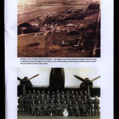
Two photographs from an album.
#1 is an oblique aerial photograph of Snaith taken during the war.
#2 is a group of men arranged in three rows in front of a Halifax. Bob's position is indicated in the caption.
#1 is an oblique aerial photograph of Snaith taken during the war.
#2 is a group of men arranged in three rows in front of a Halifax. Bob's position is indicated in the caption.
Tags: 51 Squadron; aerial photograph; aircrew; Halifax; RAF Snaith
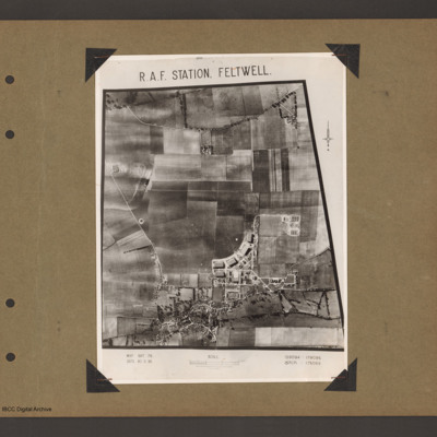
RAF Station Feltwell
An aerial vertical photograph of a grass airfield. Airfield is in the centre. A curved line of four hangars are at the bottom of the grass on the right. There is another hangar underneath the left hand of the line and station building are in the…
Tags: aerial photograph; bomb dump; hangar; RAF Feltwell
RAF Stradishall
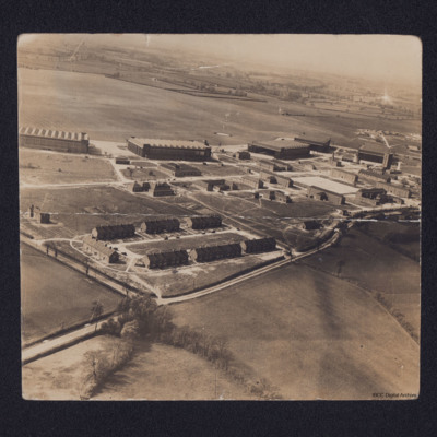
Oblique aerial photograph of a Royal Air Force station and airfield with quarters centre bottom, hangars across the centre with station buildings in front. Beyond is grass airfield. On the reverse a key to locations on the airfield including 'John's…
RAF Tholthorpe
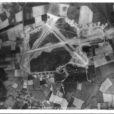
Three vertical aerial photographs of the airfield at Tholthorpe. The first is annotated 'Photo taken 28/5/43 before the photo on the wall in the Pub'. It is also captioned '14 TPC 28.5.43 //F 5" 6"- 1 mile Tholthorpe'.
RAF Tholthorpe
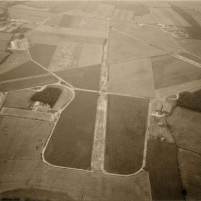
An oblique aerial photograph of RAF Tholthorpe (disused) taken in the 1970s.
RAF Tholthorpe
Three aerial photographs of Tholthorpe. Dates were supplied with the collection.
Photo 1 is an oblique taken in the 1970s. Information supplied with the collection states 'The disused Tholthorpe airfield in the 1970s looking towards the west. The…
Photo 1 is an oblique taken in the 1970s. Information supplied with the collection states 'The disused Tholthorpe airfield in the 1970s looking towards the west. The…

