Browse Items (1459 total)

  • Tags: aerial photograph

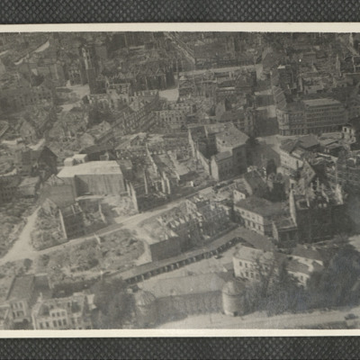
PMartinWF1908.jpg
A low level oblique aerial photograph of Brunswick, identified on the reverse. Martinikirche visible in the middle of the frame.

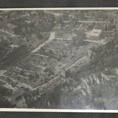
PMartinWF1906.jpg
A low level oblique aerial photograph of Hamburg, annotated on the reverse.

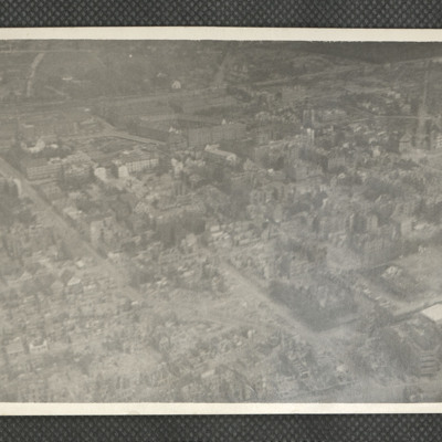
PMartinWF1904.jpg
A low level oblique aerial photograph of Bremerhaven. Railway line and Metzer Straße apartments blocks in the background. Annotated on the reverse: 'Wiesemunde'.

Identification kindly provided by André Jans of the Finding the location WW1 & WW2…

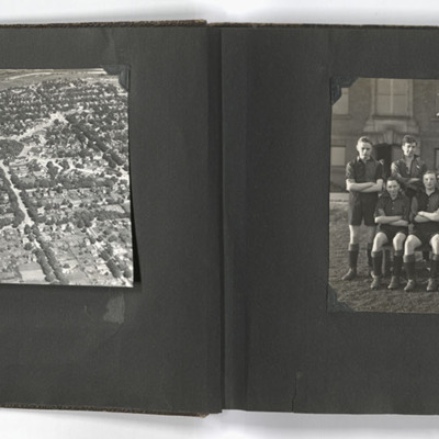
PBraithwaiteW19010003.jpg
The left photograph shows an aerial view of Goderich, Ontario, Canada. The photo is taken facing east from just south of the town centre, towards the Maitland River; the geometric area of trees in the upper centre of the image is Courthouse Square.…

PHuntWR20010001.jpg
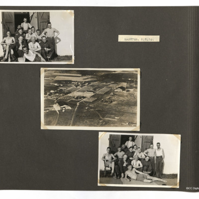
Top left and bottom right photographs both show men outside a building and the centre photo shows various buildings at Manston.

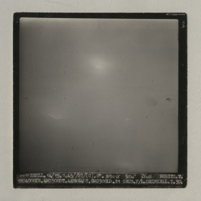
PDrinkellWG22010029.jpg
A vertical aerial photograph taken during an operation at Rositz. No detail is visible on the ground.
It is captioned '4438 Skell. 14/15.2.45//NT/ (C). 8" 8500' 354° 2108 Rositz. T. 1HC4000IN.4MC500DT.4ANM64DT.6MC500LD. 21 secs. F/L.…

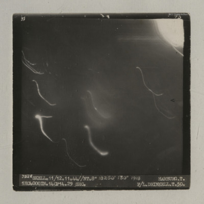
PDrinkellWG22010027.jpg
A vertical aerial photograph of an operation at Harburg. Very little detail is visible on the ground but there are several light flashes.
It is captioned '3528 Skell. 11/12.11.44//NT.8" 18250' 130° 1918 Harburg. T. 1HC4000IN.14CP14. 29 sec. F/L…

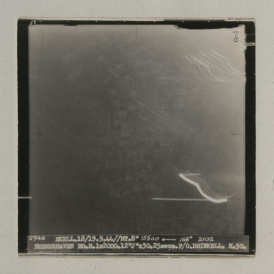
PDrinkellWG22010025.jpg
A vertical aerial photograph taken during an operation at Bremerhaven. Indistinct ground images can be seen. It is captioned '2940 Skell. 18/19.9.44//NT. 8" 15500 <-- 168° 2102 Bremerhaven RD.H.1x2000.12 "J" x30.25 secs. F/O Drinkell. H.50'. On…

PDrinkellWG22010024.jpg
A vertical aerial photograph taken during an operation at Houffalize. No detail is visible on the image due to light and explosions.
It is captioned '4079 Skell 30/31.12.44 // NT (C) 8" 10500' 005° 0503 Houffalize. T. 11ANM 65DT. 4GP 00. 21 secs.…

PDrinkellWG22010022.jpg
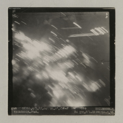
A vertical aerial photograph of Heilbronn taken during an operation. A canal is visible in the centre running op to bottom but most of the image is obscured by light flashes.
It is captioned '3725 Skell. 4/5.12.44//NT. 8". 13800' 146° 1935…

PDrinkellWG22010021.jpg
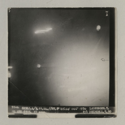
A vertical aerial photograph of an operation at Ladbergen. Most of the image is obscured by light but the canal is visible.
It is captioned '3506 Skell. 4/5.11.44//NT 8" 11500' 066° 1930 Ladnergen [sic] T. 14 ANM 65DN. 22 secs F/O Drinkell. T. 50'.

PDrinkellWG22010019.jpg
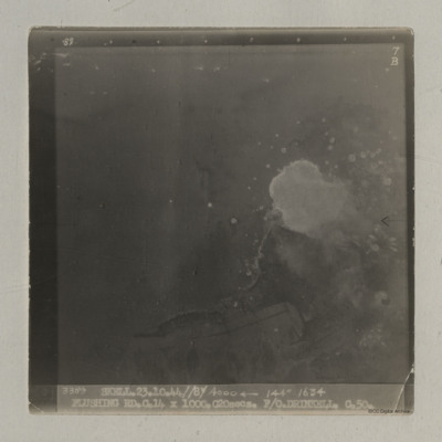
A vertical aerial photograph of Flushing taken during an operation. Bomb bursts can be seen in the centre of the image. The coastline is clearly visible.
It is captioned '3389 Skell 23.10.44//8"/ 4000

PDrinkellWG22010017.jpg
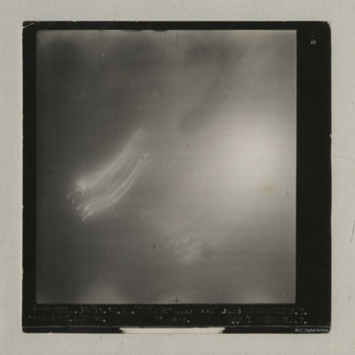
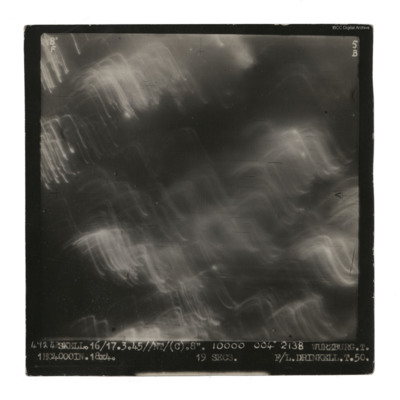
A vertical aerial photograph taken during an operation at Wurzburg. No detail visible on the ground.
It is captioned '4724 Skell. 16/17.3.45//NT/(C). 8". 10000 004° 2138 Wurzburg. T. 1HC4000IN.18x4. 19 secs F/L Drinkell.T.50'.
On the reverse 'F/Lt…

PDrinkellWG22010015.jpg
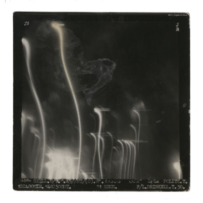
A vertical aerial photograph taken during an operation at Politz. Streaks of light and damage obscure ground detail. It is captioned '4380 Skell. 8/9 2.45//NT/(C) 8" 10000 052° 2122 Politz. T. 1HC 4000IN. 14MC 500DT. 21 secs F/L Drinkell.T.50.' On…

PDrinkellWG22010013.jpg
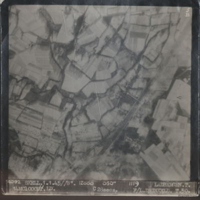
Two sequential vertical aerial photographs of Ladbergen. Both show snow covered fields and the Dortmund-Ems canal. A bomb is visible in the second image.

The first is captioned '4092 Skell.1.1.45//8" 12000 050° 1119 Ladbergen. T. 14MC 1000.LD.…

PDrinkellWG22010011.jpg
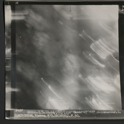
A vertical aerial photograph taken during an operation at Dusseldorf. No ground detail is visible.
It is captioned '3485 Skell 2/3.11.44//NT/(C) 8" 18000' 127° 1927 Dusseldorf. T. 14MC1000DN.30 secs. F/O Drinkell. T. 50.'
On the reverse is…

MDrinkellWG55113-220627-02.jpg
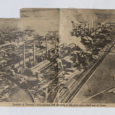
A newspaper cutting with an aerial photograph of the chemical plant at Leuna.

PDavyFR1912.jpg
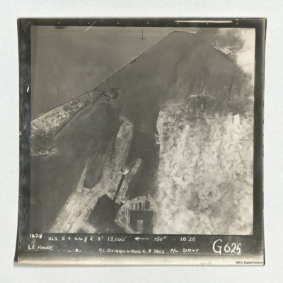
Target photograph of Le Havre taken during an operation. The right side is obscured by smoke. The left and top are clear and show the harbour, docks and breakwater. One vessel can be seen at an angle within the dock, bottom centre, but otherwise no…

PDavyFR1911.jpg
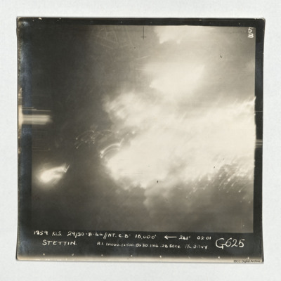
A vertical aerial photograph taken during an operation at Stettin. Much of the image is obscured by light and explosions but there are street patterns visible at the top. It is captioned '1359 KLS 29/30-8-44//NT C. 8" 16,000'

PDavyFR1910.jpg
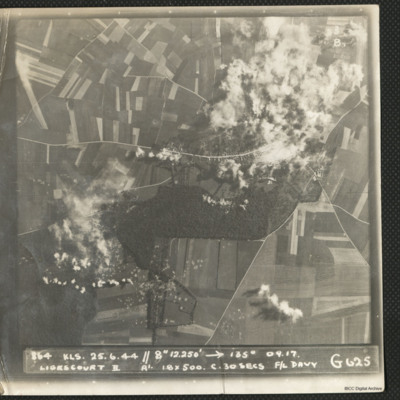
A target photograph during an operation at Ligescourt V-1 site. The village, tracks and woods to the south are visible. Explosions and smoke are seen on the village at top right and bottom left in the woodlands. Many craters in the fields around are…

PDavyFR1908.jpg
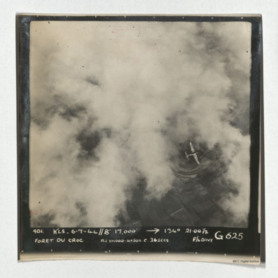
A vertical aerial photograph of Foret du Croc. Most of the image is obscured by cloud. A Lancaster is visible in a clear patch under which road patterns are visible. It is captioned '901 KLS 6-7-44//8" 17,000' -->134° 21.00 1/2 Foret du Croc…

PDavyFR1907.jpg
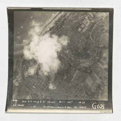
A target photograph taken during an operation at Le Havre. The left-centre of the image is obscured by cloud. The coastline and beaches north of the port is shown. A mix of urban and rural landscape with roads are visible, including the distinctive S…

PDavyFR1906.jpg
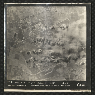
A vertical aerial photograph of an operation at Volkel airfield. Much of the image is obscured by bomb blasts and smoke.
It is captioned '1243 KLS 15.8.44//8" 15,500

PDavyFR1905.jpg
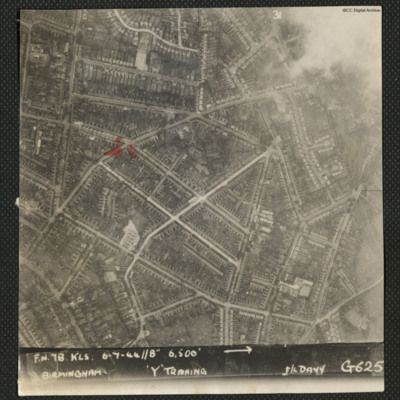
A vertical aerial photograph of Birmingham. The intersection between Church Hill Road and Crompton Road is highlighted. Captioned 'FN78 KLS 6-7-44//8" 6500' --> Birmingham 'Y' Training F/L Davy G625'.

Identification kindly provided by Kenneth R.…
Output Formats

atom, dc-rdf, dcmes-xml, json, omeka-xml, rss2