Browse Items (1442 total)
- Tags: aerial photograph
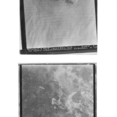
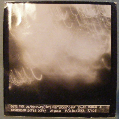
Essen and Cologne
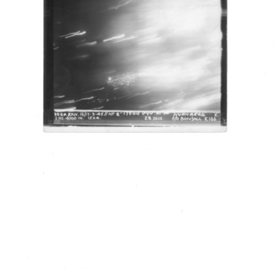
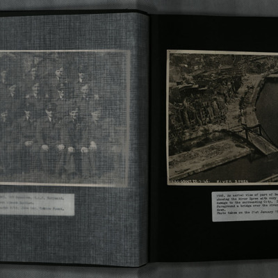
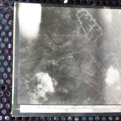
Nuremberg
George C Dunn’s pilot's flying log book. One
Tags: 10 Squadron; 16 OTU; 1663 HCU; 18 OTU; 20 OTU; 608 Squadron; 76 Squadron; Advanced Flying Unit; aerial photograph; aircrew; Anson; bombing; bombing of Hamburg (24-31 July 1943); Bombing of Peenemünde (17/18 August 1943); Cook’s tour; Flying Training School; Halifax; Heavy Conversion Unit; Lancaster; Mosquito; Operational Training Unit; Oxford; pilot; RAF Barford St John; RAF Chipping Norton; RAF Church Broughton; RAF Downham Market; RAF Driffield; RAF Finningley; RAF Linton on Ouse; RAF Lossiemouth; RAF Melbourne; RAF Rufforth; RAF Upper Heyford; RAF Upwood; RAF Worksop; RAF Wyton; target photograph; Tiger Moth; training; Wellington
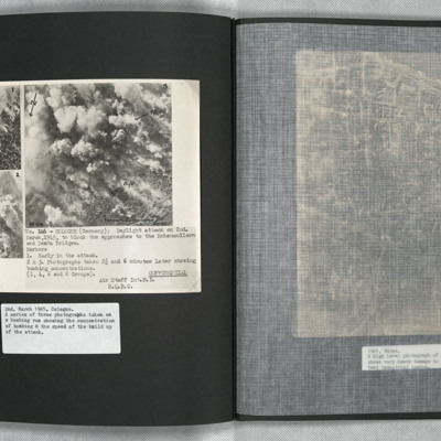
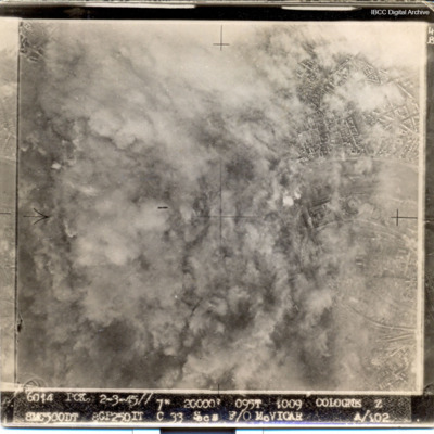
Cologne
Aerial View of Berlin
Tags: aerial photograph; bombing
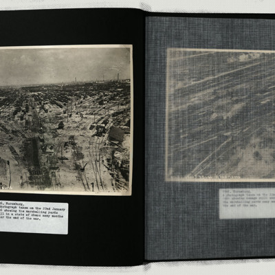
Nuremburg
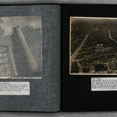
Photo 3 is a view of the heavily damaged Apprentice Shop of the Man works.
Photo 4 is the heavily damaged Searchlight Mirror Shop of the Fiems-Schuchorp Works.
Photo 5…
Tags: aerial photograph; bombing; searchlight
Bremen
Tags: aerial photograph; bombing
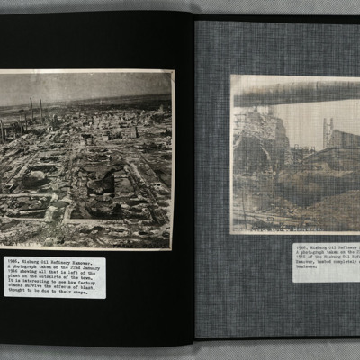
Misburg Oil Refinery
Tags: aerial photograph; bombing
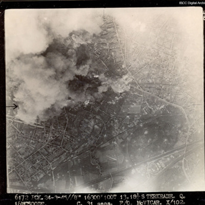
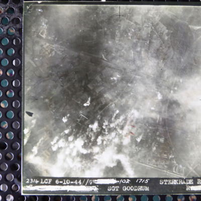
Sterkrade
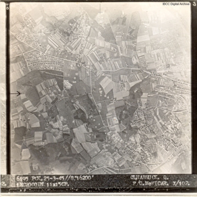
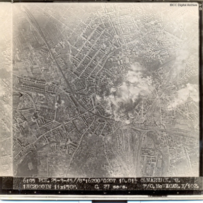
Osnabruck
Captioned '6195 PCK. 25-3.45//8" 16200' OSNABRUCK. Q. 1HC2000IN 11X15CP. F/O McVICAR. X/102
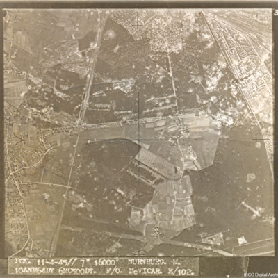
Nürnberg-Langwasser
Captioned 'PCK. 11-4-45//7" 16000' NURNBURG. M. 10ANM64IN 6MO500DT. F/O McVICAR. E/102.'
Kamen
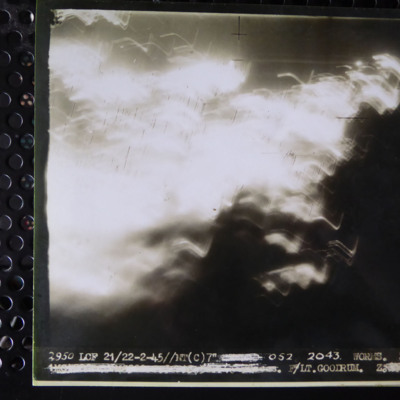
Worms
Cologne
Osnabrück
William Shaw’s navigator’s, air bomber’s and air gunner’s flying log book
Tags: 37 Squadron; aerial photograph; Air Gunnery School; aircrew; Anson; B-24; bombing; C-47; Dominie; Heavy Conversion Unit; Operational Training Unit; Oxford; Proctor; RAF Abu Sueir; RAF Aqir; RAF Evanton; RAF Shallufa; RAF Yatesbury; target photograph; training; Wellington; wireless operator; wireless operator / air gunner; York
David Leicester’s Royal Australian Air Force flying log book for pilots
Tags: 158 Squadron; 1652 HCU; 1658 HCU; 24 OTU; 35 Squadron; 640 Squadron; Advanced Flying Unit; aerial photograph; aircrew; bombing; bombing of Hamburg (24-31 July 1943); bombing of Kassel (22/23 October 1943); bombing of Nuremberg (30 / 31 March 1944); Bombing of Trossy St Maximin (3 August 1944); Distinguished Flying Cross; Flying Training School; Halifax; Halifax Mk 2; Halifax Mk 3; Heavy Conversion Unit; Lancaster; Lancaster Mk 3; Master Bomber; Normandy campaign (6 June – 21 August 1944); Operational Training Unit; Oxford; Pathfinders; pilot; RAF Coningsby; RAF Grantham; RAF Graveley; RAF Honeybourne; RAF Leconfield; RAF Lissett; RAF Riccall; RAF Warboys; tactical support for Normandy troops; target photograph; Tiger Moth; training; Whitley
Worms
Sterkrade
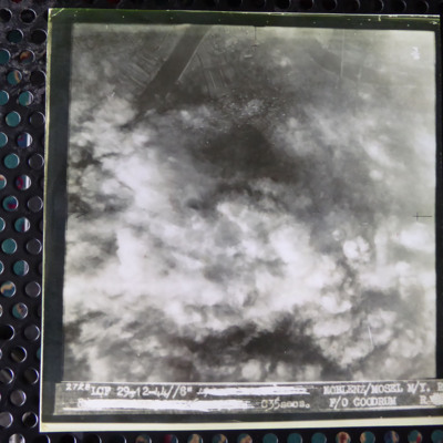
Koblenz
Soesterberg
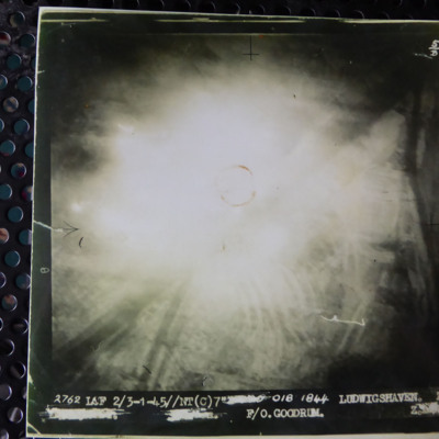
Ludwigshaven
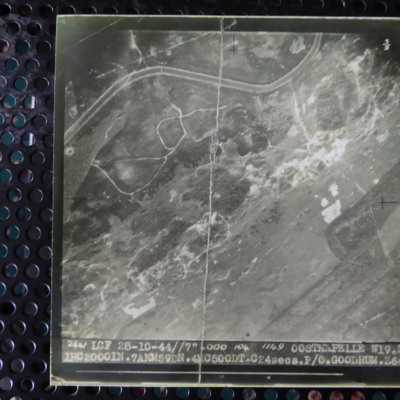
Oostkapelle
J S Ross’s pilots flying log book. One
J S Ross’s pilots flying log book. Two
Tags: 102 Squadron; 1652 HCU; 29 OTU; Advanced Flying Unit; aerial photograph; aircrew; bombing; bombing of the Mimoyecques V-3 site (6 July 1944); C-47; Cheshire, Geoffrey Leonard (1917-1992); Flying Training School; Halifax; Halifax Mk 2; Halifax Mk 3; Heavy Conversion Unit; Lancaster; Magister; mine laying; Normandy campaign (6 June – 21 August 1944); Operational Training Unit; Oxford; pilot; RAF Bitteswell; RAF Bruntingthorpe; RAF Little Rissington; RAF Lyneham; RAF Marston Moor; RAF Nutts Corner; RAF Pocklington; RAF Windrush; Stirling; tactical support for Normandy troops; target photograph; training; V-1; V-weapon; Wellington; York

