Browse Items (270 total)
- Spatial Coverage is exactly "Atlantic Ocean--North Sea"
Sort by:
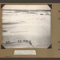
Flooded area around Walcheren
Aerial inclined photograph showing snow covered flat open countryside with a few marked field boundaries. In the foreground on the left part of a fenced field with a few boundary trees. In the distance more wooded countryside. Captioned 'Flooded area…
Tags: aerial photograph; bombing; Cook’s tour
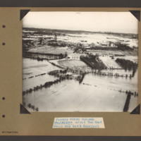
Flooded areas around Walcheren
Aerial inclined photograph showing flooded fields with some boundary hedges and isolated buildings in the foreground. In the middle is a village orientated left to right across the scene. At the left end is a church surrounded by houses. In the…
Tags: aerial photograph; bombing; Cook’s tour
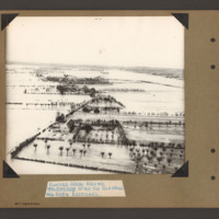
Flooded areas around Walcheren
Aerial inclined photograph showing flooded farmland. In the foreground a farmhouse with hedge lined fields/orchards to the right. A flooded road runs from bottom left towards the middle when it bends back towards the top left. Along the road are…
Tags: aerial photograph; bombing; Cook’s tour
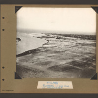
Holland Flushing
Aerial inclined photograph showing flat flooded land in the foreground and a coastal town in the distance. On the left side a inlet open into open sea. A river runs from middle right side towards the sea on the left. Beyond the river is a town on a…
Tags: aerial photograph; bombing; Cook’s tour
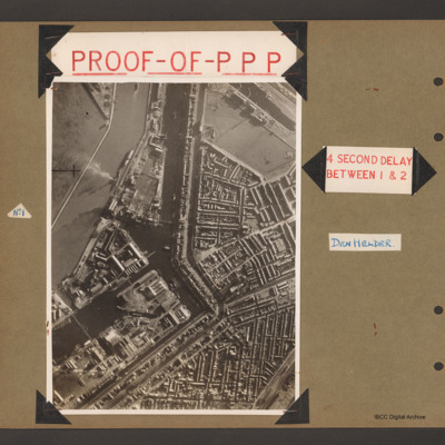
Proof of PPP
First page has aerial vertical photograph of canal and dock basin with town to the right hand side. A river runs down the left side with two ships moored on the right side. A further barge is in midstream at the tip. A canal runs from top to middle…
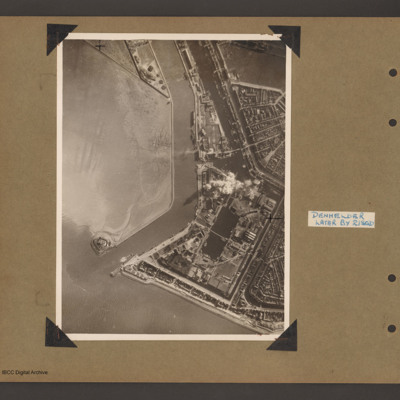
Den Helder
An aerial vertical photograph showing the mouth of a river meeting open water with town and docks on the right. River runs from top downwards before bending left to meet open water. At the river mouth on the left is a defensive fortification. The…
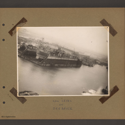
Floating dock at Zeebrugge
An aerial inclined photograph of docks. In the centre left a floating dock containing a ship. To the right of dock other floating dockyard machinery and some small moored boats. Various cranes and other unloading equipment are visible. Captioned 'Low…
Tags: aerial photograph
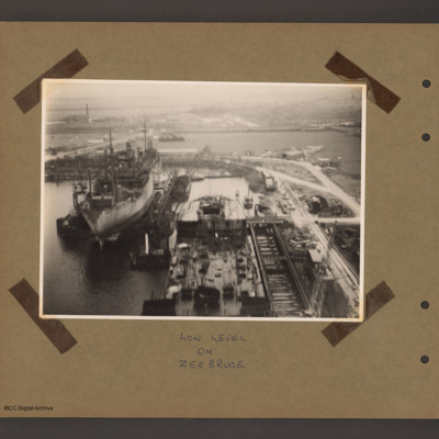
Floating Dock at Zeebrugge
An aerial inclined photograph of two floating docks with ships. At the bottom centre the rear half of a ship in a floating dock with an open cargo hold at the rear. There are cranes bottom right and at the rear left side. To the left and further back…
Tags: aerial photograph
Rotterdam Docks
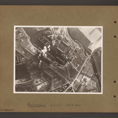
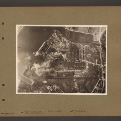
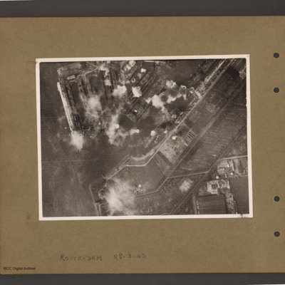
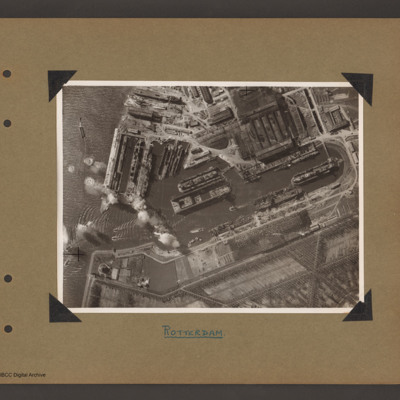
An aerial vertical photograph of docks. On the right a series of interconnected canals and basins. A road runs from top right to middle bottom crossing the canal over narrow channel. A large basin goes from top left to the centre with several ships…
Rotterdam Docks
Aerial vertical photograph of docks. A wide river runs from top centre diagonally to bottom left. At the top an inlet and on the right side a road runs top to bottom. Below the inlet and between road and river is a large basin with docks running off…
Rotterdam Docks
Aerial vertical photograph of docks. On the left a river with opening to a dock basin. A number of docks with jetties lead of on the top side of the basin. There is a ship moored on the left of the second dock from left. A series of bomb explosions…
Rotterdam Docks
Aerial vertical photograph of Wilton Shipyards. On the left the Nieuwe Maas river with entrance to Vijfsluizen basin (Wiltonhaven). Several small craft are leaving it and spreading out on the river. Just inside the entrance, on the top side, several…
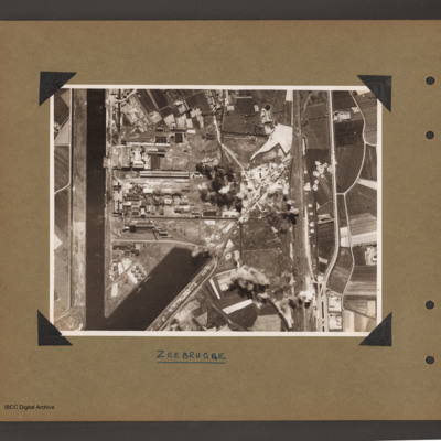
Zeebrugge Dock
Aerial vertical photograph of dock area. On the left a canal running vertically from top to bottom. At the bottom an inlet dock runs towards the centre. On the left side of the inlet six tanks and two small ships moored on jetties. Above the inlet…
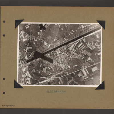
Zeebrugge
Aerial vertical photograph of canal and dock basin. A canal runs from top right to centre left. At the left end is a basin runing from the canal towards the bottom right. To the right of the basin is an industrial area. Below the industrial area…
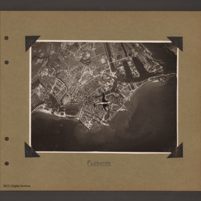
Ventura over Flushing
Aerial vertical photograph of coastline with town and docks. Coastline runs from mid left to right with a broad peninsular in the centre on which is a large town with docks. There are five jetties/piers running out into the sea. There is a Ventura…
Tags: aerial photograph; bombing; Ventura
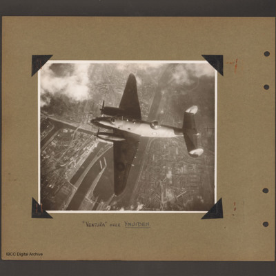
Ventura over Ijmuiden
Aerial vertical photograph of Ventura flying over canals and town. A Ventura coded YH of 21 squadron flies from right to left. Below is a canal which splits into a number of channels and a branch goes up into the town on the left side. Town buildings…
Tags: 21 Squadron; aerial photograph; Ventura
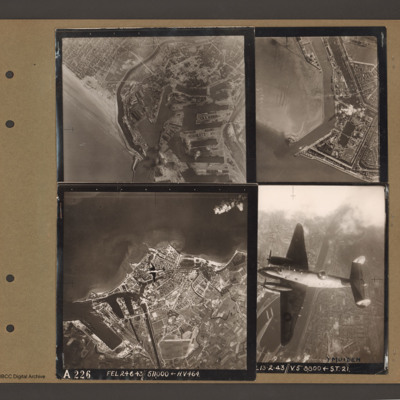
Dunkirk, Den Helder, Vlissingen and Ventura over Ijmuiden
Top left an aerial vertical photograph of Dunkirk docks. A river runs from the sea bottom centre in a curve to top centre. Docks with moles and basins are to the right and the town is to the left of the river.
Top right an aerial vertical…
Top right an aerial vertical…
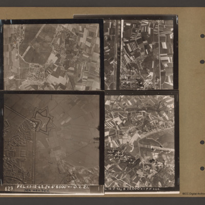
Caen-Carpiquet, Den Helder, Morlaix and unidentified canal
Top left an aerial vertical photograph of part of Caen-Carpiquet airfield. The runway runs from mid left to top right. The airfield is surrounded by a perimeter track and there is a square built up area at the bottom of the airfield.
Top right an…
Top right an…
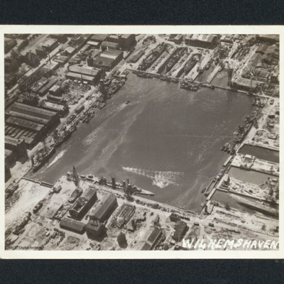
Wilhelmshaven docks
Oblique aerial photograph of a square dock area with several naval vessels. There are dry docks at the top. The majority of the workshop are undamaged. It is captioned 'Wilhemshaven' [sic].
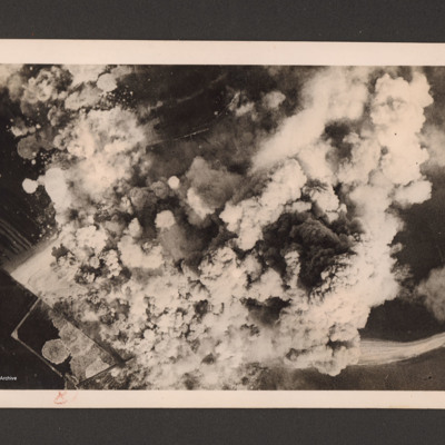
Heligoland under attack
Target photograph showing a very large number of bomb explosions covering most of the image. On the reverse 'Heligoland 18.4.45. The airfield under intense R.A.F. Bomber Command attacks, 27 April 1945'.
Bombing operations early 1945
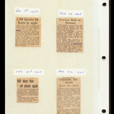
Cutting 1 describes a 1300 bomber operation on Munich and Ulm. Flight Lieutenant W Drinkell describes the lack of fighters. Captioned 'Jan 7th 1945'. Cutting 2 describes attacks on Germany and an oil refinery at Brux in Czechoslovakia. Also a…
Bomb aimers briefing 26 May 1944
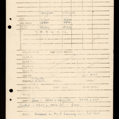
Two bomb loads for six aircraft. Pre-selection settings. Window briefing, route, method. Notes that 3 Mosquito serrate over southern Denmark. Annotated 'Kiel Bay and Frisians'. On the reverse a note.
Tags: aircrew; bomb aimer; bombing; briefing; mine laying; Mosquito; Window
Bomb aimers briefing 7 March 1945 - Hamburg
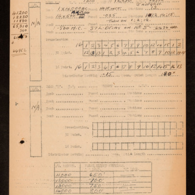
Indicates a single bomb load for operations on night 7 March 1945. Includes H hour, preselection and distributor settings, false height settings and other notes. Annotated with handwritten weight calculations. On the reverse marking and tactics…
Tags: 44 Squadron; aircrew; bomb aimer; bombing; briefing; Mosquito; RAF Spilsby; target indicator
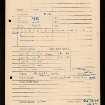
Bomb aimers briefing 29 October 1944 - Walcheren
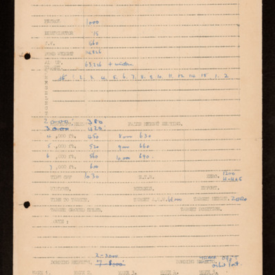
Indicates a single bomb load for operation. Includes preselection setting, false heights and other settings. Details callsigns, bombing heights and other information. On the reverse marking and bombing instructions.
Tags: aircrew; bomb aimer; bombing; briefing; Master Bomber; target indicator
Bomb aimers briefing 23 October 1944 - Flushing
Shows two bomb loads for operation. Details preselection and false height settings as well as other information including Window. On the reverse a sketch map of docks with aiming points. At the bottom a weight calculation.
Tags: aircrew; bomb aimer; bombing; briefing; Window

