Browse Items (681 total)

  • Conforms To is exactly "Geolocated"

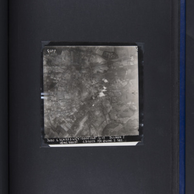
PQuineJW16020283.jpg
Target photograph showing smoke from six bombs in built up area in centre of frame. Open countryside and fields all round. Captioned '3690, L.SGN, 22.3.45, 7", 15000, 048, 1492, DULMEN J, 18 MC 500DT. C31SECS, F?O QUINE, J, 582'.

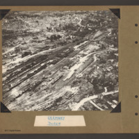
PBanksP15010016.jpg
Oblique aerial photograph of Duren railway station and railway yards. In the centre a railway marshalling yard with multiple tracks towards the left side with many strings of railway rolling stock. In the centre slightly right is the main station…

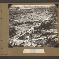
PBanksP15010017.jpg
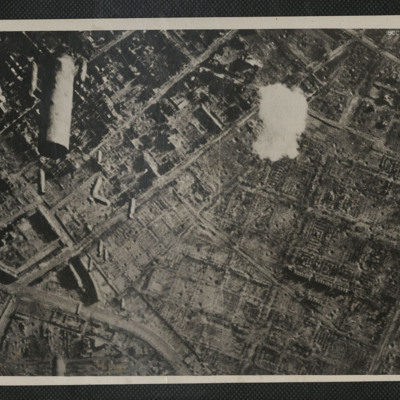
Oblique aerial photograph of Duren. A city landscape of largely destroyed buildings. A principle road runs from bottom left diagonally to top right. Another curved road runs from bottom left to the right side where it joins a further road running…

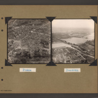
PBanksP15010045.jpg
On the left an aerial inclined photograph showing a destroyed city area. In the foreground a long thin body of water is surrounded by destroyed and damaged buildings. In the centre buildings have almost completed been reduced to rubble with just a…

PHouriganM18010073.jpg
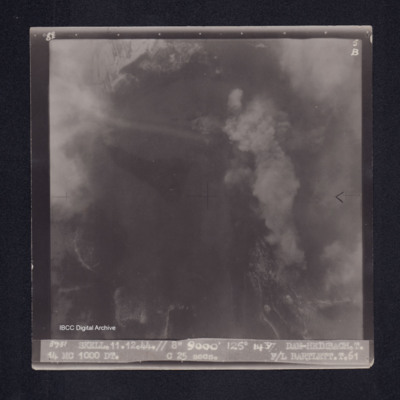
Target photograph of the Heimbach Dam. Partially obscured by cloud smoke and dust. No detail clearly visible. Captioned '8°F', '5B', '3931 SKELL.11.12.44.// 8" 9000' 125° 1437 DAM-HEIMBACH.T. 14 MC 1000 DT. C 25secs. F/L BARTLETT.T.61'. On the…

PWyldeHJ22010002.jpg
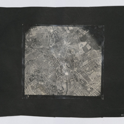
A vertical aerial photograph of Darlington. The tanks near Borough Road are circled.

Identification kindly provided by Richard Evans of the Unidentified photos of the British Isles Facebook group.

PDentJ20010002.jpg
Target photograph of Cologne Melatenfriedhof area. Falling bombs on the left side and a burst of anti aircraft fire on top right.

Identification kindly provided by Frank Doerschner of the Finding the location WW1 & WW2 Facebook Group.

PBaileyHH1608.jpg
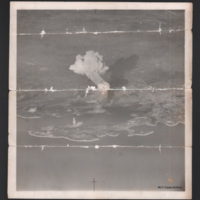
Oblique aerial photograph of the harbour of Pula in Croatia centered on Otočić Sveti Andrija. The photograph focus is poor and has been folded several times resulting in horizontal tear marks cross the image. A big smoke cloud is rising from an…

PThomasAF20040046.jpg
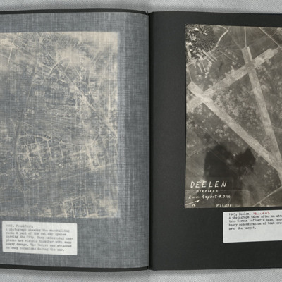
A vertical aerial photograph showing the airfield, south-west of Deelen, Arnhem. Three runways in the “A” configuration are seen, with the two main runways forming the top of the “A” at lower right. Hangars and other airfield buildings are to…

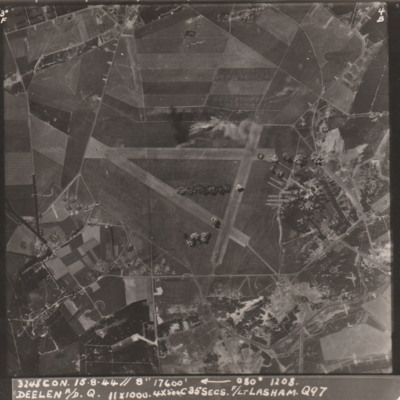
PWilsonH1503.jpg
Target photograph showing an airfield with triangle of runways with buildings bottom and right. Bomb bursts are visible across the airfield. Caption '3248 CON. 15.8.44// 8" 17600, 080, 1208, DEELEN A/D Q., 11x1000, 4x500C35secs. F/Lt LASHAM, Q97'.

PBanksP15010056.jpg
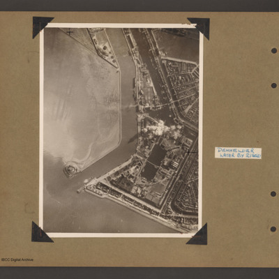
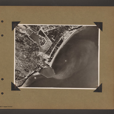
An aerial vertical photograph showing the mouth of a river meeting open water with town and docks on the right. River runs from top downwards before bending left to meet open water. At the river mouth on the left is a defensive fortification. The…

PBanksP15010095.jpg
Aerial vertical photograph of a coastal port. Coastline runs from top right to bottom left with open sea to the right. One quarter way up from left there is an inlet with breakwaters which leads into inland dock basins surrounded by a town. There are…

PBanksP15010105.jpg
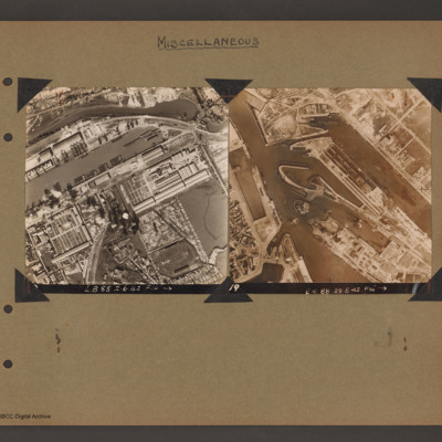
Top left - reconnaissance photograph showing the port of Dieppe. Basin running middle left to top right with many barges tied up. River runs above top edge of basin with industrial building between. Below basin more industrial buildings and a further…

SWeirG19660703v110004-0008.jpg
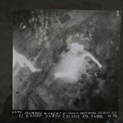
Night target photograph showing railway with marshalling yard, glare in centre and tracer. captioned '4379.HLM 10/11-8-44//NT 8" 11000 >065degrees.0024. Dijon RD.C1 6x1000 3x500 C 21 secs F/S Jubb 0 76'.

This item was sent to the IBCC Digital…

PAbbottER23010076.jpg
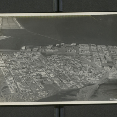
A low level oblique of Djibouti. Streets are laid out in a regular grid pattern. On the reverse 'Djibouti (French Somaliland)'.

PBrileyWG15010016.jpg
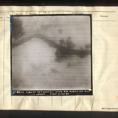
Vertical aerial photograph of the railway line near Doboj and the Bosna river. There are some explosions. Captioned '2740/52 5 Jan 45 F8"// 8000° [arrow] 11.00 1/2 R.R. Dobolj Rly Bdg. Sgt. Hanson. F/Sgt Jones B/A'.

SWeirG19660703v110004-0001.jpg
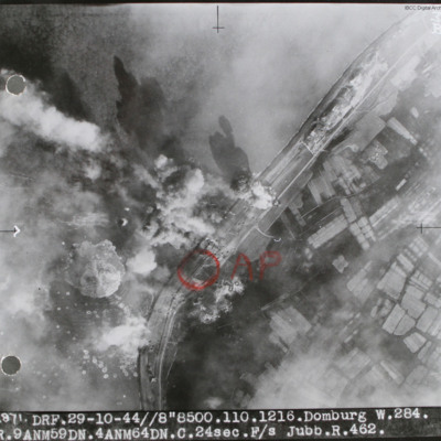
Target photograph of sea wall with sea on left and land on right. Many bomb explosions visible. Annotated with aiming point in red ink. Captioned '2871 DRF 29-10-44//8"8,500. 110.1216. Domburg W.284, R.9 ANM59DN.4AMN64DN.C.24sec.F/S Jubb.R.462'.…

SWeirG19660703v110004-0014.jpg
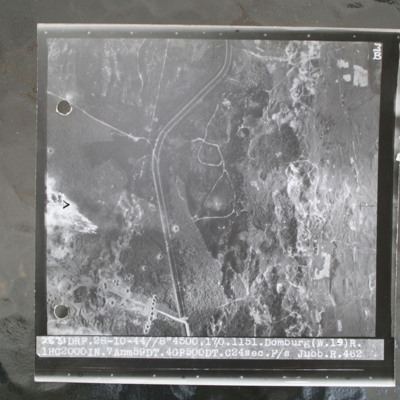
Target photograph of open heathland with canalised ditch running top to bottom. The ditch has tracks either side and several crossing points. Craters are visible, particularly in lower left with one row crossing ditch with one crater visible within…

SCockramJC419379v10030.pdf
Operation 31 for the crew. Three sheets of a Navigation Log showing the route to be taken to and from the target and the Observations made along the way. Part of a Plotting Map showing the route to and from Domburg on Walcheren Island. On the reverse…

PHouriganM18030011.jpg
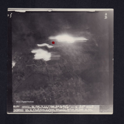
Target photograph of Donges. Light streaks and red dot just above centre of photograph. Captioned '5°F', '8B', '1450 SKELL.24/25.7.44//NT.8" 10750' [arrow] 315° 0143 DONGES RD.E.11X1000.4X500.22secs.F/LT FLINT.E.50.' On the reverse '[underlined]…

PHouriganM18030049.jpg
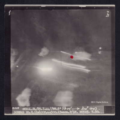
Target photograph of Donges. Little detail visible, red dot just right of centre. Light streaks and small number of explosions. Captioned '8°F', '7B', '1449 SKELL.24/25/7.44//NT.8" 8600' [arrow] 314° 0142 DONGES RD.V.11X1000,4X500.19secs.F/LT…

PPappinJ1709.jpg
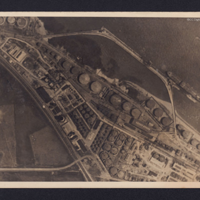
Two reconnaissance photographs of the Donges oil refinery, near Nantes in France before and after the bombing operations.
The photographs were released for publication in newspapers.
The second photograph shows extensive damage with many buildings,…

PBanksP15010029.jpg
Aerial inclined photograph showing a snow covered city landscape with multistory buildings. A road leads from bottom centre towards the top left with another road joining it leading off towards the top right. In the foreground are a number of…

PBanksP15010030.jpg
Aerial inclined photograph showing a factory complex surrounded at the top with multistory town buildings and to the left by gardens/allotments. In the centre a large factory complex with long buildings running diagonally right to left and above them…
Output Formats

atom, dc-rdf, dcmes-xml, json, omeka-xml, rss2