Browse Items (583 total)

  • Temporal Coverage starts with "1944-08"

PHouriganM18020017.jpg
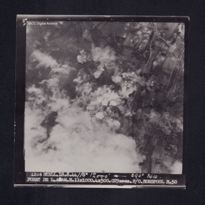
Target photograph of Forêt de L'Isle-Adam. Road rail bridge over river Oise top right, bottom left obscured by cloud with smoke and dust, bomb explosions and craters visible. Captioned '5°F', '5B', '2208 SKELL. 18.8.44 //8" 12000' [arrow] 090°…

PHouriganM18020023.jpg
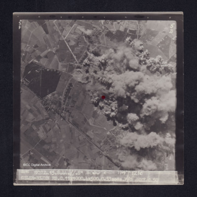
Target photograph of Gilze-Rijen. End of runway visible just below red dot, taxyways visible. Much of right side of photograph obscured by bomb explosions, smoke and dust. visible area rural. Captioned '3°F', '5B', '2141 SKELL. 15.8.44. //. 8"…

PHouriganM18030051.jpg
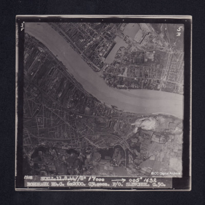
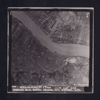
Target photograph of Bordeaux showing both banks of the River Garonne with submarine pens in docks. Northern districts are visible. Target area clear with no clouds. No bomb bursts seen. Captioned ‘3° F’, ‘5B’, ‘1918 SKELL. 11.8.44 // 8”…

PHouriganM18030003.jpg
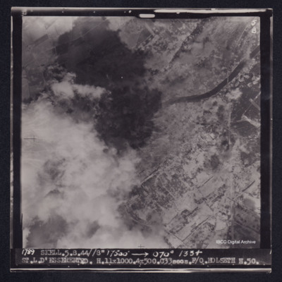
Target photograph of Saint-Leu-d'Esserent. Railway bridge crossing river Oise top right. Left side of photograph partially obscured by smoke and dust, very many craters. Captioned '5F', '5B', '1789 SKELL. 5.8.44//8" 17500' [arrow] 070° 1334…

PHouriganM18030021.jpg
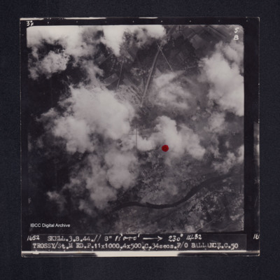
Target photograph of Trossy St Maximin. Both banks of the river Oise visible although partially obscured by smoke or cloud, red dot just right of centre. Very many craters. Captioned '3°F', '5B', '1652 SKELL.3.8.44// 8" 18000' [arrow] 230° 1432…

PHouriganM18030025.jpg
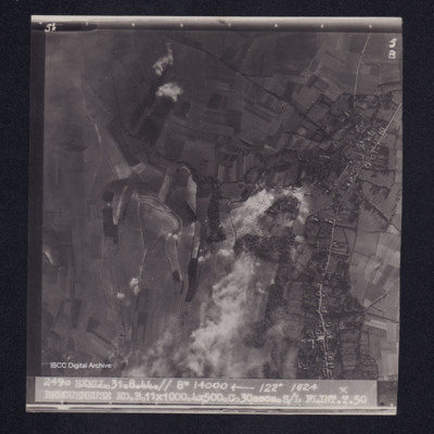
Target photograph of Bergueneuse. Rural area, many craters visible. Captioned '5°F', '5B', '2490 SKELL.31.8.44.// 8" 14000' [arrow] 122° 1824 BERGUENEUSE RD.B.11X1000.4X500.C.30secs.S/L FLINT.T.50'. On the reverse '[underlined] S/L FLINT 31.8.44.…

PHouriganM18030037.jpg
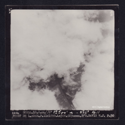
Target photograph of Forêt de L'Isle-Adam. Almost completely obscured by cloud, little detail. Captioned '5°F', '5B', '2256 SKELL.18.8.44//8" 12500' [arrow] 080° 1411 FORET DE L.ADAM.P.11X1000.4X500.C.29secs.F/O.DAVIS W.J. P.50'. On the reverse…

PHouriganM18030041.jpg
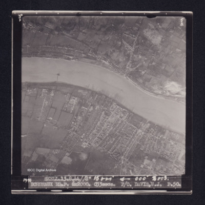
Target photograph of Bordeaux. River Garonne from left to right in photograph, both banks clearly visible. Upper bank largely rural with some buildings following the roads. Lower bank more industrialised, piers visible. Captioned '3°F', '5B', '1991…

PHouriganM18030051.jpg
Target photograph of Bordeaux. Both banks of river Garonne with basins, docks submarine pens, and moored ships clearly visible. Industrial area with roads and railways visible. Captioned '3°F', '5B', '1918 SKELL.11.8.44//8" 17000 [arrow] 005° 1632…

PHouriganM18030055.jpg
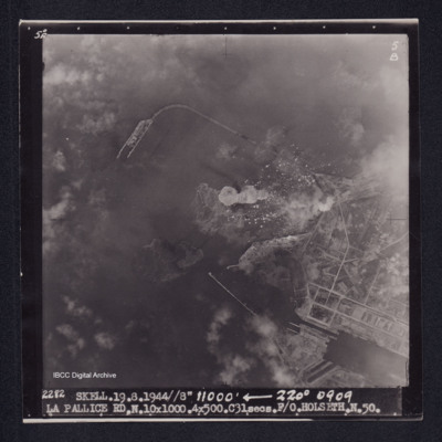
Target photograph of La Pallice. Port area, breakwaters, quays, docks and roads clearly visible. some smoke and disturbed water from bomb explosions. Captioned '5°F', '5B', '2282 SKELL.19.8.44//8" 11000' [arrow] 220° 0909 LA PALLICE…

PHouriganM18030057.jpg
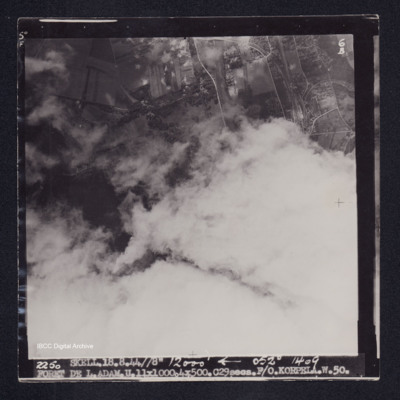
Target photograph of Forêt de L'Isle-Adam. Mainly obscured by cloud, area visible is open country. Railway junction, sidings and craters are visible. Captioned '5°F', '6B', '2250 SKELL.18.8.44//8" 12000' [arrow] 052° 1409 FORET DE…

PHouriganM18030071.jpg
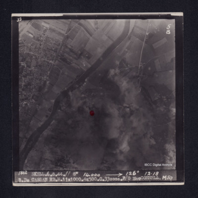
Target photograph of Bois de Cassan. Both banks of river Oise visible, rural area. Red dot left of centre, much of photograph obscured by smoke and dust, but roads and field patterns clearly visible. Captioned '3°F', '5B', '1862 SKELL.6.8.44.// 8"…

PHouriganM18030109.jpg
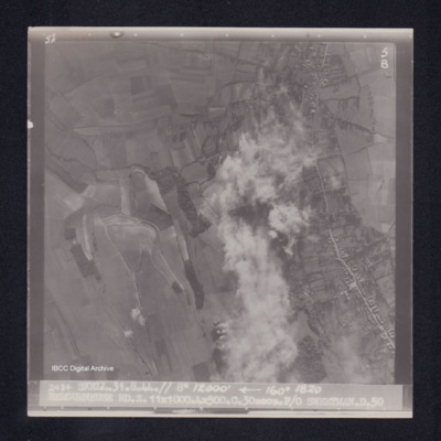
Target photograph of Bergueneuse. Rural area, central strip obscured by smoke and dust. Road running top to bottom on right, structures visible on both sides. Some craters in open country. Captioned '5°F', '5B', '2484 SKELL.31.8.44.// 8" 12000'…

PHouriganM18030127.jpg
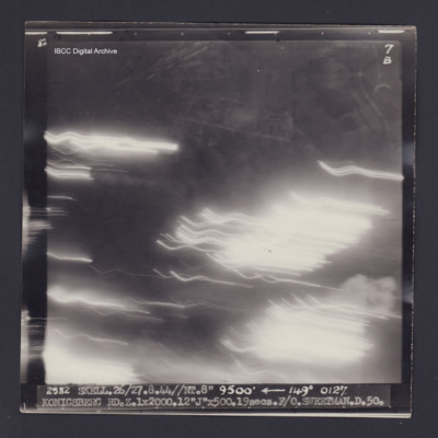
Target photograph of Königsberg. Numerous light streaks, no detail visible. Captioned '8°F', '7B', '2582 SKELL.26/27.8.44//NT.8" 9500' [arrow] 149° 0127. KONIGSBERG RD.Z.1X2000.12"J"X500.19secs.F/O.SWEETMAN.D.50.' On the reverse '[underlined] F/O…

PHouriganM18030131.jpg
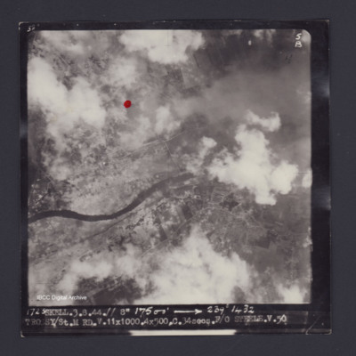
Target photograph of Trossy St Maximin. Red dot just left and higher than centre. Rural area, river Oise running across photograph, some smoke and dust, many craters. Captioned '3°F', '5B', '1723 SKELL.3.8.44.// 8" 17500' [arrow] 239° 1432…

PHouriganM18030142.jpg
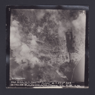
Target photograph of La Pallice. Partially obscured by smoke and dust but basin, docks, lock, quays, road pattern and industrial buildings all visible. Captioned '5°F', '5B', '2342 SKELL.19.8.1944//8" 10000' [arrow] 000° 0913. LA PALLICE…

PHouriganM18030146.jpg
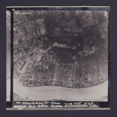
Target photograph of Bordeaux. River Garonne running across bottom of photograph. Basins, docks, submarine pens, and industrial buildings clearly visible. Captioned '3°F', '5B', '1951 SKELL.11.8.44//8" 18000 [arrow] 010° 1635 BORDEAUX RD.D. 6X2000.…

PHouriganM18030150.jpg
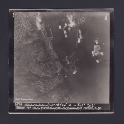
Target photograph of Brest. Port area, breakwaters, quays roads and buildings clearly visible. Bomb explosions in water. Captioned ' 3° F', '5B', '2075 SKELL.14.8.44.//.8" 15500' [arrow] 305° 2021. BREST 'B' RD.Q.11X100.4X500.C.33secs.P/O…

PHouriganM18030171.jpg
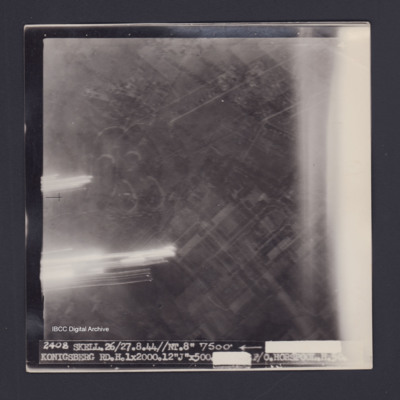
Target photograph of Konigsberg. Partially obscured by light streaks, Urban area no clear details. Caption '2408 SKELL.26/27.8.44//NT.8" 7500' [arrow] [track and time censored] KONIGSBERG RD.H.1X2000.12"J"X500.[exposure censored] F/O HORSPOOL .H.50'.…

PHouriganM18030173.jpg
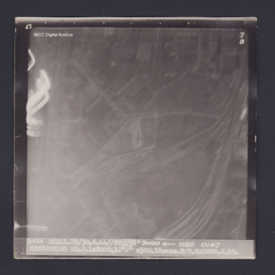
Target photograph of Konigsberg. Partially obscured by light streaks and haze. No detail visible. Captioned '8°F', '7B', '2428 SKELL 29/30.8.44//NT 8" 9000 [arrow] 020 0147 KONIGSBERG RD.J.1X2000.12"J" X500.18secs.F/O HARROP.J.50.'. On the reverse…

SChattertonJ159568v10141.jpg
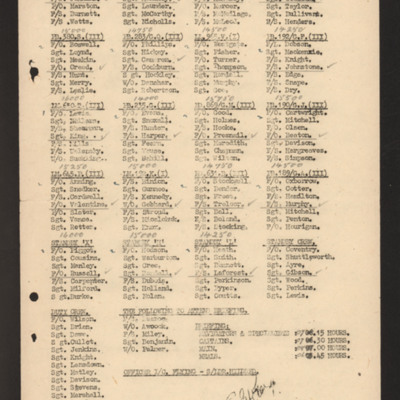
List crews and aircraft for operations on 15 August 1944. One member of each crew is underlined and ticked. Heights are annotated against each aircraft.Includes duty personnel and timings.

SChattertonJ159568v10412.jpg
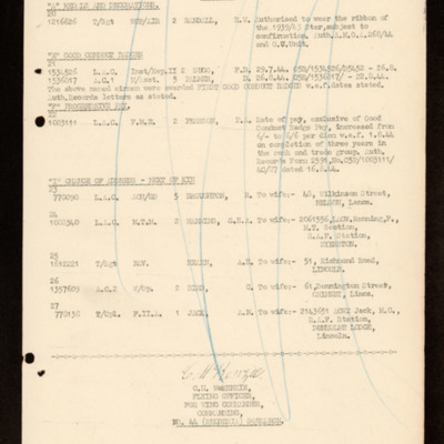
Lists personnel entitled to medals and decorations and good conduct badges. Lists changes of address for next of kin.

SChattertonJ159568v10426.jpg
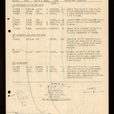
Lists movements in, movements out and discharges for airmen.
Output Formats

atom, dc-rdf, dcmes-xml, json, omeka-xml, rss2