Browse Items (4469 total)
- Tags: bombing
Sort by:
Osnabrück
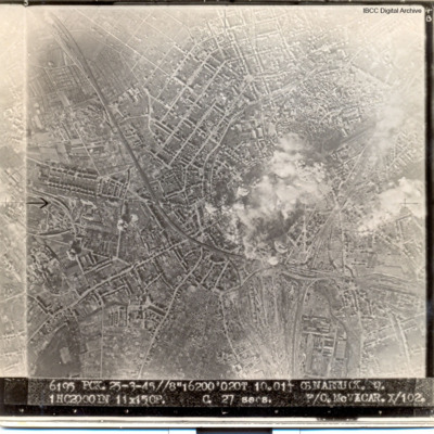
Urban area, smoke and dust in centre of picture. Captioned '6195 PCK 25-3-45//8" 16200' 020T 10.01 OSNABRUCK. Q. 1HC2000IN 11X15CP. C 27secs F/O McVICAR X/102
Le Havre and Terry Ford's crew
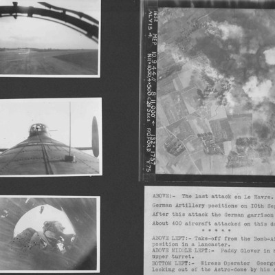
Four photographs from an album.
Photo 1 is a view during take off from the bomb aimer's station.
Photo 2 is air gunner Paddy Glover in his mid-upper turret.
Photo 3 is wireless operator George Tredinnick looking out of the astro-dome.
Photo 4 is…
Photo 1 is a view during take off from the bomb aimer's station.
Photo 2 is air gunner Paddy Glover in his mid-upper turret.
Photo 3 is wireless operator George Tredinnick looking out of the astro-dome.
Photo 4 is…
Frankfurt and Calais
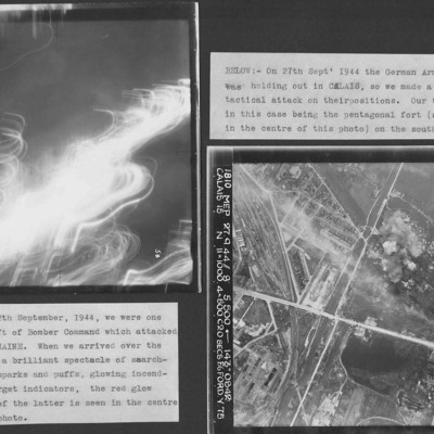
Two vertical aerial photographs from an album.
Photograph one, Frankfurt at night, is indecipherable. Captioned 'a brilliant spectacle of searchlights, flak sparks and puffs, glowing incendiaries and target indicators'.
Photograph two is taken…
Photograph one, Frankfurt at night, is indecipherable. Captioned 'a brilliant spectacle of searchlights, flak sparks and puffs, glowing incendiaries and target indicators'.
Photograph two is taken…
Westkapelle Dyke and Dortmund
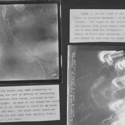
Two target photographs from an album.
Photo 1 is Westkapelle dyke which was bombed to flood Walchern Island, which was below sea level.
Photo 2 is a night attack on Dortmund, most of the image obscured by anti-aircraft fire and target indicators.
Photo 1 is Westkapelle dyke which was bombed to flood Walchern Island, which was below sea level.
Photo 2 is a night attack on Dortmund, most of the image obscured by anti-aircraft fire and target indicators.
Emmerich and Terry Ford's crew
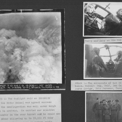
Four photographs from an album. Photo 1 is a target photograph of Emmerich. The river Rhine is visible but no ground detail. Photo 2 and 3 are Terry and Eddy at the controls on the way home from the Emmerich operation. Photo 4 is six airmen and a…
Koblenz, flight engineer and Lancaster
Three photographs from an album.
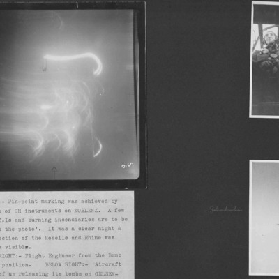
Photo 1 is a target photograph of a night attack on Koblenz. All detail is obscured by target indicators and incendiaries.
Photo 2 is Terry's flight engineer seen from the bomb aimer's position.
Photo 3 is a…
Photo 1 is a target photograph of a night attack on Koblenz. All detail is obscured by target indicators and incendiaries.
Photo 2 is Terry's flight engineer seen from the bomb aimer's position.
Photo 3 is a…
Homberg and a Lancaster exploding in mid-air
Three photographs from an album.
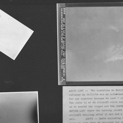
Photo 1 is an air-to-air photograph of an aircraft exploding after a direct hit.
Photo 2 is an air-to-air photograph of burning pieces of an aircraft after a direct hit.
Photo 3 is a vertical aerial photograph of…
Photo 1 is an air-to-air photograph of an aircraft exploding after a direct hit.
Photo 2 is an air-to-air photograph of burning pieces of an aircraft after a direct hit.
Photo 3 is a vertical aerial photograph of…
Duisburg
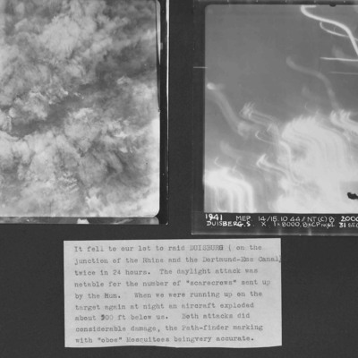
Two vertical aerial photographs of Duisberg. Two operations in 24 hours to the same location. The caption comments on the large number of ' "scarecrows" sent up by the Hun'.
Photo 1 is a daylight image with all the details obscured by explosions…
Photo 1 is a daylight image with all the details obscured by explosions…
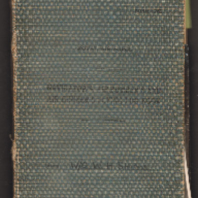
William Shaw’s navigator’s, air bomber’s and air gunner’s flying log book
Navigator’s, air bomber’s and air gunner’s flying log book for W H Shaw, wireless operator, covering the period from 26 November 1943 to 16 February 1947. Detailing his flying training, operations flown and post war flying with 37 Squadron, 168…
Tags: 37 Squadron; aerial photograph; Air Gunnery School; aircrew; Anson; B-24; bombing; C-47; Dominie; Heavy Conversion Unit; Operational Training Unit; Oxford; Proctor; RAF Abu Sueir; RAF Aqir; RAF Evanton; RAF Shallufa; RAF Yatesbury; target photograph; training; Wellington; wireless operator; wireless operator / air gunner; York
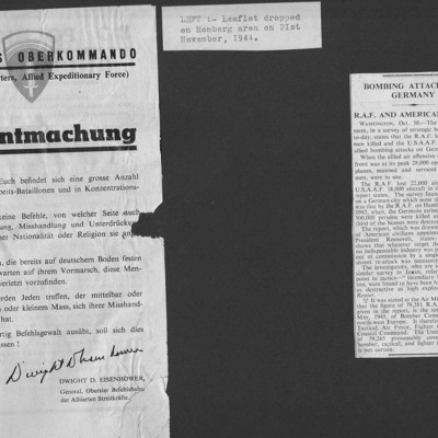
Propaganda Leaflet and Bombing Attacks on Germany
Two items from a scrapbook.
Item 1 is a propaganda leaflet, dropped on Homberg on 21 November 44. It is a warning from Dwight D Eisenhower to the German people not to harm in any way those in forced labour battalions or concentration camps. Allies…
Item 1 is a propaganda leaflet, dropped on Homberg on 21 November 44. It is a warning from Dwight D Eisenhower to the German people not to harm in any way those in forced labour battalions or concentration camps. Allies…
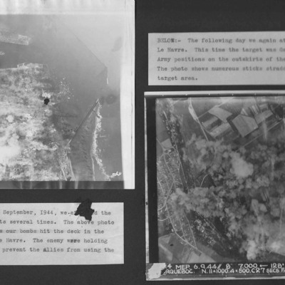
Le Havre
Two vertical aerial photographs from an album.
Photo 1 is bombing of the centre of Le Havre.
Photo 2 is taken on the next day and German Army positions on the outskirts were attacked.
Photo 1 is bombing of the centre of Le Havre.
Photo 2 is taken on the next day and German Army positions on the outskirts were attacked.
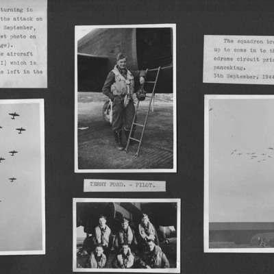
75 Squadron return to Mepal
Four photographs from an album.
Photo 1 is 14 aircraft over Mepal after an operation to Le Havre.
Photo 2 is Terry Ford at the ladder at the rear of his Lancaster.
Photo 3 is 15 Lancasters breaking formation to land at Mepal.
Photo 4 is six…
Photo 1 is 14 aircraft over Mepal after an operation to Le Havre.
Photo 2 is Terry Ford at the ladder at the rear of his Lancaster.
Photo 3 is 15 Lancasters breaking formation to land at Mepal.
Photo 4 is six…
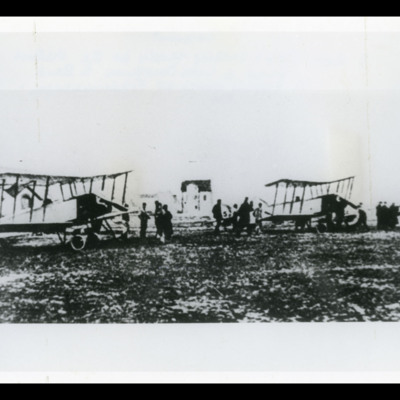
Three Avro 504s
Three Avro 504s in line from left to right. There are men in front of each. On the reverse '? Belgium?, 3 Avro 504s getting ready for the historic flight to Lake Constance to bomb the Zepplin [sic] works at Friedrichshafen, 1914'.
Tags: bombing
Lancaster, Aerial explosion and Airman with bike
Three photographs from an album. Photo 1 is a Lancasters seen during an operation. Photo 2 is a 'Scarecrow' explosion of a Lancaster suffering a direct hit. Photo 3 is an airman with a bicycle.
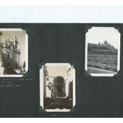
Church at Luqa, Malta
Three photographs from an album.
Photo 1 is the outside of the front of the church.
Photo 2 is the inside which has been badly damaged.
Photo 3 is a postcard with a view across stone walled terraces to the church.
The photos are captioned 'R.C.…
Photo 1 is the outside of the front of the church.
Photo 2 is the inside which has been badly damaged.
Photo 3 is a postcard with a view across stone walled terraces to the church.
The photos are captioned 'R.C.…
Tags: bombing
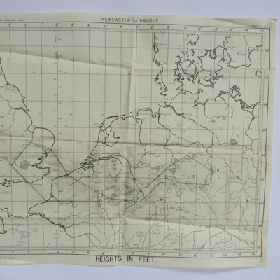
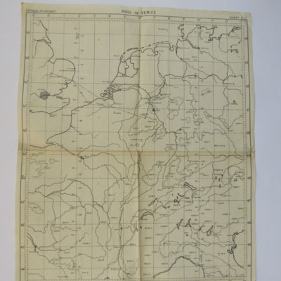
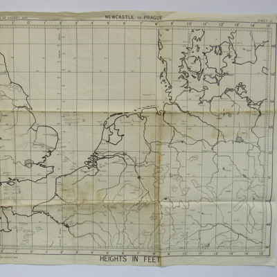
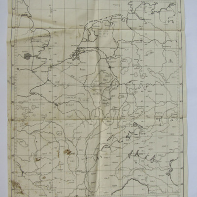
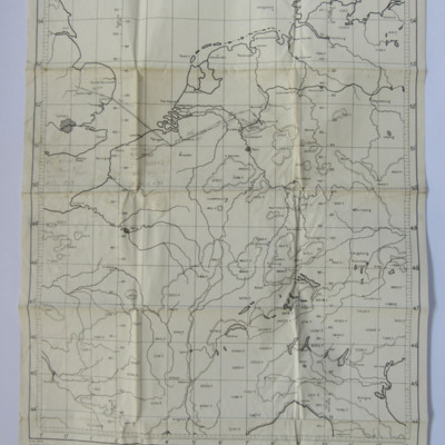
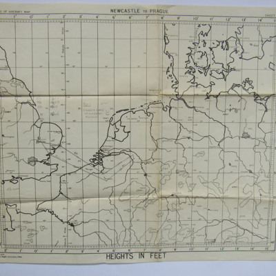
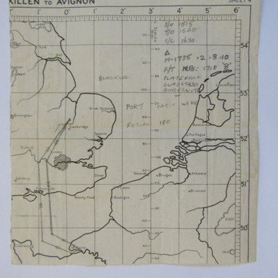
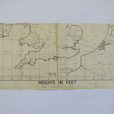
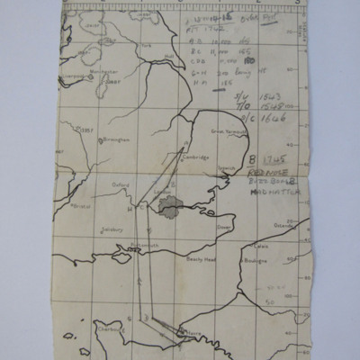
Planning Chart from Waterbeach to Duisburg to Mepal
A planning chart from Waterbeach to Duisburg then returning to Mepal. On the reverse are annotations about heights and the use of window.
Tags: aircrew; bombing; navigator; RAF Mepal; RAF Waterbeach
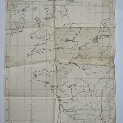
Planning Chart for an operation to West Germany
A planning chart for a route from Waterbeach to West Germany then Mepal. On the reverse are handwritten latitudes and longitudes.
Tags: aircrew; bombing; navigator; RAF Mepal; RAF Waterbeach

