Browse Items (1413 total)
- Tags: aerial photograph
Sort by:
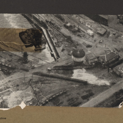
Dry dock at Brest
Aerial incline view of railway lines and dock. Top left is a dock basin containing a large floating object with a small boat alongside the bottom side. Three railway lines go from left to right each with lines of goods wagons.Right centre is tower…
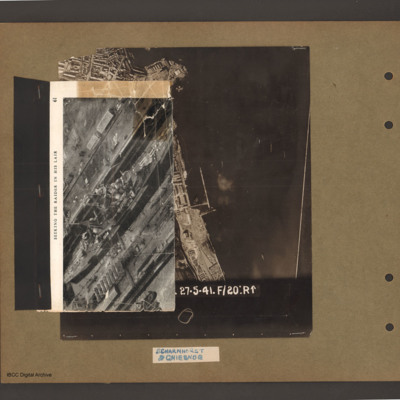
Scharnhorst and Gneisenau
On top an aerial inclined photograph of a warship inside a dock with moles either side. Title 'Seeking the raider in his lair'. Underneath an aerial vertical photograph of a coastline lined with dock facilities and buildings running top to bottom. At…
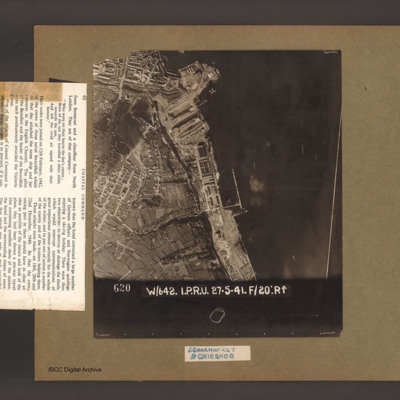
Scharnhorst and Gneisenau
An aerial vertical photograph of a coastline lined with docks and buildings. At the top and inlet with docks and town buildings to its left. Below a peninsular are three docks pointing down and left. A large warship is moored in the bottom dock. Just…
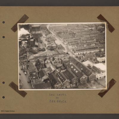
Schiedam docks
Aerial inclined photograph of a town. At the bottom several large multistory buildings orientated upwards and slightly left a factory with dwellings to the left. In the top right rows of single story residences. At the top left a factory with chimney…
Tags: aerial photograph
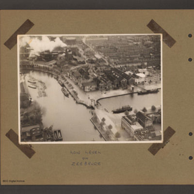
Schiedam docks
An aerial incline photograph of docks and town. At the bottom two dock basins are joined by a narrow passage with small lifting bridge. There are a number of barges moored in both basins. Top left is a factory with smoking chimneys and two gas…
Tags: aerial photograph
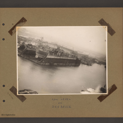
Floating dock at Zeebrugge
An aerial inclined photograph of docks. In the centre left a floating dock containing a ship. To the right of dock other floating dockyard machinery and some small moored boats. Various cranes and other unloading equipment are visible. Captioned 'Low…
Tags: aerial photograph
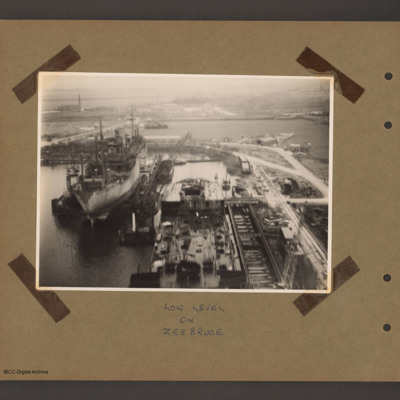
Floating Dock at Zeebrugge
An aerial inclined photograph of two floating docks with ships. At the bottom centre the rear half of a ship in a floating dock with an open cargo hold at the rear. There are cranes bottom right and at the rear left side. To the left and further back…
Tags: aerial photograph
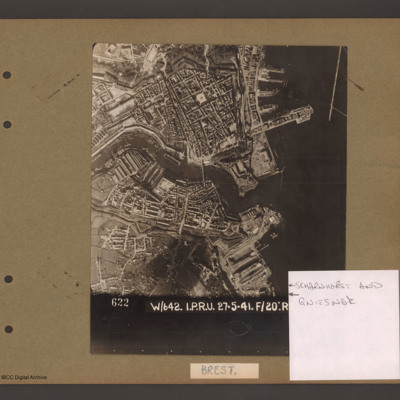
Scharnhorst and Gneisenau
Aerial vertical photograph showing a coastal town with docks on the coast and a river running through the middle. On the right open water with a breakwater in the top right corner pointing down. Above the river on the four large jetties point into…
Rotterdam Docks
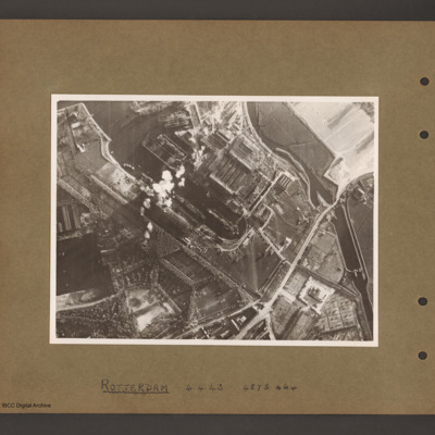
An aerial vertical photograph of docks. On the right a series of interconnected canals and basins. A road runs from top right to middle bottom crossing the canal over narrow channel. A large basin goes from top left to the centre with several ships…
Rotterdam Docks
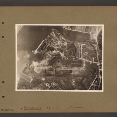
Aerial vertical photograph of docks. A wide river runs from top centre diagonally to bottom left. At the top an inlet and on the right side a road runs top to bottom. Below the inlet and between road and river is a large basin with docks running off…
Rotterdam Docks
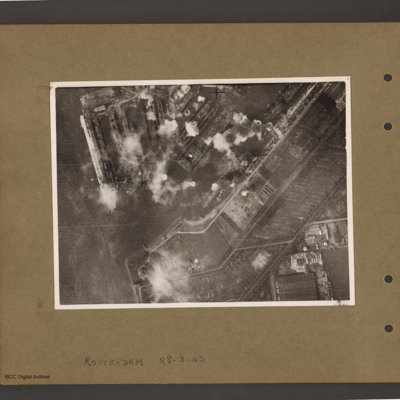
Aerial vertical photograph of docks. On the left a river with opening to a dock basin. A number of docks with jetties lead of on the top side of the basin. There is a ship moored on the left of the second dock from left. A series of bomb explosions…
Rotterdam Docks
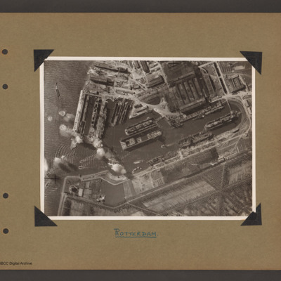
Aerial vertical photograph of Wilton Shipyards. On the left the Nieuwe Maas river with entrance to Vijfsluizen basin (Wiltonhaven). Several small craft are leaving it and spreading out on the river. Just inside the entrance, on the top side, several…
Zeebrugge Dock
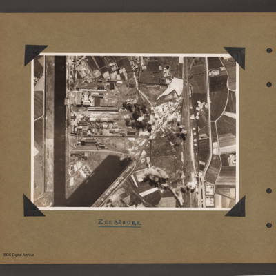
Aerial vertical photograph of dock area. On the left a canal running vertically from top to bottom. At the bottom an inlet dock runs towards the centre. On the left side of the inlet six tanks and two small ships moored on jetties. Above the inlet…
Zeebrugge
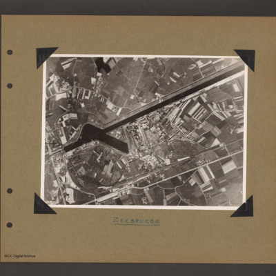
Aerial vertical photograph of canal and dock basin. A canal runs from top right to centre left. At the left end is a basin runing from the canal towards the bottom right. To the right of the basin is an industrial area. Below the industrial area…
Morlaix airfield
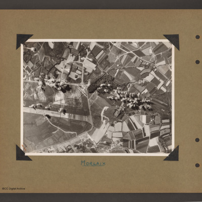
Aerial vertical photograph of open countryside with an airfield marked out on the left side. A perimeter track runs from middle left around the airfield ending at bottom left. There is a loop taxiways from the top right of perimeter track leading to…
Boulogne marshaling yards
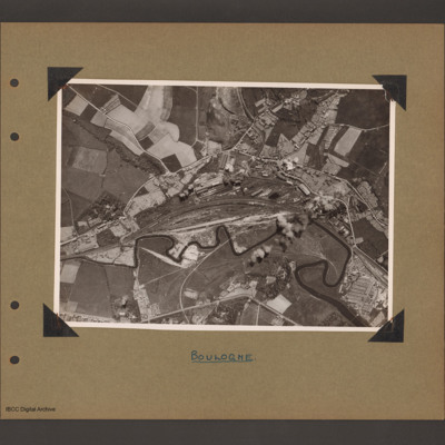
Aerial vertical photograph showing railway running from left to right with a large marshalling yard in the centre. A small river wanders along the bottom of the railway from left to right. Above the marshalling yard are long buildings with possible…
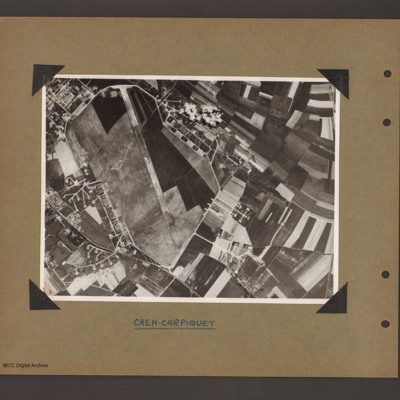
Caen-Carpiquet Airfield
Aerial vertical photograph of an airfield. Airfield fills left hand side with runway 13/31 running from bottom to top and a perimeter track running all the way round. The is a square section of buildings off the top left of the airfield and a series…
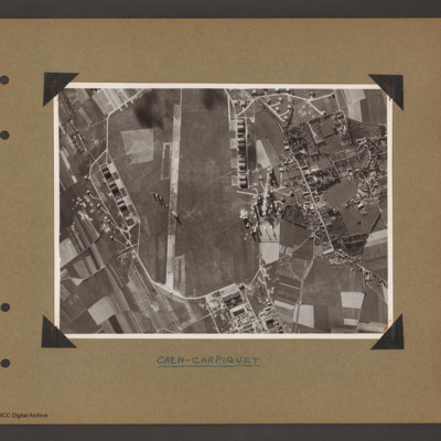
Caen-Carpiquet Airfield
Aerial vertical photograph showing an airfield. Airfield fills left two thirds with runway running vertically up. Runway 31 is at the bottom with a square area of buildings just outside the perimeter track to the right. There is are complex of…
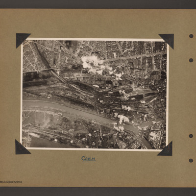
Caen marshalling yard
Aerial vertical photograph of a town with marshalling yard. A river/canal runs from halfway up on the left to bottom right. A railway line runs from top left into a large marshalling yard in the centre right which contains a large amount of rolling…
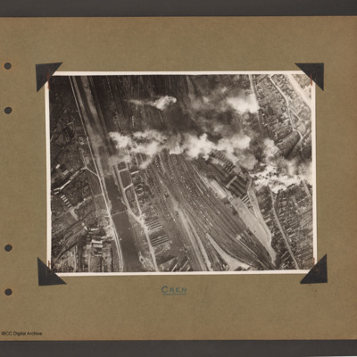
Caen marshalling yard
Aerial vertical photograph showing a large marshalling yard filled with rolling stock in a town. A canal/river runs up the left hand side with marshalling yard to the right. The main part of the town is to the right of the railway. A long line of…
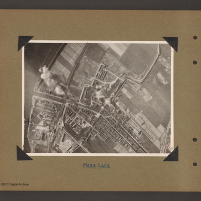
Maassluis
Aerial vertical photograph of a town with dock basin. The river Maas runs down the left side. A canal runs from the river on left to the centre where it turns left into a doack basin surrounded by a town. A narrow canal leads from the top right…
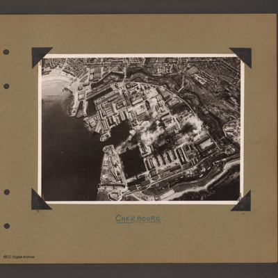
Cherbourg Docks
Aerial inclined photograph showing docks surrounded by town. To the left open sea with beach at the top. In the centre three interconnected dock basins, the bottom left one with a divider, surrounded by dockyard buildings and installations. A series…
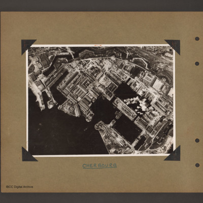
Cherbourg docks
Aerial vertical photograph of docks. To the bottom left open sea. In the centre two interconnected dock basins the bottom one is divided into three by cross piers. There is a further basin above and to the left. All basins are surrounded by dockyard…
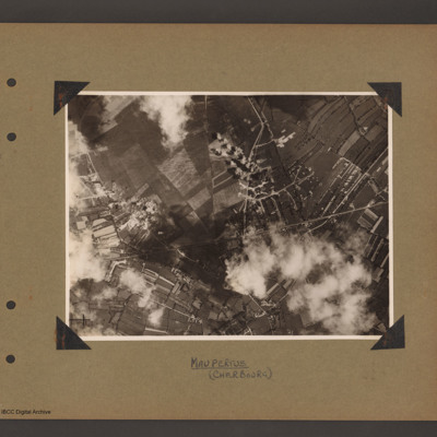
Maupertus airfield Cherbourg
Aerial vertical photograph showing open countryside. A road runs from left diagonally slightly up to the right side middle. There is a junction half way along where another road leads off upward to the top. Bomb explosions are visible. Captioned…
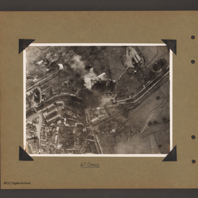
St Omer Canal
Aerial vertical photograph of a canal and town. A canal meanders from mid left to right. There is a road bridge on the left side leading to an industrial area and town below the canal. A railway runs from just above the canal on the left to top…

