Browse Items (810 total)
- Spatial Coverage starts with "Atlantic Ocean"
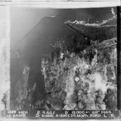
Le Havre
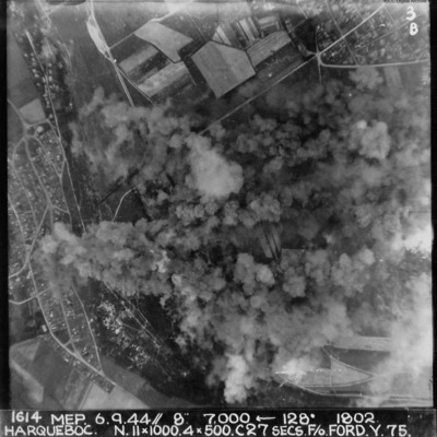
Harqueboc
Letter to Joan Wareing from Alan Buppinger
A Dorricott's army diary
Tags: animal; military living conditions
Operational notes
Tags: 514 Squadron; 582 Squadron; 7 Squadron; aircrew; anti-aircraft fire; bombing; bombing of the Juvisy, Noisy-le-Sec and Le Bourget railways (18/19 April 1944); Bombing of Trossy St Maximin (3 August 1944); flight engineer; Heavy Conversion Unit; Lancaster; Lancaster Mk 2; Lancaster Mk 3; Martinet; Master Bomber; missing in action; navigator; Normandy campaign (6 June – 21 August 1944); Operational Training Unit; Pathfinders; pilot; RAF Little Staughton; RAF Warboys; RAF Waterbeach; tactical support for Normandy troops; training; V-1; V-weapon; Window
Sparks in the air - Jack Smith's wartime story
Tags: 1661 HCU; 17 OTU; 189 Squadron; Advanced Flying Unit; aircrew; Anson; Battle; Blenheim; bombing of Dresden (13 - 15 February 1945); Cook’s tour; crewing up; Dominie; Heavy Conversion Unit; Lancaster; Lancaster Finishing School; military living conditions; Morse-keyed wireless telegraphy; Operation Exodus (1945); Operational Training Unit; Proctor; RAF Bramcote; RAF Compton Bassett; RAF Fulbeck; RAF Llandwrog; RAF Madley; RAF Milltown; RAF Padgate; RAF Silverstone; RAF Syerston; RAF Turweston; RAF Winthorpe; RAF Woodbridge; recruitment; Scarecrow; Stirling; training; Wellington; wireless operator
Sparks in the air - Jack Smith's wartime story
Tags: 1661 HCU; 17 OTU; 189 Squadron; Advanced Flying Unit; aircrew; Anson; Battle; Blenheim; bombing; bombing of Dresden (13 - 15 February 1945); Cook’s tour; crewing up; Dominie; Heavy Conversion Unit; Lancaster; Lancaster Finishing School; love and romance; military living conditions; Morse-keyed wireless telegraphy; Operation Exodus (1945); Operational Training Unit; Proctor; RAF Bramcote; RAF Compton Bassett; RAF Fulbeck; RAF Llandwrog; RAF Madley; RAF Milltown; RAF Padgate; RAF Silverstone; RAF Syerston; RAF Turweston; RAF Winthorpe; RAF Woodbridge; recruitment; Stirling; training; Wellington; wireless operator
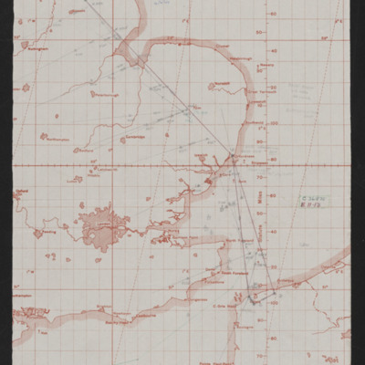
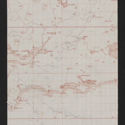
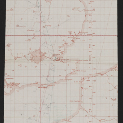
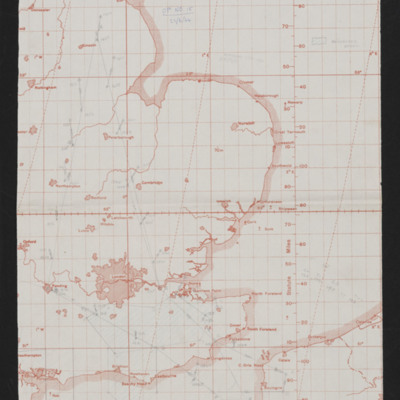
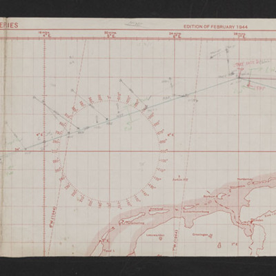
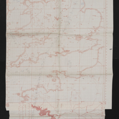
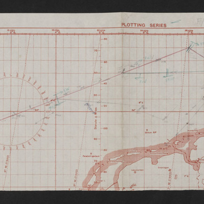
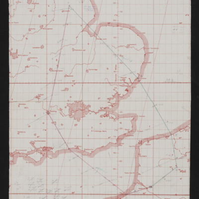
Navigation chart - operation number 6
Tags: aircrew; bombing; navigator; RAF Wickenby
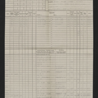
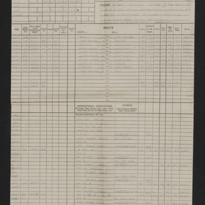
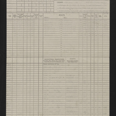
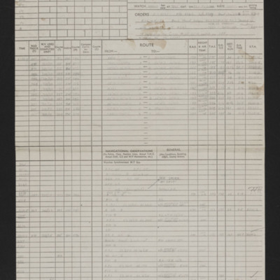
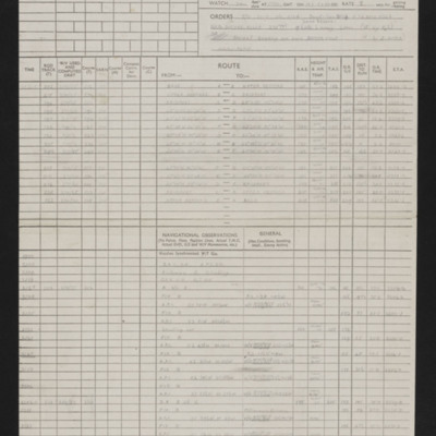
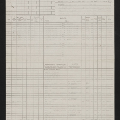
Navigation log Op No 6
Tags: aircrew; bombing; navigator; RAF Wickenby
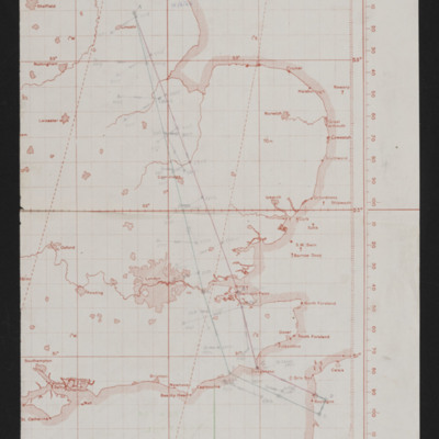
Navigation chart - operation number 7
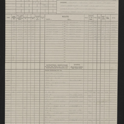
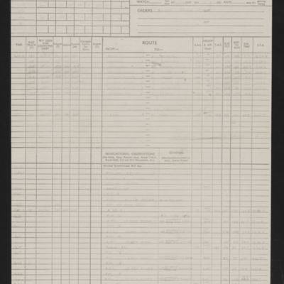
Navigation log - Op No 7
Navigation chart - operation number 12
Navigation log - Op No 12
Navigation chart - operation number 13
Navigation log - Op No 13
Navigation chart - operation number 15
Navigation chart - operation number 21
Tags: aircrew; bombing; navigator; RAF Wickenby
Navigation log - Op No 21
Tags: aircrew; bombing; navigator; RAF Wickenby
Navigation chart - operation number 26
Tags: aircrew; mine laying; navigator; RAF Wickenby
Navigation log - Op No 26
Tags: aircrew; mine laying; navigator; RAF Wickenby
Navigation chart - operation number 28
Tags: aircrew; bombing; navigator; RAF Wickenby
Navigation log - Op No 28
Tags: 12 Squadron; aircrew; bombing; navigator; RAF Wickenby

