Browse Items (1442 total)
- Tags: aerial photograph
Sort by:
Dresden
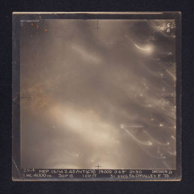
Target photograph of Dresden. No ground details are visible but the glare from fires on the ground are visible through the smoke. There are some bright spots and trails of light on the right. It is annotated "5B" and captioned: "2914. MEP.…
Dreux Rail Facilities
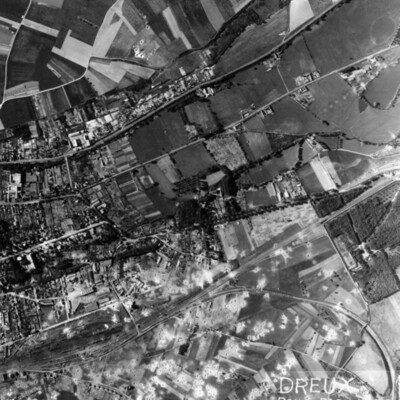
A vertical aerial photograph of Dreux, with rail facility in lower left quarter. Main line runs from rail facilities to top right, with secondary line veering off to the right and curving down to bottom right hand corner. Town is above the railway,…
Dry dock at Brest
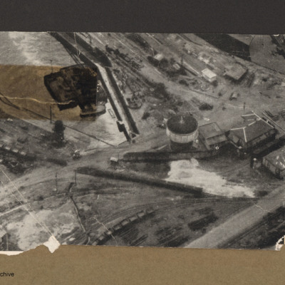
Aerial incline view of railway lines and dock. Top left is a dock basin containing a large floating object with a small boat alongside the bottom side. Three railway lines go from left to right each with lines of goods wagons.Right centre is tower…
Duisberg
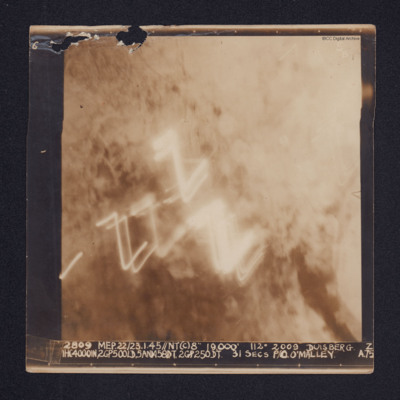
A target photograph of Duisburg. Cloud or smoke obscures the ground and there are several light trails in the centre of the photograph.
It is annotated "5B" and captioned: "2809 MEP. 22/23.1.45//NT(C)8" 19,000' 112º 2009 DUISBERG [sic]. Z…
It is annotated "5B" and captioned: "2809 MEP. 22/23.1.45//NT(C)8" 19,000' 112º 2009 DUISBERG [sic]. Z…
Duisberg
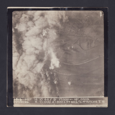
Target photograph taken on an operation to Duisberg. Left hand side is obscured by smoke or cloud and several bomb explosions can be seen. The Rhine river runs across the image, just below half height and there is built up area towards top of…
Duisberg
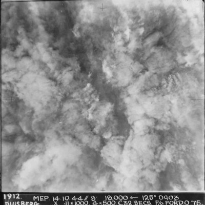
A vertical aerial photograph taken during the bombing of Duisberg. The entire image is obscured by explosions and smoke. Annotated '1912 MEP 14.10.44// 8” 18000 [arrow] 125[degrees] 0903 DUISBERG. X 11 x 1000. 4x500. C32 SECS. F/O FORD. O.75'.
Duisberg
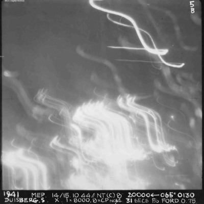
A vertical aerial photograph of Duisberg taken during a night operation. The lower half of the image is obscured by anti-aircraft fire. The top half has no clear detail. annotated '1941 MEP 14/15.10.44// NT (C) 8” 20000 [arrow] 065[degrees] 0130…
Duisburg
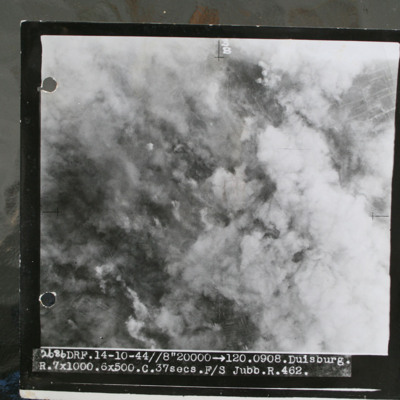
Target photograph showing smoke from bomb explosions and fires. Captioned '2686 DRF.14-10-44//8" 20000 >120.0908.Duisburg, R.7x1000.6x500.C.37 secs.F/S Jubb.R.462.".
This item was sent to the IBCC Digital Archive already in digital form. No better…
This item was sent to the IBCC Digital Archive already in digital form. No better…
Duisburg
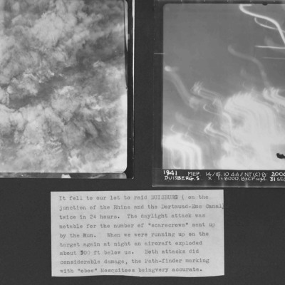
Two vertical aerial photographs of Duisberg. Two operations in 24 hours to the same location. The caption comments on the large number of ' "scarecrows" sent up by the Hun'.
Photo 1 is a daylight image with all the details obscured by explosions…
Photo 1 is a daylight image with all the details obscured by explosions…
Dunkirk docks
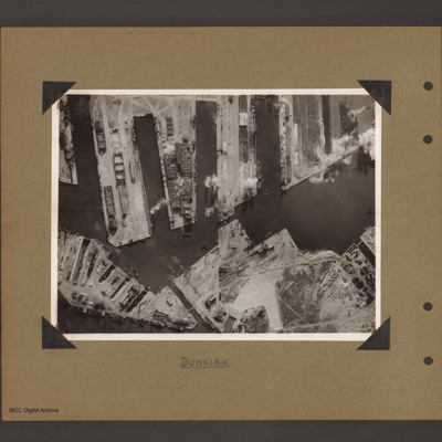
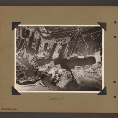
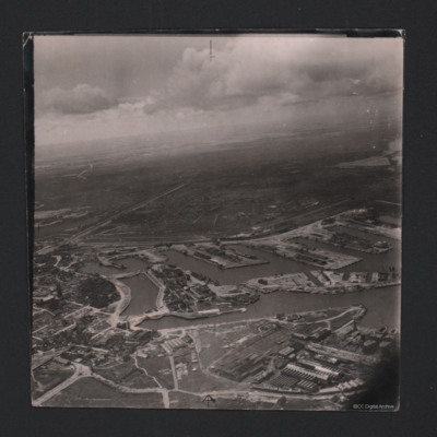
Aerial vertical photograph of docks. Along the top four moles below which an interconnected water way. Below is land with a narrow water passage slanting down towards the centre bottom. The moles and land have various scattered dockyard…
Dunkirk docks
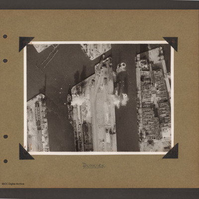
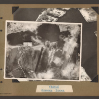
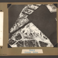
Aerial vertical photograph of docks. Three moles extend from the bottom to just over half way up. The right hand mole is covered with dockyard installations, the other two are mostly bare. Bomb impacts are visible in the water between the right hand…
Dunkirk docks
Aerial vertical photograph of interconnected dock basins. At the bottom centre an inlet slanting left. To its left a canal. To its right a spit of land with a narrow waterway leading to a large basin. To the right of the waterway a beach with…
Dunkirk Docks
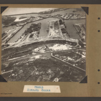
Oblique aerial photograph at low level showing docks, waterways, buildings and other port facilities. No vessels are visible. Across the centre four wide moles numbered 1 to 4 from right to left. The area has been heavily damaged with bomb craters,…
Dunkirk Docks
Target photograph of docks at Dunkirk. A body of water stretches from the left side to the top middle with a tidal flats at the left end. From the middle bottom up to the lower bank of the waters is Mole 6 with multiple railway sidings on the left…
Dunkirk Docks
Oblique aerial photograph of Dunkirk docks. The entire area has been extensively bomb damaged. In the bottom half, a triangular shaped area of dockland with roads and railway lines. There are several damaged buildings without roofs and destroyed…
Dunkirk Docks
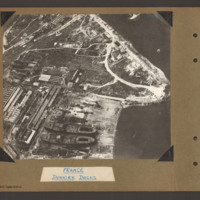
Oblique aerial photograph of docks. On the left side, docklands covered with buildings. On the right the land converges to a peninsular with water above and below. In the bottom centre a shipyard with two incomplete cargo ships with raised forecastle…
Tags: aerial photograph
Dunkirk Dockyard
Oblique aerial photograph of Dunkirk docks. Incomplete hulls of two oil tankers at bottom right, likely to be La Saône and La Seine. Extensive damage visible in the bottom left corner.
Identification kindly provided by Gareth Hughes, Christopher…
Identification kindly provided by Gareth Hughes, Christopher…
Tags: aerial photograph
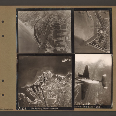
Dunkirk, Den Helder, Vlissingen and Ventura over Ijmuiden
Top left an aerial vertical photograph of Dunkirk docks. A river runs from the sea bottom centre in a curve to top centre. Docks with moles and basins are to the right and the town is to the left of the river.
Top right an aerial vertical…
Top right an aerial vertical…
Duren
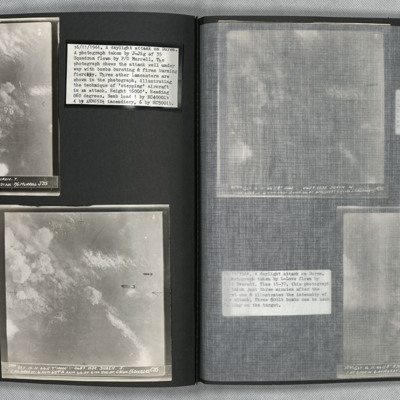
Photo 1 is a vertical aerial photo of Duren as the attack is underway. Two Lancasters can be seen on the right of the image. Photo 2 is a vertical aerial photo of the operation, one minute after the previous image. Two bombs are visible. Photo 3 is a…
Dusseldorf
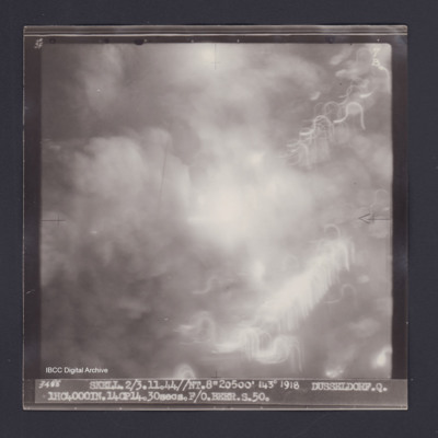
Target photograph of Dusseldorf. Totally obscured by smoke, dust and light streaks. Captioned '3degrees]F', '7B', '3488 SKELL.2/3.11.44//NT.8"20500' 143° 1918 DUSSELDORF.Q. 1HC4000IN.14CP14.30secs.F/O BEER.S.50.' On the reverse '[underlined] F/O…
Dusseldorf
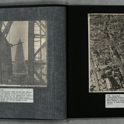
A low angle oblique aerial photograph of Dusseldorf showing heavy bomb damage to urban residential and industrial areas.
Tags: aerial photograph; bombing
Dusseldorf
Operation 33. Three Navigation log sheets recording the routes and observations. A plotting map showing the routes out to Dusseldorf and back.
A target photograph in which everything is obscured, mainly by illuminated smoke or cloud. Caption for…
A target photograph in which everything is obscured, mainly by illuminated smoke or cloud. Caption for…
Dusseldorf
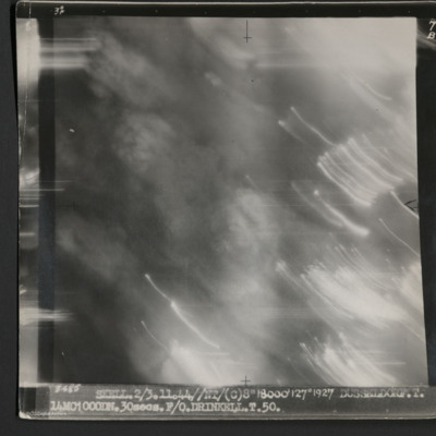
A vertical aerial photograph taken during an operation at Dusseldorf. No ground detail is visible.
It is captioned '3485 Skell 2/3.11.44//NT/(C) 8" 18000' 127° 1927 Dusseldorf. T. 14MC1000DN.30 secs. F/O Drinkell. T. 50.'
On the reverse is…
It is captioned '3485 Skell 2/3.11.44//NT/(C) 8" 18000' 127° 1927 Dusseldorf. T. 14MC1000DN.30 secs. F/O Drinkell. T. 50.'
On the reverse is…
Dusseldorf
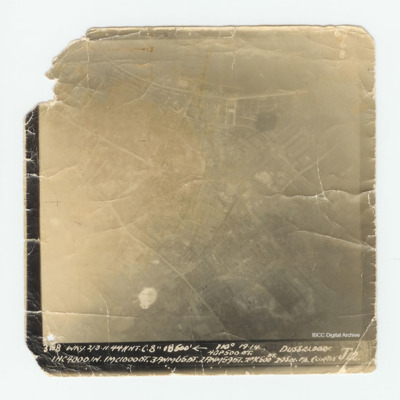
Target photograph of Dusseldorf with much of the detail over exposed. Captioned 'Captioned ' 60 6 B 3198 WKY. 2/3.11.44 // NT C'. 8" 18500' [arrow] 110° 19.14 Dusseldorf 4GP 500 OT. 1 HC 4000 1N.1MC10000T.3ANM650T. 2ANM590T.2MC 500 DT. 29 sec F/L…

