Browse Items (35363 total)
Sort by:
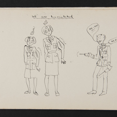
We are Innoculated
A cartoon of two WAAFs with throbbing arms after being inoculated by a medical officer.
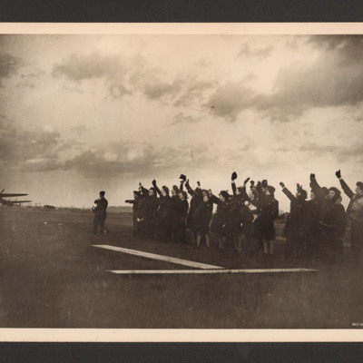
Waving aircraft off
Large group of personnel (one holding a dog) waving with Lancasters in the distance.
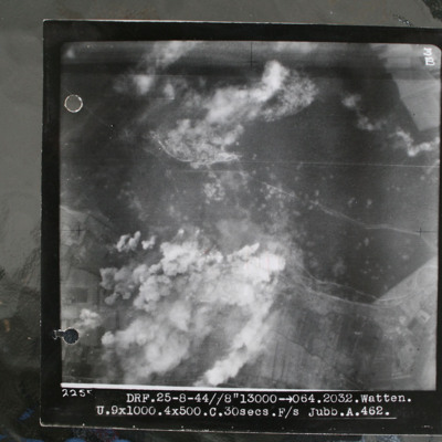
Watten V2 bunker
Target photograph showing forest area in top half with smoke from bomb explosions. Many craters are visible in this wooded area. Cleared area where tracks converge in this wooded area top centre, just edged by clouds. Bunker itself is just below and…
Watten [entry point]
This page is an entry point for a place. This entry is also used for Eperlecques, Blockhaus d'Éperlecques, Bunker of Éperlecques, Watten bunker, Watten V-2 site. Please use the links below to see all relevant documents available in the Archive.
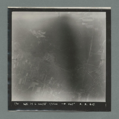
Watten
Target photograph showing open countryside with fields at the bottom and open area at the top. A road runs top to bottom on right and another left to right at bottom. Caption '174, WS, 19.6.44, 8" 17500, 047 X., X. 617'. On the reverse '51.95/16'.
Watten
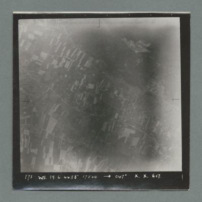
Target photograph showing open countryside with fields and a road running top left to bottom right. There is an open area with no fields top right. Caption '173, WS, 19.6.44, 8", 17500, 047, X., X., 617'. On the reverse '51:95/15'.
Watten
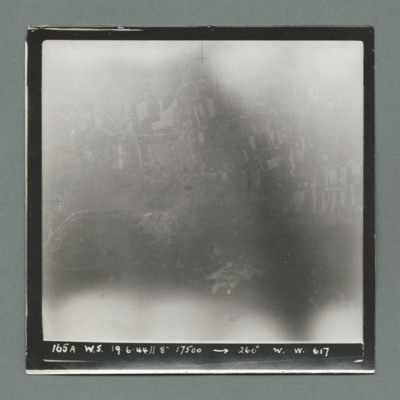
Target photograph showing open countryside with fields at the top. Caption '165A, WS, 19.6.44, 8", 17500, 260, W., W., 617'. On the reverse '51:95/14'.
Watten
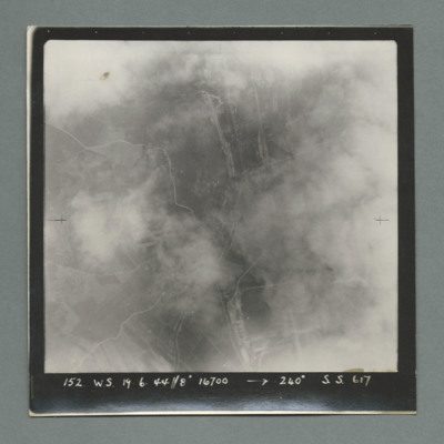
Target photograph partially obscured by cloud showing open countryside with some roads. Caption '152, WS, 19.6.44, 8", 16700, 240 degrees, S., S., 617'. On the reverse '51:95/13'.
Watten
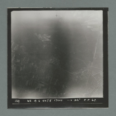
Target photograph showing open country with fields at the bottom and open area at the top. Caption '184, WS, 19.6.44, 8", 17000, 216 degrees, P., P., 617'. On the reverse '51:05/12'.
Watten
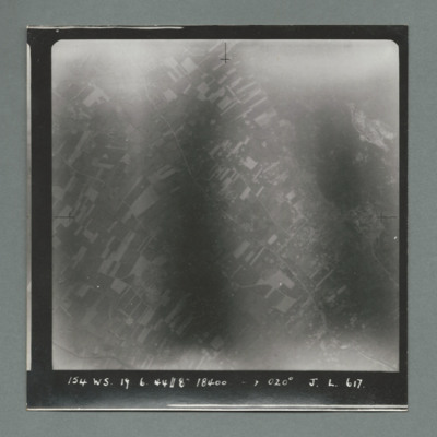
Target photograph showing open countryside with fields, Road runs top left to bottom right. Caption '154, WS, 19.6.44, 8", 020 degrees, J., L., 617'. On the reverse '51:95/11'.
Watten
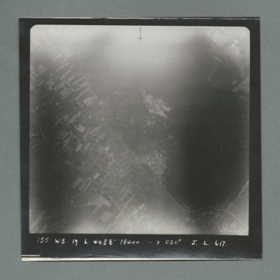
Target photograph showing open countryside with fields bottom left and an open area on the right. Roads run top left to bottom right. Caption '155, WS, 19.6.44, 18400, 020 degrees, J., L., 617'. On the reverse '51:95/10'.
Watten
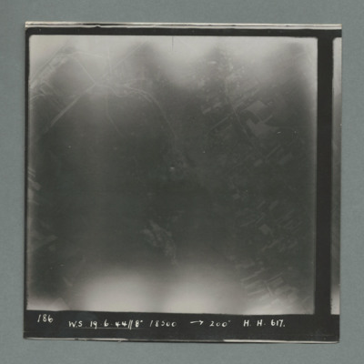
Target photograph showing open countryside. Caption '186, W.S., 19.6.44, 8", 18500, 200 dsegrees, H., H., 617', On the reverse '51:95/9'.
Watten
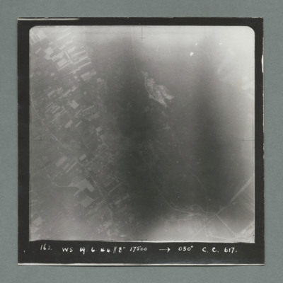
Target photograph showing open countryside with fields on the left and an open area on the right. Caption ' 162. WS, 19.6.44, 8", 17500, 030 degrees, C., C., 617'. On the reverse '51:95/8'.
Watten
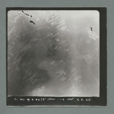
Target photograph showing open countryside with fields. Road runs top left top bottom right. Cap[tion '161, WS, 19.6.44, 8", 17500, 030 degrees, C., C., 617'. On the reverse '51:95/7'.
Watten
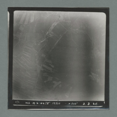
Target photograph showing open countryside with fields on the left. Caption '170, W.S., 19.6.44, 8", 18500, 200 degrees, B., B., 617'. On the reverse '51;95/6'.
Watten
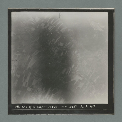
Target photograph showing open countryside with fields. Road runs top left to bottom right. Caption '196, W.S., 19.6.44, 8", 16500, 035 degrees, A., A., 617'. On the reverse '51:95/5'.
Watten
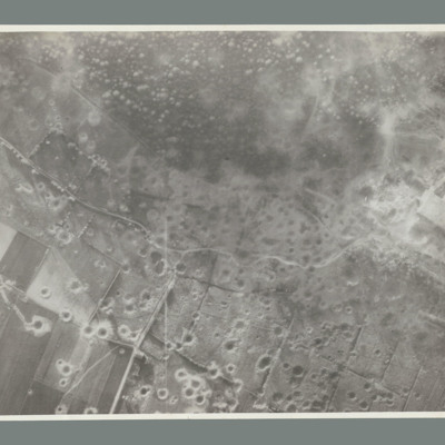
Reconnaissance photograph showing open countryside with fields. Road runs top left to middle right and another from middle to bottom. The whole bottom half of the image is covered with craters. On the reverse 'WATTEN. THE WHOLE TARGET AREA HAS BEEN…
Waterloo Bridge
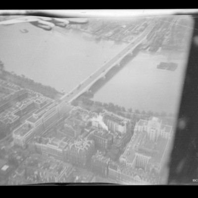
Air-to-ground view of Waterloo Bridge with the Thames running top left to right. An air-to-air view of the starboard wing and engines of a Lancaster with light paint scheme is visible on the top left edge.
Tags: aerial photograph; Lancaster
Waterloo [entry point]
This page is an entry point for a place. Please use the links below to see all relevant documents available in the Archive.
Waterlogged Campsite
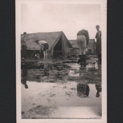
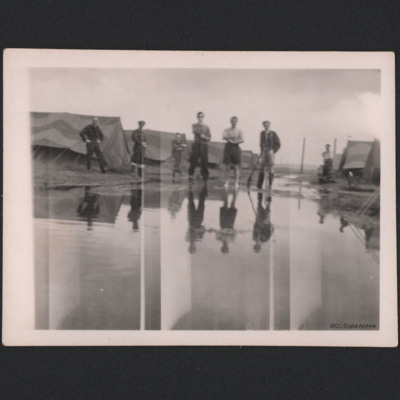
Two rows of tents with a large pool of water in between. Seven airmen are poised, one leaning on a shovel.
Watergate Bay, burning Wellington and trophies
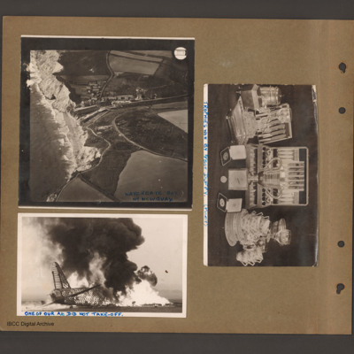
Top left an aerial incline photograph of cliffs and beach. On the left side cliffs and beach border the sea. In the centre a small village in a valley leading down to the beach. To the right open farmland. Caption 'Watergate Bay Nr…
Tags: aerial photograph; crash; take-off crash; Wellington
Waterford [entry point]
This page is an entry point for a place. Please use the links below to see all relevant documents available in the Archive.

