Browse Items (1413 total)

  • Tags: aerial photograph

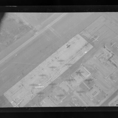
PPearceAT16010033.jpg
Vertical air to ground view of an airfield parking pan running top left to bottom right. Airfield buildings are also shown. Parked on the pan are Lancaster, B-29, C-57, Northrop P61, B-17 and Lockheed Constellation as well as other aircraft.…

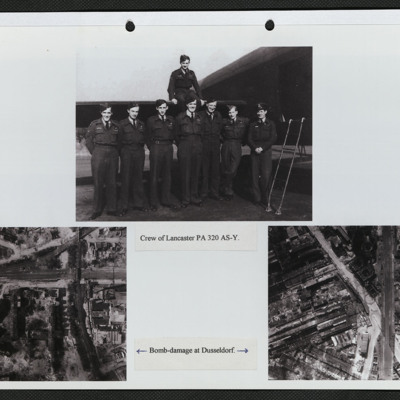
SRoyallGL1801494v10072.jpg
Three photographs mounted on a page.
Top: Eight aircrew in battledress, seven standing in a line by the open rear door of a Lancaster and one seated on the tailplane. It is captioned: 'Crew of PA 320 AY-S'.
Bottom left: Vertical aerial photograph…

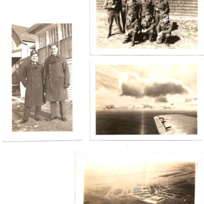
PHenningtonAJM17030005.jpg
Four photographs from an album.
#1 is two airmen standing in the sun outside a wooden building.
#2 is a loose group of airmen standing outside a wooden building.
#3 is an aerial view across an aircraft's wing into a low sun.
#4 is an oblique…

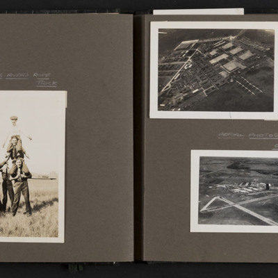
PMooreD16070025.jpg
Six photographs from an album. Photo 1 is an airman standing to attention, captioned 'Tough boy Bailey'. Photo 2 is a tower of three airmen on shoulders, watched by two others and captioned 'The Rivers Indian rope trick'. Behind is an Anson. Photo 3,…

PFordTA17110015.pdf
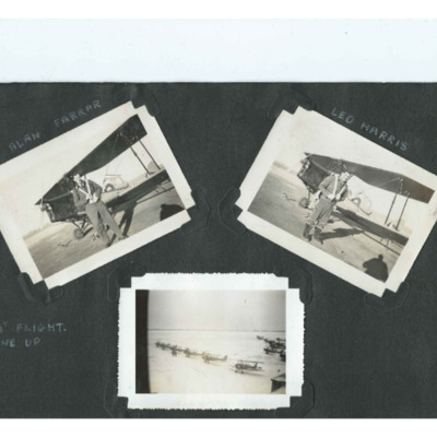
Three photographs from an album.
Photo 1 is Alan Farrar in flying kit, standing in front of a Tiger Moth.
Photo 2 is Leo Harris in flying kit, standing in front of a Tiger Moth.
Photo 3 is an aerial photgraph of several Tiger Moths parked on a…

PSearleROJ17030075.jpg
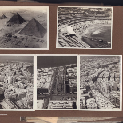
Five aerial photographs from an album.
Photo 1 is the three pyramids at Giza.
Photo 2 is of Stanley Bay, Alexandria with tiers of beach cabins.
Photo 3 is a of Alexandria city centre with a eleven story building. In the distance is a bay and a…

PBirdJH18010011.jpg
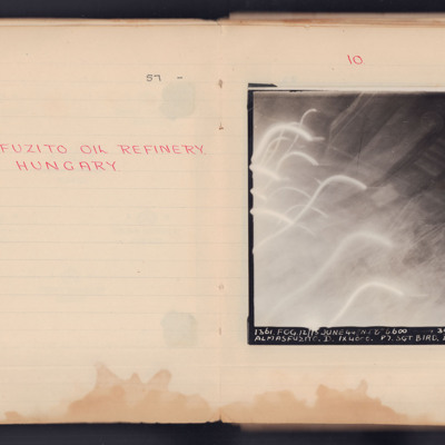
A target photograph taken during an operation to Almasfuzito. The left and bottom of the image are obscured by light trails and glare. To the right and upper areas the refinery and roads can be seen. It is annotated 'A4' and captioned:
'1361. FOG.…

SWeirG19660703v100001-0006.jpg
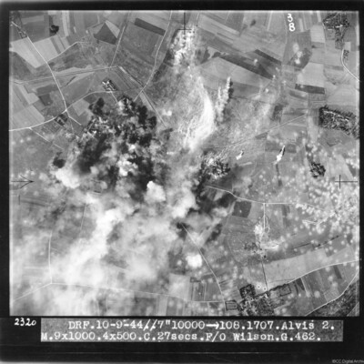
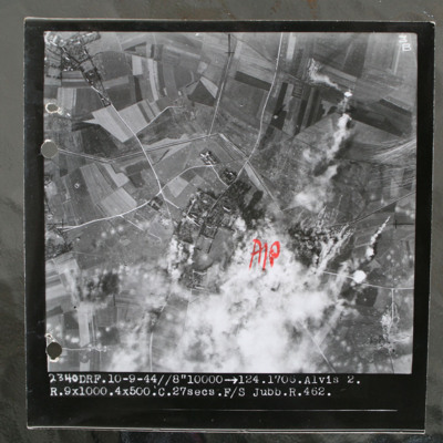
Target photograph of bombs exploding and obscuring target. Many bomb craters on the right side of image. Captioned 'DRF 10.9.44//7" 10000 > 108.1707.Alvis 2, M.9x1000.4x500.C. 27 secs. F/O Wilson G.462'.

This item was sent to the IBCC Digital…

SWeirG19660703v110004-0003.jpg
Target photograph of rural area with villages visible top left and centre with connecting roads and tracks. Annotated with "A/P" aiming point in red ink to right of centre which is obscured by smoke and target marker flares. Tank ditch zig zags…

PFordTA17030003.jpg
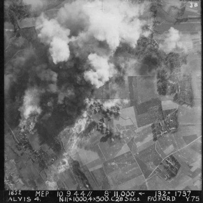
Vertical aerial photograph of Alvis, at Montvilliers, Le Havre. The centre section of the image is obscured by explosions. Annotated '1652 MEP 10/13.9.44// 8” 11,000 [arrow] 132[degrees] 1737 ALVIS 4. N.11x1000, 4x500 C.28 SECS. F/O FORD. Y.75'.

PStandivanAG17020055.jpg
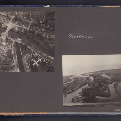
Four photographs, two air to ground, one showing Amsterdam canals near Rijksmuseum, the other near Muiden showing some flooded areas.
The second page has two photographs the first shows a crowd in a city street in Belgium, the second shows five…

PStandivanAG17020054.jpg
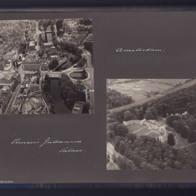
Two air to ground photographs, the first showing the Leidseplein area in Amsterdam with the Hirschgebouw building. Captioned 'Amsterdam'.
The second showing a large building in open country is captioned 'Princess Juleana [Juliana] Palace'.

BWagnerHWWagnerHWv2.pdf
An extremely detailed account of the No 51 Squadron briefing for the operation to Essen on 28/29 November 1944 by Henry. It includes all the specialist officers as well as the Station Commander's brief. It also includes Henry's crew, Station and…

PArrowsmithHL1605.jpg
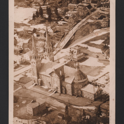
A low oblique aerial photograph of a church. There is snow in gardens and parks. On the reverse 'Ancienne Lorette Church P.Q. Each spire has a permanently lighted cross.'

PBanksP15020136.jpg
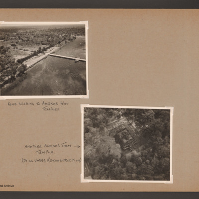
Photograph 1 is an oblique of a road across a lake captioned 'Road leading to Angkor Wat temples'.
Photograph 2 is a near vertical view of a temple captioned 'Another Angkor Thom temple (still under re-construction)'.
Photograph 3 and 4 are two…

PProbynEA17010059-00150001.jpg
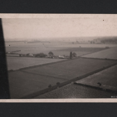
A oblique aerial photograph taken at low level. Fields and hedgerows are visible with some buildings to the centre including a tall structure described on reverse of photograph as "German Flak Tower, Holland." Part of the aircraft canopy is seen on…

PBanksP15010013.jpg
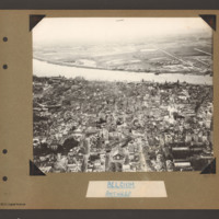
Oblique aerial photograph of Antwerp. The river Scheldt runs from left to right. On the far bank on the right there is a small built up area and a straight road runs from there into the distance. On the near bank a city with many multi storey…

PBanksP15010011.jpg
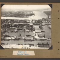
Oblique aerial photograph of Antwerp docks with the river Scheldte running from middle left to right. On the far bank are town buildings. In the distance open countryside on both banks. In the centre a canal leads from the river inland leading to…

PBanksP15010012.jpg
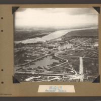
The river Scheldt runs from top left to right with town buildings on the far bank on the left and open country beyond. In the centre on the near bank a waterway with a barrier at the top leads from the river into a series of interconnected water…

PToombsSE15100001.jpg
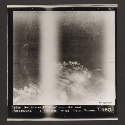
Vertical aerial photograph of bombing of Ardouval. The bottom half of the image is partially obscured by bomb explosions. Captioned '5656 BIN 25-7-44 //8 14000' [arrow] 125° 0843 Ardouval S 11x1000 4x500 c 30 secs P/O Lester T. 460'.

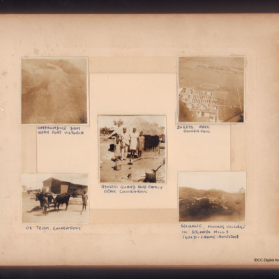
PPaineGH16010008.jpg
First aerial view of dam and lake, captioned 'Umshumdige Dam near Fort Victoria', Second aerial view of landing ground captioned '20 E.F.T.S. R.A.T.G. Guinea Fowl'.
Third family of four in front of their hut, captioned 'Askari guard and his family…

PPowellNI19030006.jpg
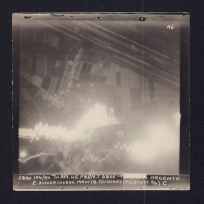
Target photograph showing fields in top half and town and roads below. Straight lines running top left to middle right are the River Reno and beyond it, the wider Canale Della Botte. Tracer lines in bottom left and explosions left and right bottom.…

SPowellNI1896919v10002-0004.jpg
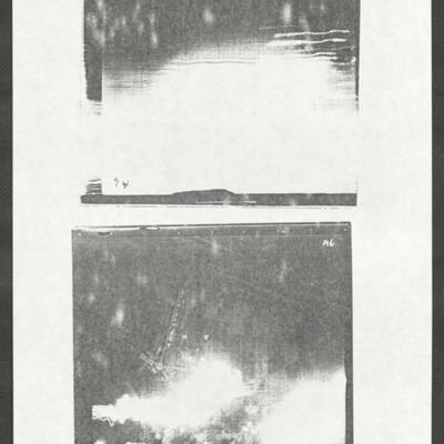
Two low quality target photographs of Argenta and Padua. The upper image (upside down) has no discernible detail and glare covers more than half. It is captioned:
104/71. 12/13 MARCH 45. F8"//8200 - 28 14.50 PADUA
W 4x1000. 8x500 MkIII 22. F/O WARD…

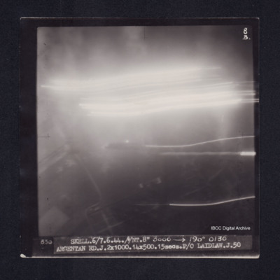
PHouriganM18030093.jpg
Target photograph of Argentan. Upper two thirds obscured by smoke or dust and light streaks. Urban with street patterns visible. Captioned '8B', '830 SKELL.6/7.6.44.//NT8" 3000 [arrow] 190° 0130 ARGENTAN RD.J.2X1000.14X500.15secs.P/O LAIDLAW.J.50'.…

PEleyNJ1622.jpg
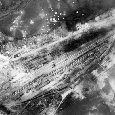
A vertical aerial photograph showing rail marshalling yard at Argentan. Road running parallel to railway tracks from lower left to upper right (now D158) with another joining from top left (now D238A). Argentan railway station is visible opposite…
Output Formats

atom, dc-rdf, dcmes-xml, json, omeka-xml, rss2