Browse Items (161 total)

  • Tags: Tallboy

MCheshireGL72021-181210-080010.jpg
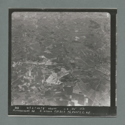
Target photograph showing open countryside with area covered in craters bottom right. There is an airfield on the left edge just below centre. Caption '367, W.S., 6.7.44, 8", 19000, 130 degrees, 1531, Mimoyecques RD, K1, 1 x 12000, C, 235 secs, F/L…

MCheshireGL72021-181210-080012.jpg
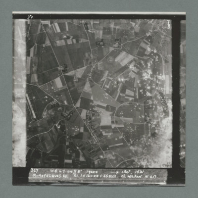
Target photograph showing open countryside with fields and roads. There is a large area with craters bottom right extending towards the top.There are other scattered craters throughout the image. Caption '367, W.S.,6.7.44, 8", 130 degrees, 1531,…

MCheshireGL72021-181210-080014.jpg
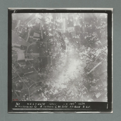
Target photograph showing open countryside with a large area on dense craters in the centre. Caption '367, W.S., 6.7.44, 8", 16800, 145 degrees, 1529, Mimoyecques RD, Z, 1 x 12000, C, 25 secs, F/O Ross, Z, 617'. On the reverse '51:97/7'.

MCheshireGL72021-181210-080016.jpg
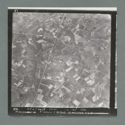
Target photograph showing open countryside with fields. There are prominent roads running bottom left to top centre and top right to left. Caption '372, W.S, 6.7.44, 8", 17000, 140 degree, 1530, Mimoyecques RD, T, 1 x 12000, C, 35 secs, F/L Willsher,…

MCheshireGL72021-181210-080018.jpg
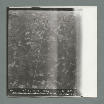
Target photograph showing open countryside with fields. Prominent roads run from top centre to bottom and left centre to right. Caption '376, W.S., 6.7.44, 8", 15800, 136 degrees, 1531, Mimoyecques RD, A, 1 x 12000, F/L Pryor, A, 617'. On the reverse…

MCheshireGL72021-181210-080020.jpg
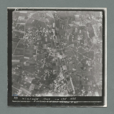
Target photograph showing open countryside with fields. Prominent road runs top centre to bottom and left centre to right. Craters are scattered over most of the image mostly left of centre line. Caption '377, W.S., 7.7.44, 17000, 178 degrees, 1535,…

MCheshireGL72021-181210-080022.jpg
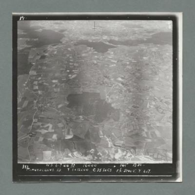
Target photograph showing open countryside with fields. There are forests in the centre and from left to right across the top. Caption '387, W.S., 6.7.44. 8", 16000, 141 degrees 1530, Mimoyecques RD, Y, 1 x 12000, C, 35 secs, F?L Stout, Y, 617'. On…

MCheshireGL72021-181210-080024.jpg
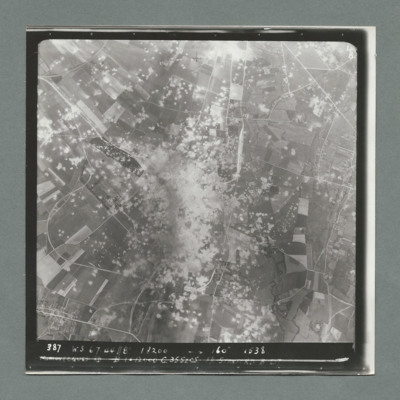
Target photograph showing open countryside with a large area with dense craters in the centre.Smoke can be seen in centre and top centre. Caption '387. W.S. 6.7.44, 8", 18200, 160 degrees, 1538, Mimoyecques RD, B, 1 x 12000, C, 35 secs, F/L Stanford.…

MCheshireGL72021-181210-080026.jpg
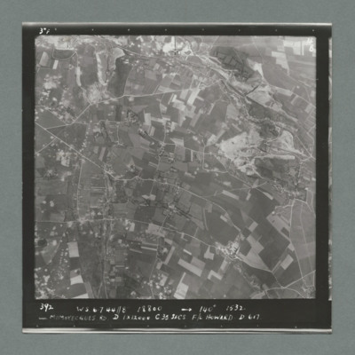
Target photograph showing open countryside with fields. Prominent roads run left to right. There are some craters scattered over the image. Caption '392, W.S., 6.7.44., 8", 18800, 140 degrees, 1532, Mimoyecques RD, D, 1 x 12000, C, 35 secs, F/L…

SGillK1438901v40008.jpg
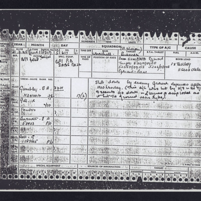
List crew and weapon (Tallboy) and target location. Notes 'shot down by enemy ground defences approx. 1000 today (This a/c was hit by H/7 in the T/A and seen to go down in flames and exploded as it hit the ground near Syke)'.

SCheshireGL72021v10079-0001.jpg
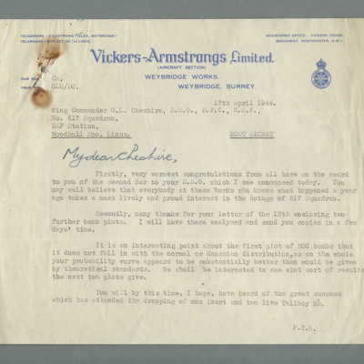
On Vickers-Armstrong headed paper classified most secret. Congratulates Cheshire on award of bar to Distinguished Service Order. Goes on to discuss bomb plots sent to Wallis. Concludes with statement on penetration depths of the new Tallboy bomb.…

MCheshireGL72021-181210-020016.jpg
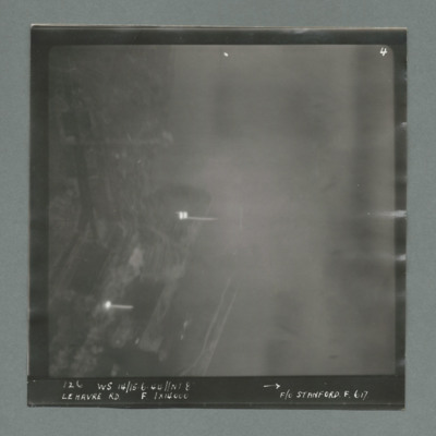
Target photograph showing harbour area on the left side with two bright marks centre and bottom left. Caption '126, WS 14/15.6.44, NT 8, Le Havre RD, F, 1 x 14000, F/O Stanford, F, 617'. On the reverse '1700, from Pens'.

MCheshireGL72021-181210-020018.jpg
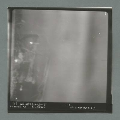
Target photograph showing harbour area on the left with bright spots top left quadrant and centre left. Caption '128, WS 14/15.6.44, NT 82, Le Havre RD, F, 1 x 14000, F/O Stanford, F, 617'. On the reverse '51:93/9'.

MCheshireGL72021-181210-020020.jpg
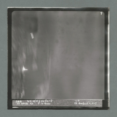
Target photograph showing harbour area on the left with bright spots top left quadrant and just below centre left. Caption '146, WS 14/15.6.44, NT8", Le Havre RD, J, 1 x 14000, P/O Gingles, L, 617'. On the reverse 53:93/10'.

MCheshireGL72021-181210-020022.jpg
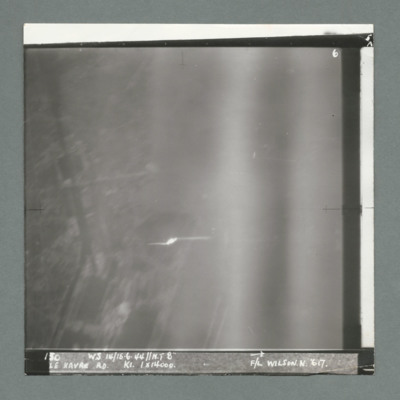
Target photograph showing built up area on the left and harbour area on the right. Bright spot centre one third way up. Caption '130, WS 14/15.6.44, NT 82, Le Havre RD, K1, 1 x 14000, F/L Wilson N, 617'. On the reverse 53:93/11'.

MCheshireGL72021-181210-020024.jpg
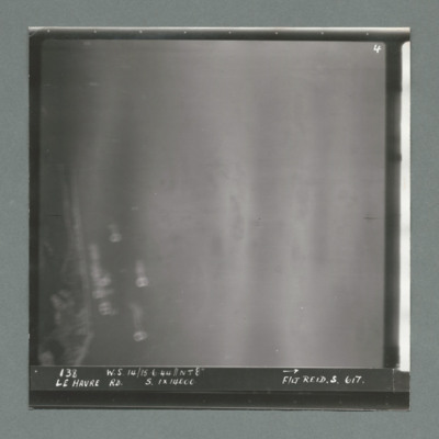
Target photograph showing coastline on the left. Caption '138, W.S 14/15.6.44, Le Havre RD, S, 1 x 14000, F/Lt Reid, S, 617'. On the reverse '53:93/12 Photo 159'.

MCheshireGL72021-181210-020026.jpg
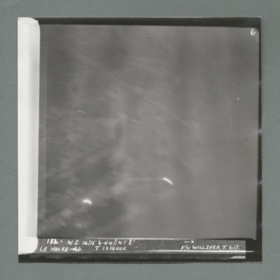
Target photograph showing bright spots bottom left and bottom centre. Caption '172, W.s. 14/15.6.44, NT 8", Le Havre, T, 1 x 14000, F/O Willsher, T, 617'. On the reverse '51:93/13'

MCheshireGL72021-181210-020028.jpg
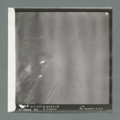
Target photograph showing two bright spots on left side. Caption '148, ,W.S. 14/15.6.44, NT 8", Le Havre RD, V, 1 x 14000, F/O Cheney, V, 617'. On the reverse '51/93/14'.

MCheshireGL72021-181210-020030.jpg
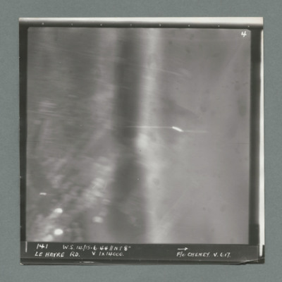
Target photograph showing bright spots bottom left and just right of centre. Caption '141, WS 14/15.6.44, NT 8", Le Havre RD, V, 1 x 14000, F/O Cheney, V, 617'. On the reverse '51:93/15'.

MCheshireGL72021-181210-020032.jpg
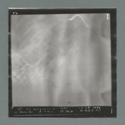
Target photograph blurred with built up area on left. Caption '137, WS 14/15.6.44, NT 8, 16700, 108 degree, 2234, Le Havre RD, Z, 1 x 14000, 15 secs, F/O Ross, Z, 617', On the reverse '500 yards 190 degrees'.

MCheshireGL72021-181210-020034.jpg
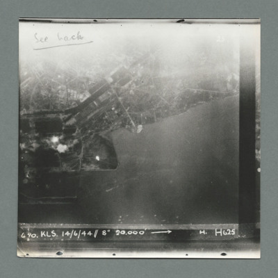
Target photograph showing land at the top and sea at the bottom with town and harbour centre. There are two bomb explosions visible left centre and a bright spot below them to the right.. Caption '6 90, KLS, 14/6/44, 8" 20000, H, H625'. On the…

MCurtisA1579599-161130-02.pdf
A memoir of an operation involving Len Curtis and his crew members. During the operation his aircraft was shot down and Len was captured. However, he was liberated by American soldiers and returned to London six weeks later.

This item was sent to…

PCruickshankG1502-0005.jpg
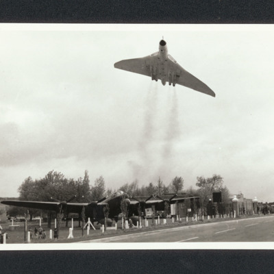
A Vulcan flying over the Lancaster gate guard at the entrance of RAF Scampton with trees behind. Tallboy and Grand Slam bombs are also visible beneath the Lancaster. To the right the gate posts, people and a bus. On the reverse 'Lancaster at Scampton…

LGillK1438901v1.pdf
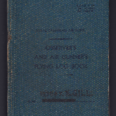
Observer’s and air gunner’s flying log book for K Gill, navigator, covering the period from 17 May 1942 to 21 March 1945 when he was missing on operations. Detailing his flying training, operations flown and instructor duties. He was stationed at…
Output Formats

atom, dc-rdf, dcmes-xml, json, omeka-xml, rss2