Browse Items (167 total)
- Tags: reconnaissance photograph
Sort by:
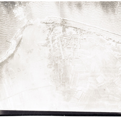
Westkapelle
Reconnaissance photograph showing coast with breached sea wall. Town in centre.
Dortmund-Ems Canal near Ladbergen
Reconnaissance photograph showing the canal running left to right with a destroyed river over canal bridge circles in the centre. Many bomb craters both sides of canal.
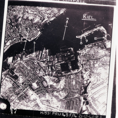
Kiel
Reconnaissance photograph of Kiel port area and city with targets indicated by arrows. Text above 'we were issued wit escape kit for [missing] consisting of currency and maps for [missing] flew over, emergency survival [missing] wakey pills and a…
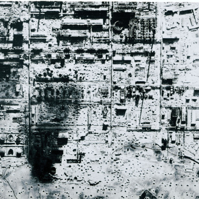
Bombed synthetic oil plant at Politz
Reconnaissance photograph of severely bomb damaged synthetic oil plant at Politz. Many bomb craters and destroyed buildings.
Targets
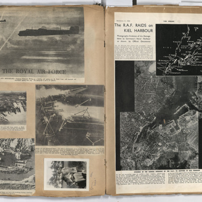
Left page: top, two flying Whitley aircraft passing over the Dutch coast.
Middle left, aerial view of Hamburg docks.
Middle right, bombing targets and fires in Gelsenkirchen.
Bottom left, bombing of Boulogne harbour.
Bottom right, a woman…
Middle left, aerial view of Hamburg docks.
Middle right, bombing targets and fires in Gelsenkirchen.
Bottom left, bombing of Boulogne harbour.
Bottom right, a woman…
Sorties Flown by James Foulsham in 57 Squadron
Research from 57 Squadron Operation Record Book.
Stettin
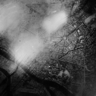
Reconnaissance photograph of Stettin. Urban area shown with the Centrum being clearly visible right of centre with roads radiating out. The West Oder river is to the middle left to bottom right of the photograph and parkland lower right above the…
Operations against Tirpitz, Ijmuiden and Bielefeld: Vielesible Viaduct
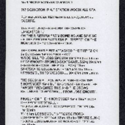
Description of three (one aborted due to weather) operations against Tirpitz, photograph of crew on return from sinking Tirpitz, poor photocopy of target photograph of attach on Tirpitz. Account of operation on E & R boat pens at Ijmuiden along with…
Book reviews and cartoon
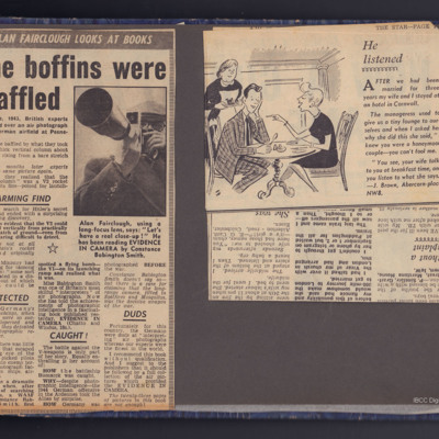
Three clippings from The Star, the first reviewing a book written by Constance Babington-Smith, Evidence in Camera describing the work done by the Photographic Interpreters.
The second a cartoon.
The third dated October 17th 1957 is a book review…
The second a cartoon.
The third dated October 17th 1957 is a book review…
Ijmuiden operation
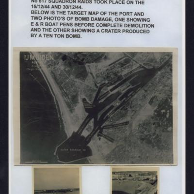
Top - description of ijmiden operations by 617 Squadron 15 and 30 December 1944.
Middle - reconnaissance photograph showing coast and port with harbour wall and basins in built up area.
Bottom left - b/w photograph of boat pens before…
Middle - reconnaissance photograph showing coast and port with harbour wall and basins in built up area.
Bottom left - b/w photograph of boat pens before…
Two air to ground photographs
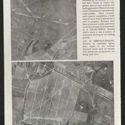
A press cutting captioned 'Retreat from the coast' taken in the summer of 1943 shows two coastal airfields Calaise/Marck and Abbeville/Drucat indicating that the Germans had started rendering their coastal airfields temporarily unserviceable.
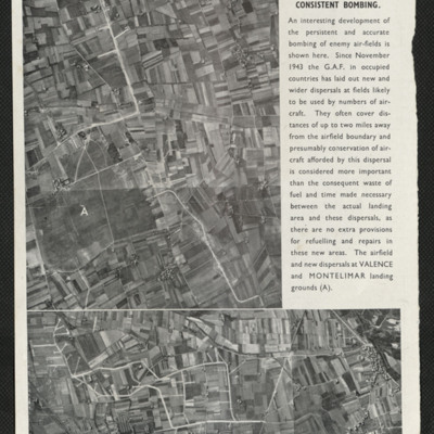
Press cutting, increased dispersal of enemy aircraft
Captioned 'Increased dispersal due to consistent bombing'. Two photographs, of Valence and Montelimar show satellite airfields to enable wider dispersal of German Air Force aircraft due to the airfield bombing policy.
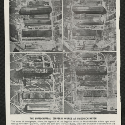
Zepplin works at Friedrichshaven
Four photographs captioned 'The Luftschiffbau Zepplin works at Friedrichshafen'. They show the same area over a period of time beginning in February 1943 and shows the works being camouflaged and eventually destroyed by bombing. The second page of…
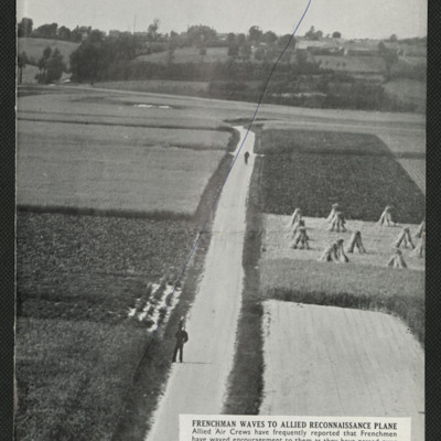
Two reconnaissance photographs, northern Europe, 1944
Two press cuttings. The first is captioned 'Frenchman waves to allied reconnaissance plane' and shows a road with two figures, one of them waving, the road running through small farmed fields, trees and more fields in the background.
The second is…
The second is…
Tirpitz and armoured vehicles
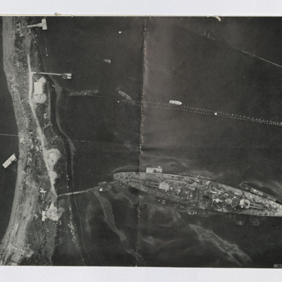
Two reconnaissance photographs. The first is low level of the Tirpitz moored stern on to the land. Jetty connects stern to land. Several other jetties are present and various smaller boats are moored or moving. Booms are seen above Tirpitz. Several…
Newspaper cutting - Le Havre forts were here
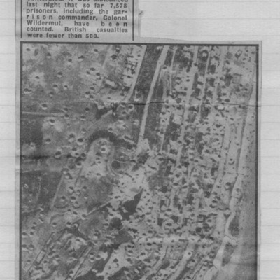
Reconnaissance photograph showing cratered landscape with caption explaining that this was part of fortress area of Le Havre after the RAF's 5,000 ton daylight attack.
Bomb damage
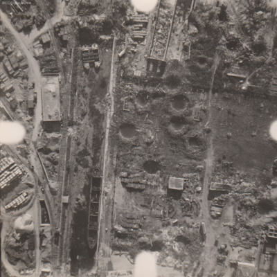
Reconnaissance photograph at low level of goods yard with significant bomb damage with craters and destroyed buildings throughout. A drained canal runs top to bottom with large barge aground against quay and another smaller pair tied together at top.…
Bombed city
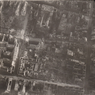
Reconnaissance photograph of part of a city with damaged buildings.
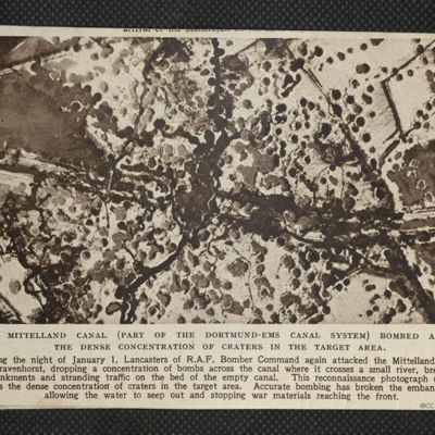
Mittelland Canal
Reconnaissance photograph showing concentration of bomb craters in the target area where canal crossed a small river.
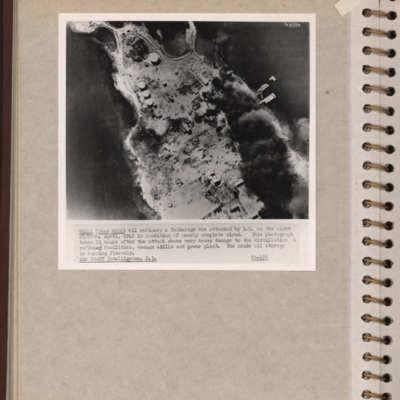
Vallo-Taneberg oil refinery
Reconnaissance photograph of an oil refinery on a peninsular with large plume of smoke from damaged oil tanks upper right area. Oslofjord is to the left with Prinds Christians Batterie just visible on the edge top left. Explanatory note underneath…
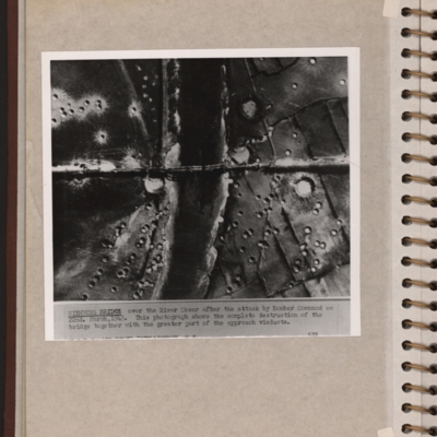
Nienburg Bridge after attack by 617 Sqn with Tallboys and Grand Slams
Reconnaissance photograph showing a river running top to bottom and a bridge crossing in the middle with several spans down. There are many craters on both sides of the river. Explanatory note 'NIENBURG BRIDGE over the river Weser after the attack by…
Leuna synthetic oil plant
Side by side reconnaissance photographs showing an industrial area with buildings, roads and towards the right, some railway sidings. This industrial area is orientated from lower left to top right. Chimney smoke is seen on the left hand photograph.…
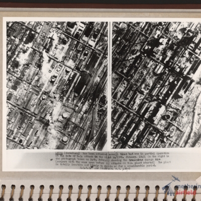
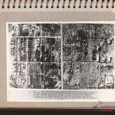
Zeitz Braunkohle-Benzin synthetic oil plant
Vertical aerial photographs showing on the left an industrial area with roads and buildings and on the right the same area with most of the structures destroyed. Explanatory text underneath 'Zeitz. The left hand photograph shows this synthetic oil…
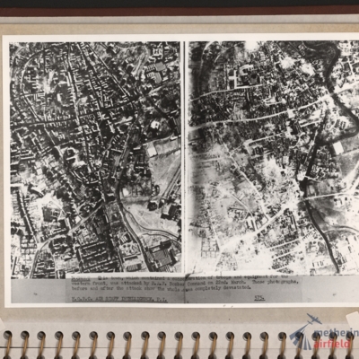
Bocholt
Left and right - side by side reconnaissance photographs showing the centre of the town of Bocholt with river Bocholter Aa flowing top to bottom with two distinctive bow’s to the right towards the top of the photograph. The large road crossing…
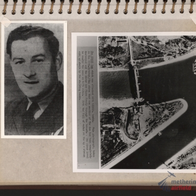
Flight engineer and Kembs dam
Left - full face portrait of an airman wearing tunic with flight engineer brevet. Submitted with description 'Full-face photo of unidentified flight engineer'. Right - reconnaissance photograph with text description of the Kembs dam across the Grand…


![SKnoxRW[Ser#-DoB]v30008.jpg SKnoxRW[Ser#-DoB]v30008.jpg](https://ibccdigitalarchive.lincoln.ac.uk/omeka/files/square_thumbnails/1956/41386/SKnoxRW[Ser -DoB]v30008.jpg)
