Browse Items (1442 total)

  • Tags: aerial photograph
PRidingRH21050052.jpg
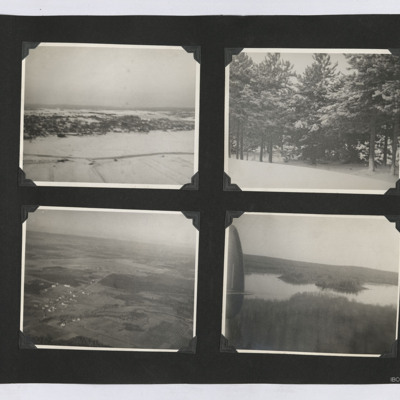
Four photographs from an album.
1. An aerial oblique view of a a settlement on a snow covered hill side.
2. A view of some snow-covered trees.
3. An oblique aerial view of an airfield and surrounding farms.
4. An oblique aerial view of a lake set…

PRidingRH21050053.jpg
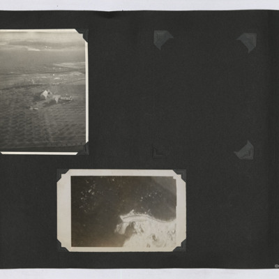
Two aerial photographs from an album.
1. An oblique aerial image of a farm with orchards.
2. A near vertical image of some coastline.

PRidingRH21050064.jpg
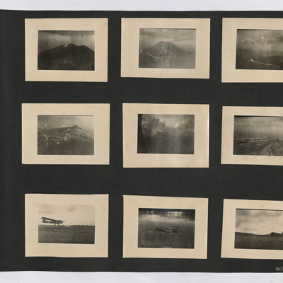
Nine photographs from an album. Starting at top left:
#1 is a view of a volcano with a smoke plume.
#2 is an oblique aerial view of Stromboli.
#3 is an oblique aerial view of an island. A beach with surf can be seen, as can the outline of the…

POatesJ1744.jpg
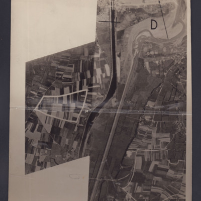
Two reconnaissance photographs of the area to the south and east of Ouistreham and Port de L'Orne. The two photographs overlap.
#1 which is marked "Neg No 38858" shows the Ouistreham Estuary at the top with the Canal de Caen a la Mer running top to…

PJolliffeFSW17100001.jpg
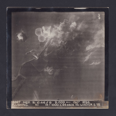
Target photograph taken during an operation to Flushing, Netherlands. Several bomb splashes in the water and smoke from explosions on the ground. Water is flowing through the sea wall at one point. The photograph is captioned:
2007 MEP 21.10.44 //…

PJolliffeFSW17100003.jpg
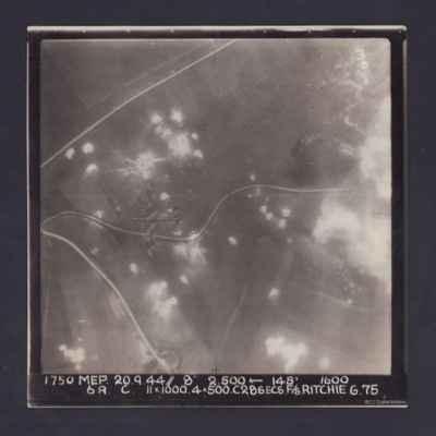
Target photograph. Fields and several minor roads visible. Much of the image is dotted with smoke from bomb bursts or Anti-aircraft fire and glare obscures right hand side. A Lancaster can be seen flying below. Annotated '3B' and captioned '1750 MEP…

PJolliffeFSW17100005.jpg
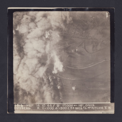
Target photograph taken on an operation to Duisberg. Left hand side is obscured by smoke or cloud and several bomb explosions can be seen. The Rhine river runs across the image, just below half height and there is built up area towards top of…

PJolliffeFSW17100007.jpg
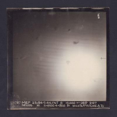
Target photograph of an operation to Neuss. Only a large area of glare, roughly in the middle, is visible. It is annotated '5B' and captioned:
'1787 MEP 23/24.9.44//NT 8" 19,000 ← 055 º 2127
NEUSS. H1. 11 x 1000. 4 x 500. 31 SECS. F/S…

PJolliffeFSW17100009.jpg
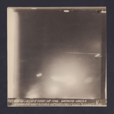
Target photograph for an operation to Dortmund - Hansa. An area of glare occupies the lower part of the image and there is another down the left side. The rest is in darkness and n ground detail is visible. The photograph is annotated '6' and…

PJolliffeFSW17100011.jpg
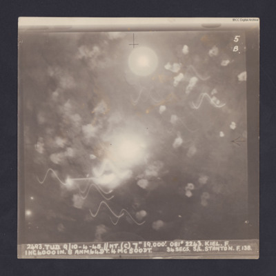
Target photograph for an operation to Kiel. It shows light trails and smoke, including multiple Flax bursts but no ground detail. It is annotated '5B' and captioned:
'2493. TUD. 9/10-4-45. //NT. (C). 7". 19,000'. 081 º 2243. KEIL. F.
1HC4000IN. 8…

PCowellLG1709.jpg
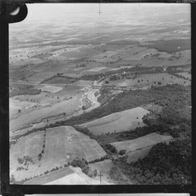
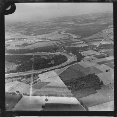
Aerial oblique photograph of a river flowing from bottom left to right middle. A bridge is visible.

PCowellLG1707.jpg
Two aerial photographs showing the River Maitland at Benmiller, Ontario. One is taken obliquely and shows several large bends in the river with the community of Benmiller at centre right. The sencond is a vertical aerial photograph showing the road…
PCowellLG1713.jpg
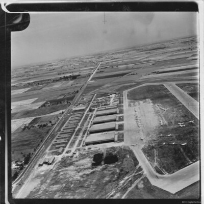
Oblique aerial photograph showing Port Albert Airfield in Ontario Canada with taxiways and hardstanding. Many Avro Anson aircraft in silver finish and lacking dorsal turrets, parked on airfield. Hangars and buildings to the left and a road (Bluewater…
PCuthillCR1804.jpg
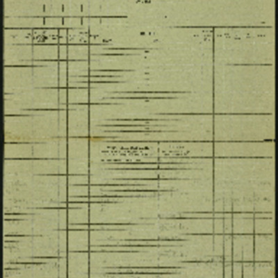
Target photograph for an operation to Cologne. It shows clouds of smoke rising up from several locations on the ground. Residential areas and roads are visible, as are some bomb craters in the fields. It is annotated '3B' and captioned:
'[…

PWebsterE1806.jpg
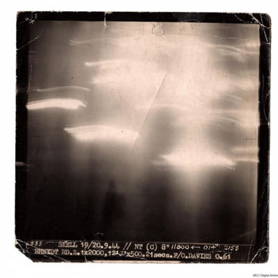
A target photograph taken on an operation to Rheydt. The ground detail is obscured by glare and light trails. Photograph is captioned:
'2533 SKELL 19/20.9.44 // NT (C) 8" 11000 ← 014° 2153
RHEYDT RD.Z. 1x2000, 12 'J' x 500. 21 secs. F/O.…

PWebsterE1807.jpg
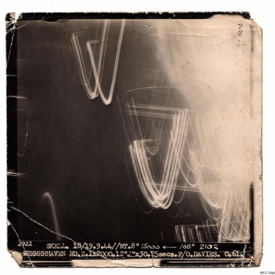
A target photograph for an operation to Bremerhaven. On the right there is illuminated smoke or cloud and some light trails. The rest of the image is dark and there is no ground detail. It is captioned:
'2922 SKELL. 18/19.9.44// NT. 8" 15000…

PWebsterE1808.jpg
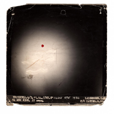
A target photograph taken on an operation to Ladbergen. There is a large area of glare with some trails of light but no ground detail.
It is annotated '7B' and captioned:
'3517 SKELL.4/5.11.44//NT.8" 11400' 074° 1936 LADBERGEN. Z. 14 ANM 65DN.…

SCockramJC419379v10033.jpg
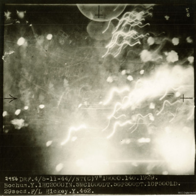
A target photograph taken on an operation to Bochum. Most of the image shows puffs of smoke and light trails but some ground detail can be seen through the haze. The photograph is annotated '5B and captioned:'2956 DRF. 4/5-11-44//NT(C) 7" 18000.…

SCockramJC419379v10032.pdf
Operation 33. Three Navigation log sheets recording the routes and observations. A plotting map showing the routes out to Dusseldorf and back.
A target photograph in which everything is obscured, mainly by illuminated smoke or cloud. Caption for…

SCockramJC419379v10030.pdf
Operation 31 for the crew. Three sheets of a Navigation Log showing the route to be taken to and from the target and the Observations made along the way. Part of a Plotting Map showing the route to and from Domburg on Walcheren Island. On the reverse…

SCockramJC419379v10027.pdf
Operation 28 for the crew. Two navigation sheets with only the Observations on route recorded. Part of a plotting map showing the route to and from Bochum.
A target photograph in which the ground is almost completely obscured by smoke or cloud. It…

SCockramJC419379v10025.pdf
Operation 26 for the crew. Three navigation log sheets showing the route to be taken and the observations made throughout the operation. The plotting map shows the coasts of England and Holland and the route to Sterkrade.
The target photograph…

PPowellNI19010040.jpg
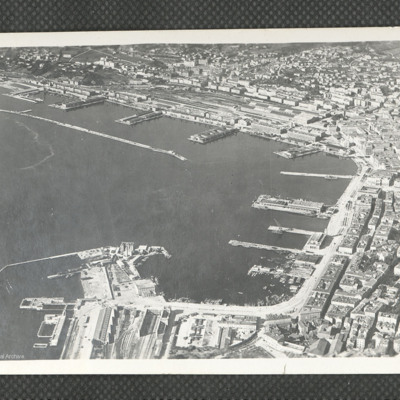
A clear oblique aerial photograph of Trieste ports, orientated with the NE at the upper edge. In the upper part of the photograph are the railway marshalling yard and quays of Porto Vecchio, together with the long breakwater. In the right hand area…
SCockramJC419379v10023.pdf
Operation 24 for the crew. Three navigation log sheets showing the route to be flown and the observations taken. A plotting map showing the route to the target. A target photograph in which a large area of bright light obscures everything on the…
Output Formats

atom, dc-rdf, dcmes-xml, json, omeka-xml, rss2