Browse Items (1442 total)
- Tags: aerial photograph
Sort by:
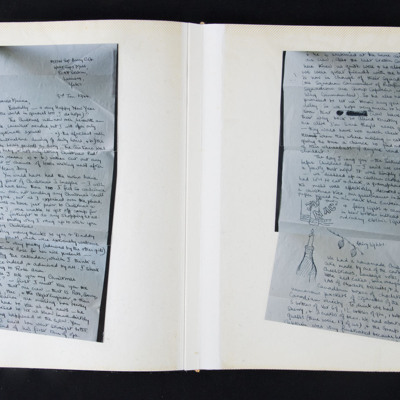
Letter from C G Barry to her mother and photographs
Letter mounted over seven album pages with envelope with last page of letter on seventh album page. Next page has four b/w photographs. Letter gives excuses for not having written. Catches up with family news. Explains they could not get off camp…
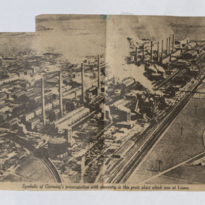
Leuna Chemical Plant
A newspaper cutting with an aerial photograph of the chemical plant at Leuna.
Tags: aerial photograph
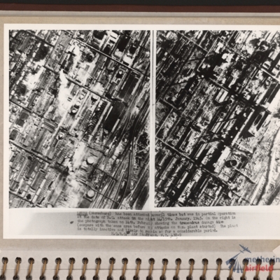
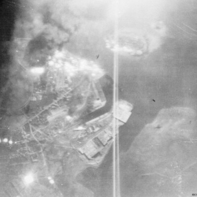
Leuna synthetic oil plant
Side by side reconnaissance photographs showing an industrial area with buildings, roads and towards the right, some railway sidings. This industrial area is orientated from lower left to top right. Chimney smoke is seen on the left hand photograph.…
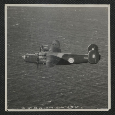
Liberator in Flight
Air-to-air view of the port side of a Liberator flying over the sea. Serial AL553. It is annotated '91 Nut.120.25.11.41. F/8 Liberator II A/G'
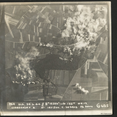
Ligescourt V-1 site
A target photograph during an operation at Ligescourt V-1 site. The village, tracks and woods to the south are visible. Explosions and smoke are seen on the village at top right and bottom left in the woodlands. Many craters in the fields around are…
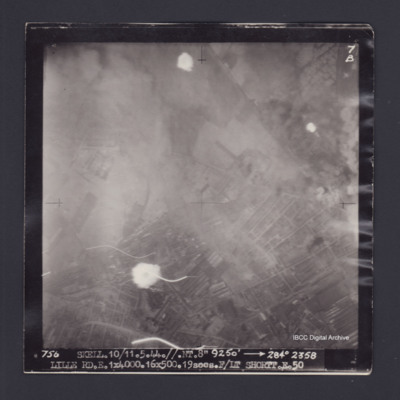
Lille
Target photograph of Lille. Partially obscured by smoke and dust, small number of light streaks. Urban area, street patterns and buildings visible. Captioned '7B', '756 SKELL.10/11.5.44.//NT.8" 9250' [arrow] 284° 2358 LILLE…
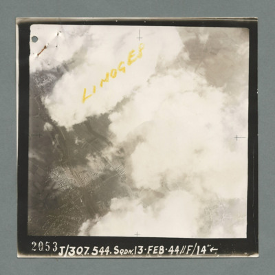
Limoges
Reconnaissance photograph showing buildings on the left through a gap in clouds. Captioned 'Limoges' On the bottom '2053, J/307.544 Sqdn. 13.Feb.44, //F/14"'. On the reverse 'K144'.
Limoges railway station and marshalling yard
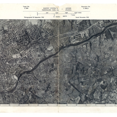
A reconnaissance photograph showing a large town with a river running from lower left to right. Just right of centre is a railway station with marshalling yard. A further marshalling yard is on the right side Both marshalling yards are indicated by…
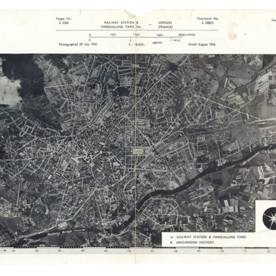
Limoges railway station and marshalling yard
A reconnaissance photograph showing a large town with a river running from lower left to top right. A station and marshalling yard are in the middle of the left half and a further marshalling yard and the aero-engine factory are on the upper right…
Lincoln
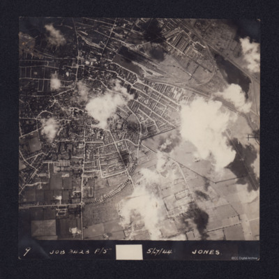
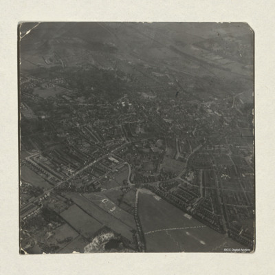
An aerial vertical photograph of Lincoln, England. Annotated 9 Job 3423 F/5 5/7/44 Jones. Sparse cloud cover. North is towards the bottom of the picture. The centre of the city is to the left of the photograph, showing residential areas. To the top…
Tags: aerial photograph
Lincoln
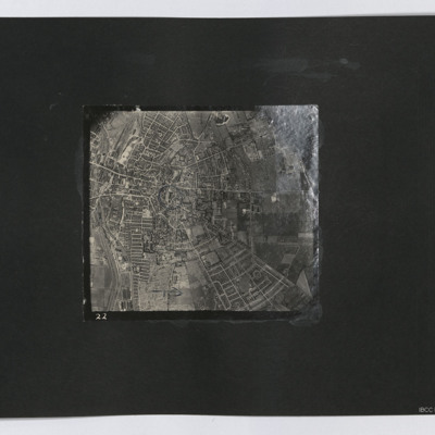
A vertical aerial photograph of Lincoln. The cathedral is marked with a circle.
Tags: aerial photograph
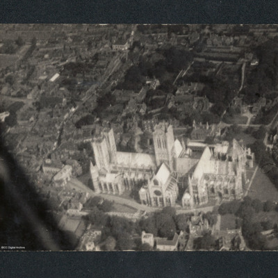
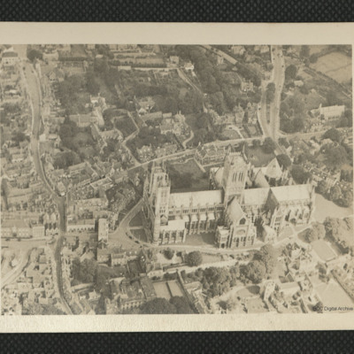
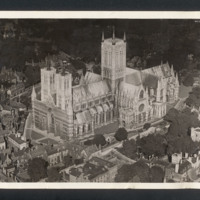
Lincoln Cathedral
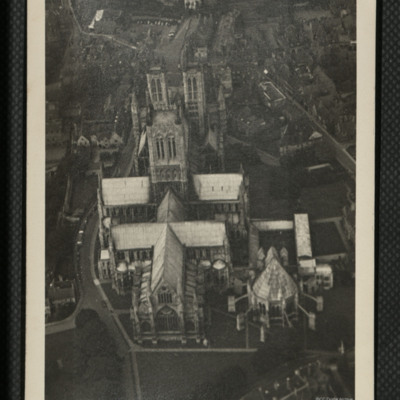
Oblique aerial view of Lincoln Cathedral. On the reverse 'Leica Neg album P10 No ISA 28.8.45 1/300 f5.6'.
Tags: aerial photograph
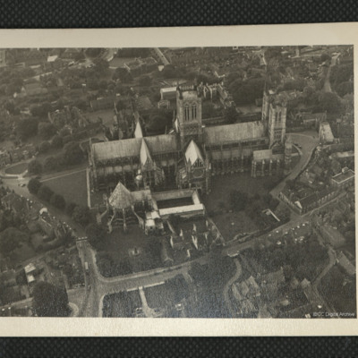
Lincoln Cathedral
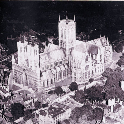
Aerial oblique photograph of Lincoln Cathedral, low angled, taken at very low altitude, camera pointing north east. Minster Yard, Priory Gate, Exchequer Gate are visible, no pedestrians or traffic visible except a bus, trees in full leaf, a group of…
Tags: aerial photograph
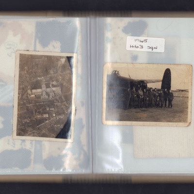
Lincoln Cathedral and airmen
Left page - Oblique aerial photograph of Lincoln cathedral.
Right page - nine airmen standing in front of the rear turret of a Lancaster with another Lancaster in the background. Captioned '1945 463 sqn'.
Right page - nine airmen standing in front of the rear turret of a Lancaster with another Lancaster in the background. Captioned '1945 463 sqn'.
Tags: 463 Squadron; aerial photograph; aircrew; ground crew; Lancaster
Lincoln Cathedral and the city
An aerial oblique view of Lincoln Cathedral and the city. St.Giles school and the residential areas surrounding it can be seen to the left of the photograph. Lincoln Cathedral and Castle are visible in the direct centre, with Lincoln Crown Court…
Tags: aerial photograph
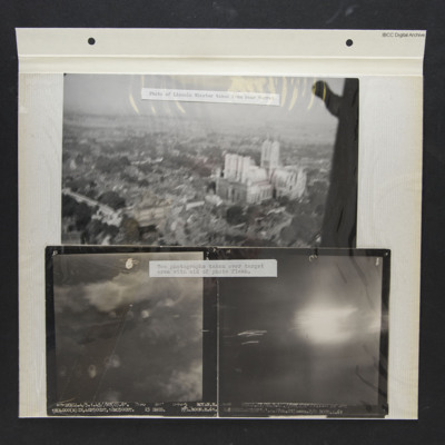
Lincoln Cathedral and Two Target Photos
Three photos from an album.
Photo 1 is a low level oblique aerial photo of Lincoln Cathedral, captioned 'Photo of Lincoln Minster taken from rear turret'.
Photo 2 is a vertical aerial photograph of Royan during a bombing operation. The coastline is…
Photo 1 is a low level oblique aerial photo of Lincoln Cathedral, captioned 'Photo of Lincoln Minster taken from rear turret'.
Photo 2 is a vertical aerial photograph of Royan during a bombing operation. The coastline is…
Lincoln in Flight
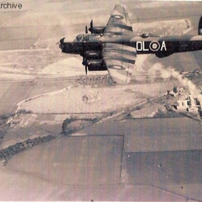
Lincoln OL-A in flight over the limestone quarry at Gainsthorpe, to the north of Kirton in Lindsey. Information supplied with the collection states 'Donald Evans Piloting a Lincoln of 83rd taken from IBCC'.
This item was sent to the IBCC Digital…
This item was sent to the IBCC Digital…
Tags: 83 Squadron; aerial photograph; aircrew; Lincoln; pilot
Little Walsingham
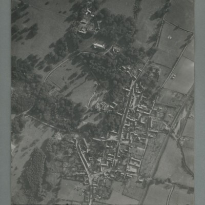
Reconnaissance photograph of a village surrounded by open fields. A main road runs top centre to bottom. The image is orientated with south at the top. Captioned '0020, OCU331, 006519Sep55.1445Z, 20"Can/50 F/O JONES, RESTD'. On the reverse…
Llandudno
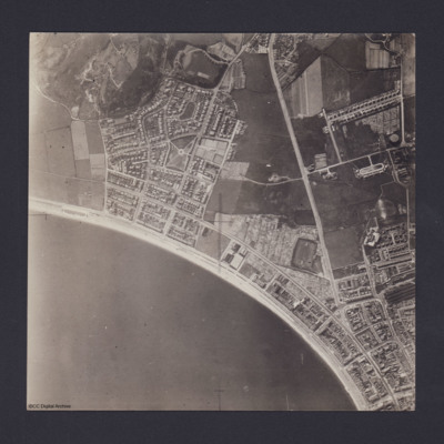
Vertical aerial photograph of Llandudno and Llandudno Bay taken during training operations. Craig-Y-Don Paddling Pool is the oval feature at left end of North Shore beach. Main road running top to bottom is Conway Road. Llandudno railway station and…
London
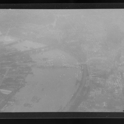
Air to ground view of the Thames and four bridges including Waterloo Bridge. Somerset House and the Strand bottom right.
Tags: aerial photograph
Lorient docks
A vertical aerial photograph taken during the bombing of a dockyard. An aircraft is visible as a silhouette below. The dock is identified in the inventory as Lorient.

