Browse Items (72 total)
- Conforms To is exactly "Pending geolocation"
Sort by:
Aerial Photographs, Canada
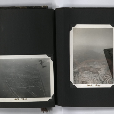
Four aerial photographs from an album.
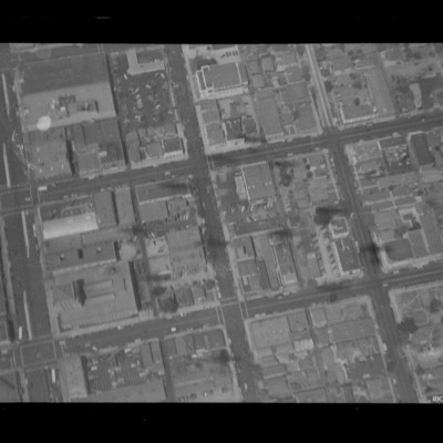
#1 is a city with a river.
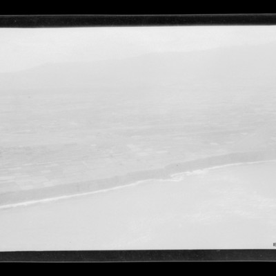
#2 is looking south along the Richelieu River, to the right is Saint-Jean-sur-Richelieu, Quebec, Canada.
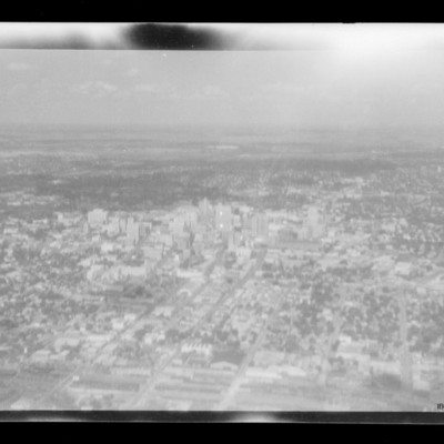
#3 is a city with a regular grid street pattern and a river under the wing…
#1 is a city with a river.
#2 is looking south along the Richelieu River, to the right is Saint-Jean-sur-Richelieu, Quebec, Canada.
#3 is a city with a regular grid street pattern and a river under the wing…
Tags: aerial photograph; training
Aircrew and bomb damage
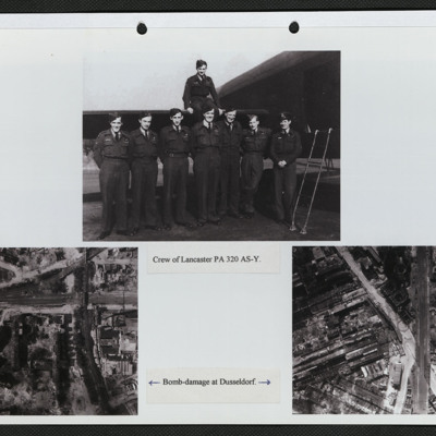
Three photographs mounted on a page.
Top: Eight aircrew in battledress, seven standing in a line by the open rear door of a Lancaster and one seated on the tailplane. It is captioned: 'Crew of PA 320 AY-S'.
Bottom left: Vertical aerial photograph…
Top: Eight aircrew in battledress, seven standing in a line by the open rear door of a Lancaster and one seated on the tailplane. It is captioned: 'Crew of PA 320 AY-S'.
Bottom left: Vertical aerial photograph…
Tags: 166 Squadron; aerial photograph; aircrew; bombing; Lancaster
Bocholt
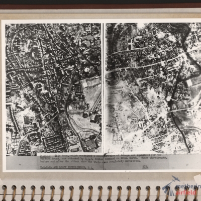
Left and right - side by side reconnaissance photographs showing the centre of the town of Bocholt with river Bocholter Aa flowing top to bottom with two distinctive bow’s to the right towards the top of the photograph. The large road crossing…
Bologna
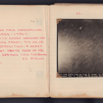
A target photograph taken on an operation to the Bologna Main Marshalling Yards. Fields and roads are visible in most of the image. There is an area of glare at the left edge, which obscure some ground detail. The photograph is annotated 'A4' and…
Bomb damage
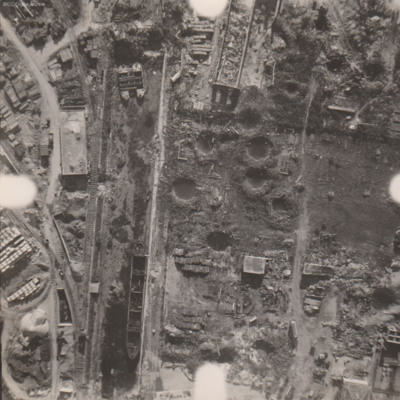
Reconnaissance photograph at low level of goods yard with significant bomb damage with craters and destroyed buildings throughout. A drained canal runs top to bottom with large barge aground against quay and another smaller pair tied together at top.…
Bomb damage to Emmerich, Cologne and Weser
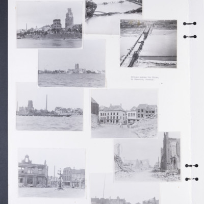
Photographs 1, 3 and 5 show damage to buildings on the riverside.
Photograph 2 is a low level oblique photograph of Cologne, with bomb damaged Hohenzollern Bridge.
Photograph 4 is a low level oblique photograph of Wesel with bomb damaged…
Photograph 2 is a low level oblique photograph of Cologne, with bomb damaged Hohenzollern Bridge.
Photograph 4 is a low level oblique photograph of Wesel with bomb damaged…
Tags: aerial photograph; bombing; Cook’s tour
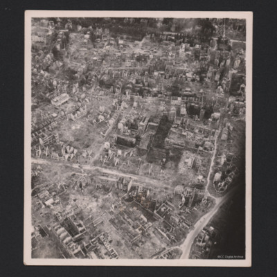
Bomb Damaged Town
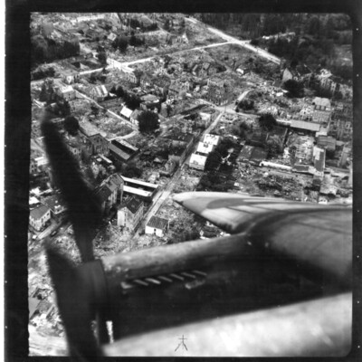
An oblique aerial photograph of a town destroyed by bombing. The starboard wing of an aircraft obscures the bottom of the image.
Tags: aerial photograph; bombing; Cook’s tour; Lancaster
Bombing and people
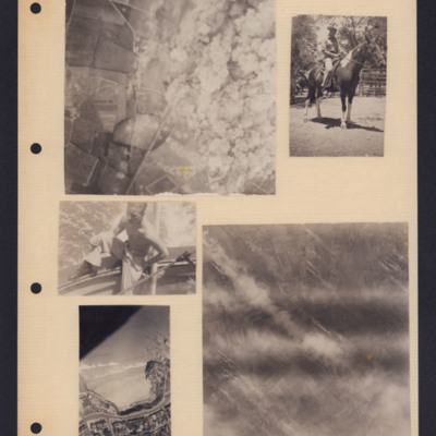
Five photographs from an album page. From top left to bottom right:
1. A target photograph showing open countryside. On the left is a line of bomb craters in fields. Roads are also visible here as is a railway line. On the right, the ground is…
1. A target photograph showing open countryside. On the left is a line of bomb craters in fields. Roads are also visible here as is a railway line. On the right, the ground is…
Tags: aerial photograph; animal; bombing; target photograph
Bombs, hills and coastline
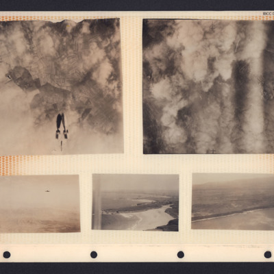
A collection of photographs in an album. From top left to bottom right:
1. Target photograph showing three bombs falling towards cloud and fields. There is no caption to identify the target.
2. Target photograph. The ground is mostly obscured by…
1. Target photograph showing three bombs falling towards cloud and fields. There is no caption to identify the target.
2. Target photograph. The ground is mostly obscured by…
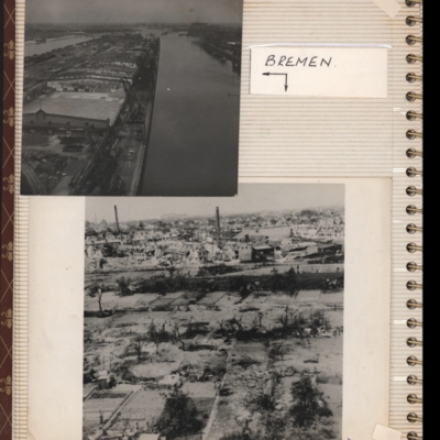
Bremen
Top - oblique aerial photograph of Bremen port with river Weser to the left running bottom to top with dock to the right. Pier in between has extensive railway sidings to the left, warehouses in the middle are mainly without roofs but cleared of…
Tags: aerial photograph; bombing; Cook’s tour
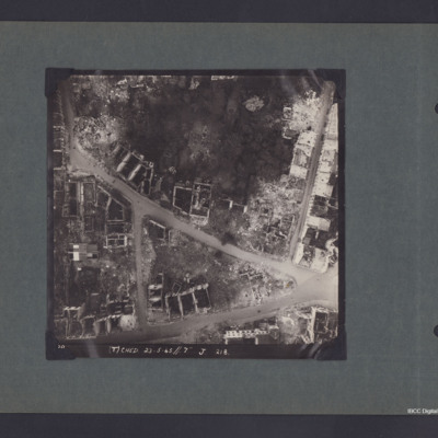
Bremen Industrial Area
A vertical aerial photograph of Bremen.
The photo is captioned '(T) Ched 23.5.45//7" J 218'.
On the reverse 'Crown Copyright Reserved' and 'Bremen'.
The photo is captioned '(T) Ched 23.5.45//7" J 218'.
On the reverse 'Crown Copyright Reserved' and 'Bremen'.
Cahagnes
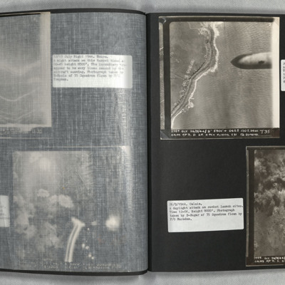
LH page, target photograph rural area with road running left to right and several buildings in top left. Many bomb explosions visible, captioned '429.EWS.30.7.44.//8" 2500 200(degrees) 0832.CAHAGNES MTT/TGT. U. 20 X 500.C.23 secs. F/Lt Josey. U.103'.…
Calais
Photo 1 is a vertical aerial photograph of the coast with bomb craters. A 1000lb bomb cab be seen falling in the right of the image.
Photo 2 is a vertical aerial photograph of the Calais area. The operation is to destroy a rocket launch site. Many…
Photo 2 is a vertical aerial photograph of the Calais area. The operation is to destroy a rocket launch site. Many…
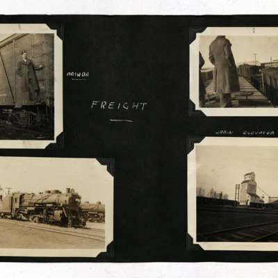
Canadian Railways and RCAF Rivers
Eight b/w photographs from an album.
Photo 1 is an airman on a freight wagon ladder, captioned 'Arthur'.
Photo 2 is an airman standing on the roof of a freight wagon.
Photo 3 is a steam engine.
Photo 4 is a grain elevator at the side of the…
Photo 1 is an airman on a freight wagon ladder, captioned 'Arthur'.
Photo 2 is an airman standing on the roof of a freight wagon.
Photo 3 is a steam engine.
Photo 4 is a grain elevator at the side of the…
Tags: aircrew; navigator; RCAF Rivers; training
Canal, Wellington and Spitfire, C-47 and glider
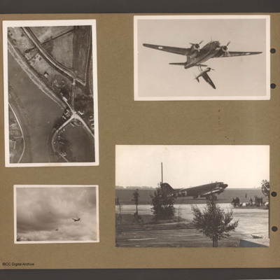
Top left an aerial vertical photograph of waterway junction with bridge. Canal or river runs from top left down towards bottom right. Splits into two branches towards the bottom. Right branch has road bridge crossing to the land between the two…
Tags: C-47; Horsa; Spitfire; taxiway; Wellington
Coastline
Air to ground view of coastal low cliffs run bottom left to right with open countryside beyond.
Tags: aerial photograph
Cologne
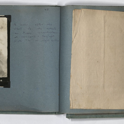
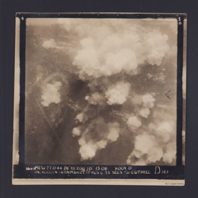
Target photograph for an operation to Cologne. It shows clouds of smoke rising up from several locations on the ground. Residential areas and roads are visible, as are some bomb craters in the fields. It is annotated '3B' and captioned:
'[…
'[…
Cologne
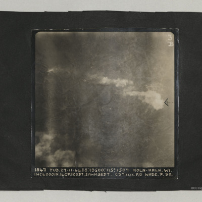
A target photograph taken on an operation at Cologne-Kalk. Bombs can be seen falling in lower right quadrant. Smoke is being emitted from near river bank top left. The River Rhine forms a curve from centre bottom to top left corner. Two bridges are…
Dortmund
Three photographs of Dortmund residential areas. Only skeletons of buildings are remaining.
Identification kindly provided by Ludger Keiser of the Finding the location WW1 & WW2 Facebook group.
Identification kindly provided by Ludger Keiser of the Finding the location WW1 & WW2 Facebook group.
Tags: aerial photograph; bombing; Cook’s tour
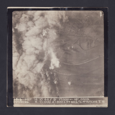
Duisberg
Target photograph taken on an operation to Duisberg. Left hand side is obscured by smoke or cloud and several bomb explosions can be seen. The Rhine river runs across the image, just below half height and there is built up area towards top of…
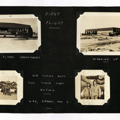
First Flight
19 photographs from an album.
Photo 1 is an Anson viewed from the port/rear, captioned 'The "Flying Greenhouse" '.
Photo 2 is three Ansons outside a hangar, captioned 'Warming Up'.
Photo 3 is three airmen standing at the front of an Anson,…
Photo 1 is an Anson viewed from the port/rear, captioned 'The "Flying Greenhouse" '.
Photo 2 is three Ansons outside a hangar, captioned 'Warming Up'.
Photo 3 is three airmen standing at the front of an Anson,…
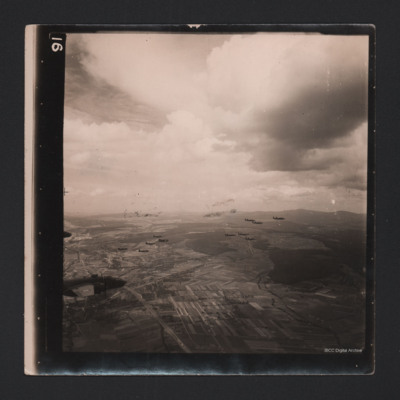
Fourteen Mitchells in Flight
An air-to-air photograph of 14 B-25 Mitchells in flight. They are flying over a cultivated valley, set between low hills.
Tags: aerial photograph; B-25
Freilassing
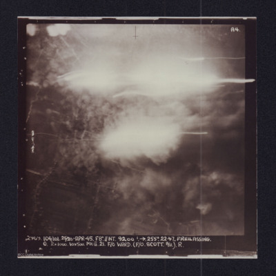
Target photograph showing explosions. Captioned '2969 104/101, 25/26 Apr 45, F8//NT 9200 ft, >255 degrees.22.47 Freilassing, G 2x1000, 10x500 Mk III 21 F/O Ward (F/O Scott B/A) R'. Two versions of the same image.

