Browse Items (680 total)
- Conforms To is exactly "Geolocated"
Sort by:
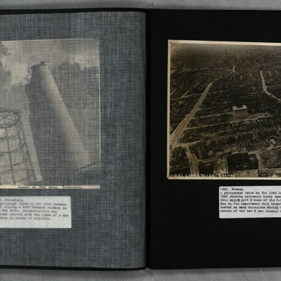
Bremen
A low level oblique aerial photograph of Bremen showing extensive bomb damage.
Tags: aerial photograph; bombing
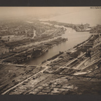
Bremerhaven
Oblique aerial photograph taken at low level showing port facilities, buildings, rail sidings and several vessels. The port is Bremerhaven. In the centre two waterways separated by a spur of land covered with dockyard buildings and cranes. On the…
Tags: aerial photograph
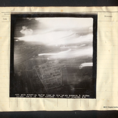
Brescia
Vertical aerial photograph of Brescia. In the lower half the Breda works and the railway line are visible; the top half is obscured by tracers, explosions and bright lights. Captioned '1972 40/2 17 Sept 44 F8//NT 7100' [arrow] 300° 2046 Brescia R.…
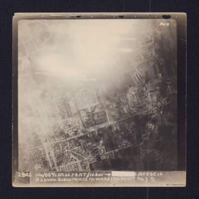
Brescia
Aerial vertical target photograph of Brescia, orientated with south west at the top edge. The image shows
good detail of the town's streets with the distinctive Cimitero Vantiniano in the centre. In the upper centre is a glare from a large fire or…
good detail of the town's streets with the distinctive Cimitero Vantiniano in the centre. In the upper centre is a glare from a large fire or…
Brest
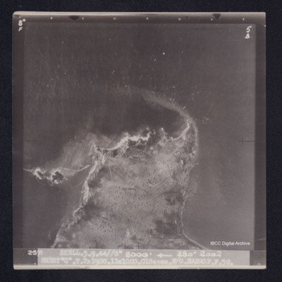
Target photograph of Camaret-sur-Mer. Area of land visible mainly rural with many craters. Captioned '8°F', '5B', '2571 SKELL.5.9.44//8" 8000' [arrow] 280° 2002 BREST"C".T.2X1900.11X1000.C18secs.F/O HARROP.P.50.'. On the reverse '[underlined] F/O…
Brest
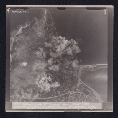
Target photograph of Camaret-sur-Mer. Coast line with base of breakwater with small boats clearly visible. Upper part of photograph open country, many craters, lower right more industrialised. Centre partially obscured by smoke and dust. Captioned…
Brest
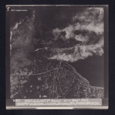
Target photograph of Camaret-sur-Mer. Port area with quays a breakwater and moored boats clearly visible. Roads and industrial area lower right. In open country on left, many craters visible. Disturbed water from a bomb explosion. Captioned '8°F',…
Bridge across Maitland River
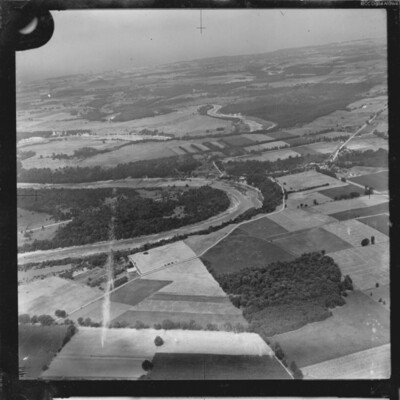
Two aerial photographs showing the River Maitland at Benmiller, Ontario. One is taken obliquely and shows several large bends in the river with the community of Benmiller at centre right. The sencond is a vertical aerial photograph showing the road…
Tags: aerial photograph
Bridge at Doboj
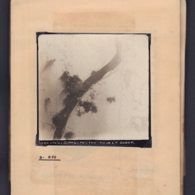
Target photograph showing snow-covered landscape with river running bottom left curving to top right. In the centre a bridge with bomb explosions on both banks. Captioned '2490, 104/47, 5 Jan 45, F8, 7100 ft,→ 11.06, C.F. Doboj. Annotated on page…
Bridge over the North Saskatchewan River
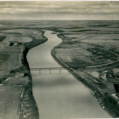
An oblique aerial view of a railway bridge crossing a river.
In Bob's memoirs he identifies the bridge as over the North Saskatchewan River about 1.5 miles SW of Fort Saskatchewan looking in the general direction of Edmonton.
In Bob's memoirs he identifies the bridge as over the North Saskatchewan River about 1.5 miles SW of Fort Saskatchewan looking in the general direction of Edmonton.
Tags: aerial photograph
Bridges on the Waal river at Nijmegen
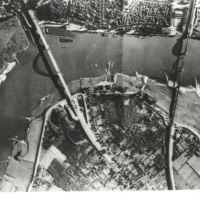
Reconnaissance photograph of a bend in the Waal river at Nijmegen, spanned by two cantilever bridges. The Waalbrug road bridge to the left and the Snelbinder rail bridge to the right. There are docks along river bank and jetties on the opposite side.…
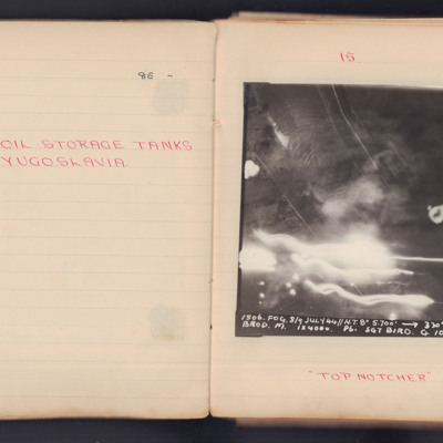
Brod Oil Storage Tanks
Two target photographs for separate operations to Brod in former Yugoslavia.
1st photograph: Darkness, smoke, light trails and Flak bursts hide much of the ground detail but some roads can be seen. It is annotated 'A4' and captioned:
'1506. FOG.…
1st photograph: Darkness, smoke, light trails and Flak bursts hide much of the ground detail but some roads can be seen. It is annotated 'A4' and captioned:
'1506. FOG.…
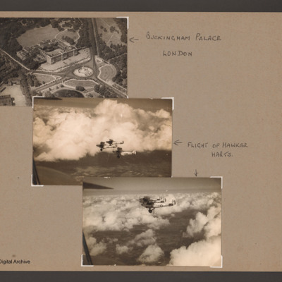
Buckingham Palace and three Hawker Harts
An aerial oblique photograph of Buckingham Palace showing the front and the Victoria Memorial. Captioned 'Buckingham Palace, London'.
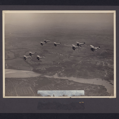
The second and third photographs are of three Royal Air Force Hawker Harts flying above broken clouds. Captioned…
The second and third photographs are of three Royal Air Force Hawker Harts flying above broken clouds. Captioned…
Tags: aerial photograph
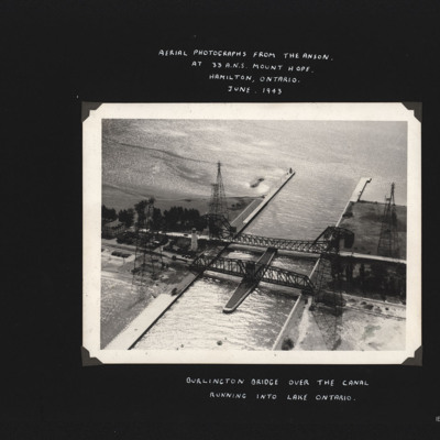
Burlington Bridge
Photograph shows two bridges spanning a canal which leads to open water. Also four large pylons. Captioned 'Aerial photographs from the Anson at 33 A.N.S. Mount Hope, Hamilton, Ontario. June 1943.' and 'Burlington Bridge over the canal running into…
Tags: aerial photograph; Anson; training
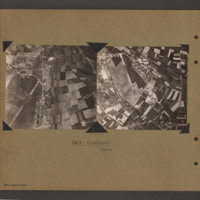
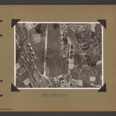
Caen Carpiquet airfield
Two side by side vertical photographs of Caen Carpiquet Airfield.
On the left a reconnaissance photograph orientated with east at the top. On the left side of the airfield with a single runway 13/31 running from bottom left towards the centre. A…
On the left a reconnaissance photograph orientated with east at the top. On the left side of the airfield with a single runway 13/31 running from bottom left towards the centre. A…
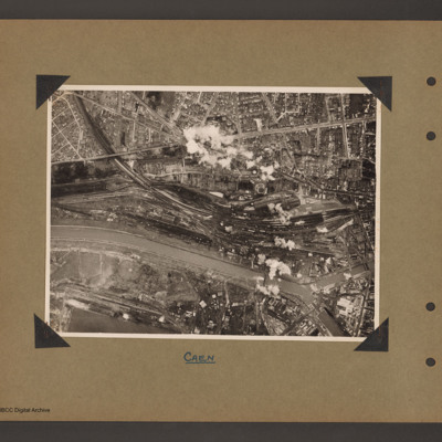
Caen marshalling yard
Aerial vertical photograph of a town with marshalling yard. A river/canal runs from halfway up on the left to bottom right. A railway line runs from top left into a large marshalling yard in the centre right which contains a large amount of rolling…
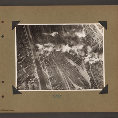
Caen marshalling yard
Aerial vertical photograph showing a large marshalling yard filled with rolling stock in a town. A canal/river runs up the left hand side with marshalling yard to the right. The main part of the town is to the right of the railway. A long line of…
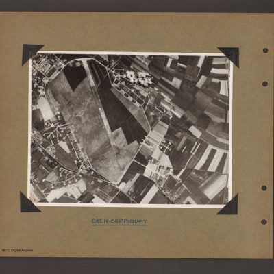
Caen-Carpiquet Airfield
Aerial vertical photograph of an airfield. Airfield fills left hand side with runway 13/31 running from bottom to top and a perimeter track running all the way round. The is a square section of buildings off the top left of the airfield and a series…
Caen-Carpiquet Airfield
Aerial vertical photograph showing an airfield. Airfield fills left two thirds with runway running vertically up. Runway 31 is at the bottom with a square area of buildings just outside the perimeter track to the right. There is are complex of…
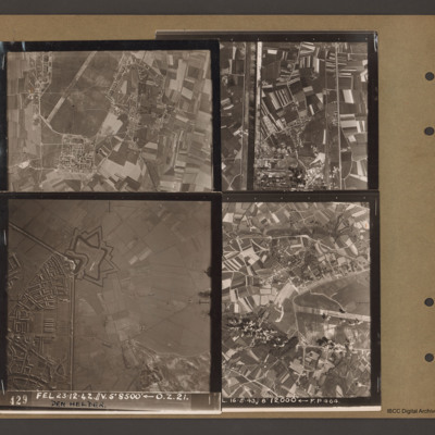
Caen-Carpiquet, Den Helder, Morlaix and unidentified canal
Top left an aerial vertical photograph of part of Caen-Carpiquet airfield. The runway runs from mid left to top right. The airfield is surrounded by a perimeter track and there is a square built up area at the bottom of the airfield.
Top right an…
Top right an…
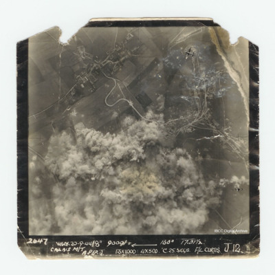
Calais
Target photograph of Calais. Much of the photograph is obscured by explosions. In the top right corner is a Lancaster. Captioned '2647 WKY 20-9-44//8" 9000' [arrow] 160° 17.01 1/2 Calais M/T A.P6 D. J 13x1000:4x500 C.25.secs. F/L Curtis J.12.'.
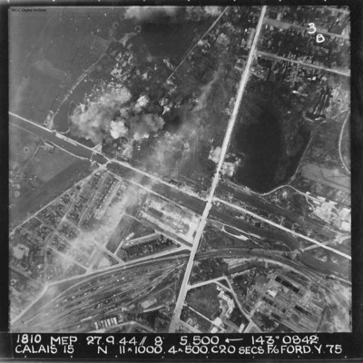
Calais
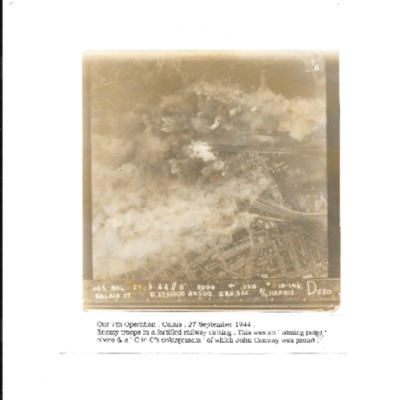
A vertical aerial photograph of Calais. The canal, Canal des Pierrettes, is visible and runs left to right, parallel to Rue Hoche and a marshalling yard. The yard services Les Fontinettes train station. Annotated '1810 MEP 27.9.44// 8” 5,500…
Calais
Vertical aerial photograph of Calais during a bombing operation, September 1944. It is captioned 'Our 7th Operation, Calais 27 September 1944. Enemy troops in a fortified railway cutting. This was an 'aiming point' photo & a C in C's enlargement of…

