Browse Items (692 total)
- Conforms To is exactly "Geolocated"
Sort by:
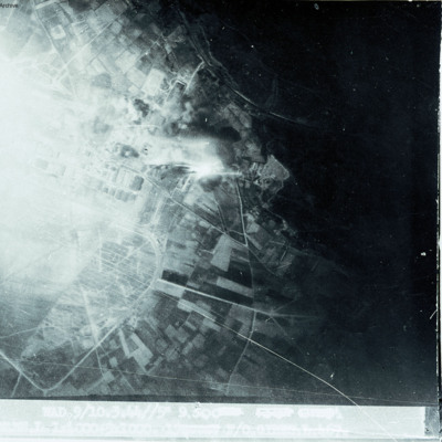
Walcheren
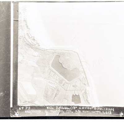
Target photograph of Walcheren showing coast with sea to right and land with lagoon in centre. Captioned 'Walcheren, Wad, 7.10.44 //8" 6000 070 13554, 14 x 1000 C21 F/O Ward Smith S. 463'.
Westkapelle
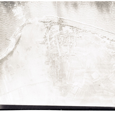
Reconnaissance photograph showing coast with breached sea wall. Town in centre.
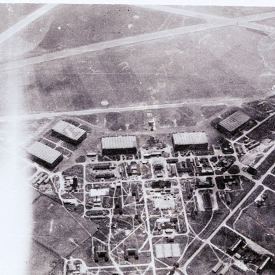
RAF Waddington
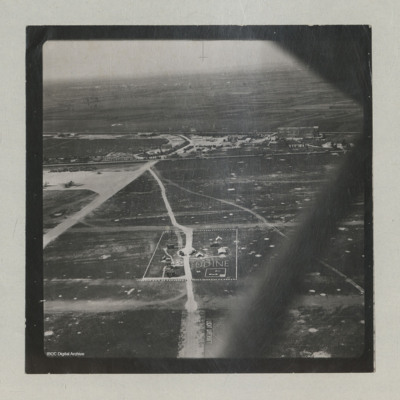
Air-to-ground view of a standard lay out RAF airfield with buildings on the left and runways to the right,
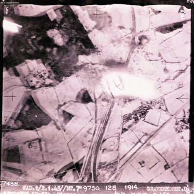
Gravenhorst
Target photograph showing canal running top to bottom with open countryside each side. Explosion in the centre. Captioned '7438 WAD/1/2.4.45//NT 7"9750 128 1914 GRAVENHORST.D'. Two versions of image.
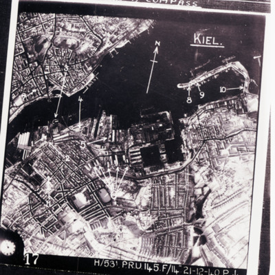
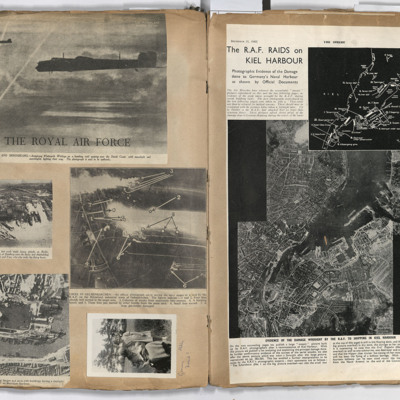
Kiel
Reconnaissance photograph of Kiel port area and city with targets indicated by arrows. Text above 'we were issued wit escape kit for [missing] consisting of currency and maps for [missing] flew over, emergency survival [missing] wakey pills and a…
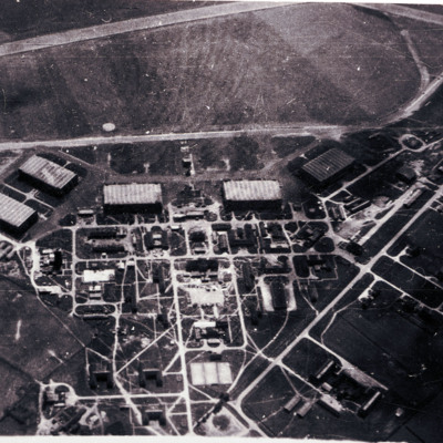
RAF Waddington
Air-to-ground image of an airfield with hangars and other buildings in bottom half and airfield with part of runway in top third of image.
Marignane
Show open countryside on right with built up area on left.
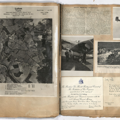
Luton
Left page: view of Luton with German annotation. Right page: top left, report of rocket development. Top right, Barracuda in flight with tail wheel showing. Middle left, three airmen standing alongside a Barracuda. Middle right, lifeboat alongside…
Targets
Left page: top, two flying Whitley aircraft passing over the Dutch coast.
Middle left, aerial view of Hamburg docks.
Middle right, bombing targets and fires in Gelsenkirchen.
Bottom left, bombing of Boulogne harbour.
Bottom right, a woman…
Middle left, aerial view of Hamburg docks.
Middle right, bombing targets and fires in Gelsenkirchen.
Bottom left, bombing of Boulogne harbour.
Bottom right, a woman…
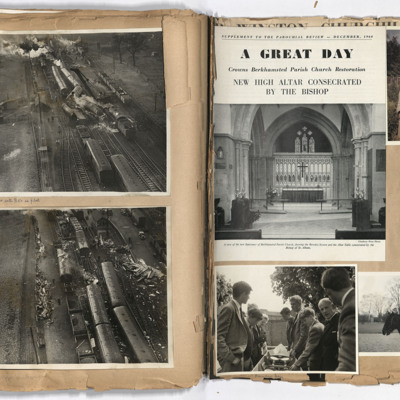
Aerial views
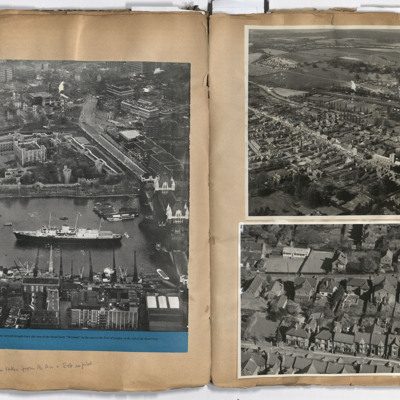
Left page: a view of central London including the Tower of London, Tower Bridge and the royal yacht Britannia, annotated 'All photographs taken from the air and Bob as pilot'. Right page: top, Berkhamsted.Bottom, Park View Road, Berkhamsted.
Tags: aerial photograph; aircrew; pilot
Civilian life
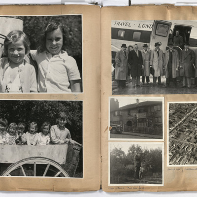
Left page: top two girls, annotated 'Hilly (6) Fiona (7)'.
Bottom; six children sat in a cart.
Right page: top, a group of seven men standing alongside an aircraft with a man standing in its open doorway, annotated 'Bob was engaged in charter…
Bottom; six children sat in a cart.
Right page: top, a group of seven men standing alongside an aircraft with a man standing in its open doorway, annotated 'Bob was engaged in charter…
Tags: aerial photograph; aircrew; pilot
Osterfeld
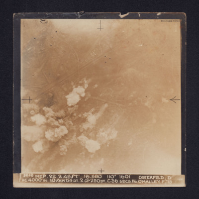
Target photograph of Osterfeld (Oberhausen-Sterkrade). Roads and buildings are visible as are the Rhine-Herne Canal and railway running from centre left to upper right. Smoke can be seen in the lower left quadrant of the image and there is some glare…
Wesel
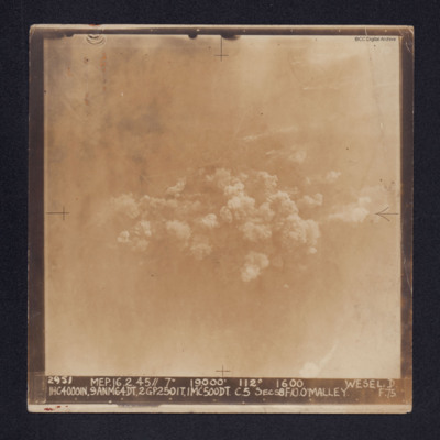
Target photograph of Wesel. Some roads and railway tracks can be seen in the upper half while at the centre there are several plumes of smoke. The whole area is covered by thin cloud.
It is captioned: "2952 MEP. 16.2.45//7" 19,000' 112º 1600 WESEL.…
It is captioned: "2952 MEP. 16.2.45//7" 19,000' 112º 1600 WESEL.…
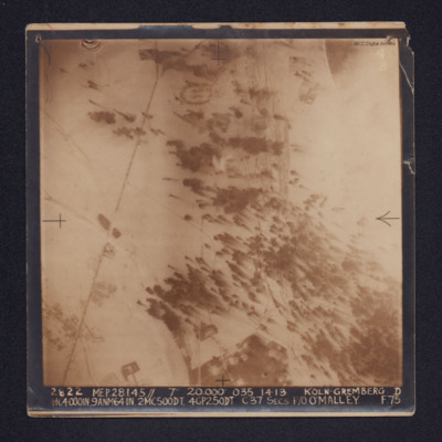
Koln-Gremberg
A target photograph of snow covered Koln-Gremberg. In the upper, right quadrant are some marshalling yards and the River Rhine, partially obscured by cloud. In the upper and lower left quadrants is a main railway line. At upper centre is an area of…
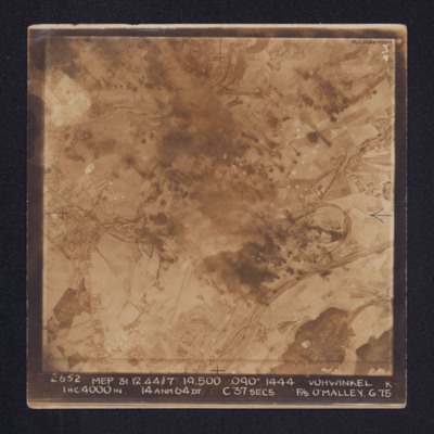
Vohwinkel
Target photograph of Vohwinkel. In the lower right quadrant rail tracks and sidings are visible, alongside which is a distinctive complex of roads and buildings. The buildings and streets of Gräfrath can be seen at the centre left of the image while…
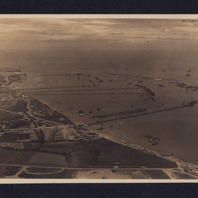
Mulberry Harbour
An oblique aerial photograph, taken looking west, of Mulberry B (Port Winston) and the coastline at Gold Beach.
At centre left is the town of Arromanches-les-Bains from which three floating piers lead to their pier heads. At lower centre is the…
At centre left is the town of Arromanches-les-Bains from which three floating piers lead to their pier heads. At lower centre is the…
Hampdens over Hemswell
Four Hampdens of 144 Squadron flying over Hemswell. One has the serial number L4125.
This item was sent to the IBCC Digital Archive already in digital form. No better quality copies are available.
This item was sent to the IBCC Digital Archive already in digital form. No better quality copies are available.
Tags: 144 Squadron; Hampden; hangar; RAF Hemswell
St Albert
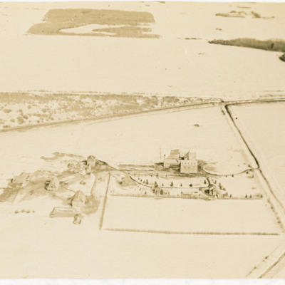
Two oblique aerial photographs of a large school with some outbuildings in a snowy landscape near St Albert, Edmonton. Poundmaker Road and Canadian National Railway tracks are also visible. Identification kindly provided by Steven Boisvert of the…
Tags: aerial photograph
Josephburg Grain Silos
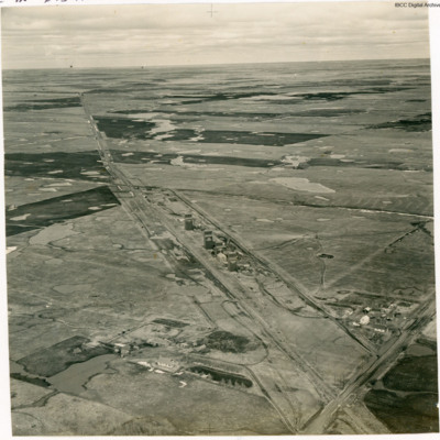
An oblique aerial photograph of four grain silos.
In Bob's memoirs he identifies these as being at Josephburg, close to Fort Saskatchewan.
In Bob's memoirs he identifies these as being at Josephburg, close to Fort Saskatchewan.
Tags: aerial photograph
Bridge over the North Saskatchewan River
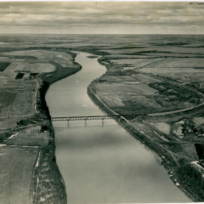
An oblique aerial view of a railway bridge crossing a river.
In Bob's memoirs he identifies the bridge as over the North Saskatchewan River about 1.5 miles SW of Fort Saskatchewan looking in the general direction of Edmonton.
In Bob's memoirs he identifies the bridge as over the North Saskatchewan River about 1.5 miles SW of Fort Saskatchewan looking in the general direction of Edmonton.
Tags: aerial photograph
Carbondale Grain Silo
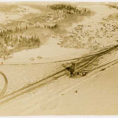
Two oblique aerial photographs of a grain silo at a railway junction. The ground is covered in snow.
In Bob's memoirs the location is identified as Carbondale, a few miles north of Edmonton.
In Bob's memoirs the location is identified as Carbondale, a few miles north of Edmonton.
Tags: aerial photograph
Udine Signal Square and Control Tower
Oblique aerial views of the signal square and control tower at Udine airfield. Two C-47s can be seen on the hard standing. Airfield marking reads "LIGHT AIRCRAFT".
In the background, the 'caserma avieri', the 'Voisin' hangars, the main road, and the…
In the background, the 'caserma avieri', the 'Voisin' hangars, the main road, and the…
Tags: aerial photograph; C-47; control tower; hangar; RAF Udine; taxiway
Westkapelle
Three aerial photographs showing bomb craters and damage to the seawall. Much of the area is flooded. Houses and roads forming part of the village of Westkapelle are visible in the lower right corner of the main (topmost) photograph which is…
Tags: aerial photograph; bombing
Djibouti
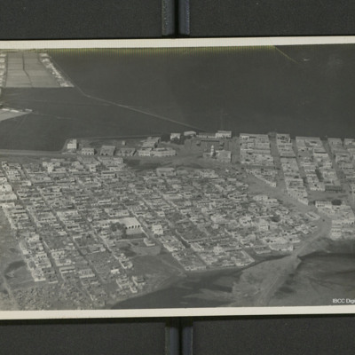
A low level oblique of Djibouti. Streets are laid out in a regular grid pattern. On the reverse 'Djibouti (French Somaliland)'.
Tags: aerial photograph

![SParnellR[Ser#-DoB]v10003-0004.jpg SParnellR[Ser#-DoB]v10003-0004.jpg](https://ibccdigitalarchive.lincoln.ac.uk/omeka/files/square_thumbnails/1887/46072/SParnellR[Ser -DoB]v10003-0004.jpg)
