Browse Items (540 total)

  • Type is exactly "Map"

SCattyMA164193v10028-0001.jpg
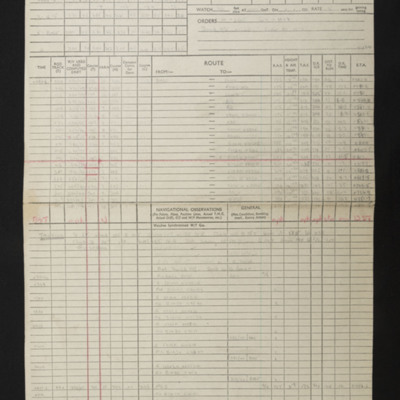
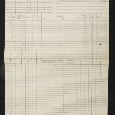
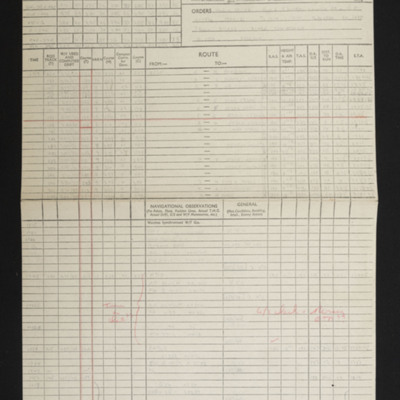
Navigational computations and a chart for an operation to Hohenbudberg, Krefeld, marshalling yards.

SCattyMA164193v10002-0001.jpg
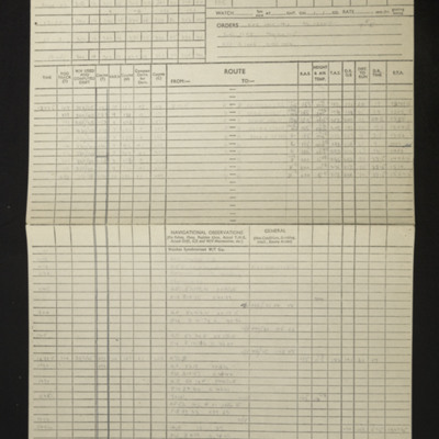
Navigational computation and a chart for an operation to Homberg Synthetic Oil plant.

SCattyMA164193v10007-0001.jpg
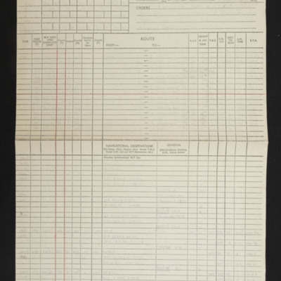
Navigational computation and a chart for an operation to the Homberg Synthetic oil plant.

SCattyMA164193v10008-0001.jpg
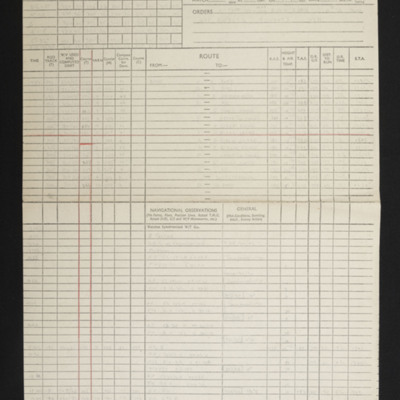
Navigational computation and a chart for an operation to the Homberg synthetic oil plant.

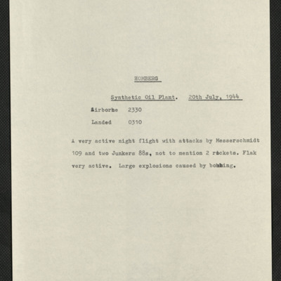
SKingEJ182986v10134.jpg
A brief description of the op to a synthetic oil plant, reports being attacked by Me 109 and two Ju 88's, his navigation plot, a print of what the H2S return of the target should look like and a page, partly newspaper cuttings and partly a report of…

PThompsonKG15010118.jpg
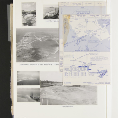
Three photographs captioned 'Canton going to see the fish in the lagoon'.
Two photographs showing Christmas Island from the air, captioned 'Christmas Island the runways 19 June '56' and '28 Jan '57 After rebuild'.
Small map showing Christmas…

CHarrisonRL-181113-010001.jpg
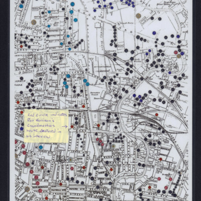
City map of Hull showing blue black and red marks. Post-it label reads 'Red circle indicates Ron Harrison's grandmother's house featured in his interview'.

Tags:

CLeadbetterJ-160421-010014.jpg
A planning chart used by navigators.

BWynnDWynnIAv1.pdf
An album book containing: 1. Photographs of Ian Wynn, his family and his first crew captain. 2. A history of his first captain. 3. Letter of sympathy and memorial scroll. 4. A diary of events from joining the air force up to first operation fully…

SFordTA1585520v20034.jpg
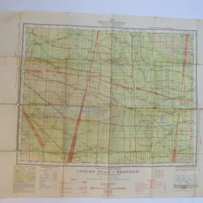
A Canadian air chart covering the Indian Head and Brandon areas, Saskatchewan and Manitoba.

CWhittleGG-160822-010011.jpg
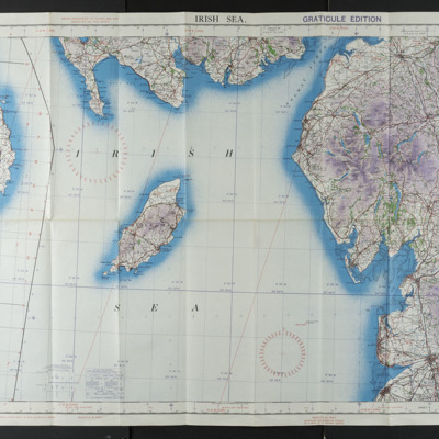
Ordnance Survey air chart of the Irish Sea, scale 1/4 inch to one mile, sheet 2A.

SCattyMA164193v10004-0001.jpg
Navigational computation and a chart for an operation to Kastrop-Rauxel Synthetic Oil Plant.

SCattyMA164193v10003-0001.jpg
Navigational computation and a chart for an operation to Koblenz

CWyldeHJ-220721-010002.jpg
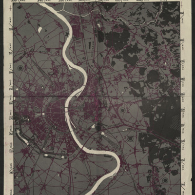
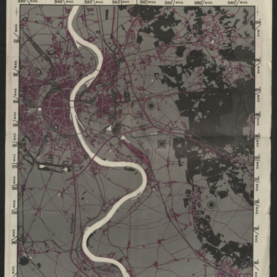
A map to be used on the bombing of Cologne.

Tags: ;

CWyldeHJ-220721-010004.jpg
A map used on the bombing of Cologne.

Tags: ;

SCattyMA164193v10024-0001.jpg
Navigational Computation and a chart for an operation to Krefeld.

SKingEJ182986v10080.jpg
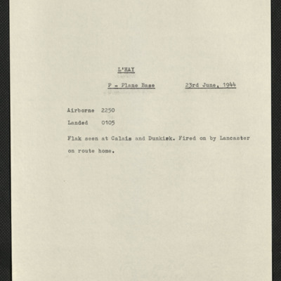
Four items, Edward's brief description, referring to P planes, reports being attacked by a Lancaster on the way home, his navigation plot, a map of the area near the target, a press cutting describing the days air activities mainly attacking V-1…

CFryHL-200304-01.jpg
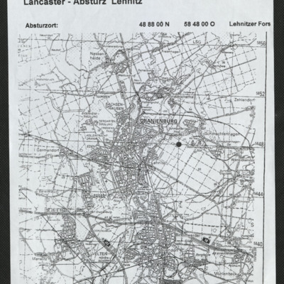
Black and white map with Oranienburg just above centre. Black dot indicating Lancaster crash site between villages of Lehnitz and Schmachtenhagen.

SKingEJ182986v10028.jpg
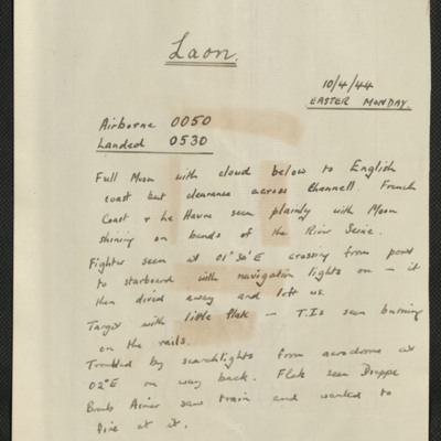
Six items, Edwards description of the operation to the Laon marshalling yards, comments that it was Easter Monday, there was a full moon, little anti-aircraft fire. Edwards navigation plot, two press photographs showing the damage to the yards on…

SKingEJ182986v10053.jpg
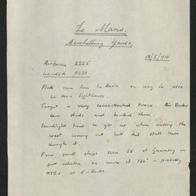
Five items, the first is Edward's description of the operation to the marshalling yards at Le Mans. He describes the anti-aircraft fire, and conditions over the target. Edward's navigation plot, the H2S plot of Le Mans, a press cutting with three…

OThompsonKG12308603-150907-010044.jpg
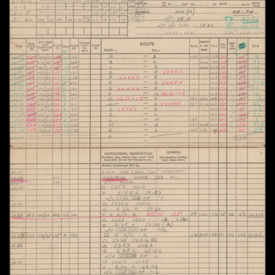
Navigation calculations and a chart for operation to Leipzig.

CWyldeHJ-220721-010012.jpg
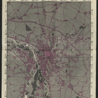
A target map used for an operation at Leipzig.

Tags: ;

SRutherfordRL146342v1.pdf
Prisoner of war diary of Les Rutherford, captured the 20 December 1943 and then detained at Stalag Luft 3 (Belaria). It consists mostly of sketches and cartoons but also information on camp life, photographs and German newspaper cuttings. The diary…

MWrightJ[Ser#-DoB]-150527-100001.jpg
The letter refers to a map found in the remains of the aircraft at Bouveret. The map indicates a route via Annecy and a second to the west of Lyon.
Included is the map with the routes marked on.

Tags:

SKingEJ182986v10109.jpg
Four items, Edward's brief description of the operation, the second his navigation plot, third is a map showing the target and fourth part of an official report of the operation. This includes the number and squadrons of the aircraft that took part,…
Output Formats

atom, dc-rdf, dcmes-xml, json, omeka-xml, rss2