Browse Items (1442 total)
- Tags: aerial photograph
Sort by:
Siracourt
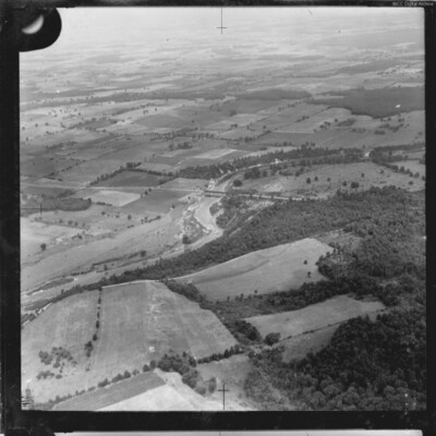
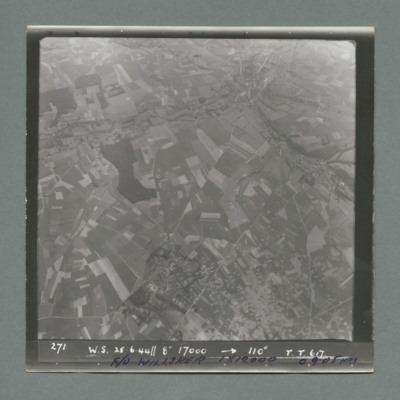
Target photograph showing open countryside with fields. There is an area covered with craters bottom centre to right. Caption '271, W.S., 25.6.44, 8", 17000, 110 degrees, T., T., 617'. On the bottom F/O Willsher, 1 x 12000, 0905 hrs'. On the reverse…
Siracourt
Sequence of two target photographs taken at intervals from the same aircraft. Both show open countryside with fields. In the first image there is a railway line running bottom left to centre right. Smoke from explosion visible amongst area covered…
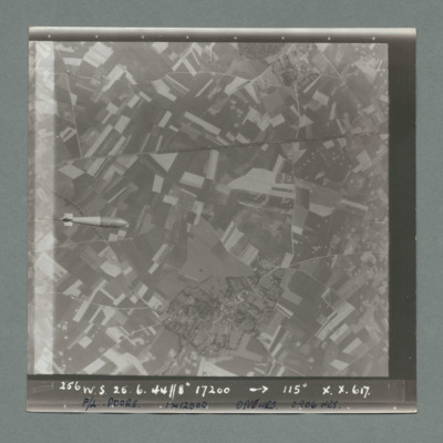
Siracourt
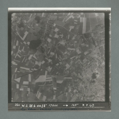
Target photograph showing open countryside with fields. A railway line runs from centre left to right. A tallboy is visible middle left edge. Caption '256, W.S., 25.6.44, 8", 17200, 115 degrees, X., X., 617'. On the bottom 'F/L Poore, 1 x 12000, 0906…
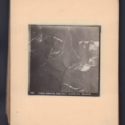
Sjenica
Two prints of the same target photograph showing open countryside. Road runs top middle to bottom right. Captioned '2172, 104/29, 20 Nov 44, F8, 8100 ft, →15.23, S.D. Sjenica'.
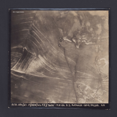
Sjenica Novi Pazar
Target photograph showing fields and on left and built up area bottom right. Captioned '2131.104/27, 19 Nov 44, F8, 7600 ft,→ 11.22, D.S. Sjenica Novi Pazar Rd'.
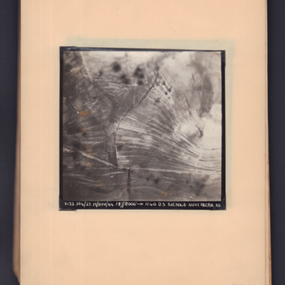
Sjenica Novi Pazar
Two prints of the same target photograph showing open countryside with road running bottom left to right. Captioned '2133, 104/27, 19 Nov 44, F8, 8000 ft,→ 1140, DS Sjenica Novi Pazar RD'.
Sjenica Novi Pazar
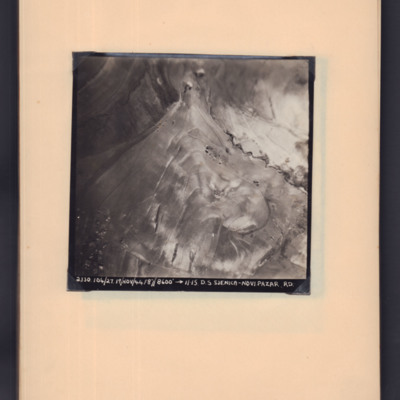
Target photograph showing open countryside with roads through area. Captioned '2130, 104/27.19/Nov/44, F8, 8600 ft,→ 11.15. D.S Sjenica-Novi Pazar RD'.
Skomer Islands
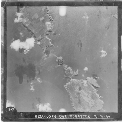
A vertical aerial photograph of a group of islands including Skomer, West Wales. It is annotated '3PP Recco.519 P/O Leadbetter 9.9.44'.
Sluice gate on the Dortmund Ems canal
Oblique aerial photograph taken at low altitude of the canal and sluice gate in centre. Surrounding area is covered in bomb craters with occasional vehicle track. The canal, mainly drained and with no vessels visible, runs from top left to bottom…
Tags: aerial photograph; bombing
Smederevo
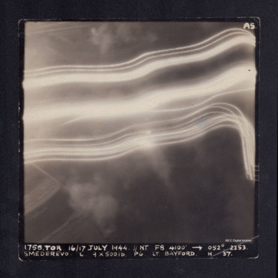
A vertical aerial photograph taken during the bombing of Smederevo. No detail is visible due to anti-aircraft flashes. It is captioned '1758. TOR 16/17 JULY 1944.//NT F8 4100' -->052°. 2253. Smederevo. L. 9 x 500 lb P6 Lt.Bayford. H. 37.'
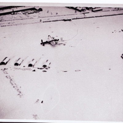
Snow covered airfield with Lancaster
Air-to ground view of a snow covered airfield with huts and two parked Lancaster. Buildings at the top.
Tags: aerial photograph; Lancaster
Soesterberg
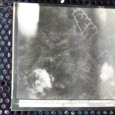
A vertical aerial photograph of an attack on Soesterberg airfield. The image is mostly clear and shows many bomb craters. The caption underneath is overexposed and apart from the airfield name and 'Sgt Goodrum' is indecipherable.
Soesterberg
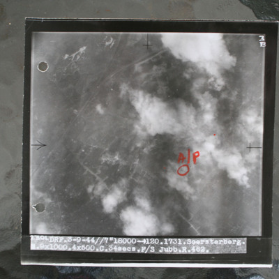
Target photograph showing airfield with smoke from bomb explosions. Aiming pint in annotated in red ink. Captioned 'DRF.3-9-44//7"18000 >120.1731.Soersterberg.R.9x1000.4x500.C.34secs.F/S Jubb.R.462'.
This item was sent to the IBCC Digital Archive…
This item was sent to the IBCC Digital Archive…
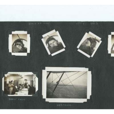
Solo at 1000' - Very Cold
Six photographs from an album.
Photos 1, 2, 3 and 4 are head shots of Terry Ford flying, wearing a helmet and goggles.
Photo 5 is five airmen arranged around a table, captioned 'Crew Room'.
Photo 6 is an aerial photograp of a town viewed through…
Photos 1, 2, 3 and 4 are head shots of Terry Ford flying, wearing a helmet and goggles.
Photo 5 is five airmen arranged around a table, captioned 'Crew Room'.
Photo 6 is an aerial photograp of a town viewed through…
Tags: aerial photograph; aircrew; pilot; training
Sorties Flown by James Foulsham in 57 Squadron
Research from 57 Squadron Operation Record Book.
South Maitland River
Aerial oblique photograph of a river flowing from bottom left to right middle. A bridge is visible.
Tags: aerial photograph
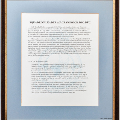
Squadron Leader AP Cranswick DSO DFC
A framed biography of Alec Cranswick's wartime service. It includes a tribute by AVM Bennett.
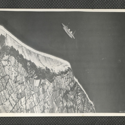
SS Rex near Semedella
Oblique aerial photograph of a passenger ship lying on her port side just off the Adriatic coastline to the west of Koper, Slovenia. The ship is the Italian ocean liner SS Rex, which was sunk in shallow water by the RAF and SAAF on 8 September 1944.…
Tags: aerial photograph
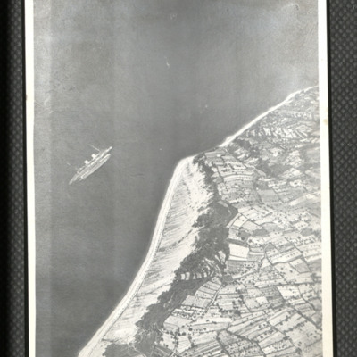
SS Rex near Semedella
Oblique aerial photograph of coastline running bottom left to top right with sea to left. Middle left a passenger liner is seen rolled over and on its side. On the reverse 'Italian [....] sunk by Beaufighters off NE coast near Trieste. Planes were…
Tags: aerial photograph; Beaufighter
St Albert
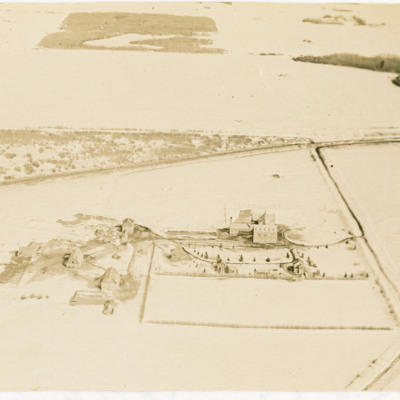
Two oblique aerial photographs of a large school with some outbuildings in a snowy landscape near St Albert, Edmonton. Poundmaker Road and Canadian National Railway tracks are also visible. Identification kindly provided by Steven Boisvert of the…
Tags: aerial photograph
St Cyr airpark
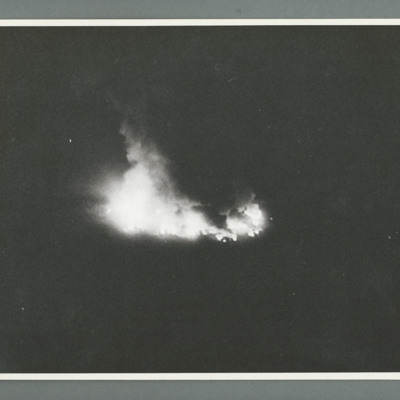
Oblique aerial photograph showing an object on fire in the centre. On the reverse 'Can 2, Neg 1, Ops 150, St Cyr airpark, 10.4.44, 617, spot bursts, [...], Lancaster, 0200, orbiting, 10000/6000, 51/44'.
Tags: 617 Squadron; aerial photograph; bombing; Lancaster
St Johns Airfield, Cathedral, Ron Ridings and No 9 Air Observer's School Sign
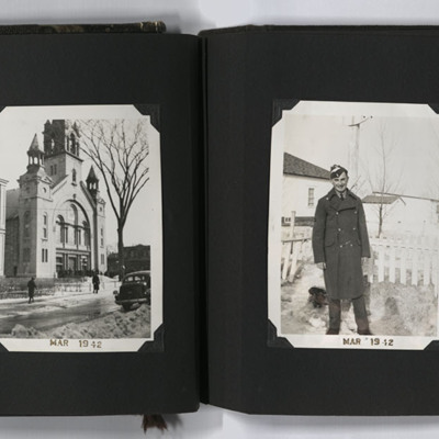
Four photographs from an album. #1 is an oblique aerial photograph of St Johns airfield, Saint-Jean-sur-Richelieu. #2 is Cathedral of Saint-Jean-l'Évangéliste at Saint-Jean-sur-Richelieu. #3 is Ron in trainee uniform and greatcoat. #4 is a sign for…
Tags: aerial photograph; aircrew; observer; perimeter track; runway; taxiway; training
St Leu D'Esserent
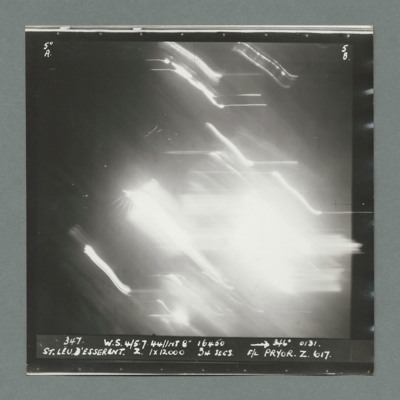
Target photograph showing bright area in the centre. Caption '347, W.S., 4/5.7.44, NT 8". 16450, 246 degrees 0131' St Leu D'Esserent, Z, 1 x 12000, 34 secs, F/L Pryor, Z., 617'. On the reverse '51:98/13'.
St Leu D'Esserent
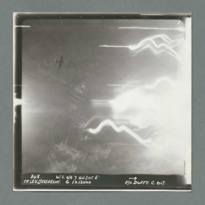
Target photograph showing open countryside on the left with tracer lines and bright spot to the right. Caption '348, W.S., 4/5.7.44, NT 8", St Leu D'Esserent, C, 1 x 12000, F/O Duffy, C., 617'. On the reverse '51:98/14'. A Lancaster at a lower…
St Leu D'Esserent
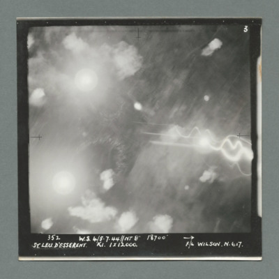
Target photograph showing many bright spots all over. Caption '352, W.S. 4/5.7.44, NT 8", 18700, St Leu D'Esserent, K1, 1 x 12000, F/L Wilson, N., 617'. On the reverse '51:98/15'.

![SKnoxRW[Ser#-DoB]v30008.jpg SKnoxRW[Ser#-DoB]v30008.jpg](https://ibccdigitalarchive.lincoln.ac.uk/omeka/files/square_thumbnails/1956/41386/SKnoxRW[Ser -DoB]v30008.jpg)
