Browse Items (1442 total)
- Tags: aerial photograph
Sort by:
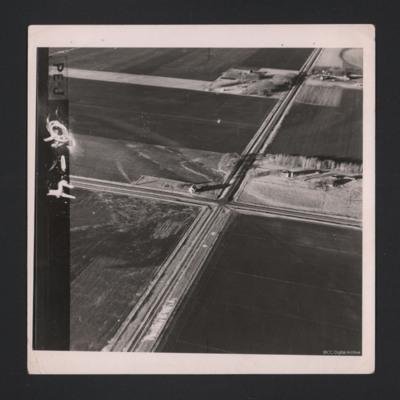
Road Crossing Flat Lands
A low level aerial oblique photograph of a road crossing. Annotated on the image is 'PE-J Q-4'.
Tags: aerial photograph
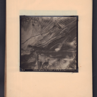
Road south of Stenica
Target photograph showing road running left middle to top right through open countryside. Captioned '2119, 104/26, 18/Nov/44, F8, 9500 ft, →14.45, D.S. Road S. of Stenica'.
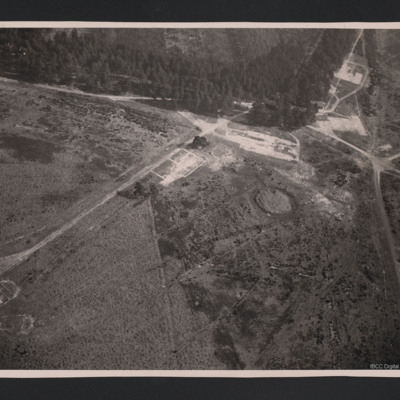
Roads and forest
An oblique aerial photograph of a forest with roads and building foundations.
Tags: aerial photograph
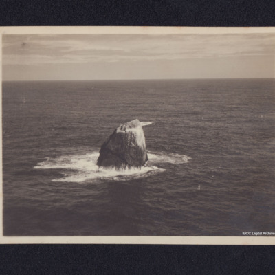
Rockall
An aerial photograph of Rockall taken during a training flight. Information supplied with the collection states 'Coastal Command; Nr. 6 OTU, RAF Silloth 1945. Training flight to Rockall'.
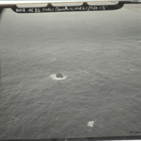
Rockall islet
Oblique aerial photograph of Rockall islet, with rock centre of photograph. Captioned: '6012. AC26. Earls Colne 10 Apr’45//K20 6 1/2'.
The description of this item is partially based on information provided by the donor. This item was sent to…
The description of this item is partially based on information provided by the donor. This item was sent to…
Tags: aerial photograph; RAF Earls Colne
Rocket attack
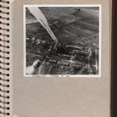
Oblique aerial photograph showing a built up area on bottom half and open countryside above. Rocket trails from top left to centre. Submitted with description 'Target photo of rocket attack on an unidentified group of buildings. The handwritten…
Tags: aerial photograph; Mosquito
Rollencourt
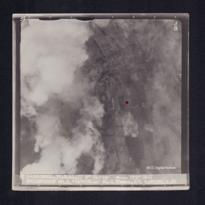
Target photograph of Rollencourt. Red dot centre right. Partially obscured by cloud, visible area rural, field patterns and bomb explosions visible. Captioned '5°F', 5B', '2439 SKELL.31.8.44// 8" 14000' [arrow] 172° 1812 ROLLENCOURT…
Romorantin-Pruniers aerodrome
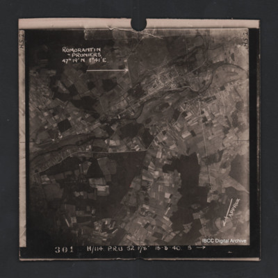
Vertical aerial photograph of Romorantin-Pruniers aerodrome, identified with text ‘Romorantin-Pruniers 46° 19’N 1°41E’. The remainder of the photograph is rural with small villages except for the airfield area which has many buildings. An…
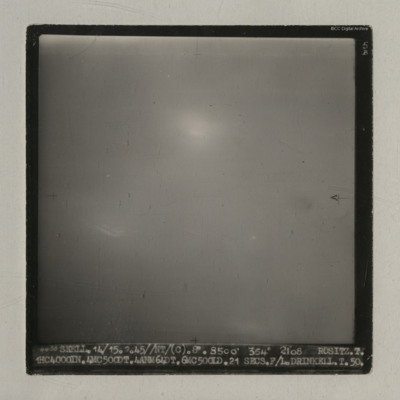
Rositz
A vertical aerial photograph taken during an operation at Rositz. No detail is visible on the ground.
It is captioned '4438 Skell. 14/15.2.45//NT/ (C). 8" 8500' 354° 2108 Rositz. T. 1HC4000IN.4MC500DT.4ANM64DT.6MC500LD. 21 secs. F/L.…
It is captioned '4438 Skell. 14/15.2.45//NT/ (C). 8" 8500' 354° 2108 Rositz. T. 1HC4000IN.4MC500DT.4ANM64DT.6MC500LD. 21 secs. F/L.…
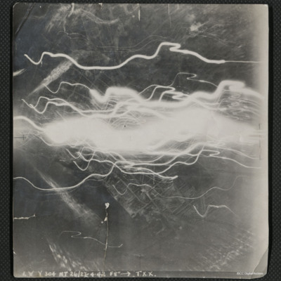
Rostock
A vertical aerial photograph of the docks at Rostock, taken during an operation. The centre of the image is obscured by flashes of light.
The image is captioned 'I.V.Y. 304 NT 26/27.4.42 f8" --> T.X.X.'
On the reverse is handwritten 'Rostock'.
The image is captioned 'I.V.Y. 304 NT 26/27.4.42 f8" --> T.X.X.'
On the reverse is handwritten 'Rostock'.
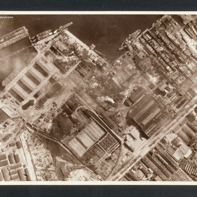
Rostock
Reconnaissance photograph showing at top a port area (Naptun Shipbuilding Yards) with several ships docked. Water at top and built up area of port and industrial buildings below. Some fires visible. Captioned between pages 22-23 of 1956 Memoir…
Rostock
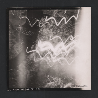
Vertical aerial photograph of a railway junction. At the bottom is Rostock urban area. Anti-aircraft trace fire obscures part of the left side. Captioned ‘1. P(Y6) 12 NT 26/27/4/42 F/8” [arrow] TX’, on the reverse 2500’ W of old…
Rostock
Vertical aerial photograph of Rostock. Most detail is obscured by anti-aircraft fire. The Unterwarnow and the Altstadt are partially visible. Captioned ‘1. T(Y5) 12 NT 26/27/4/42 F/8” [arrow] TX’.
Rotterdam
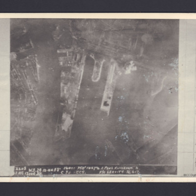
A vertical aerial photograph of the docks at Rotterdam. It is captioned '2208 W.S.29.12.44 //8" 16000 350° 1857 1/2 E Pens Rotterdam K . 1 HC 12000 DT C 30 secs F/O Leavitt R 617'.
On the reverse 'On loan P&R Darby Woodhall Spa'.
On the reverse 'On loan P&R Darby Woodhall Spa'.
Rotterdam and Zeebrugge
On the left an aerial vertical photograph showing a city with a river running through from left to right with port facilities on both sides. On the far side of the river towards the left is a small indented water basin with a few ships moored.…
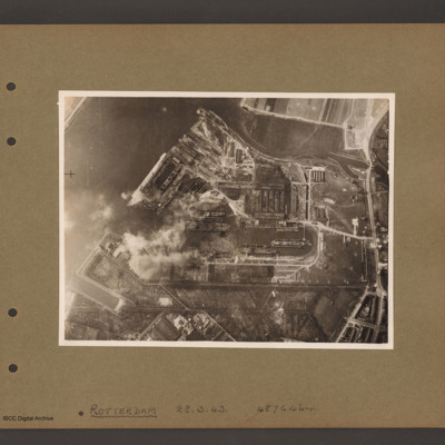
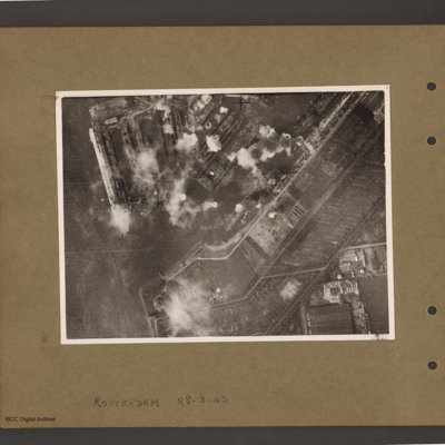
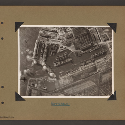
Rotterdam Docks
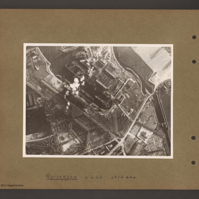
An aerial vertical photograph of docks. On the right a series of interconnected canals and basins. A road runs from top right to middle bottom crossing the canal over narrow channel. A large basin goes from top left to the centre with several ships…
Rotterdam Docks
Aerial vertical photograph of docks. A wide river runs from top centre diagonally to bottom left. At the top an inlet and on the right side a road runs top to bottom. Below the inlet and between road and river is a large basin with docks running off…
Rotterdam Docks
Aerial vertical photograph of docks. On the left a river with opening to a dock basin. A number of docks with jetties lead of on the top side of the basin. There is a ship moored on the left of the second dock from left. A series of bomb explosions…
Rotterdam Docks
Aerial vertical photograph of Wilton Shipyards. On the left the Nieuwe Maas river with entrance to Vijfsluizen basin (Wiltonhaven). Several small craft are leaving it and spreading out on the river. Just inside the entrance, on the top side, several…
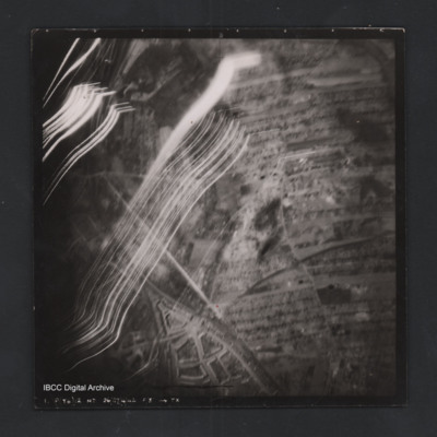
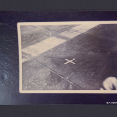
Rotterdam Drop zone marker
An aerial photograph showing a white cross on the background of a dark field with a broad white band running diagonally from left to top right. On the reverse 'Rotterdam Apr/May 1945. Cross is white sheets. 'Fingers bottom right in fact are Bullets…
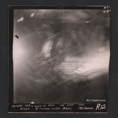
Rouen
Vertical aerial photograph of Rouen. Street pattern just visible but most of the image is obscured by bombs, smoke and anti-aircraft fire. Captioned at top right ‘4B 4B’. Captioned '646 WKY 18/19.4.44 // NT 8” 9000’ [arrow] 029° 0021 Rouen Q…
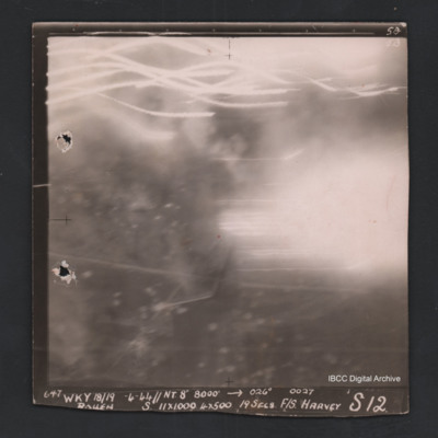
Rouen
Vertical aerial photograph of Rouen. No ground detail visible, most of the image is obscured by flares or anti-aircraft fire. Captioned ‘5B 5B’and ‘647 Wky 18/19-4-44 //NT 8” 8000’ [arrow] 026° 0027 Rouen S 11x1000 4x500 19secs F/S…
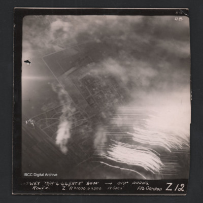
Rouen
Vertical aerial photograph of Rouen. Street patterns are visible but most of the image is obscured by flares or anti-aircraft fire. Captioned at top right ‘4B 4B’. Captioned along the bottom ‘[undecipherable] Wky 18/19-4-44 //NT 8” 8400’…
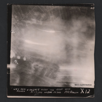
Rouen
Vertical aerial photograph of Rouen. Street pattern just visible but most of the image is obscured by bombs, smoke and anti-aircraft fire. Captioned at top right ‘4B 4B’. Captioned '[undecipherable] WKY 18/19.4.44 // NT 8” 10000’ [arrow]…
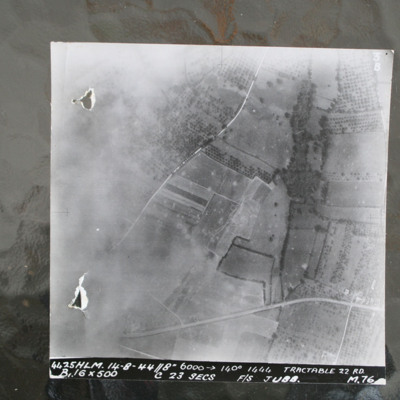
Route National 158
Image shows open countryside with Route National 158 between Caen and Falaise. Captioned '4425HLM.14-8-44//8" 6000 >140 degrees 1444 Tractable 22 RD, B16x500 c 23 secs F/S Jubb M76'.
Identification kindly provided by Ray Moroney of the Finding the…
Identification kindly provided by Ray Moroney of the Finding the…

