Browse Items (1442 total)
- Tags: aerial photograph
Sort by:
Map and photographs of targets
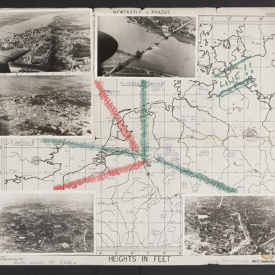
Map (Newcastle to Prague) with five photographs overlaid with lines leading to their locations on map. Top left - a town with destroyed buildings below a wide river with a bridge. Aircraft port outer engine and wingtip visible. Captioned 'Emmerich'.…
Tags: aerial photograph; bombing; Cook’s tour
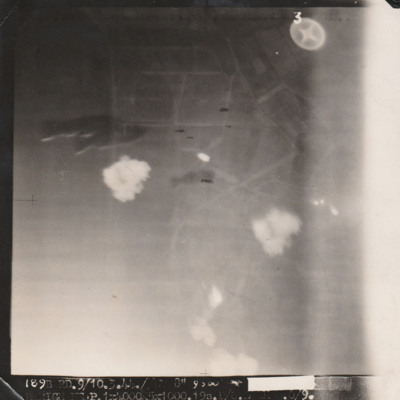
Marignane
Target photograph with indistinct ground but several bombs visible centre left and centre. Caption mostly unreadable '[....], 9/10.3.44, Marignane P. 1 x 4000, 5 x 1000, 19s [..]'.
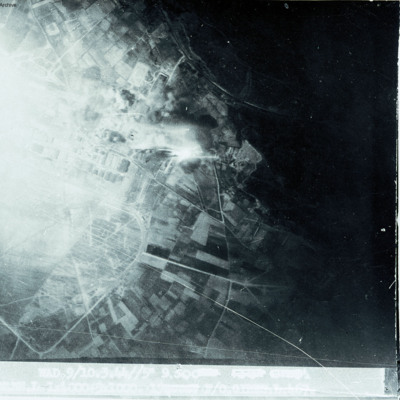
Marignane
Show open countryside on right with built up area on left.
Marignane
Target photograph of Marignane. No detail visible, almost completely obscured. Captioned '8', '244 FISK.9/10/3/44.//NT.8" 10000.[arrow][heading and time censored] MARIGNANE RD.. 1X4000. 5X 100. 21secs [censored] B/50'. On the reverse ' [underlined]…
Marquise Minoyecques
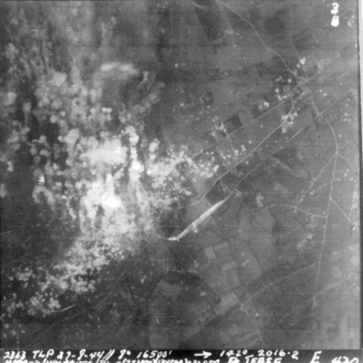
A vertical aerial photograph of Marquise Minoyecques during a bombing operation. The left side of the image is obscured by explosions.
It is captioned '2363 TLP 27-8-44//8" 16500' -->142° 2016.2 Marquis/Mimoques (B) E(2x1000) (13x500) c 32 sec F/S…
It is captioned '2363 TLP 27-8-44//8" 16500' -->142° 2016.2 Marquis/Mimoques (B) E(2x1000) (13x500) c 32 sec F/S…
Marseilles
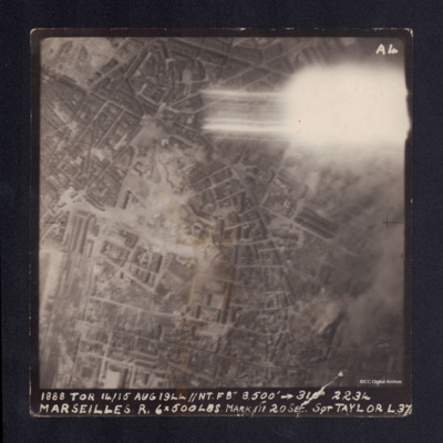
A vertical aerial photograph taken during the bombing of Marseilles. The top right corner is obscured by a flash. It is captioned '1888 TOR 14/15 AUG 1944 //NT.F8" 8,500' --> 310° 2234 MARSEILLES R. 6x500lbs Mark III 20 sec Sgt TAYLOR L37'.
Marseilles/Marignane
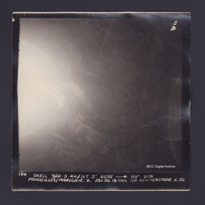
Target photograph of Marseille/ Marignane. Partially obscured by ball of light and light streaks. Rural area, field pattern and roads visible. Captioned '5B', '190 SKELL 9/10-3-44//NT. 5" 8250' [arrow] 126° 0131 MARSEILLES/MARIGANE. X. 25X30.…
Marshaling Yards at Hamm
Aerial inclined photograph showing a large number of railway sidings running from left to right. At the bottom left is a railway turntable with a large number of tracks spreading out towards a large building on the right hand side with part of its…
Tags: aerial photograph; bombing; Cook’s tour
Marshalling Yards at Hamm
Aerial inclined photograph showing railway sidings running diagonally from left to right with a large number of interspersed bomb craters. Around the craters in the bottom left quadrant the railway tracks have been twisted and broken. Three lines of…
Tags: aerial photograph; bombing; Cook’s tour
Martinet and Milfield airfield
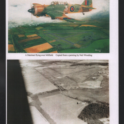
Top - titled 'Milfield X Squadron'. Copy of a painting of side view of an airborne Martinet in brown and green camouflage flying to left with fields below. Captioned 'A Martinet flying over Milfield. Copied from a painting by Noel Wooding'.
Bottom…
Bottom…
Tags: aerial photograph; arts and crafts; Martinet
Matesevo-Kolasin road
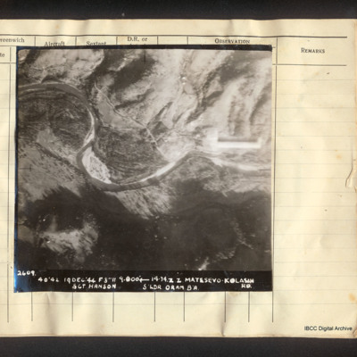
Vertical aerial photograph of Matesevo-Kolasin Road. The Tapa river meanders through the centre of the image. Adjacent is flatter land but to the top and bottom are hills. A road partly follows the river. Captioned '2609. 40/42 19 Dec '44 F8 // 9000'…
Matsevo
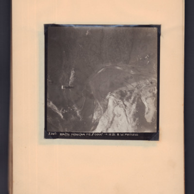
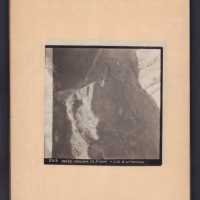
Target photograph showing open countryside. A supply container is visible in mid air on the left hand side, a road snakes from bottom left to centre right. Captioned '2360, 104/38, 19 Dec 44, F8, 6000 ft, →1521, B W Matsevo'.
Matsevo
Target photograph of open country with road snaking middle left to top right then to bottom right. Captioned '2363, 104/38, 19/Dec/44, F8, 6000 ft, →5121, B.W.Matsevo'.
Maupertus airfield Cherbourg
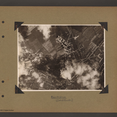
Aerial vertical photograph showing open countryside. A road runs from left diagonally slightly up to the right side middle. There is a junction half way along where another road leads off upward to the top. Bomb explosions are visible. Captioned…
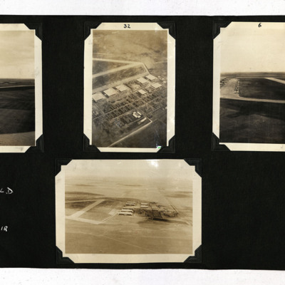
McDonald from the Air
Four photographs from an album.
Photo 1 and 4 are low level obliques of the airfield and hangars.
Photo 2 is a high level oblique of the hangars and other buildings with the runways at the top.
Photo 3 is a low level oblique of the apron with many…
Photo 1 and 4 are low level obliques of the airfield and hangars.
Photo 2 is a high level oblique of the hangars and other buildings with the runways at the top.
Photo 3 is a low level oblique of the apron with many…
Tags: aerial photograph; hangar; training
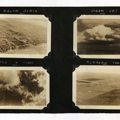
McDonald Views
Four photographs from an album.
Photo 1 is a low level aerial oblique of Delta beach, Manitoba, Canada with the Delta channel shown, looking southwest. Captioned 'Delta Beach'.
Photo 2 is of towering clouds, captioned 'Storm Up!'.
Photo 3 is a…
Photo 1 is a low level aerial oblique of Delta beach, Manitoba, Canada with the Delta channel shown, looking southwest. Captioned 'Delta Beach'.
Photo 2 is of towering clouds, captioned 'Storm Up!'.
Photo 3 is a…
Tags: aerial photograph; Battle
Medicine Hat
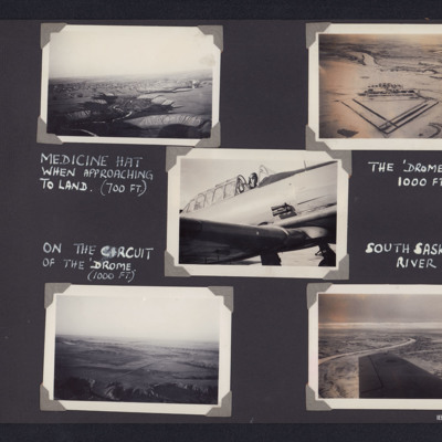
Top left - air to ground view of river valley winding up from bottom with terraces either side and a town in middle distance. Captioned 'Medicine Hat when approaching to land (700 Ft)'. Top right - air to ground view of an airfield with triangular…
Tags: aerial photograph; Harvard; runway
Men at Manston
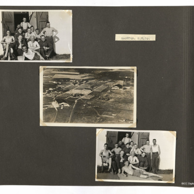
Top left and bottom right photographs both show men outside a building and the centre photo shows various buildings at Manston.
Tags: aerial photograph; RAF Manston
Merchant ships at sea
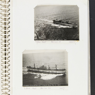
Top a merchant vessel at sea captioned 'T2070 STD 13 JUNE 45// 13/517 F6 3/8 M.V. POSN 25 250' and '13 June 1945 Position 25 250 FT'.
Bottom a merchant vessel at sea captioned 'T2069 STD 13 JUNE 45// 13/517 F6 3/8 'WILLIAM D BYRON' POSN 24 100FT'…
Bottom a merchant vessel at sea captioned 'T2069 STD 13 JUNE 45// 13/517 F6 3/8 'WILLIAM D BYRON' POSN 24 100FT'…
Tags: 517 Squadron; aerial photograph
Merseburg
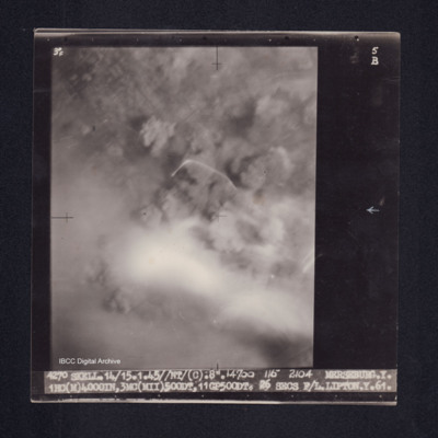
Target photograph of Merseburg. Completely obscured by smoke, dust and haze. Some light streaks, no detail visible. Captioned '3°F', '5B', '4270 SKELL.14/15.1.45//NT/(C) .8". 14700 116° 2104 MERSEBURG.Y. 1HC(M)4000IN,3MC(MII)500DT, 11GP500DT. 26…
Merseburg
Target photograph of Merseburg. Captioned '3F', '5B', 7549 Wed. 14/15.1.45//NT 8"/O.18400 118 2100 MERSEBURG. S. 1x4000(Min) 9x500 GP (DT. 30secs. F/O CROSS. S. 467'.
Metz
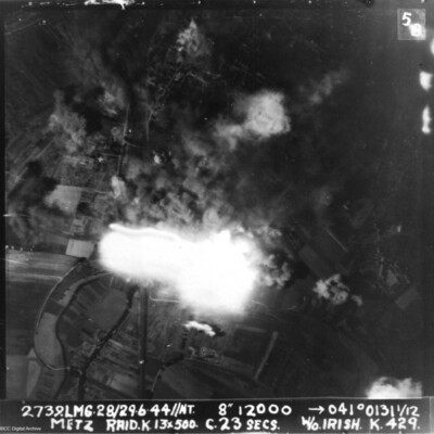
A vertical aerial photograph of Metz taken during a bombing operation. Much of the image is obscured by explosions.
It is annotated '2739.LMG. 28/29.6.44 // NT 8" 12000 --> 041°0131 1/12 Metz Raid. K. 13x 500 c.23 secs W/O Irish . K.429.'
It is annotated '2739.LMG. 28/29.6.44 // NT 8" 12000 --> 041°0131 1/12 Metz Raid. K. 13x 500 c.23 secs W/O Irish . K.429.'
Metz
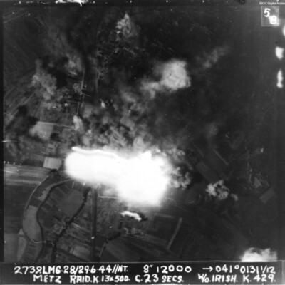
Vertical aerial photograph taken during an attack on Metz. The centre of the image is obscured by explosions. The caption reads '2739.LMG.28/29.6.44//NT. 8" 12000 -->041° 0131 1/12 Metz Raid. L 13*500 C.23 secs W/O Irish K 429'.
Miami Oklahoma
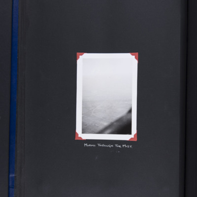
Oblique aerial photograph of fields. Railway runs up from bottom centre and crosses a road which curves away. Looking east towards Miami which is lost in the distance. At the bottom, part of aircraft. Captioned 'Miami through the mist'. Includes is a…

