Browse Items (1442 total)
- Tags: aerial photograph
Sort by:
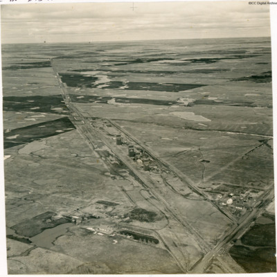
Josephburg Grain Silos
An oblique aerial photograph of four grain silos.
In Bob's memoirs he identifies these as being at Josephburg, close to Fort Saskatchewan.
In Bob's memoirs he identifies these as being at Josephburg, close to Fort Saskatchewan.
Tags: aerial photograph
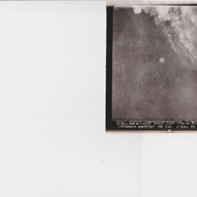
Julich
A vertical aerial photograph taken during an operation at Julich. The top right quarter is obscured by smoke and explosions. In the bottom right is a Halifax. The image is captioned ' 2792 L.SGN 16-11-44 // 8" 15000' 1536.36 Julich R .1 HC4000 IN…
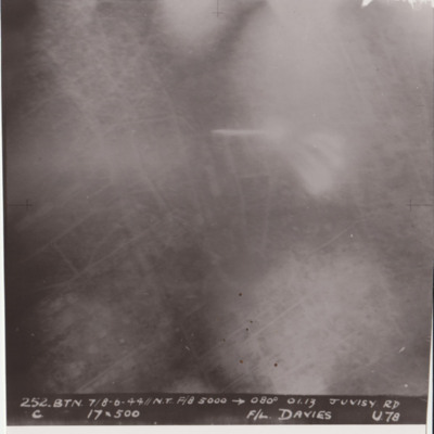
Juvisy
Target photograph shows glare and explosions. Built up area roads are faintly visible. Captioned '252.BTN 7/8-6-44//NT F/8, 5000, 080 degrees, 01.13, JUVISY RD, C, 19x500, F/L DAVIES, U78'. Submitted in folder titled 'U-Uncle Target Images'.
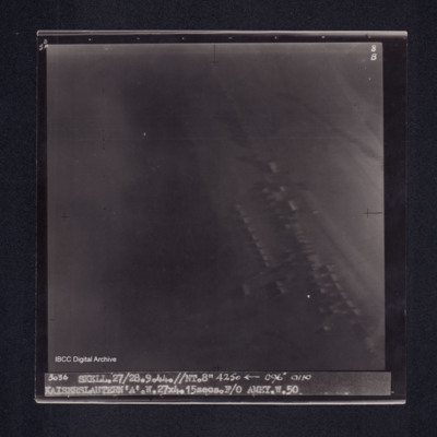
Kaiserslautern
Target photograph of Kaiserslautern. Little detail visible, appears urban area, structures are visible. Captioned '5°F', '8B', '3036 SKELL.27/28.9.44.//NT.8" 4250 [arrow] 096° 0110 KAISERSLAUTERN 'A'.W.27X4.15secs.F/O AMEY.W.50.'. On the reverse…
Kamen
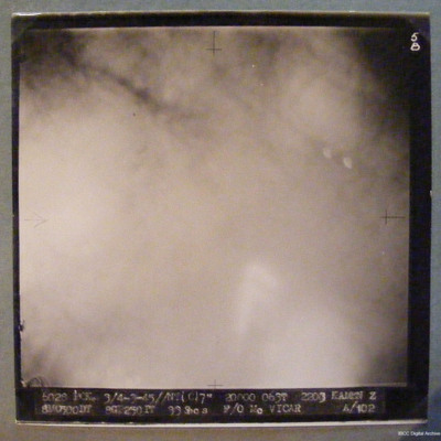
Target completely obscured by smoke/dust/cloud. Captioned '6028 PCK 3/4-3-45//NT(C)7" 20000 063T 2303 KAMEN Z 8M0500DT 8GT250IT 33Secs F/O McVICAR A/102'
Kamen and Hanover
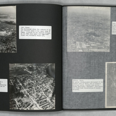
Two low level oblique aerial photographs.
Photograph one shows the remains of an oil refinery at Kamen. Bomb damage is visible throughout.
Photograph two was taken during a Cook's tour. It shows the urban, manufacturing centre of Hanover with…
Photograph one shows the remains of an oil refinery at Kamen. Bomb damage is visible throughout.
Photograph two was taken during a Cook's tour. It shows the urban, manufacturing centre of Hanover with…
Tags: aerial photograph; bombing; Cook’s tour
Kansas City and airmen relaxing
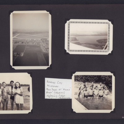
Four photographs from an album.
#1 is an aerial view of Fairfax airfield, Kansas City
#2 is an aerial view of lakes.
#3 is two airmen in swimming shorts and two women in swimming costumes.
#4 is eight airmen in swimming trunks posing at the edge…
#1 is an aerial view of Fairfax airfield, Kansas City
#2 is an aerial view of lakes.
#3 is two airmen in swimming shorts and two women in swimming costumes.
#4 is eight airmen in swimming trunks posing at the edge…
Tags: aerial photograph; aircrew
Karlsruhe
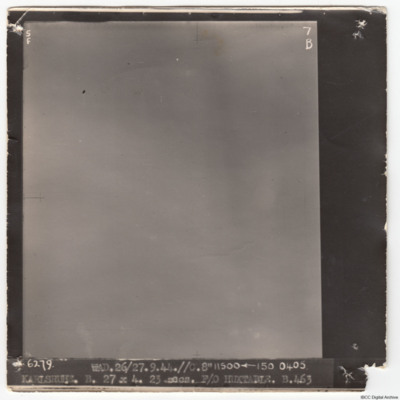
A vertical aerial photograph of Karlsruhe. No detail is visible due to cloud. It is captioned '6279 WAD. 26/27.9.44.//C.8" 11500
Karlsruhe
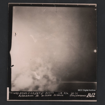
Vertical aerial photograph of Karlsruhe. The image is largely obscured by cloud or fires and no detail is visible. Captioned ‘735 WKY 24/25’4’44 //NT 8” 22000 [arrow] 276 0035 Karlsruhe B 6 X 2000 31 secs P/O L’Estrange B12’.
Karlsruhe
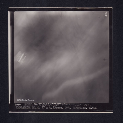
Target photograph of Karlsruhe. No detail visible, totally obscured by smoke/haze, small patch of light streaks. Captioned '8B', '2980 SKELL.26/27.9.44//NT.8" 11500 [arrow] 120° 0402 KARLSRUHE RD.M. 27X4.23secs. F/O MOUNTAIN. M.50.' On the reverse…
Kassel
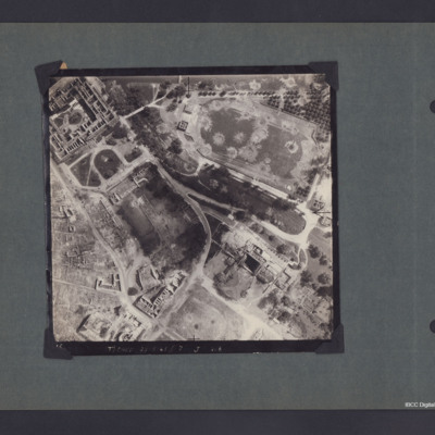
A vertical aerial photograph of Kassel showing the football stadium and extensive damage. Captioned '(T) Ched 23.5.45//7" J 218'.
On the reverse 'Crown Copyright Reserved' and 'Kasel'.
On the reverse 'Crown Copyright Reserved' and 'Kasel'.
Kassel and a Bridge near Coblenz
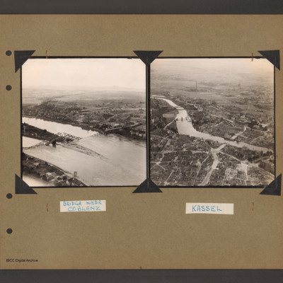
On the left an oblique aerial photograph of the River Rhine with a destroyed steel girder bridge with both spans collapsed into the river. This is the Raiffeisen road bridge. The Rhine which is running left to right, is split at this point into two…
Kelly Field
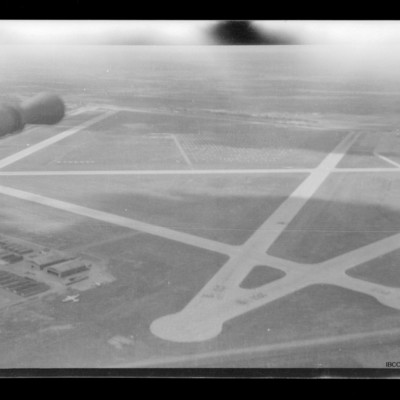
Air to ground view of Kelly Field taken from turret. Barrel of gun visible top left. Hangars on the ground bottom left with aircraft parked on their right.
Kiel
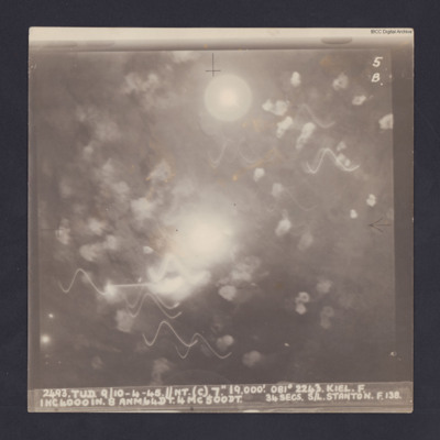
Target photograph for an operation to Kiel. It shows light trails and smoke, including multiple Flax bursts but no ground detail. It is annotated '5B' and captioned:
'2493. TUD. 9/10-4-45. //NT. (C). 7". 19,000'. 081 º 2243. KEIL. F.
1HC4000IN. 8…
'2493. TUD. 9/10-4-45. //NT. (C). 7". 19,000'. 081 º 2243. KEIL. F.
1HC4000IN. 8…
Kiel
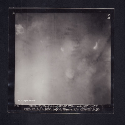
Target photograph of Kiel. Obscured by smoke, bomb explosions just visible. Captioned '3°F', '7B', '1435 SKELL.23/24.7.44.//NT. 8" 17500' [arrow] 150° 0127 KIEL RD.D.11X1000.4X500.28secs.F/O CURPHEY.D.50'. On the reverse '[underlined] F/O CURPHEY…
Kiel
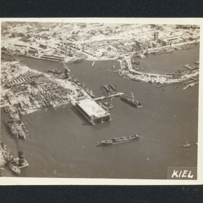
Aerial oblique photograph of bomb damage of shipyards at Kiel. Many damaged buildings and workshops. Large covered dock is undamaged, as are several cranes.. Captioned 'Kiel'.
Tags: aerial photograph; bombing
Kiel
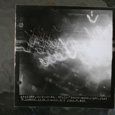
Night target photograph showing glare and anti-aircraft tracer. Captioned 'DRF.15/16-9-44//NT(C) 8"19000 >192.0120.Kiel.1x2000.11x4.30secs.F/S Jubb.T.462'.
This item was sent to the IBCC Digital Archive already in digital form. No better quality…
This item was sent to the IBCC Digital Archive already in digital form. No better quality…
Kiel
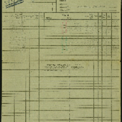
Operation 24 for the crew. Three navigation log sheets showing the route to be flown and the observations taken. A plotting map showing the route to the target. A target photograph in which a large area of bright light obscures everything on the…
Kiel
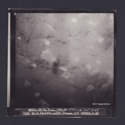
Target photograph of Kiel. Obscured by smoke and dust, some bomb explosions visible. Captioned '3°F', '6B', '1447 SKELL.23/24.7.44//NT.8" 18750 [arrow] 100° 0128 KIEL RD.N.11X1000.4X500.30secs.S/L STUBBS.O.50'. 'On the reverse '[underlined] S/L…
Kiel
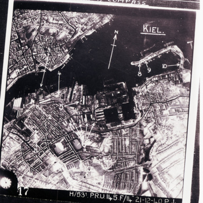
Reconnaissance photograph of Kiel port area and city with targets indicated by arrows. Text above 'we were issued wit escape kit for [missing] consisting of currency and maps for [missing] flew over, emergency survival [missing] wakey pills and a…
Kiel
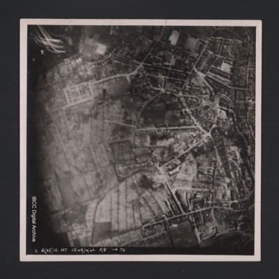
Vertical aerial photograph of an urban area at the top and right hand side. Street patterns and parks are clearly visible. At the bottom it is captioned ‘1. R(X5) 12 NT 28/29/4/42 F/8” [arrow] TX’.
Koblenz
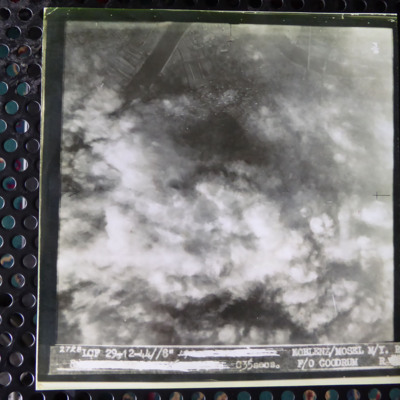
A vertical aerial photograph of an attack on Koblenz. Most of the image is obscured by cloud and bomb explosions. In the top left corner is a wide river. It is captioned '2728 LCF 29-12-44// 8" [deleted] Koblenz/Mosel M/Y R [deleted] C35 secs F/O…
Koblenz
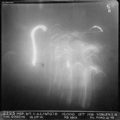
A vertical aerial photograph of Koblenz during a night operation. The centre of the image is obscured by anti-aircraft fire. No detail is visible on the ground. Annotated '2225 MEP 6/7.11.44/NT(C)8” 19,000. 127[degrees] 1931 KOBLENZ Z.Q IHC 4000 IN…
Koblenz and Homberg
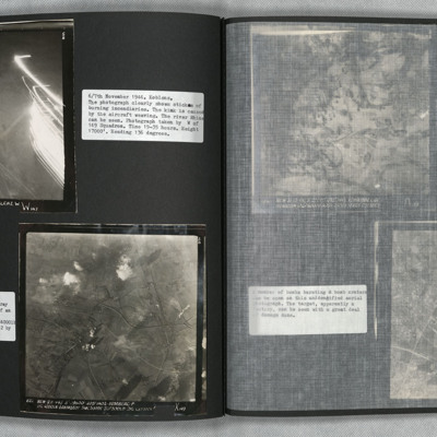
Photo 1 is a vertical aerial photograph of Koblenz. The river can be seen and falling sticks of incendiaries.
Photo 2 is a vertical aerial photograph of Homberg. The image is very clear with only a few explosions hiding the detail.
Photo 2 is a vertical aerial photograph of Homberg. The image is very clear with only a few explosions hiding the detail.
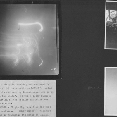
Koblenz, flight engineer and Lancaster
Three photographs from an album.
Photo 1 is a target photograph of a night attack on Koblenz. All detail is obscured by target indicators and incendiaries.
Photo 2 is Terry's flight engineer seen from the bomb aimer's position.
Photo 3 is a…
Photo 1 is a target photograph of a night attack on Koblenz. All detail is obscured by target indicators and incendiaries.
Photo 2 is Terry's flight engineer seen from the bomb aimer's position.
Photo 3 is a…

