Browse Items (754 total)
- Tags: target photograph
Sort by:
Politz
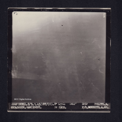
Target photograph of Politz. Partially obscured by ball of light and haze, no clear detail visible. Captioned '5[degreesF', '5B', '4385 SKELL.8/9.2.45//NT(C).8" 10750 065° 2121 POLITZ.A. 1HC4000IN. 14MC500DT. 21secs. F/O MOURITZ.A.61.'. On the…
Politz
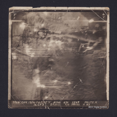
Vertical aerial target photograph of Politz oil refinery. It is annotated '3966.CON.13/14-1-45//NT.7" 18500 070 22:09 Politz H. 14CP3 29 secs F/O Inniss H 83'
Politz
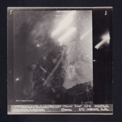
Target photograph of Politz. Partially obscured by light streaks, some bomb explosions, no clear detail. Captioned '3° F', '6B', '4237 SKELL.13/14.1.45//NT(C)8" 17000' 320° 2216 POLITZ.P. 1HC4000IN.14MC500DT. 27secs. F/O. COOKSEY. P.61.'. On the…
Ponte della Priula
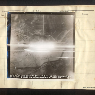
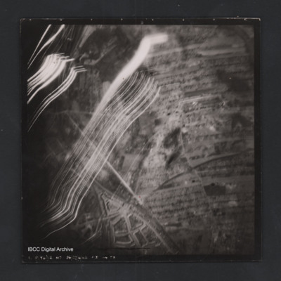
Vertical aerial photograph of the Ponte della Priula area. The centre is obscured by bright light and tracers. The Piave river meanders across the lower half of the image; the strada statale 13 Pontebbana and the Venezia – Udine railway line are…
Portes Les Valences
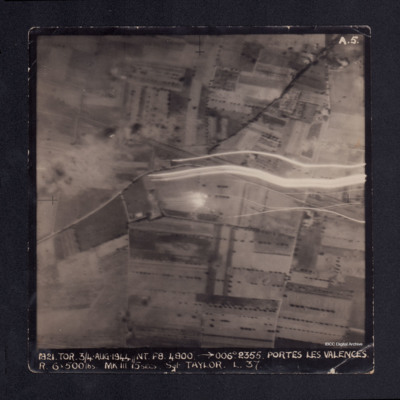
A vertical aerial photograph taken during the bombing of Portes les Valences. Anti-aircraft fire can be seen on the image. It is captioned '1821 TOR 3/4 Aug 1944//NT F8 4800 -->006° 2355. PORTES LES VALENCES. R.6 x 500 lbs MkIII 15 secs Sgt TAYLOR…
Proof of PPP
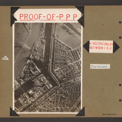
First page has aerial vertical photograph of canal and dock basin with town to the right hand side. A river runs down the left side with two ships moored on the right side. A further barge is in midstream at the tip. A canal runs from top to middle…
Propaganda leaflets
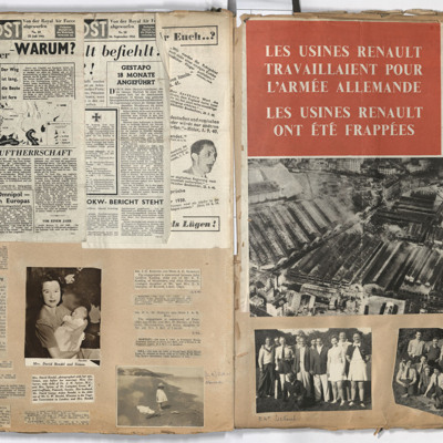
Left page: top, the Luftpost, numbers 10 and 18.
Middle, left report of an aircraft landing on a car.
Middle centre, woman holding a baby, reports of engagements and births of babies.
Bottom left, report of the death of Lieutenant Geoffrey William…
Middle, left report of an aircraft landing on a car.
Middle centre, woman holding a baby, reports of engagements and births of babies.
Bottom left, report of the death of Lieutenant Geoffrey William…
Prouville
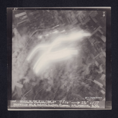
Target photograph of Prouville. Photograph partially obscured by smoke and light streaks. Captioned '5F', '7B', '1115 SKELL.24/25.6.44//NT.8" 9500' [arrow] 280° 0035 PROUVILLE.RD.B.2X1000.14X500.21secs. P/O PETHICK.B.50.
Railway Marshalling Yards Nantes
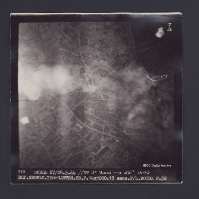
Target photograph of Railway Marshalling Yards Nantes. Urban area, some smoke and dust. street patterns and buildings visible but no clear detail. Captioned '7B', '889 SKELL 27/28.5.44 //NT 8" 9000' [arrow] 251° 0140…
Raimbert
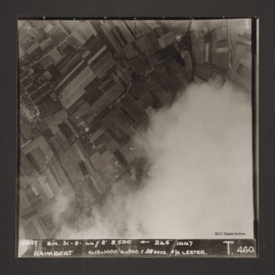
Vertical aerial photograph of Raimbert V-2 storage site. The bottom right of the image is obscured by cloud.
Captioned '6051 Bin. 31-8-44//8" 8,800'
Captioned '6051 Bin. 31-8-44//8" 8,800'
Rennes
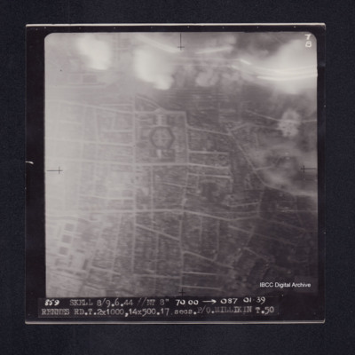
Target photograph of Rennes. Smoke and light streaks partially obscure top quarter of photograph. Railway marshalling yard top centre, prison just below it. Captioned '7B', '859 SKELL 8/9.6.44 //NT 8" 7000' [arrow] 087 0139 RENNES RD.T.2X1000,…
Rennes
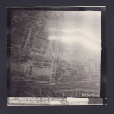
Target photograph of Rennes. Top right obscured by smoke and light streaks, urban area, street pattern and buildings visible. Captioned '5', '865 SKELL 8/9.6.44 //NT 8" 4000 [arrow] [track and time censored] RENNES RD.B.2X1000.14X500.[exposure…
Rheydt
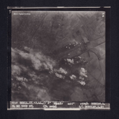
Target photograph of Rheydt. Partially obscured by bomb explosions, smoke and dust. Where visible mainly rural, roads and field patterns visible. Captioned '3°F', '4B', '4043 SKELL.27.12.44.// 8" 16250' 055[degrees 15041/2 RHEYT.L. 14 MC 1000 DT.…
Rheydt
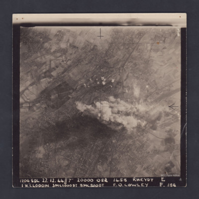
A clear, vertical, aerial photograph taken during a bombing operation at Rheydt, a borough of Mönchengladbach, orientated with south-east at the top edge. There are open fields visible in the upper left, upper right and the lower right corners of…
Rheydt
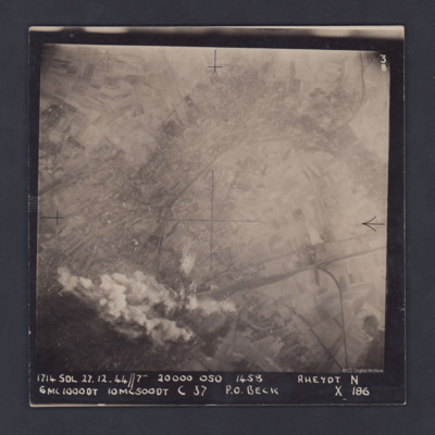
A vertical aerial photograph of Rheydt, near Mönchengladbach. The railways clearly stand out, one entering the image at lower right, branching out into a marshalling yard and another sweeping in from the upper right corner of the image. The centre…
Rheydt
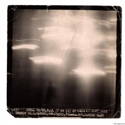
A target photograph taken on an operation to Rheydt. The ground detail is obscured by glare and light trails. Photograph is captioned:
'2533 SKELL 19/20.9.44 // NT (C) 8" 11000 ← 014° 2153
RHEYDT RD.Z. 1x2000, 12 'J' x 500. 21 secs. F/O.…
'2533 SKELL 19/20.9.44 // NT (C) 8" 11000 ← 014° 2153
RHEYDT RD.Z. 1x2000, 12 'J' x 500. 21 secs. F/O.…
Rheydt
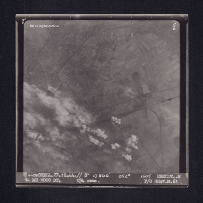
Target photograph of Rheydt. Partially obscured by smoke, dust and bomb explosions, visible area is mainly rural, railway lines, field patterns and houses visible. Captioned '3°F', '5B', '4058 SKELL.27.12.44.// 8" 17500' 052° 1505 RHEYDT. M 14 MC…
Rheydt
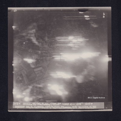
Target photograph of Rheydt. Large area obscured by light streaks but roads and open spaces in an urban area visible. Captioned '5°F', '6B', '2524 Skell.19/20.9.44//NT.8" 11000 [arrow] 015° 2154 RHEYDT RD.S.1X2000.12'J'X500.21secs.F/O MARRIS.O.50'.…
Rimini
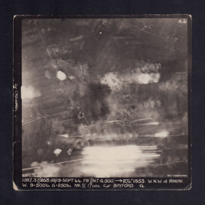
A vertical aerial photograph taken during the bombing of Rimini. Most of the image is obscured by bomb explosions and anti-aircraft fire. It is captioned 'Sgt CROUCHER (AIR BOMBER)' on LH side. At bottom: '2187.37/263. 18/19 Sept.44.F8"//NT.…
Rly. Mrshlg Yds-Nantes
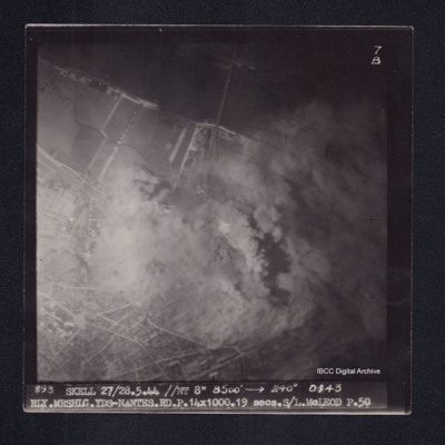
Target photograph of Nantes railway marshalling yards. Partially obscured by smoke and dust, river Loire and bridge visible. Lower third of photograph urban area, street patterns visible. Captioned '7B', '893 SKELL 27/28.5.44 //NT 8" 8500' [arrow]…
Road south of Stenica
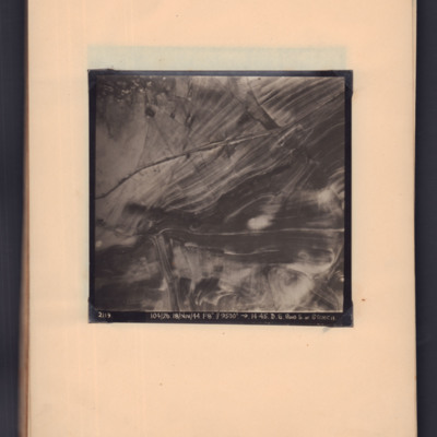
Target photograph showing road running left middle to top right through open countryside. Captioned '2119, 104/26, 18/Nov/44, F8, 9500 ft, →14.45, D.S. Road S. of Stenica'.
Rollencourt
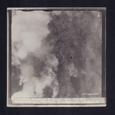
Target photograph of Rollencourt. Red dot centre right. Partially obscured by cloud, visible area rural, field patterns and bomb explosions visible. Captioned '5°F', 5B', '2439 SKELL.31.8.44// 8" 14000' [arrow] 172° 1812 ROLLENCOURT…
Rositz
A vertical aerial photograph taken during an operation at Rositz. No detail is visible on the ground.
It is captioned '4438 Skell. 14/15.2.45//NT/ (C). 8" 8500' 354° 2108 Rositz. T. 1HC4000IN.4MC500DT.4ANM64DT.6MC500LD. 21 secs. F/L.…
It is captioned '4438 Skell. 14/15.2.45//NT/ (C). 8" 8500' 354° 2108 Rositz. T. 1HC4000IN.4MC500DT.4ANM64DT.6MC500LD. 21 secs. F/L.…
Rostock
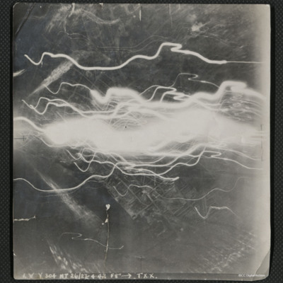
A vertical aerial photograph of the docks at Rostock, taken during an operation. The centre of the image is obscured by flashes of light.
The image is captioned 'I.V.Y. 304 NT 26/27.4.42 f8" --> T.X.X.'
On the reverse is handwritten 'Rostock'.
The image is captioned 'I.V.Y. 304 NT 26/27.4.42 f8" --> T.X.X.'
On the reverse is handwritten 'Rostock'.
Rostock
Vertical aerial photograph of a railway junction. At the bottom is Rostock urban area. Anti-aircraft trace fire obscures part of the left side. Captioned ‘1. P(Y6) 12 NT 26/27/4/42 F/8” [arrow] TX’, on the reverse 2500’ W of old…

