Browse Items (687 total)
- Conforms To is exactly "Geolocated"
Sort by:
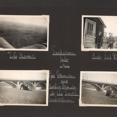
Saskatoon
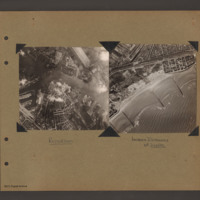
Three vertical aerial photographs on two pages:
Photo 1 is a grain elevator, captioned 'Government Grain Elevator'.
Photo 2 is a bridge crossing a river, captioned 'Main rail bridge over S Sask R'.
Photo 3 is a railway and town, captioned…
Photo 1 is a grain elevator, captioned 'Government Grain Elevator'.
Photo 2 is a bridge crossing a river, captioned 'Main rail bridge over S Sask R'.
Photo 3 is a railway and town, captioned…
Tags: aerial photograph; training
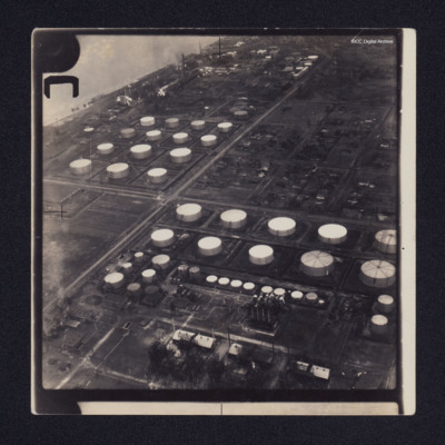
Sarnia oil refinery and St Clair River
Two low angle oblique aerial photographs of Sarnia oil refinery on the St Clair River. Photograph 1 is mostly storage tanks; photograph 2 is of tanks and production facilities.
Identification kindly provided by Richard Evans of the Finding the…
Identification kindly provided by Richard Evans of the Finding the…
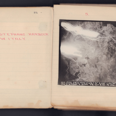
Santo Stefano Harbour
A vertical aerial photograph taken during an operation. The top left of the image is obscured by explosions and light flashes but much ground detail is visible on the image.
It is captioned '1211. Fog. 28/29 May 44 // N.T. 8" 9000' -> 135° 00.12…
It is captioned '1211. Fog. 28/29 May 44 // N.T. 8" 9000' -> 135° 00.12…
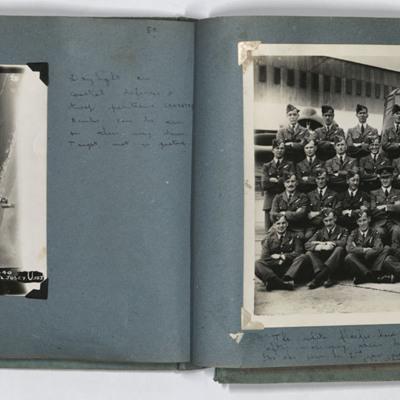
Sangatte and course photograph
LH page, target photograph of the coastline southwest of Sangatte, with the current D940 road. Captioned '953 EWS 20.9.44// 8" 3000 120 (degrees) 1640 Sangatte ? U 13 X 1000 4 X 500 16secs F/L Josey U 103'. Handwritten caption 'Daylight on coastal…
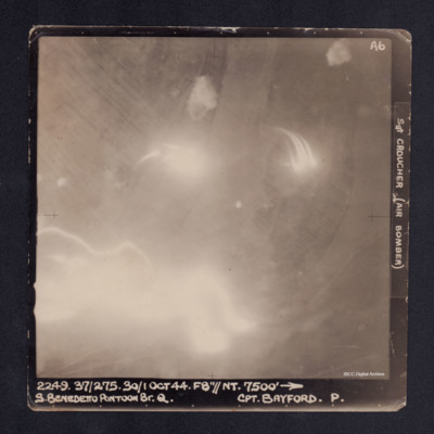
San Benedetto Pontoon Bridge
A vertical aerial photograph of the San Benedetto pontoon bridge. Most of the image is obscured by anti-aircraft fire. It is captioned '2249. 37/275. 30/1 Oct 44. F8"//NT.7500' --> S. BENEDETTO PONTOON BR.Q. Cpt BAYFORD. P. Sgt CROUCHER (Air…
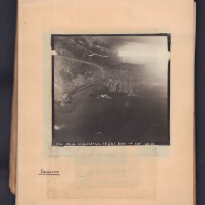
Salonika
Target photograph showing a coastline running middle left to middle right. Bay on left, town and port towards the right side. Explosions visible in bay. Captioned '1912.104/6, 21/22 Sept 44, F8, NT, 8100 ft,→ 130 degrees, 20.01'. Handwritten below…
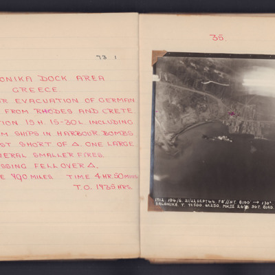
Salonika
A target photograph for an operation to Salonika (Thessaloniki). Thessaloniki Bay occupies the lower half of the image and the upper right corner is obscured by light traces. The coastline and dock area are visible. There appears to be a ship in the…
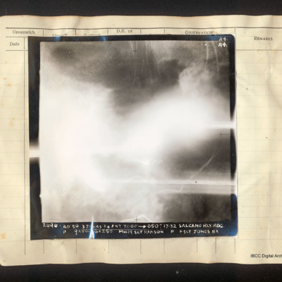
Salcano railway bridge
Vertical aerial photograph of the Salcano railway bridge, most of the frame is obscured by cloud. There is a road on the right side and some railway lines at the top. Captioned 'A4 A4 2696 40/50 3 Jan 45 F8//NT 7000' [arrow] 050° 17.32 Salcano Rly.…
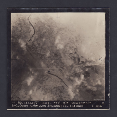
Saarbrucken
A vertical aerial photograph of the centre of Saarbrücken, orientated with south-east at the top and clearly showing the River Saar. Cloud and/or smoke covers parts of the town but residential areas, the railway and other details can still be seen.…
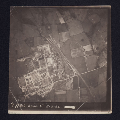
Royal Electrical & Mechanical Engineers (REME) Old Dalby, 35 Base Workshops
Aerial photograph of a newly constructed facility with rail tracks leading into at least two tunnels.
It is annotated '711 812 6000 5" 11-6-44'
It is annotated '711 812 6000 5" 11-6-44'
Tags: aerial photograph
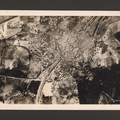
Royal Air Force Bomber Command attacks on enemy communications
Reconnaissance photograph showing the Mitelland Canal at Gravenhorst running from top right to centre bottom. A large area in the centre is completely covered with craters and the canal has disappeared. To the right bottom a large wooded area and to…
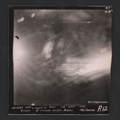
Rouen
Vertical aerial photograph of Rouen. Street pattern just visible but most of the image is obscured by bombs, smoke and anti-aircraft fire. Captioned at top right ‘4B 4B’. Captioned '646 WKY 18/19.4.44 // NT 8” 9000’ [arrow] 029° 0021 Rouen Q…
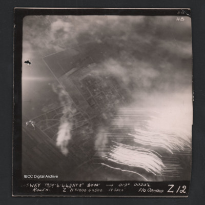
Rouen
Vertical aerial photograph of Rouen. Street patterns are visible but most of the image is obscured by flares or anti-aircraft fire. Captioned at top right ‘4B 4B’. Captioned along the bottom ‘[undecipherable] Wky 18/19-4-44 //NT 8” 8400’…
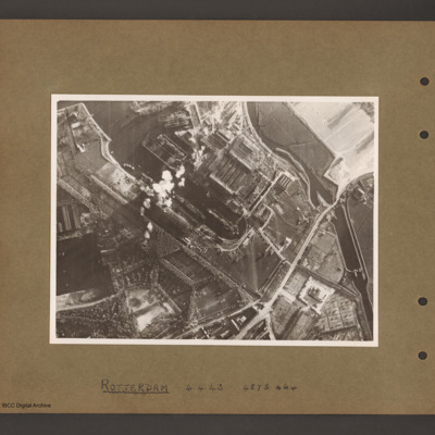
Rotterdam Docks
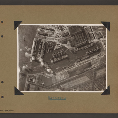
An aerial vertical photograph of docks. On the right a series of interconnected canals and basins. A road runs from top right to middle bottom crossing the canal over narrow channel. A large basin goes from top left to the centre with several ships…
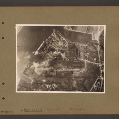
Rotterdam Docks
Aerial vertical photograph of docks. A wide river runs from top centre diagonally to bottom left. At the top an inlet and on the right side a road runs top to bottom. Below the inlet and between road and river is a large basin with docks running off…
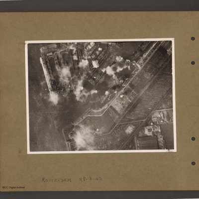
Rotterdam Docks
Aerial vertical photograph of docks. On the left a river with opening to a dock basin. A number of docks with jetties lead of on the top side of the basin. There is a ship moored on the left of the second dock from left. A series of bomb explosions…
Rotterdam Docks
Aerial vertical photograph of Wilton Shipyards. On the left the Nieuwe Maas river with entrance to Vijfsluizen basin (Wiltonhaven). Several small craft are leaving it and spreading out on the river. Just inside the entrance, on the top side, several…
Rotterdam and Zeebrugge
On the left an aerial vertical photograph showing a city with a river running through from left to right with port facilities on both sides. On the far side of the river towards the left is a small indented water basin with a few ships moored.…
Rotterdam
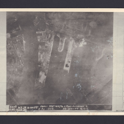
A vertical aerial photograph of the docks at Rotterdam. It is captioned '2208 W.S.29.12.44 //8" 16000 350° 1857 1/2 E Pens Rotterdam K . 1 HC 12000 DT C 30 secs F/O Leavitt R 617'.
On the reverse 'On loan P&R Darby Woodhall Spa'.
On the reverse 'On loan P&R Darby Woodhall Spa'.
Rostock
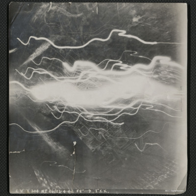
A vertical aerial photograph of the docks at Rostock, taken during an operation. The centre of the image is obscured by flashes of light.
The image is captioned 'I.V.Y. 304 NT 26/27.4.42 f8" --> T.X.X.'
On the reverse is handwritten 'Rostock'.
The image is captioned 'I.V.Y. 304 NT 26/27.4.42 f8" --> T.X.X.'
On the reverse is handwritten 'Rostock'.
Rostock
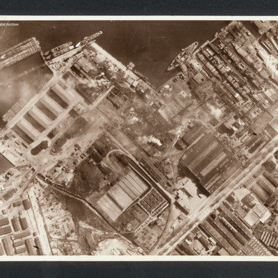
Reconnaissance photograph showing at top a port area (Naptun Shipbuilding Yards) with several ships docked. Water at top and built up area of port and industrial buildings below. Some fires visible. Captioned between pages 22-23 of 1956 Memoir…
Rostock
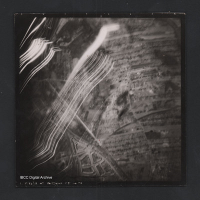
Vertical aerial photograph of a railway junction. At the bottom is Rostock urban area. Anti-aircraft trace fire obscures part of the left side. Captioned ‘1. P(Y6) 12 NT 26/27/4/42 F/8” [arrow] TX’, on the reverse 2500’ W of old…
Rostock
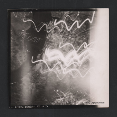
Vertical aerial photograph of Rostock. Most detail is obscured by anti-aircraft fire. The Unterwarnow and the Altstadt are partially visible. Captioned ‘1. T(Y5) 12 NT 26/27/4/42 F/8” [arrow] TX’.
Romorantin-Pruniers aerodrome
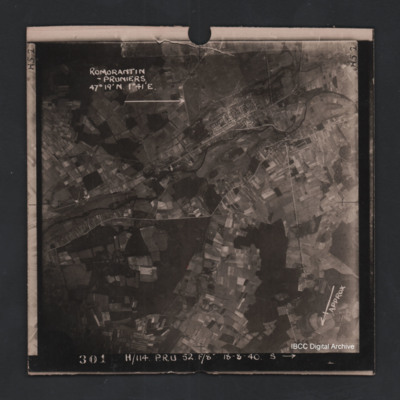
Vertical aerial photograph of Romorantin-Pruniers aerodrome, identified with text ‘Romorantin-Pruniers 46° 19’N 1°41E’. The remainder of the photograph is rural with small villages except for the airfield area which has many buildings. An…

