Browse Items (754 total)
- Tags: target photograph
Sort by:
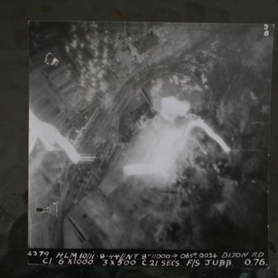
Dijon
Night target photograph showing railway with marshalling yard, glare in centre and tracer. captioned '4379.HLM 10/11-8-44//NT 8" 11000 >065degrees.0024. Dijon RD.C1 6x1000 3x500 C 21 secs F/S Jubb 0 76'.
This item was sent to the IBCC Digital…
This item was sent to the IBCC Digital…
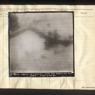
Dobolj railway bridge
Vertical aerial photograph of the railway line near Doboj and the Bosna river. There are some explosions. Captioned '2740/52 5 Jan 45 F8"// 8000° [arrow] 11.00 1/2 R.R. Dobolj Rly Bdg. Sgt. Hanson. F/Sgt Jones B/A'.
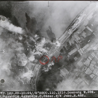
Domburg
Target photograph of sea wall with sea on left and land on right. Many bomb explosions visible. Annotated with aiming point in red ink. Captioned '2871 DRF 29-10-44//8"8,500. 110.1216. Domburg W.284, R.9 ANM59DN.4AMN64DN.C.24sec.F/S Jubb.R.462'.…
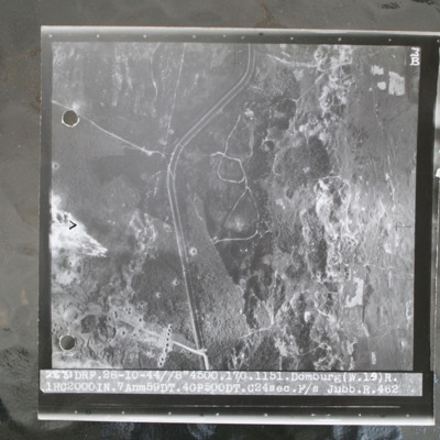
Domburg
Target photograph of open heathland with canalised ditch running top to bottom. The ditch has tracks either side and several crossing points. Craters are visible, particularly in lower left with one row crossing ditch with one crater visible within…
Domburg/Westkapelle, Walcheren Island
Operation 31 for the crew. Three sheets of a Navigation Log showing the route to be taken to and from the target and the Observations made along the way. Part of a Plotting Map showing the route to and from Domburg on Walcheren Island. On the reverse…
Donges
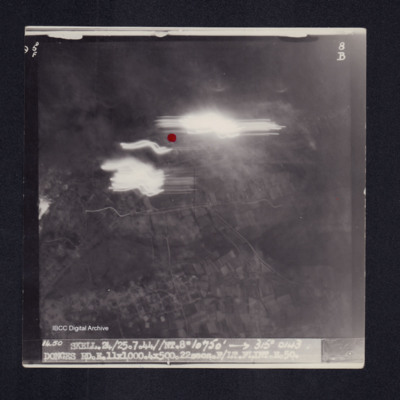
Target photograph of Donges. Light streaks and red dot just above centre of photograph. Captioned '5°F', '8B', '1450 SKELL.24/25.7.44//NT.8" 10750' [arrow] 315° 0143 DONGES RD.E.11X1000.4X500.22secs.F/LT FLINT.E.50.' On the reverse '[underlined]…
Donges
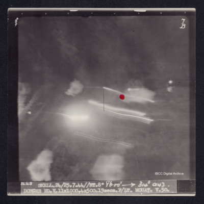
Target photograph of Donges. Little detail visible, red dot just right of centre. Light streaks and small number of explosions. Captioned '8°F', '7B', '1449 SKELL.24/25/7.44//NT.8" 8600' [arrow] 314° 0142 DONGES RD.V.11X1000,4X500.19secs.F/LT…
Dortmund
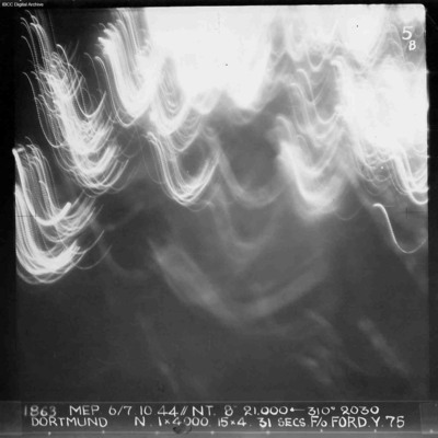
A vertical aerial photograph of Dortmund during an operation at night. No detail on the ground is visible and half the image is obscured by anti-aircraft fire. Annotated '1863 MEP 6/7.10.44// NT. 8” 21,000 [arrow] 310[degrees] 2030 DORTMUND. N. 1…
Dortmund and Cologne
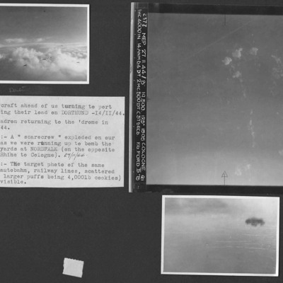
Three photographs from an album.
Photo 1 is three or four aircraft turning to port after bombing Dortmund. Aircraft shadows confuse the numbers involved.
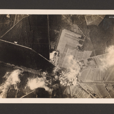
Photo 2 is a vertical aerial photograph of the marshalling yards at Nordfalk, Cologne.
Photo…
Photo 1 is three or four aircraft turning to port after bombing Dortmund. Aircraft shadows confuse the numbers involved.
Photo 2 is a vertical aerial photograph of the marshalling yards at Nordfalk, Cologne.
Photo…
Dortmund-Ems canal at Ladbergen
Target photograph showing the Canal running from middle left to bottom right. A road runs from two thirds way up left side and crosses the canal in the bottom right quarter before running to bottom edge. There are minor roads and open country and…
Dortmund-Hansa
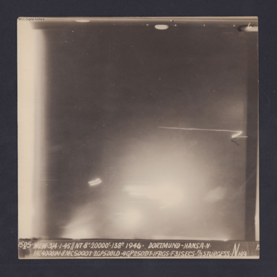
Target photograph for an operation to Dortmund - Hansa. An area of glare occupies the lower part of the image and there is another down the left side. The rest is in darkness and n ground detail is visible. The photograph is annotated '6' and…
Douai
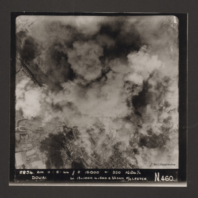
Vertical aerial photograph of Douai. In the lower half the centre of the town is visible but above that cloud and explosions obscure much of the rest. Captioned '5854 BIN 11-8-44 //8 16000' [arrow] 350° 1624 1/2 Douai Li…
Dresden
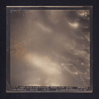
Target photograph of Dresden. No ground details are visible but the glare from fires on the ground are visible through the smoke. There are some bright spots and trails of light on the right. It is annotated "5B" and captioned: "2914. MEP.…
Duisberg
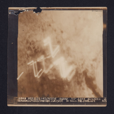
A target photograph of Duisburg. Cloud or smoke obscures the ground and there are several light trails in the centre of the photograph.
It is annotated "5B" and captioned: "2809 MEP. 22/23.1.45//NT(C)8" 19,000' 112º 2009 DUISBERG [sic]. Z…
It is annotated "5B" and captioned: "2809 MEP. 22/23.1.45//NT(C)8" 19,000' 112º 2009 DUISBERG [sic]. Z…
Duisberg
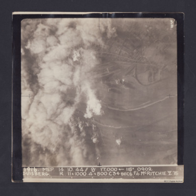
Target photograph taken on an operation to Duisberg. Left hand side is obscured by smoke or cloud and several bomb explosions can be seen. The Rhine river runs across the image, just below half height and there is built up area towards top of…
Duisberg
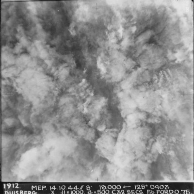
A vertical aerial photograph taken during the bombing of Duisberg. The entire image is obscured by explosions and smoke. Annotated '1912 MEP 14.10.44// 8” 18000 [arrow] 125[degrees] 0903 DUISBERG. X 11 x 1000. 4x500. C32 SECS. F/O FORD. O.75'.
Duisberg
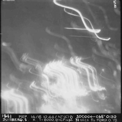
A vertical aerial photograph of Duisberg taken during a night operation. The lower half of the image is obscured by anti-aircraft fire. The top half has no clear detail. annotated '1941 MEP 14/15.10.44// NT (C) 8” 20000 [arrow] 065[degrees] 0130…
Duisburg
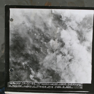
Target photograph showing smoke from bomb explosions and fires. Captioned '2686 DRF.14-10-44//8" 20000 >120.0908.Duisburg, R.7x1000.6x500.C.37 secs.F/S Jubb.R.462.".
This item was sent to the IBCC Digital Archive already in digital form. No better…
This item was sent to the IBCC Digital Archive already in digital form. No better…
Duisburg
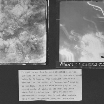
Two vertical aerial photographs of Duisberg. Two operations in 24 hours to the same location. The caption comments on the large number of ' "scarecrows" sent up by the Hun'.
Photo 1 is a daylight image with all the details obscured by explosions…
Photo 1 is a daylight image with all the details obscured by explosions…
Dunkirk docks
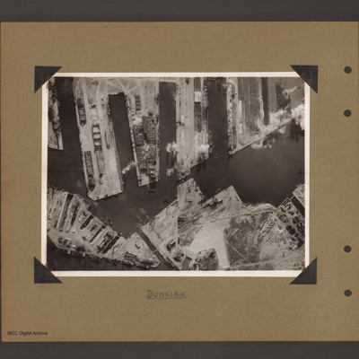
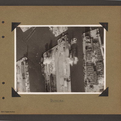
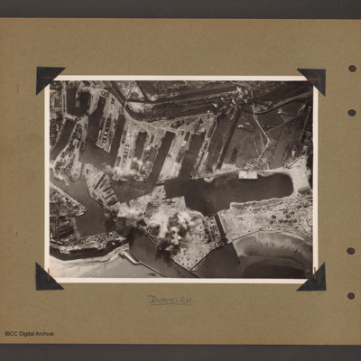
Aerial vertical photograph of docks. Along the top four moles below which an interconnected water way. Below is land with a narrow water passage slanting down towards the centre bottom. The moles and land have various scattered dockyard…
Dunkirk docks
Aerial vertical photograph of docks. Three moles extend from the bottom to just over half way up. The right hand mole is covered with dockyard installations, the other two are mostly bare. Bomb impacts are visible in the water between the right hand…
Dunkirk docks
Aerial vertical photograph of interconnected dock basins. At the bottom centre an inlet slanting left. To its left a canal. To its right a spit of land with a narrow waterway leading to a large basin. To the right of the waterway a beach with…
Dunkirk Docks
Target photograph of docks at Dunkirk. A body of water stretches from the left side to the top middle with a tidal flats at the left end. From the middle bottom up to the lower bank of the waters is Mole 6 with multiple railway sidings on the left…
Dunkirk, Den Helder, Vlissingen and Ventura over Ijmuiden
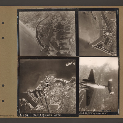
Top left an aerial vertical photograph of Dunkirk docks. A river runs from the sea bottom centre in a curve to top centre. Docks with moles and basins are to the right and the town is to the left of the river.
Top right an aerial vertical…
Top right an aerial vertical…
Duren
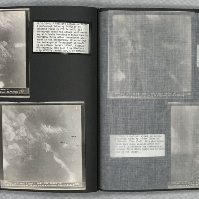
Photo 1 is a vertical aerial photo of Duren as the attack is underway. Two Lancasters can be seen on the right of the image. Photo 2 is a vertical aerial photo of the operation, one minute after the previous image. Two bombs are visible. Photo 3 is a…

