Browse Items (167 total)
- Tags: reconnaissance photograph
Sort by:
Sarnia oil refinery and St Clair River
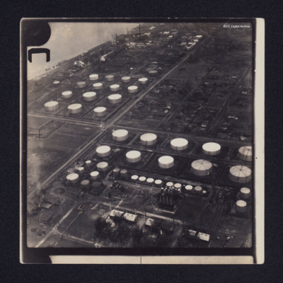
Two low angle oblique aerial photographs of Sarnia oil refinery on the St Clair River. Photograph 1 is mostly storage tanks; photograph 2 is of tanks and production facilities.
Identification kindly provided by Richard Evans of the Finding the…
Identification kindly provided by Richard Evans of the Finding the…
Saumur railway bridge
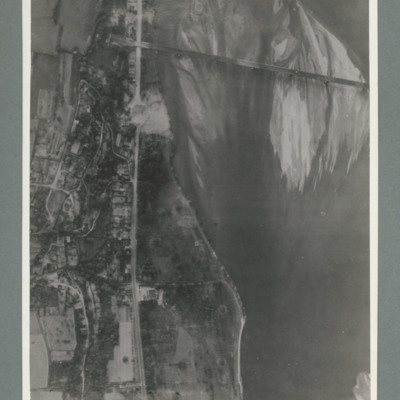
Reconnaissance photograph showing river running top to bottom on right and rail bridge running from right to left with entrance to tunnel top left. A road runs down the riverbank from top to bottom. Large crater visible on road just below bridge.…
Saumur railway bridge and tunnel
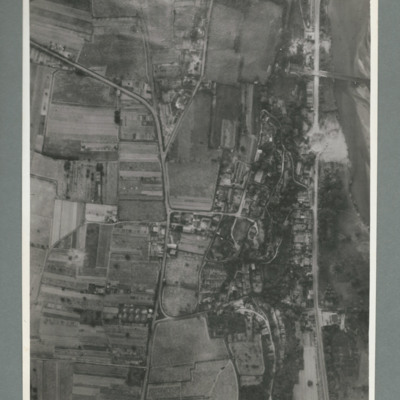
Reconnaissance photograph showing road running top to bottom on the right side. To the right a river. Top right a railway bridge with rail line running into a tunnel just left of road. To the left of the road a built up area. A crater is visible on…
Saumur railway tunnel
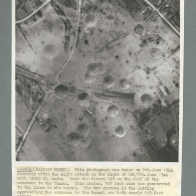
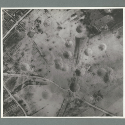
Reconnaissance photograph of Saumur tunnel entrance and surrounding area taken on 9 June 1944 after attach with 12,000 lb bombs. Description notes direct hit on roof of entrance to tunnel and two other 100 foot craters on the approach to tunnel. On…
Saumur railway tunnel
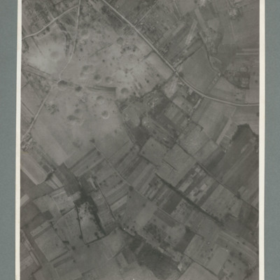
Reconnaissance photograph showing mostly open countryside. Bottom right shows entrance to railway tunnel with large crater and other craters to the right. On the reverse '15.6.44, WS, G79, 51:92/20'.
Saumur railway tunnel
Reconnaissance photograph showing entrance of railway tunnel with large crater just above. Two other craters on approach line with others to the left and right. On the reverse '8.7.44, W.S. G94, 51:92/20'.
Saumur railway tunnel
Reconnaissance photograph showing entrance of railway tunnel one quarter way down in centre with large crater to right of entrance. Other craters to the left of entrance. three roads join top slightly left and run to left and right sides. On the…
Saumur region
Reconnaissance photograph showing open countryside with road running top left to right and another from bottom left to right. On the reverse '15.6.44, WS G 80, 51:92/25'.
Scharnhorst and Gneisenau
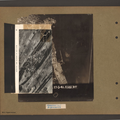
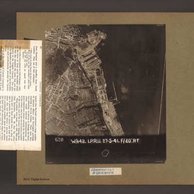
On top an aerial inclined photograph of a warship inside a dock with moles either side. Title 'Seeking the raider in his lair'. Underneath an aerial vertical photograph of a coastline lined with dock facilities and buildings running top to bottom. At…
Scharnhorst and Gneisenau
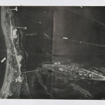
An aerial vertical photograph of a coastline lined with docks and buildings. At the top and inlet with docks and town buildings to its left. Below a peninsular are three docks pointing down and left. A large warship is moored in the bottom dock. Just…
Scharnhorst and Gneisenau
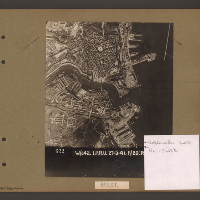
Aerial vertical photograph showing a coastal town with docks on the coast and a river running through the middle. On the right open water with a breakwater in the top right corner pointing down. Above the river on the four large jetties point into…
Siracourt
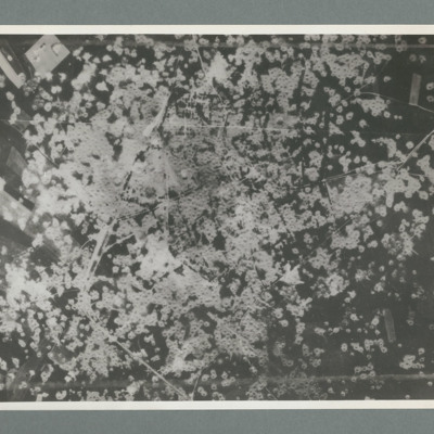
Reconnaissance photograph showing area completely covered by many craters. On thew reverse 'Date 11.7.44, Unit WS, Neg No. G109'
Skomer Islands
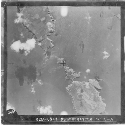
A vertical aerial photograph of a group of islands including Skomer, West Wales. It is annotated '3PP Recco.519 P/O Leadbetter 9.9.44'.
Sorties Flown by James Foulsham in 57 Squadron
Research from 57 Squadron Operation Record Book.
St Leu D'Esserent
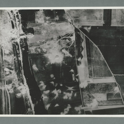
Reconnaissance photograph showing a wooded area running top to bottom on the left with a road, railway to its left. On the right two roads run from the bottom joining top centre. There are a large number of craters to the left of the river and top…
St Leu D'Esserent
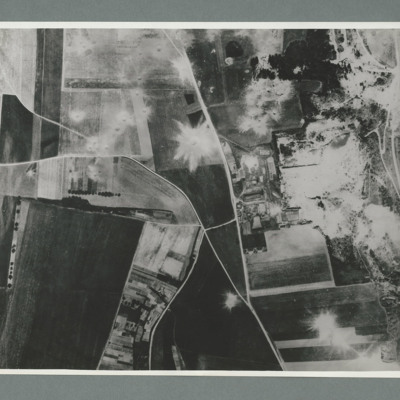
Reconnaissance photograph showing open countryside with fields. Road railway runs top right to bottom right. Road runs from bottom centre/right and splits, one going top top centre and the other to top left. There are a large number of craters on…
St Leu d'Esserent
Six aerial photographs of St Leu d'Esseent.
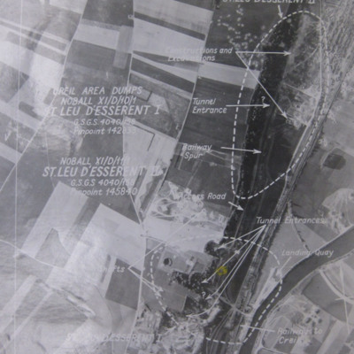
Photo 1 is a vertical target photograph with tunnels, railway and landing quay marked.
Photo 2 is a vertical aerial photograph taken during the operation. It is captioned '1962 TLP 5-8-44//8" 15000…
Photo 1 is a vertical target photograph with tunnels, railway and landing quay marked.
Photo 2 is a vertical aerial photograph taken during the operation. It is captioned '1962 TLP 5-8-44//8" 15000…
St Leu d'Esserent
Four photographs of St. Leau d'Esserent.
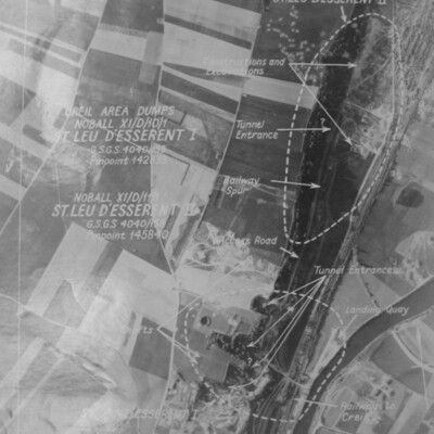
Photo 1 is a target aerial photograph with areas to be bombed. Tunnel entrances, constructions, excavations, railway and a landing quay are marked.
Photo 2 is a vertical aerial photograph taken during the…
Photo 1 is a target aerial photograph with areas to be bombed. Tunnel entrances, constructions, excavations, railway and a landing quay are marked.
Photo 2 is a vertical aerial photograph taken during the…
St Leu d'Esserent
Three images of St Leu d'Esserent taken after the attack.
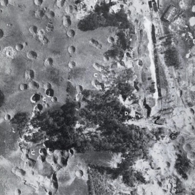
Photo 1 is a vertical image showing bomb craters. It is annotated with 'C' and 'D's.
Photo 2 shows an entrance to an underground store.
Photo 3 show an entrance to an underground store. It…
Photo 1 is a vertical image showing bomb craters. It is annotated with 'C' and 'D's.
Photo 2 shows an entrance to an underground store.
Photo 3 show an entrance to an underground store. It…
Stettin
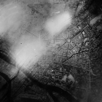
Reconnaissance photograph of Stettin. Urban area shown with the Centrum being clearly visible right of centre with roads radiating out. The West Oder river is to the middle left to bottom right of the photograph and parkland lower right above the…
Targets
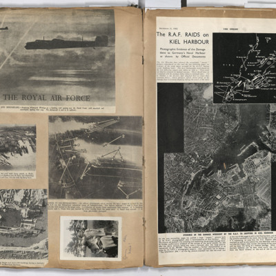
Left page: top, two flying Whitley aircraft passing over the Dutch coast.
Middle left, aerial view of Hamburg docks.
Middle right, bombing targets and fires in Gelsenkirchen.
Bottom left, bombing of Boulogne harbour.
Bottom right, a woman…
Middle left, aerial view of Hamburg docks.
Middle right, bombing targets and fires in Gelsenkirchen.
Bottom left, bombing of Boulogne harbour.
Bottom right, a woman…
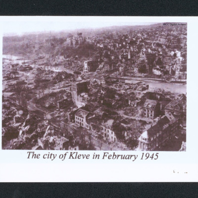
The city of Kleve in February 1945
Oblique aerial of a damaged city. In the centre is a river and a low hill. In the distance are undamaged buildings. Captioned 'The city of Kleve in February 1945'.
Tirpitz and armoured vehicles
Two reconnaissance photographs. The first is low level of the Tirpitz moored stern on to the land. Jetty connects stern to land. Several other jetties are present and various smaller boats are moored or moving. Booms are seen above Tirpitz. Several…
Tours airfield
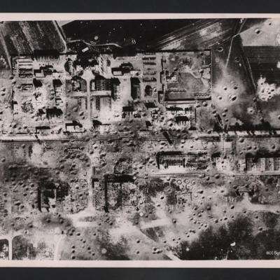
Vertical aerial photograph of an area showing severely destroyed buildings and large craters appearing throughout. A road is going through the middle of the buildings and the area is surrounded by fields, also covered with craters.
On the reverse…
On the reverse…
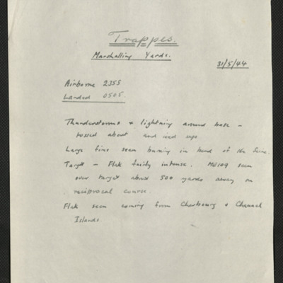
Trappes, Edward King's 14th operation of his tour
Six items, Edward's description of the operation to the railway centre, commenting on the thunderstorms encountered, his navigation plot, the expected H2S plot of the target with their track marked, a press cutting captioned 'Wrecked locomotives at…

![SKnoxRW[Ser#-DoB]v30008.jpg SKnoxRW[Ser#-DoB]v30008.jpg](https://ibccdigitalarchive.lincoln.ac.uk/omeka/files/square_thumbnails/1956/41386/SKnoxRW[Ser -DoB]v30008.jpg)
