St Leu D'Esserent
Title
St Leu D'Esserent
Creil area dumps
Description
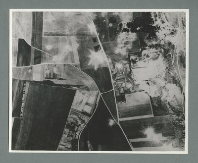
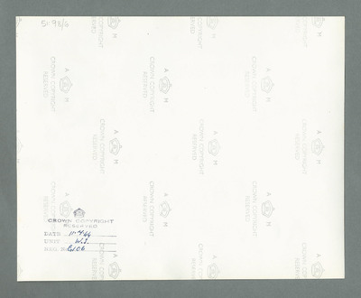
Reconnaissance photograph showing open countryside with fields. Road railway runs top right to bottom right. Road runs from bottom centre/right and splits, one going top top centre and the other to top left. There are a large number of craters on the right side and a few in open country at the top left quadrant. On the reverse '51:98/6, Date 11.7.44, Unit WS, Neg No G106'.
Date
1944-07-11
Temporal Coverage
Type
Format
One b/w photograph
Conforms To
Publisher
Rights
This content is property of the Leonard Cheshire Archive which has kindly granted the International Bomber Command Centre Digital Archive a royalty-free permission to publish it. Please note that it was digitised by a third-party which used technical specifications that may differ from those used by International Bomber Command Centre Digital Archive. It has been published here ‘as is’ and may contain inaccuracies or culturally inappropriate references that do not necessarily reflect the official policy or position of the University of Lincoln or the International Bomber Command Centre.
Identifier
MCheshireGL72021-181210-070033, MCheshireGL72021-181210-070034
Collection
Citation
“St Leu D'Esserent,” IBCC Digital Archive, accessed July 22, 2024, https://ibccdigitalarchive.lincoln.ac.uk/omeka/collections/document/16648.
Item Relations
This item has no relations.


