Browse Items (4441 total)

  • Tags: bombing

CWyldeHJ-220721-010001.jpg
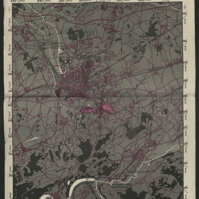
A target map used for the bombing of industrial parts of Dortmund.

Tags: ;

PBanksP15010029.jpg
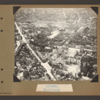
Aerial inclined photograph showing a snow covered city landscape with multistory buildings. A road leads from bottom centre towards the top left with another road joining it leading off towards the top right. In the foreground are a number of…

PBanksP15010030.jpg
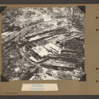
Aerial inclined photograph showing a factory complex surrounded at the top with multistory town buildings and to the left by gardens/allotments. In the centre a large factory complex with long buildings running diagonally right to left and above them…

PThomasAF20040039.jpg
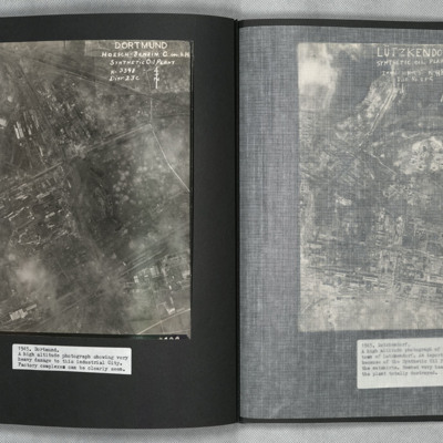
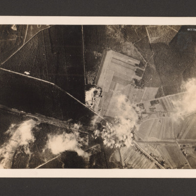
A vertical aerial photograph of Mainz Hoesch Benzin Synthetic Oil Plant, and Westfalenhutte steelworks located north-east of Dortmund city. The image shows cloud, craters, and extensive bomb damage amongst the predominately factory and other…

PFordTA17040001.jpg
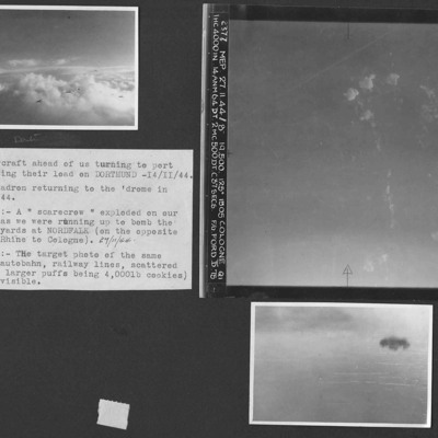
Three photographs from an album.
Photo 1 is three or four aircraft turning to port after bombing Dortmund. Aircraft shadows confuse the numbers involved.
Photo 2 is a vertical aerial photograph of the marshalling yards at Nordfalk, Cologne.
Photo…

SCattyMA164193v10019-0001.jpg
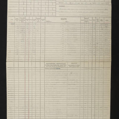
Navigational computation and a chart for an operation to Dortmund.

PJonesWC18020129.jpg
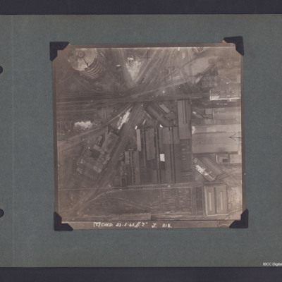
A vertical aerial photograph of Dortmund.
The photo is captioned '(T) Ched 23.5.45//7" J 218'.
On the reverse 'Crown Copyright Reserved' and 'Dortmund'.

SCattyMA164193v10005-0001.jpg
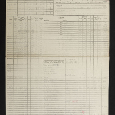
Navigational computation and a chart for an operation to Dortmund Synthetic Oil Plant

PWrightJ1528.jpg
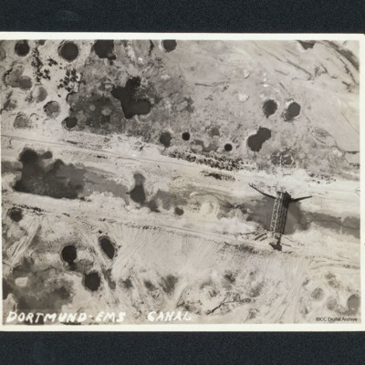
Vertical aerial of bombing damage on the Dortmund-Ems Canal. There are many craters and tracks of bulldozers undertaking repairs. A bridge shows little sign of damage. Captioned 'Dortmund-Ems Canal'.

PSandersDS16020013.jpg
Target photograph showing the Canal running from middle left to bottom right. A road runs from two thirds way up left side and crosses the canal in the bottom right quarter before running to bottom edge. There are minor roads and open country and…

PJolliffeFSW17100009.jpg
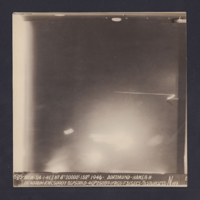
Target photograph for an operation to Dortmund - Hansa. An area of glare occupies the lower part of the image and there is another down the left side. The rest is in darkness and n ground detail is visible. The photograph is annotated '6' and…

SCattyMA164193v10027-0001.jpg
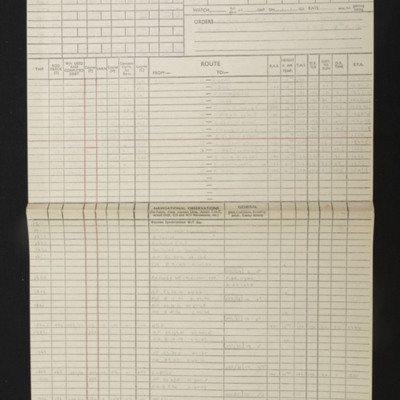
Navigational computations and a chart for an operation to Dortmund-Huckarde Coking Plant.

PToombsSE15100006.jpg
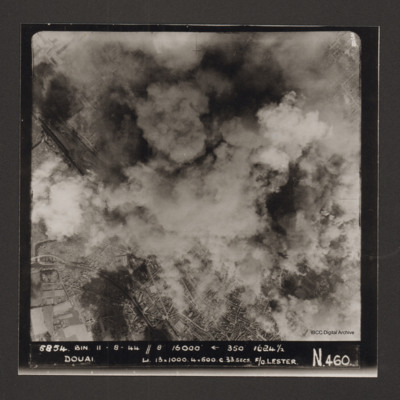
Vertical aerial photograph of Douai. In the lower half the centre of the town is visible but above that cloud and explosions obscure much of the rest. Captioned '5854 BIN 11-8-44 //8 16000' [arrow] 350° 1624 1/2 Douai Li…

LArrowsmithDR427789v1.pdf
Pilots flying log book for Douglas Ross Arrowsmith, covering the period from 15 January 1943 to 3 September 1945. Detailing his flying training, operations flown and instructor duties. He was stationed at 1 Elementary Flying Training School RAF RAAF…

BConlonMJConlonDVv1.pdf
A biography of Douglas and his service in the RAF. It includes events and a reunion with a former crew member.

SAdderM175073v10079.pdf
Letter and explanatory note. Draft incomplete letter of condolence about Arthur Moodie reported missing from operations. The rest of the crew did not fly with Arthur on the night he went missing.

SGillK1438901v20032-0003.jpg
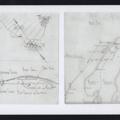
Left - at top of drawing a shoreline and Tromso, track direction, lower down the location of ship surrounded by 'x'. Bottom of drawing shows cross section of half of ship.
Right - hand drawn map showing route along Norwegian coast to Tromso and…

PRobinsonS18010008.jpg
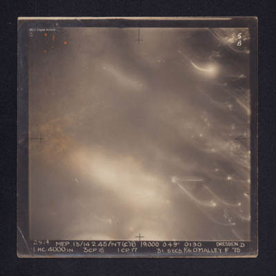
Target photograph of Dresden. No ground details are visible but the glare from fires on the ground are visible through the smoke. There are some bright spots and trails of light on the right. It is annotated "5B" and captioned: "2914. MEP.…

CWyldeHJ-220721-010005.jpg
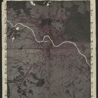
A map used for the bombing of Dresden.

Tags: ;

PGuyanS17020014.jpg
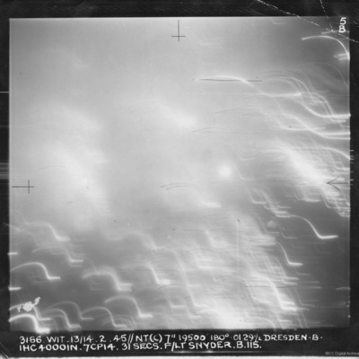
Target photograph showing multiple points of lights.
Captioned '3166. Wit.13/14.2.45//NT(C) 7" 19500' 180(Degrees) 01291/2 Dresden. B. 1HC40001N.7CP14.31Secs. F/Lt Snyder.B.115.

PEleyNJ1623.jpg
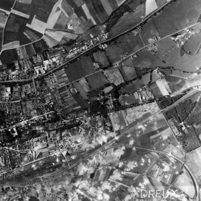
A vertical aerial photograph of Dreux, with rail facility in lower left quarter. Main line runs from rail facilities to top right, with secondary line veering off to the right and curving down to bottom right hand corner. Town is above the railway,…

PRobinsonS18010003.jpg
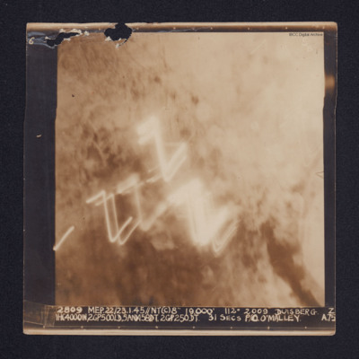
A target photograph of Duisburg. Cloud or smoke obscures the ground and there are several light trails in the centre of the photograph.
It is annotated "5B" and captioned: "2809 MEP. 22/23.1.45//NT(C)8" 19,000' 112º 2009 DUISBERG [sic]. Z…

PJolliffeFSW17100005.jpg
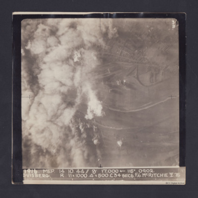
Target photograph taken on an operation to Duisberg. Left hand side is obscured by smoke or cloud and several bomb explosions can be seen. The Rhine river runs across the image, just below half height and there is built up area towards top of…

PFordTA17030009.jpg
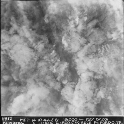
A vertical aerial photograph taken during the bombing of Duisberg. The entire image is obscured by explosions and smoke. Annotated '1912 MEP 14.10.44// 8” 18000 [arrow] 125[degrees] 0903 DUISBERG. X 11 x 1000. 4x500. C32 SECS. F/O FORD. O.75'.
Output Formats

atom, dc-rdf, dcmes-xml, json, omeka-xml, rss2