Browse Items (1442 total)
- Tags: aerial photograph
Sort by:
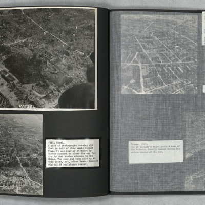
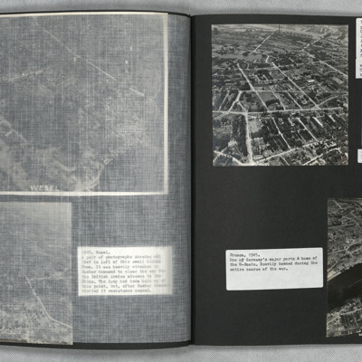
Wesel
Low level oblique aerial photographs of Wesel. Extensive bomb damage is visible in both images.
Tags: aerial photograph; bombing; Cook’s tour
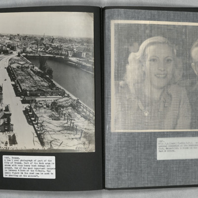
Hamburg and Bremen
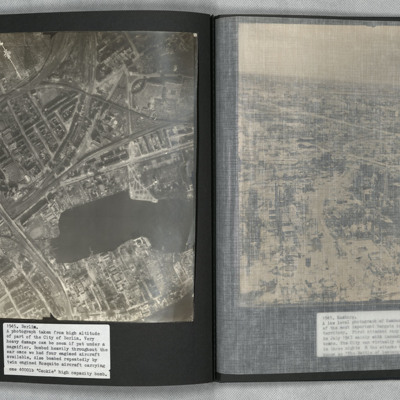
Photograph one is a low level oblique aerial view of Hamburg. The urban industrial and residential areas have considerable visible bomb and fire damage.
Photograph two is a Brownie Box camera view of Hamburg.
Photograph three is a low level oblique…
Photograph two is a Brownie Box camera view of Hamburg.
Photograph three is a low level oblique…
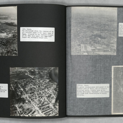
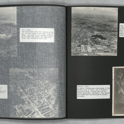
Kamen and Hanover
Two low level oblique aerial photographs.
Photograph one shows the remains of an oil refinery at Kamen. Bomb damage is visible throughout.
Photograph two was taken during a Cook's tour. It shows the urban, manufacturing centre of Hanover with…
Photograph one shows the remains of an oil refinery at Kamen. Bomb damage is visible throughout.
Photograph two was taken during a Cook's tour. It shows the urban, manufacturing centre of Hanover with…
Tags: aerial photograph; bombing; Cook’s tour
Hamm and Brest
Photograph one is an oblique aerial photograph of Hamm, showing extensive damage and bomb craters throughout.
Photograph two is a vertical aerial photograph of Brest naval base and ports, with numbered annotation.
Photograph two is a vertical aerial photograph of Brest naval base and ports, with numbered annotation.
Mainz
A vertical aerial photograph of Mainz. The
top right of the image shows the Rhine. The
bridge is Theodor-Heuss Brucke. The large
L shaped building to its left is Kurfurstliches
Schloss with various large government
buildings below it. The wide…
top right of the image shows the Rhine. The
bridge is Theodor-Heuss Brucke. The large
L shaped building to its left is Kurfurstliches
Schloss with various large government
buildings below it. The wide…
Dortmund
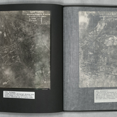
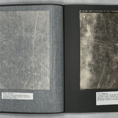
A vertical aerial photograph of Mainz Hoesch Benzin Synthetic Oil Plant, and Westfalenhutte steelworks located north-east of Dortmund city. The image shows cloud, craters, and extensive bomb damage amongst the predominately factory and other…
Lutzkendorf
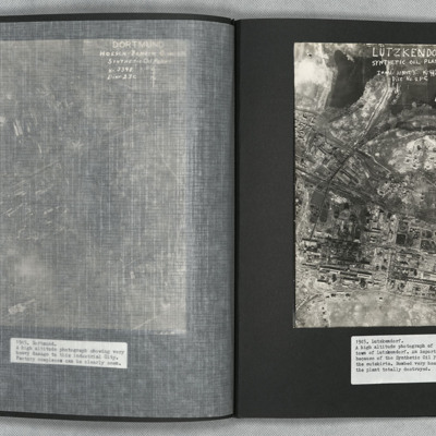
A vertical aerial photograph of the synthetic oil plant at Lutzkendorf, near Leipzig. The Geiseltalsee is the body of water at the top of the image. A railway line with sidings runs through the image from left to right. Possibly more sidings to top…
Coblenz
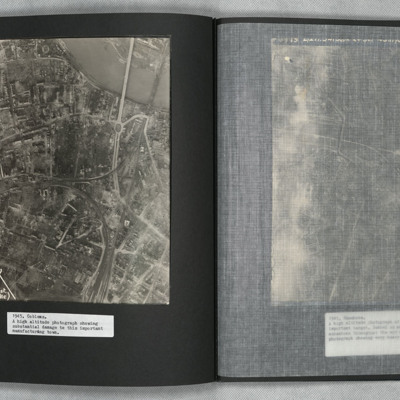
A vertical aerial photograph of Koblenz in early 1945 showing widespread damage to buildings with large areas completely destroyed. Bomb craters can be seen in several places. A railway marshalling yard is to centre left and the railway lines then…
Mannheim
A vertical aerial photograph of Mannheim. The left of the image is shrouded by clouds. The main river running left to right is the Neckar. The spur below it being the Bonadieshafen and the one above it the Verbindungskanal. The road bridge crossing…
Berlin
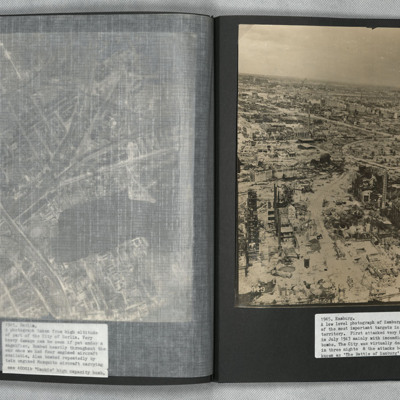
A vertical aerial photograph of Berlin showing heavy bomb damage. The body of water is the Rummelsburger See, with the railway station of Ostkreuz to the left of it at the confluence of railway tracks running from lower left to top right and from…
Hamburg
A low level aerial oblique photograph of Hamburg showing extensive bomb damage.
Tags: aerial photograph; bombing
Frankfurt
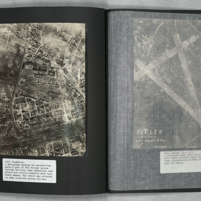
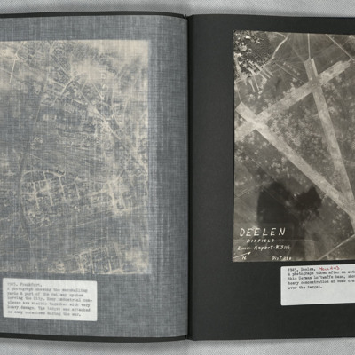
A vertical aerial photograph of Frankfurt showing extensive damage. Frankfurt Haupt-Bahnhof is shown lower right, with the main lines running across to lower left corner. In the centre of the photograph is a large industrial plant with extensive…
Deelen
A vertical aerial photograph showing the airfield, south-west of Deelen, Arnhem. Three runways in the “A” configuration are seen, with the two main runways forming the top of the “A” at lower right. Hangars and other airfield buildings are to…
Cologne
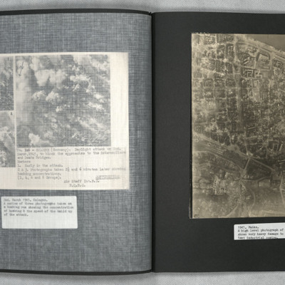
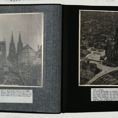
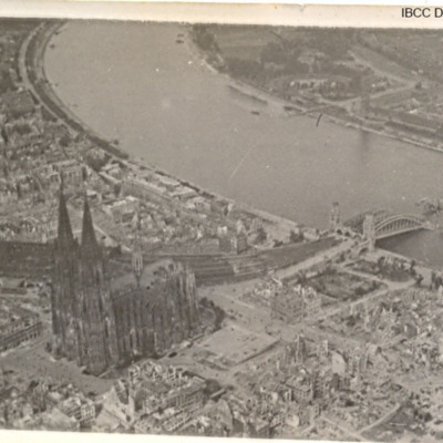
A low level oblique image centred on the cathedral, showing damage to every building in its vicinity.
Tags: aerial photograph; bombing
Dusseldorf
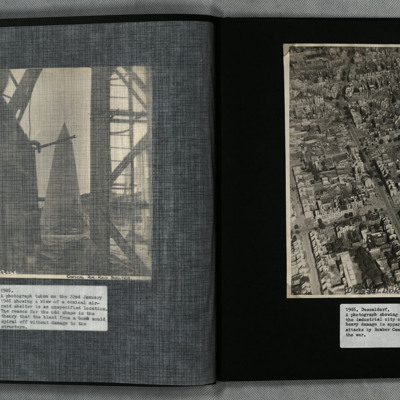
A low angle oblique aerial photograph of Dusseldorf showing heavy bomb damage to urban residential and industrial areas.
Tags: aerial photograph; bombing
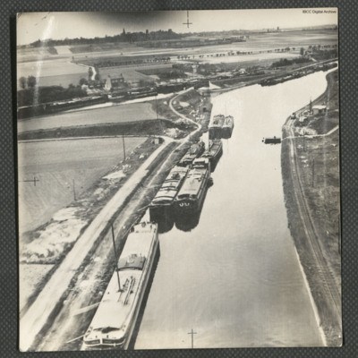
Canal d'Aire near Béthune
Three low level aerial oblique photographs of the Canal d'Aire.
Photo 1 is barges on the canal, close to a junction, on the reverse is typed 'Continuation of bombing-run. France 1945'.
Photo 2 is a bridge over a canal junction, on the reverse is…
Photo 1 is barges on the canal, close to a junction, on the reverse is typed 'Continuation of bombing-run. France 1945'.
Photo 2 is a bridge over a canal junction, on the reverse is…
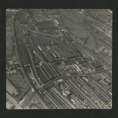
Industrial complex to the south of Lincoln
An oblique aerial photograph of a large industrial complex to the south of the city of Lincoln. The industrial area to the top of the photograph became known as New Boultham, whereas the buildings in the centre, a mix of industrial and residential,…
Tags: aerial photograph
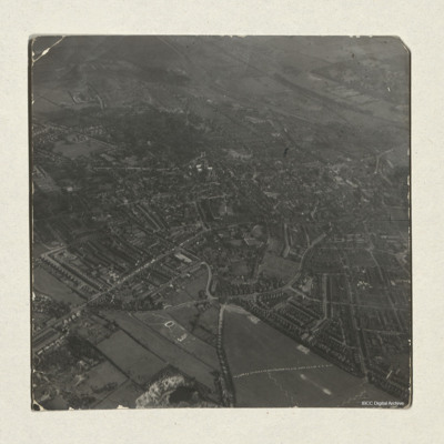
Lincoln Cathedral and the city
An aerial oblique view of Lincoln Cathedral and the city. St.Giles school and the residential areas surrounding it can be seen to the left of the photograph. Lincoln Cathedral and Castle are visible in the direct centre, with Lincoln Crown Court…
Tags: aerial photograph
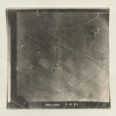
Goole
A sequence of three vertical aerial photographs of a dockyard area. The docks are at the edge of a River Ouse and running into this is the Dutch river. The images are captioned 'Millard 7.10.93' and '1, 2 and 3'. Millard is the bomb aimer.
Tags: aerial photograph
Moncton Airfield
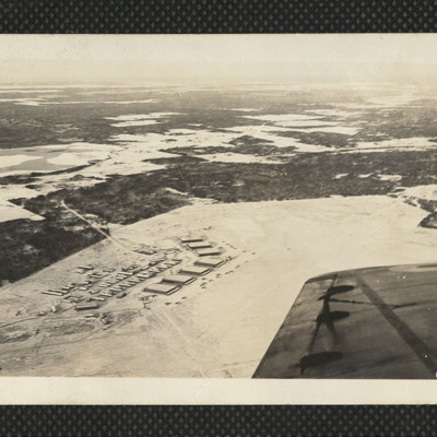
An oblique aerial photograph of Moncton airfield in the snow. Seven hangars and many aircraft are visible. On the reverse 'We see Moncton 'Drome from the air. A marvellous sight. Dec 42'.
Tags: aerial photograph; hangar; RCAF Moncton; training
Scoudouc Airfield
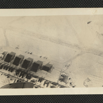
An oblique image of Scoudouc airfield. Taken in low sun the hangars cast long shadows. About six aircraft are outside. On the reverse 'Ross my Instructor does a half roll & we get Scoudouc slap bang in the lens. That's Shooting Feb 42'.
Tags: aerial photograph; hangar; training
Aerial view of Nova Scotia countryside
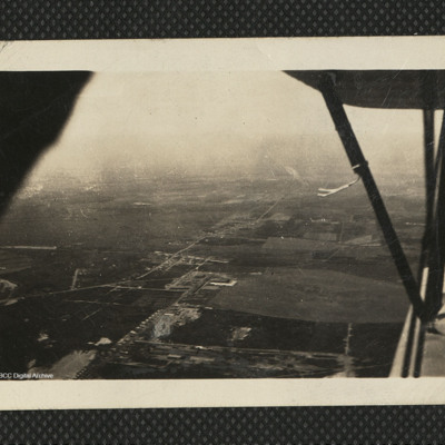
An aerial view of Canadian countryside from a biplane. The wings can be seen on the right side of the image. On the reverse 'The Fleet takes me over Canada's vast countryside. Stanley EFTS July 42'.
Tags: aerial photograph; aircrew; training
RCAF Rivers
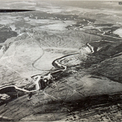
Six photographs of RCAF Rivers, No 1 Air Navigation School. First, third, fourth and fifth are from the air. The second is of a Harvard alongside a hangar and the sixth is of a row of Cornell aircraft and an Anson in the background.
Tags: aerial photograph; Anson; Cornell; Harvard; RCAF Rivers; runway; training
Cologne bomb damage
Three photographs of Cologne Cathedral and damaged bridge over the Rhine.
Tags: aerial photograph; bombing; Cook’s tour

