Browse Items (4441 total)

  • Tags: bombing

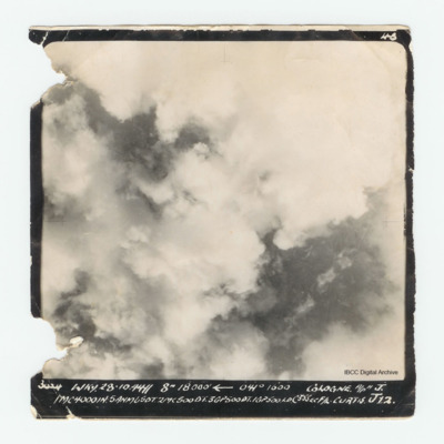
PLoudonAE16010004.jpg
Target photograph of Cologne mostly obscured by clouds and smoke. No detail can be seen on the ground. Captioned '3024 WKY 28.10.44 // 8" 18000' [arrow] 041° 1600 Cologne A/P H J. 1MC4000IN:5ANM6507.2MC500DT.3GP500DT.1GP500.LD.C35sec F/L. Curtis…

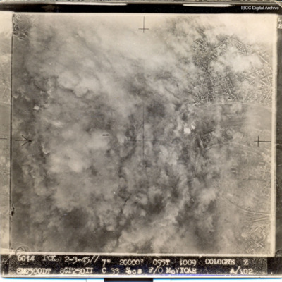
PWalkerS17010011.jpg
Most of target obscured by smoke and dust. Captioned '6014 PCK 2-3-45// 7" 20000' 095t 1009 COLOGNE Z 8MC500DT 8GP250IT C 33 Secs F/O McVICAR A/102

PBanksP15010021.jpg
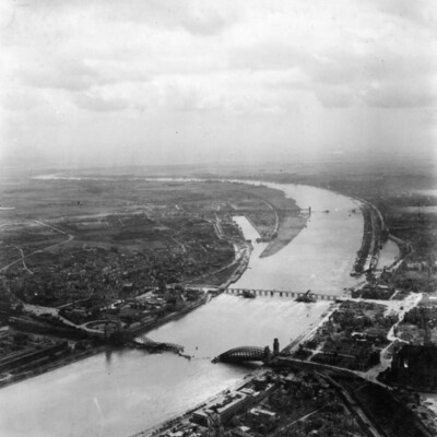
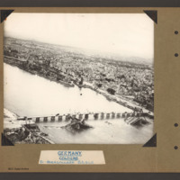
Aerial inclined photograph of the city of Cologne looking north. The river Rhine goes from left to right with one large meander. Three bridges cross the river as to turns back to the right. The furthest bridge is destroyed with the right hand two…

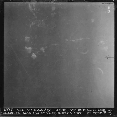
PFordTA17030015.jpg
A vertical aerial photograph of Cologne during a daytime operation. Very little detail of the ground is visible. There are some bomb explosions. Annotated '2377 MEP 27.11.44//8” 19,500. 125[degrees] 1505 COLOGNE QI IHC 4000 IN…

OThompsonKG12308603-150907-010099.jpg
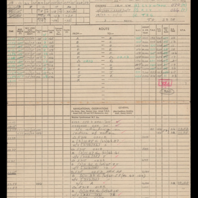
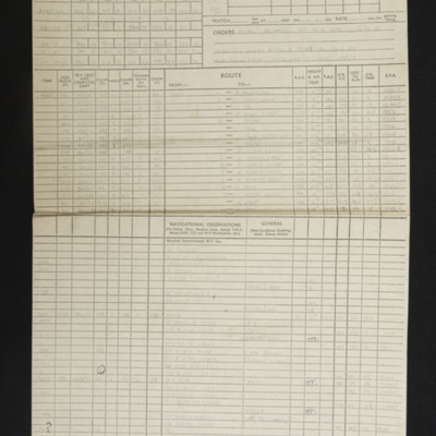
Navigation calculations and a chart for operation to Cologne.

PBanksP15010044.jpg
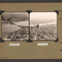
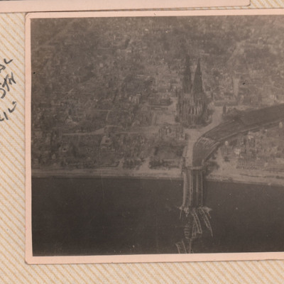
On the left an aerial inclined photograph showing a wide river flowing right to left through the centre of a city of Cologne, In the centre the Hohenzollern railway bridge with the centre spans collapsed into the river. On the far side the railway…

PWyldeHJ22010017.jpg
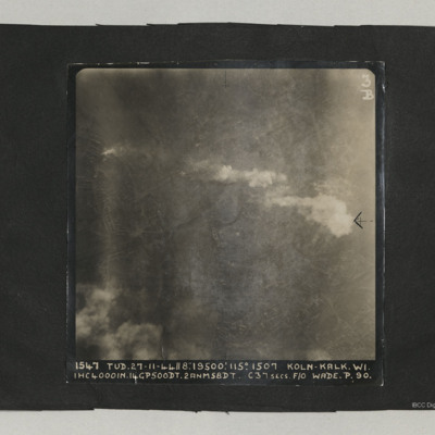
A target photograph taken on an operation at Cologne-Kalk. Bombs can be seen falling in lower right quadrant. Smoke is being emitted from near river bank top left. The River Rhine forms a curve from centre bottom to top left corner. Two bridges are…

PThomasAF20040037.jpg
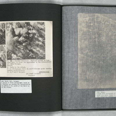
A confidential document. Three aerial photographs showing the development of a daylight bombing attack on Cologne. All images are taken at timed intervals during the attack, at the start, then after 2.5 and 6 minutes. The location is adjacent to the…

SCattyMA164193v10016-0001.jpg
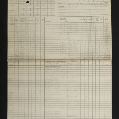
Navigational computations and a chart for an operation to the Cologne-Gremberg marshalling yards. On the reverse of the chart is a handwritten note [indecipherable].

PWrightJ1535.jpg
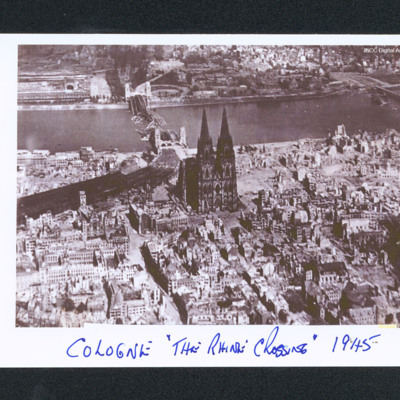
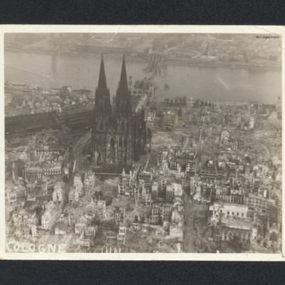
Aerial oblique of Cologne with the cathedral in the centre. Behind is the Rhine and a destroyed bridge. Many of the buildings are damaged. Captioned 'Cologne "The Rhine Crossing" 1945'.

PCavalierRG17010014.jpg
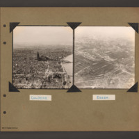
Photograph 1 is a low level oblique photograph of the cathedral.
Photograph 2 is a low level oblique photograph of a church, a bridge and the river Rhine.
Photograph 3 and 5 are low level oblique photographs of the main railway station.
Photograph…

PThompsonKG15010088.jpg
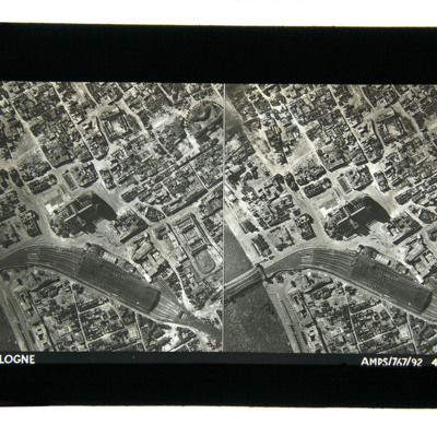
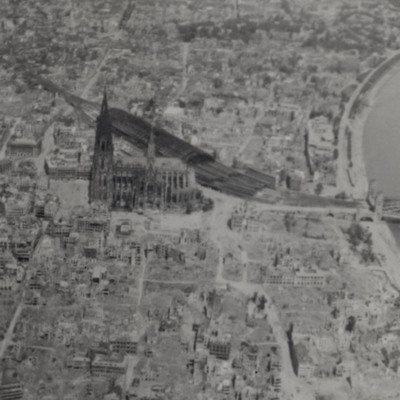
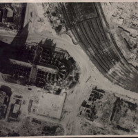
Aerial photographs taken from directly above showing damaged buildings, the railway station, rail bridge over the Rhine and the cathedral. Captioned 'Cologne, AMPS/767/92 4-7-43'.

PNorthWA23010028.jpg
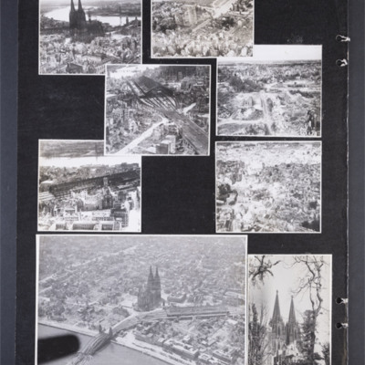
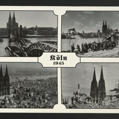
Four photographs on a card captioned 'Koln 1945'. Two are of the main bridges, road and rail, destroyed by the bombing and two views of the devastation around the cathedral.
On the reverse 'Morning after! Cologne Photographed by navigator W. Alan…

PBanksP15010043.jpg
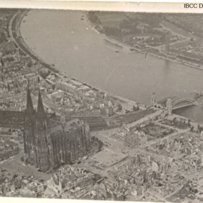
On the left an aerial inclined photograph looking north showing a city with a river on the right. In the centre Cologne Cathedral with the railway station just beyond. In the foreground several damaged multistory buildings and areas of rubble. In the…

PWalkerS17010008.jpg
Three photographs of Cologne Cathedral and damaged bridge over the Rhine.

PEleyNJ1617.jpg
An oblique aerial photograph of Cologne, showing destroyed bridges, submitted with caption; “Damage to bridges over the Rhine.”

PLambAM17010006.jpg
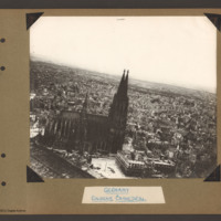
An oblique aerial photograph of Cologne Cathedral showing bomb damage and the destroyed railway bridge. It is captioned 'Cologne Cathedral, Railway Stn & Bridge'.

PArthurEG1623.jpg
Shows bomb damage of area around the cathedral, railway station and bridge over the Rhine. The photograph taken from a 627 Squadron Mosquito.

Additional information about this item has been kindly provided by the donor.

PEleyNJ1606.jpg
Black and white aerial photograph of Cologne showing cathedral and damage to surrounding areas as result of Allied bombing campaign, submitted with caption; “207 Sqdn given permission to take ground staff for low level flights over Germany to see…

PBanksP15010019.jpg
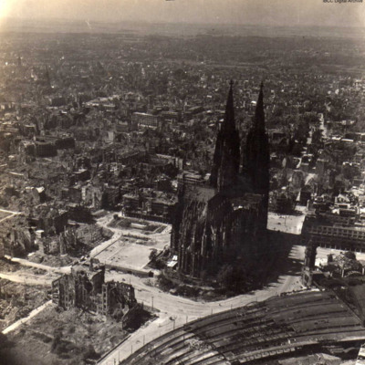
Aerial inclined photograph of Cologne Cathedral looking south. At the bottom left is part of the roof of the railway station. In the foreground a small open area with a tram in the centre. The cathedral is surrounded on all sides by multistory…

PWrightJ1525.jpg
Aerial oblique photograph of Cologne cathedral showing destroyed buildings and river bridge. Captioned 'Cologne'.

PBaggJG1613-1.jpg
Low altitude aerial reconnaissance photograph showing damage to and around Cologne cathedral: the railway station is partially visible on the right with extensive damage to canopy and some track damage. Rubble has been cleared, several tramcars can…

SWilliamsonF1311249v10003-0003.jpg
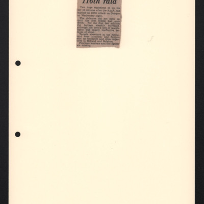
A cutting referring to an attack on Cologne. It is annotated 'No 2 16-6-43'.

SCattyMA164193v10023-0001.jpg
Navigational computation and a chart for an operation to Gremberg Marshalling Yards, Cologne.

PBanksP15010020.jpg
Oblique aerial photograph of the Hohenzollern bridge over the Rhine at Cologne. The river Rhine runs from left diagonally to the right, On the far bank a narrow parallel canal, the Rheinauhafen, beyond which is a city landscape of multistory…
Output Formats

atom, dc-rdf, dcmes-xml, json, omeka-xml, rss2