Browse Items (4469 total)

  • Tags: bombing

PHarveyW1807.jpg
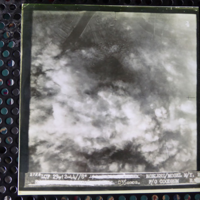
A vertical aerial photograph of an attack on Koblenz. Most of the image is obscured by cloud and bomb explosions. In the top left corner is a wide river. It is captioned '2728 LCF 29-12-44// 8" [deleted] Koblenz/Mosel M/Y R [deleted] C35 secs F/O…

PFordTA17030013.jpg
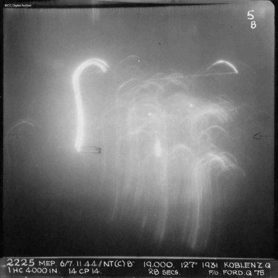
A vertical aerial photograph of Koblenz during a night operation. The centre of the image is obscured by anti-aircraft fire. No detail is visible on the ground. Annotated '2225 MEP 6/7.11.44/NT(C)8” 19,000. 127[degrees] 1931 KOBLENZ Z.Q IHC 4000 IN…

SCattyMA164193v10003-0001.jpg
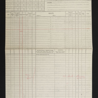
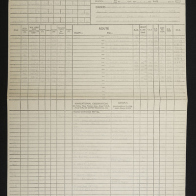
Navigational computation and a chart for an operation to Koblenz

PThomasAF20040025.jpg
Photo 1 is a vertical aerial photograph of Koblenz. The river can be seen and falling sticks of incendiaries.
Photo 2 is a vertical aerial photograph of Homberg. The image is very clear with only a few explosions hiding the detail.

PFordTA17040010.jpg
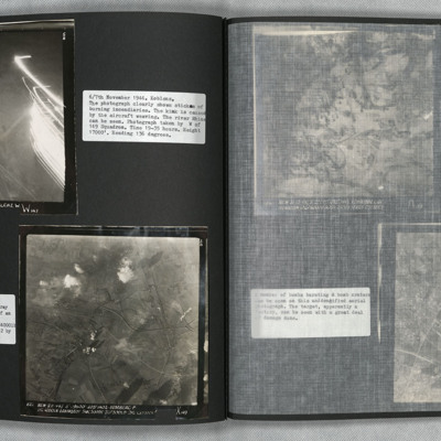
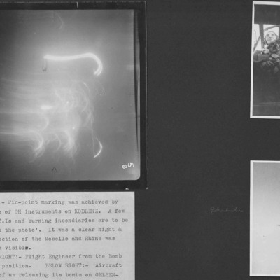
Three photographs from an album.
Photo 1 is a target photograph of a night attack on Koblenz. All detail is obscured by target indicators and incendiaries.
Photo 2 is Terry's flight engineer seen from the bomb aimer's position.
Photo 3 is a…

CWyldeHJ-220721-010002.jpg
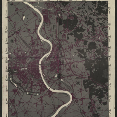
A map to be used on the bombing of Cologne.

Tags: ;

CWyldeHJ-220721-010004.jpg
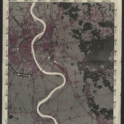
A map used on the bombing of Cologne.

Tags: ;

PRobinsonS18010006.jpg
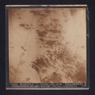
A target photograph of snow covered Koln-Gremberg. In the upper, right quadrant are some marshalling yards and the River Rhine, partially obscured by cloud. In the upper and lower left quadrants is a main railway line. At upper centre is an area of…

PHouriganM18030171.jpg
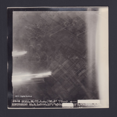
Target photograph of Konigsberg. Partially obscured by light streaks, Urban area no clear details. Caption '2408 SKELL.26/27.8.44//NT.8" 7500' [arrow] [track and time censored] KONIGSBERG RD.H.1X2000.12"J"X500.[exposure censored] F/O HORSPOOL .H.50'.…

PHouriganM18030173.jpg
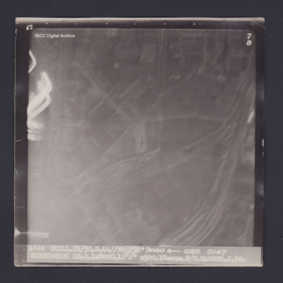
Target photograph of Konigsberg. Partially obscured by light streaks and haze. No detail visible. Captioned '8°F', '7B', '2428 SKELL 29/30.8.44//NT 8" 9000 [arrow] 020 0147 KONIGSBERG RD.J.1X2000.12"J" X500.18secs.F/O HARROP.J.50.'. On the reverse…

PHouriganM18010059.jpg
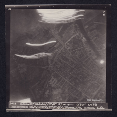
Target photograph of Koningsberg. River or canal top right, some light streaks, urban area, street patterns and features visible. Captioned '8[degrees ]F', '7B', '2426 SKELL.29/30.8.44//NT8" 8700 [arrow] 030° 0133 KONIGSBERG…

PHouriganM18030127.jpg
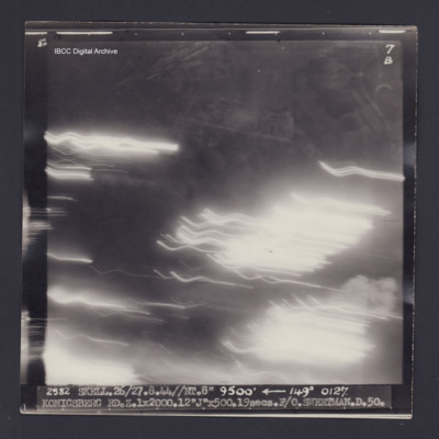
Target photograph of Königsberg. Numerous light streaks, no detail visible. Captioned '8°F', '7B', '2582 SKELL.26/27.8.44//NT.8" 9500' [arrow] 149° 0127. KONIGSBERG RD.Z.1X2000.12"J"X500.19secs.F/O.SWEETMAN.D.50.' On the reverse '[underlined] F/O…

PNealeETH1527.jpg
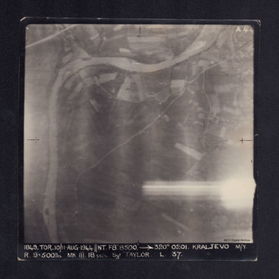
A vertical aerial photograph of Kraljevo taken during bombing operations at the marshalling yards . The right side is partly obscured by anti-aircraft fire but main roads and the river are clearly visible. It is captioned '1849. TOR. 10/11 AUG…

PBirdJH18010021.jpg
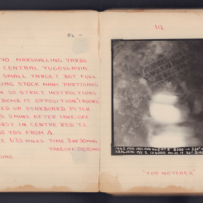
Target photograph for an operation to Kraljevo. Apart from some light and smoke in the central lower part, much of the ground detail is clear. At top centre is the circular 'Square of Serbian Warriors', with a residential area below. The Ibar river…

PRobinsonS18010019.jpg
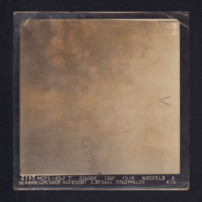
Target photograph of Krefeld. Cloud, smoke and glare obscures all ground detail.
It is annotated: "3B" and captioned: "2735 MEP. 11.1.45//7" 20,000' 130º 1514 KREFELD A 1HC4000IN, 12MC500DT, 4GP250DT. C.37SECS F/S O'MALLEY K.75.".

Also a…

PCarpenterRB2001.jpg
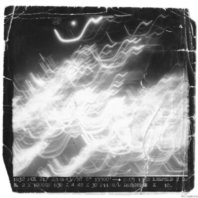
Aerial photograph is a mass of light streaks, nothing else visible. Photograph captioned '1632 FCX 21/22.6.43/NT 8" 19500' 0205 135M KREFELD RDB 2X1000GP 630X4 48X30 P11 S/L DEBENHAM X 10.

SCattyMA164193v10024-0001.jpg
Navigational Computation and a chart for an operation to Krefeld.

PLambAM17010005.jpg
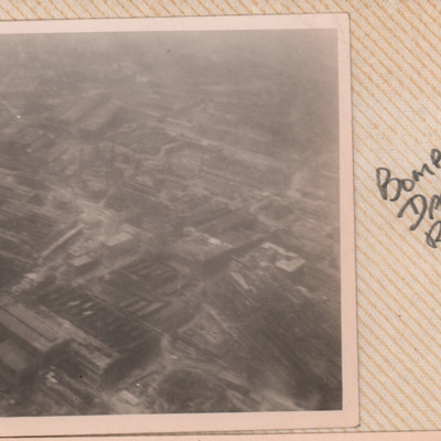
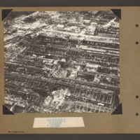
An oblique aerial photograph of Krupps, Essen showing damage and captioned 'Bomb Damage Ruhr'.

PMcDermottC16020071.jpg
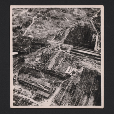
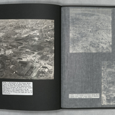
Heavily bombed Krupp works

PBanksP15010032.jpg
Aerial inclined photograph showing a large industrial area with destroyed roofs. Five long industrial buildings orientated diagonally from left down to right with roofs totally destroyed. In the centre at the is a large crater surrounded by buckled…

PThomasAF20040031.jpg
Low level oblique aerial photograph of the Krupps Works, Essen. Most buildings show signs of damage.

PFOMetheringhamAF19050010.jpg
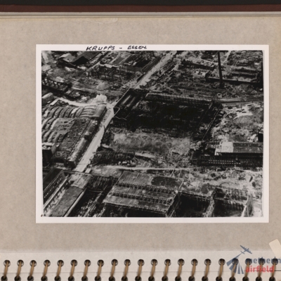
Oblique aerial photograph of an industrial site with most buildings destroyed and many without roofs. Road runs through from bottom left corner to top centre. Tall chimney top right and building with several small chimneys top left. Captioned 'Krupps…

PWrightJ1536.jpg
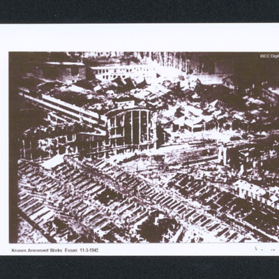
Oblique aerial of bomb damage to the Krupps workshops. Captioned 'Krupps Armament Works Essen 11-3-1945'.

PWrightJ1537.jpg
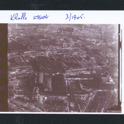
Oblique aerial photograph of bomb damage of the works. Captioned 'Krupps Essen. 3/1945'.

SWeirG19660703v070001.pdf
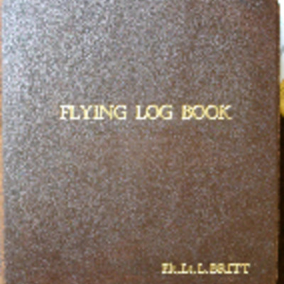
Flying log book for L Britt covering the period from 27 May 1943 to 11 February 1953. Detailing his flying training and operations flown. He was stationed at RAAF Benalla (11 EFTS), RAAF Deniliquin (7 SFTS), RAF Babdown Farm (15 P AFU), RAF Moreton…
Output Formats

atom, dc-rdf, dcmes-xml, json, omeka-xml, rss2