Browse Items (74 total)
- Conforms To is exactly "Pending geolocation"
Sort by:
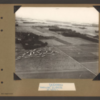
Hamilcar gliders near Wesel
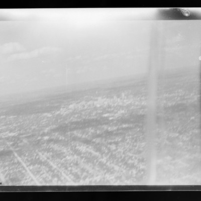
Aerial inclined photograph showing open countryside with fields, woods and occasional buildings. In the bottom left is a field containing a large number of gliders gathered and parked close together in a corner at the far end. There are a number of…
Tags: aerial photograph; Cook’s tour; Hamilcar
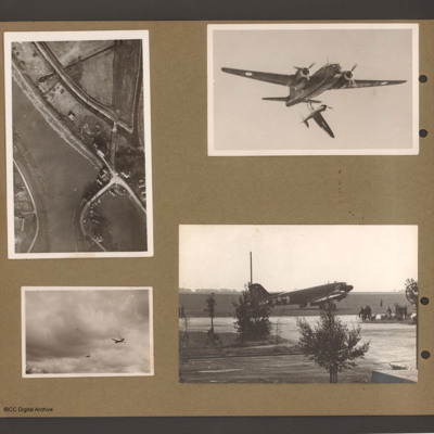
Canal, Wellington and Spitfire, C-47 and glider
Top left an aerial vertical photograph of waterway junction with bridge. Canal or river runs from top left down towards bottom right. Splits into two branches towards the bottom. Right branch has road bridge crossing to the land between the two…
Tags: C-47; Horsa; Spitfire; taxiway; Wellington
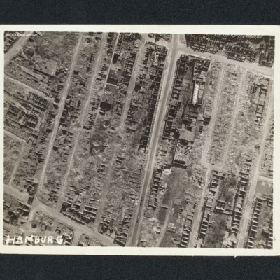
Hamburg
Vertical aerial photograph of Hamburg. Most of the buildings are destroyed with only shells remaining. Captioned 'Hamburg'.
Tags: aerial photograph; bombing
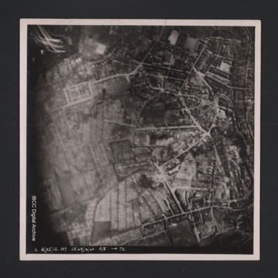
Kiel
Vertical aerial photograph of an urban area at the top and right hand side. Street patterns and parks are clearly visible. At the bottom it is captioned ‘1. R(X5) 12 NT 28/29/4/42 F/8” [arrow] TX’.
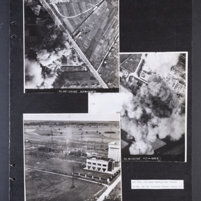
Low level bombing over Orleans
Photograph 1 is a vertical aerial photograph of a transformer and switching station at Orleans. Most of it is obscured by bomb explosions and smoke. A wide road runs diagonally across the image. Captioned 'R1.342F 3 OCT 43//…
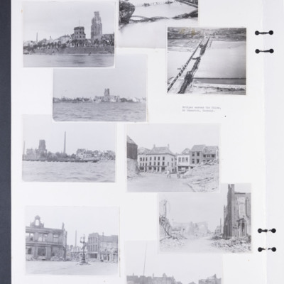
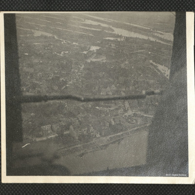
Bomb damage to Emmerich, Cologne and Weser
Photographs 1, 3 and 5 show damage to buildings on the riverside.
Photograph 2 is a low level oblique photograph of Cologne, with bomb damaged Hohenzollern Bridge.
Photograph 4 is a low level oblique photograph of Wesel with bomb damaged…
Photograph 2 is a low level oblique photograph of Cologne, with bomb damaged Hohenzollern Bridge.
Photograph 4 is a low level oblique photograph of Wesel with bomb damaged…
Tags: aerial photograph; bombing; Cook’s tour
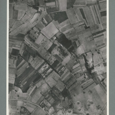
Saumur railway tunnel
Reconnaissance photograph showing mostly open countryside. Bottom right shows entrance to railway tunnel with large crater and other craters to the right. On the reverse '15.6.44, WS, G79, 51:92/20'.
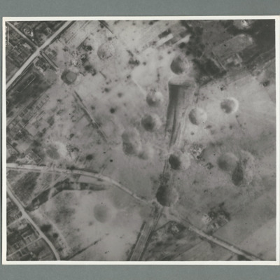
Saumur railway tunnel
Reconnaissance photograph showing entrance of railway tunnel with large crater just above. Two other craters on approach line with others to the left and right. On the reverse '8.7.44, W.S. G94, 51:92/20'.
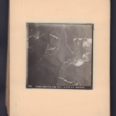
Sjenica
Two prints of the same target photograph showing open countryside. Road runs top middle to bottom right. Captioned '2172, 104/29, 20 Nov 44, F8, 8100 ft, →15.23, S.D. Sjenica'.
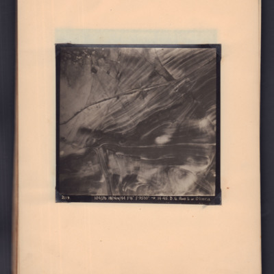
Road south of Stenica
Target photograph showing road running left middle to top right through open countryside. Captioned '2119, 104/26, 18/Nov/44, F8, 9500 ft, →14.45, D.S. Road S. of Stenica'.
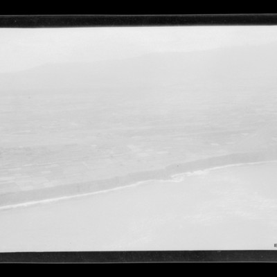
Coastline
Air to ground view of coastal low cliffs run bottom left to right with open countryside beyond.
Tags: aerial photograph
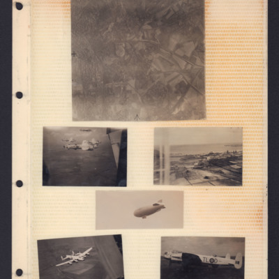
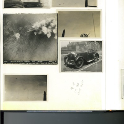
Places, Good Will tour Lancasters and airship
Top - reconnaissance photograph of town on left with roads and open countryside on right.
Middle left - Air-to-air view of formation of four Lancasters in light paint scheme over open countryside. The tail plane of aircraft from which photo…
Middle left - Air-to-air view of formation of four Lancasters in light paint scheme over open countryside. The tail plane of aircraft from which photo…
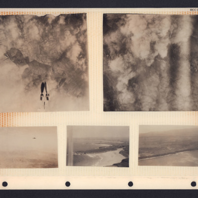
Bombs, hills and coastline
A collection of photographs in an album. From top left to bottom right:
1. Target photograph showing three bombs falling towards cloud and fields. There is no caption to identify the target.
2. Target photograph. The ground is mostly obscured by…
1. Target photograph showing three bombs falling towards cloud and fields. There is no caption to identify the target.
2. Target photograph. The ground is mostly obscured by…
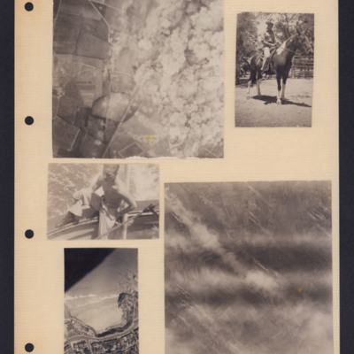
Bombing and people
Five photographs from an album page. From top left to bottom right:
1. A target photograph showing open countryside. On the left is a line of bomb craters in fields. Roads are also visible here as is a railway line. On the right, the ground is…
1. A target photograph showing open countryside. On the left is a line of bomb craters in fields. Roads are also visible here as is a railway line. On the right, the ground is…
Tags: aerial photograph; animal; bombing; target photograph
Page 10 of D C Bradbury Scrapbook
Photo 1 - view across the port wing of a Lancaster in flight. Mostly clouds.
Photo 2 - air-to-air view from the mid-upper turret looking aft towards five Lancasters.
Photo 3 - vertical aerial photograph of Wesel, Germany during a bombing…
Photo 2 - air-to-air view from the mid-upper turret looking aft towards five Lancasters.
Photo 3 - vertical aerial photograph of Wesel, Germany during a bombing…
Hamburg
An oblique aerial photograph. Docks, warehouses and houses are visible.
Identification kindly provided by members of 'Finding the location WW1 & WW2' Facebook group.
Identification kindly provided by members of 'Finding the location WW1 & WW2' Facebook group.
Tags: aerial photograph; Cook’s tour
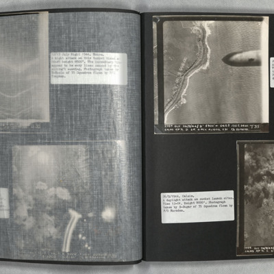
Calais
Photo 1 is a vertical aerial photograph of the coast with bomb craters. A 1000lb bomb cab be seen falling in the right of the image.
Photo 2 is a vertical aerial photograph of the Calais area. The operation is to destroy a rocket launch site. Many…
Photo 2 is a vertical aerial photograph of the Calais area. The operation is to destroy a rocket launch site. Many…
Wesel
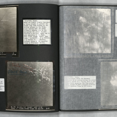
Photo 1 and 2 are vertical aerial photographs of Wesel during the attack. The first image is at the start of the bombing and one explosion can be seen. In the second image, one minute later, there are many explosions.
Vohwinkel
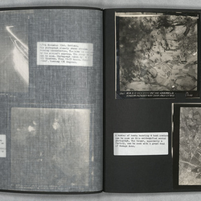
Photo 1 is a vertical aerial photograph of Vohwinkel. The left side of the image is obscured by explosions but there is a great deal of detail visible elsewhere.
Photo 2 is a vertical aerial photograph of an unidentified location. The image is very…
Photo 2 is a vertical aerial photograph of an unidentified location. The image is very…
Le Havre and Terry Ford's crew
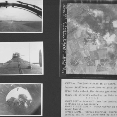
Four photographs from an album.
Photo 1 is a view during take off from the bomb aimer's station.
Photo 2 is air gunner Paddy Glover in his mid-upper turret.
Photo 3 is wireless operator George Tredinnick looking out of the astro-dome.
Photo 4 is…
Photo 1 is a view during take off from the bomb aimer's station.
Photo 2 is air gunner Paddy Glover in his mid-upper turret.
Photo 3 is wireless operator George Tredinnick looking out of the astro-dome.
Photo 4 is…
Le Havre
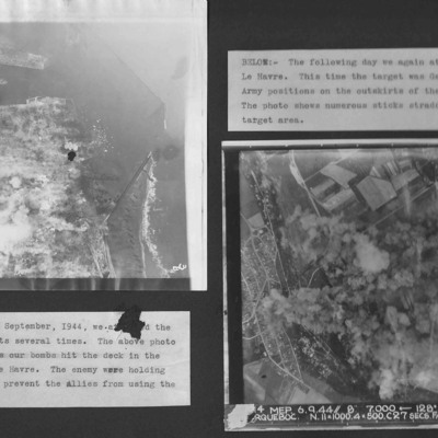
Two vertical aerial photographs from an album.
Photo 1 is bombing of the centre of Le Havre.
Photo 2 is taken on the next day and German Army positions on the outskirts were attacked.
Photo 1 is bombing of the centre of Le Havre.
Photo 2 is taken on the next day and German Army positions on the outskirts were attacked.
Noball Targets
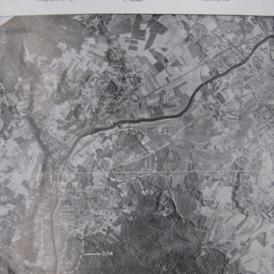
A vertical aerial reconnaissance photograph of Bois de Cassan and Foret de l'Isle Adam with two target areas marked.
Tags: aerial photograph; bombing

