Browse Items (754 total)
- Tags: target photograph
Sort by:
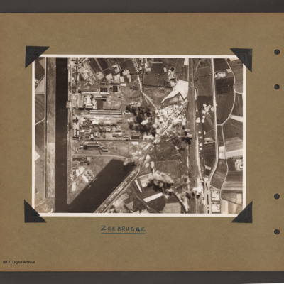
Zeebrugge Dock
Aerial vertical photograph of dock area. On the left a canal running vertically from top to bottom. At the bottom an inlet dock runs towards the centre. On the left side of the inlet six tanks and two small ships moored on jetties. Above the inlet…
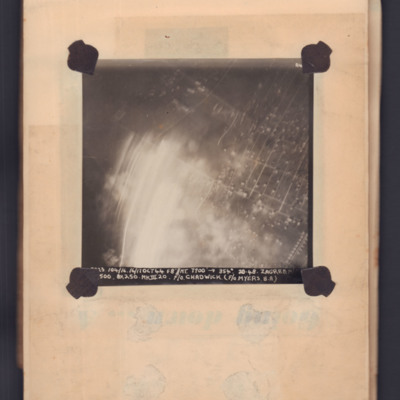
Zagreb
Target photograph showing grid pattern of gardens with light flare bottom left. Captioned 'A4' and '[..23], 104/16, 16/17 Oct 44, F8, NT 7000 ft,→ 354 degrees, 20-48, Zagreb M/[..], [..] 500, 8x250 Mk III 20, F/O Chadwick (F/O Myers B.A.)'.
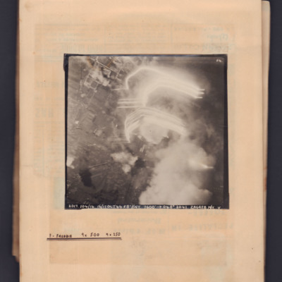
Zagreb
Target photograph showing built up area to right side with tracer flare and bomb explosion on the right. Captioned 'A4' and '2017.104/16, 16/17 Oct 44, F8, NT 7600 ft,→ 048 degrees, 2014, Zagreb M/Y, V'. Annotated on page 'F - Freddie, 9x500,…
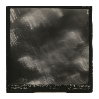
Wurzburg
A vertical aerial photograph taken during an operation at Wurzburg. No detail visible on the ground.
It is captioned '4724 Skell. 16/17.3.45//NT/(C). 8". 10000 004° 2138 Wurzburg. T. 1HC4000IN.18x4. 19 secs F/L Drinkell.T.50'.
On the reverse 'F/Lt…
It is captioned '4724 Skell. 16/17.3.45//NT/(C). 8". 10000 004° 2138 Wurzburg. T. 1HC4000IN.18x4. 19 secs F/L Drinkell.T.50'.
On the reverse 'F/Lt…
Wurzburg
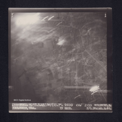
Target photograph of Wurzburg. Urban area, some light streaks, no clear detail visible. Captioned '8°F', '6B', '4705 SKELL.16/17.3.45//NT/(C).7". 9500 014° 2133 WURZBURG.E. 1HC4000IN,18X4. 19secs. F/O.SWALES.E.61.' On the reverse ' F/O. SWALES.…
Worms
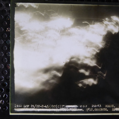
A vertical aerial photograph of an operation on Worms. Most of the image is obscured by light. It is captioned '2950 LCF 21/22-2-45//NT (C) 7" [deleted] 052 2043 Worms Z. [deleted] F/Lt. Goodrum Z. [deleted]'
Worms
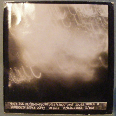
Target completely obscured by markers/cloud. Captioned '5977 PCK 21/22-2-45 //NT(C)8" 18000' 049T 20.42 WORMS R 1HC2000DN 6CP14 2CP15 26 secs F/O McVICAR K/102'.
Wizernes
Sequence of six target photographs taken from the same aircraft at intervals during drop of tallboy. In the first image the bomb is visible in the bottom left quadrant, slightly further to the right in the second and in the third. The town bottom…
Wizernes
Sequence of two target photographs taken at intervals from the same aircraft. Shows open countryside with fields. In the centre of first image is an area with a large number of craters. This area is on the left in the second image. Caption 'sequence…
Wizernes
Sequence of two target photographs taken at intervals from the same aircraft. Showing open countryside with fields. The is an area with large number of craters just left of centre of first image which moves to upper left in the second. Caption…
Wizernes
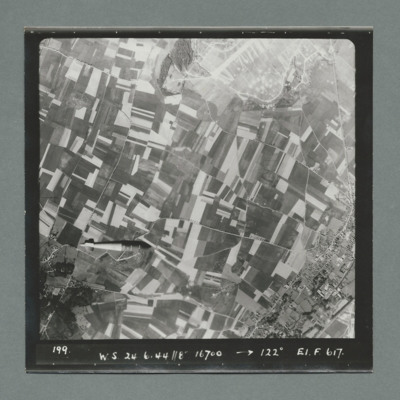
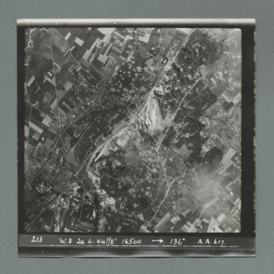
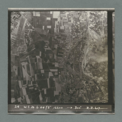
Target photograph showing open countryside with fields and roads. In the centre an area with a large number of craters. Caption '213, W.S, 24.6.44, 8", 16500, 136 degrees, A., A., 617'. On the reverse '51:96/14'.
Wizernes
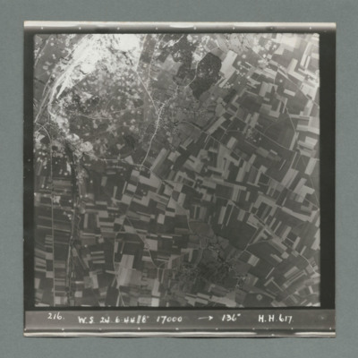
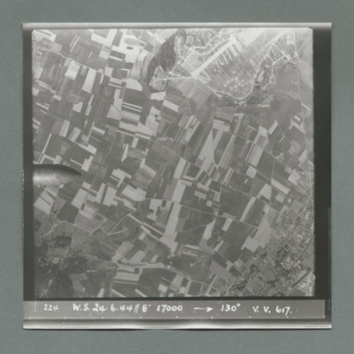
Target photograph showing open countryside with fields and roads. In the top left an are with large number of craters. Caption '216, W.S., 24.6.44, 8", 17000, 136 degrees, H., H., 617'. On the reverse '51:06/15'.
Wizernes
Sequence of two target photographs taken at intervals from the same aircraft. Show open countryside with fields and roads. Large area with many craters top left in first image moving to centre in second. Caption 'sequence number, W.S., 24.6.44, 8",…
Wizernes
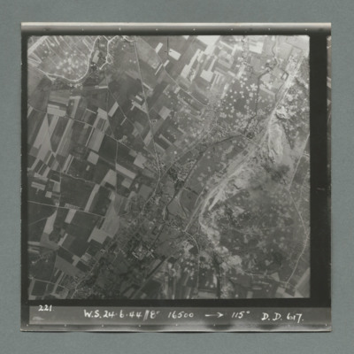
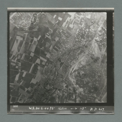
Target photograph showing open countryside with fields and roads. Bottom right quadrant is a large area with many craters. Caption '221, W.S., 24.6.44, 8", 16500, 115 degrees, D., D., 617'. On the reverse '51:96/18'.
Wizernes
Target photograph showing open countryside with fields and roads. Bottom right quadrant is a large area with many craters. Caption '221, W.S., 24.6.44, 8", 16500, 115 degrees, D., D., 617'. On the reverse '51:96/18'.
Wizernes
Sequence of five target photographs taken at intervals from the same aircraft. All show open countryside with fields and roads. The nose of the bomb is visible on left edge centre in first image and further right in the second. A large area with many…
Wizernes
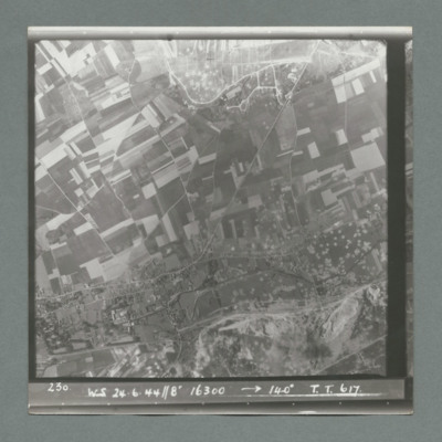
Target photograph showing open countryside with fields and roads. Centre right is a large area with many craters. Caption '230, WS, 24.6.44, 8", 16300, 140 degrees, T., T., 617'. On the reverse '51:96/24'.
Wizernes
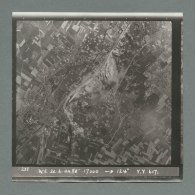
Target photograph showing open countryside with fields and roads. In the centre a large area with many craters. Caption '238, W.S., 24.6.44, 8", 17000, 124 degrees, Y., Y., 617'. On the reverse '51:96/25'.
Wizernes
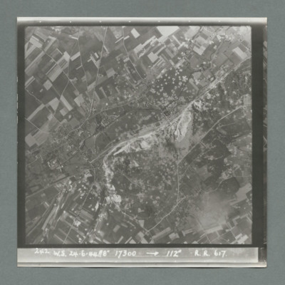
Target photograph showing open countryside with fields and roads. In the centre is a large area with many craters. Caption '242, W.S., 24.6.44, 8", 17300, 1`12 degrees, R., R., 617'. On the reverse '51:96/26'.
Wizernes
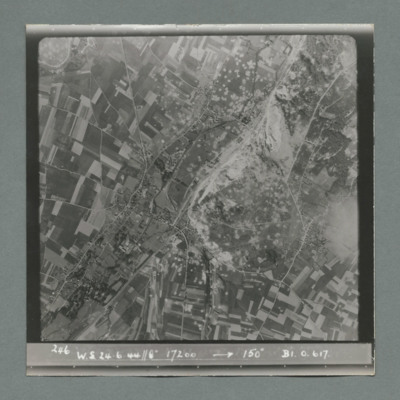
Target photograph showing open countryside with fields and roads. In the centre a large area with many craters. Caption '246, W.S., 24.6.44, 8", 17200, 150 degrees, B1, O, 617'. On the reverse '51:96/28'.
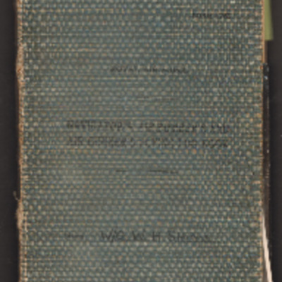
William Shaw’s navigator’s, air bomber’s and air gunner’s flying log book
Navigator’s, air bomber’s and air gunner’s flying log book for W H Shaw, wireless operator, covering the period from 26 November 1943 to 16 February 1947. Detailing his flying training, operations flown and post war flying with 37 Squadron, 168…
Tags: 37 Squadron; aerial photograph; Air Gunnery School; aircrew; Anson; B-24; bombing; C-47; Dominie; Heavy Conversion Unit; Operational Training Unit; Oxford; Proctor; RAF Abu Sueir; RAF Aqir; RAF Evanton; RAF Shallufa; RAF Yatesbury; target photograph; training; Wellington; wireless operator; wireless operator / air gunner; York
Wilhelmshaven
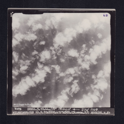
Target photograph of Wilhelmshaven. Completely obscured by cloud, smoke, dust and bomb explosions. Captioned '3°F', '6B', '3079 SKELL.5.10.44.//8" 18000' [arrow] 270° 1109 WILHELMSHAVEN RD.B.10X1000.4'J'X500.C34secs.F/O MOURITZ.B.61'. On the…
Wilhelmshaven
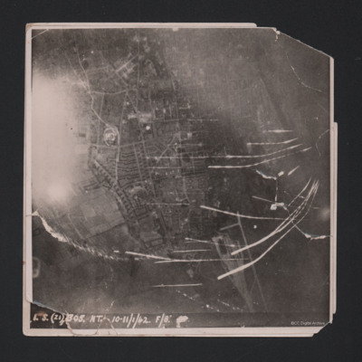
Target photograph showing built up area of Wilhelmshaven. Photograph is orientated with north to the left. Ems-Jade-Kanal is running from top to middle right of photograph. Railway goods yard towards bottom. Streaks of light and anti-aircraft fire…
Wilhelmshaven
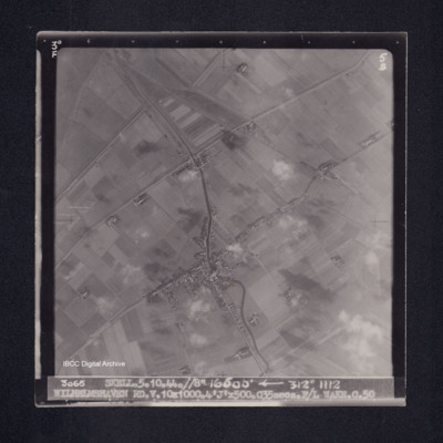
Target photograph of Caroliniensel and Harlesiel on the Harle river. Captioned '3°F', '5B', '3065 SKELL.5.10.44.//8" 16500' [arrow] 312° 1112 WILHELMSHAVEN RD.V.10X1000.4'J'X500.C35secs.F/L WAKE.C.50' On the reverse '[underlined] F/LT WAKE 5.10.44.…
What is it?
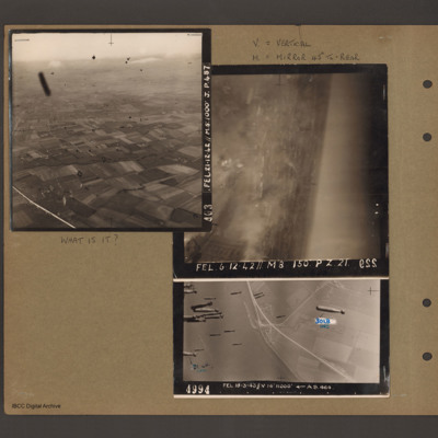
Top left - oblique aerial photograph of open countryside with fields and a few woods, dotted with farms. Many dark 'blots' which could be anti-aircraft fire bursts. Captioned 'A03 FEL 21.12.42//M8:1000 J.p.48'. Top right - oblique aerial photograph -…

