Browse Items (1442 total)
- Tags: aerial photograph
Sort by:
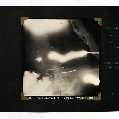
The Coast Road at El Alamein
A vertical aerial photograph taken during an operation at El Alamein. Most of the image is obscured by flashes but the sea is visible. It is captioned 'BA.40.NT.1/2/11/42. 8 -->Battle Area' and annotated 'The Mediterranean The coast road at El…
Tags: 40 Squadron; aerial photograph; bombing
The discovery, recovery and identification of the Durston crew and their plane Lancaster ED867
Account from 2003 in German and English of research started in 1997. Shows aerial photo of crash site. Excavations in 1999 discovered parts of aircraft and remains of crew which were then buried in Berlin war cemetery in year 2000. Reports…
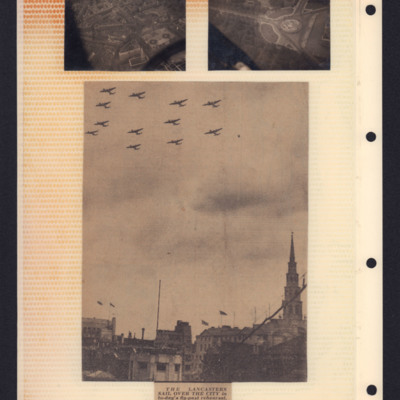
The Lancasters sail over the city
Top left - air-to-ground photograph showing Trafalgar Square with Whitehall running towards the top.
Top right - air-to-ground view showing Victoria Memorial and Buckingham Palace on the right.
Bottom - newspaper cutting with photograph showing…
Top right - air-to-ground view showing Victoria Memorial and Buckingham Palace on the right.
Bottom - newspaper cutting with photograph showing…
Tags: aerial photograph; Lancaster
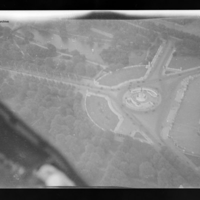
The Mall and Buckingham Palace
Air to ground view of the Mall running left to right with Buckingham Palace right middle.
Tags: aerial photograph
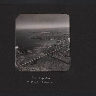
The Objective Midland Ontario
High angle aerial oblique photograph of Midland Ontario. It is on the lakeside and on the left can be seen grain elevators. In the middle and right an industrial area with a large building and docks. Behind this is an urban area.
Tags: aerial photograph; training
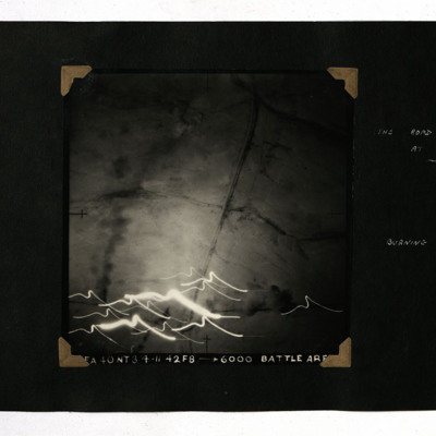
The Road and Railway at Fuka
A vertical aerial photograph showing a road and railway. At the bottom are multiple tracer lights. It is captioned 'FA 40 NT 3/4.11.42 F8 -->6000 Battle Area' and annotated 'The road and railway at Fuka Burning transport'.
Tags: 40 Squadron; aerial photograph; bombing
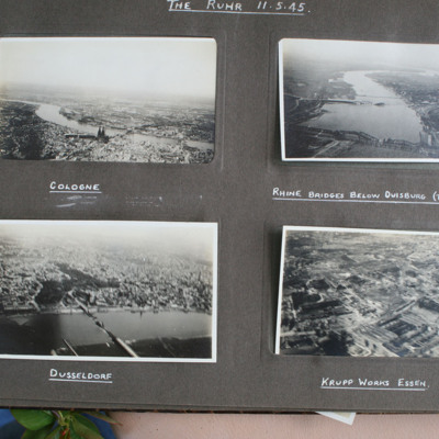
The Ruhr
Top left - view from air over a city with twin spired cathedral. Captioned 'Cologne'.
Top right - view from air down wide river with damaged bridge in foreground and town on right bank. Captioned 'Rhine Bridge below Duisburg (Top Right)'.
Bottom…
Top right - view from air down wide river with damaged bridge in foreground and town on right bank. Captioned 'Rhine Bridge below Duisburg (Top Right)'.
Bottom…
Tags: aerial photograph; bombing; Cook’s tour
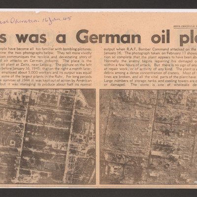
This was a German oil plant
Shows the effects of an operation that destroyed the synthetic oil plant at Zeitz. Captioned 'My last operation 16 Jan. 45'.
Thiverny
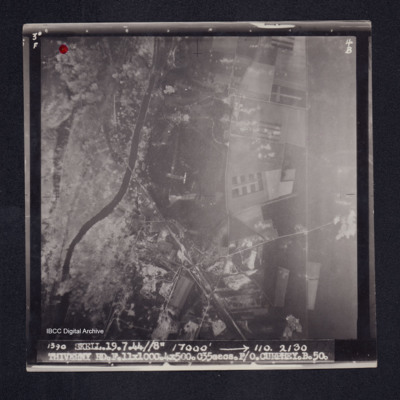
Target photograph of Thiverny. Red dot top left corner, Lancaster visible in centre. Rural area both banks of river Oise, roads and field patterns visible with craters, smoke and dust on left third of photograph. Captioned '3°F', '4B', '1390…
Three B-25 Mitchells in Flight
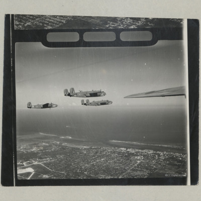
An air to air photograph of the starboard sides of three B-25 Mitchells Mk II from 111 OTU (Coastal Command) in flight over Nassau.
Tags: aerial photograph; B-25
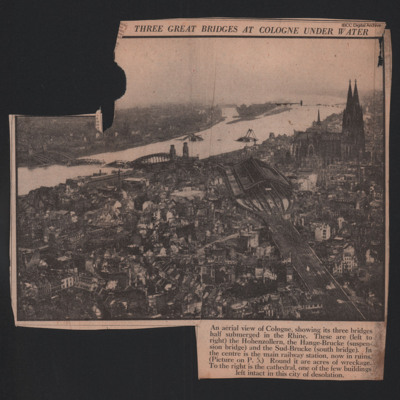
Three Great Bridges at Cologne under Water
A low level oblique image of the damaged bridges at Cologne. The railway station and all the surrounding buildings except the Cathedral are destroyed.
Tags: aerial photograph; bombing
Three Shackletons over Odiham
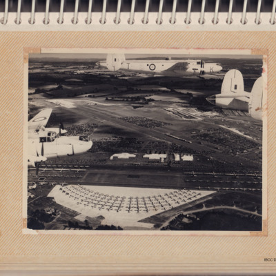
Air-to-air view of three white Shackletons flying over an airshow for the Queen's Coronation. On the ground are large numbers of aircraft, people and parked cars.
Tags: aerial photograph; RAF Odiham; Shackleton
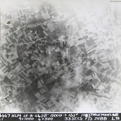
Tirlemont airfield
Target photograph taken during daylight attack on Tirlemont (Goetsenhoven) airfield. Patchwork of fields with aircraft dispersal hardstands to left and right of explosions and smoke centred on airfield itself. Village of Bost is to the bottom left…
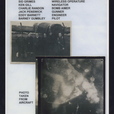
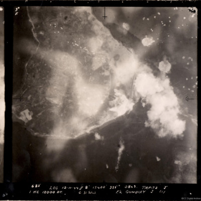
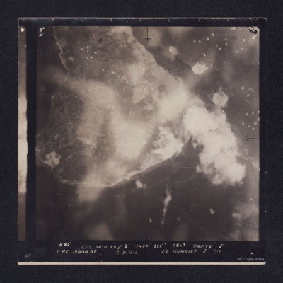
Tirpitz
Top - six aircrew standing in line behind a Lancaster, Captioned 'Crew from left to right, Sid Grimes wireless operator, Ken Gill navigator, Charlie Randon bomb aimer, Jack Penswick gunner, Eddy Barnett engineer, Barney Gumbley pilot'.
Bottom target…
Bottom target…
Tirpitz
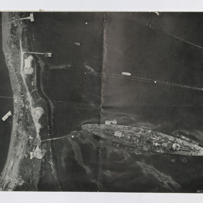
A vertical aerial photograph of the bombing of the Tirpitz. Much of the image is obscured by smoke and explosions. Tirpitz can be seen right of centre. Anti-aircraft fire can be seen to the top of the photograph. Three bomb explosions in the water…
Tirpitz
Target photograph showing shoreline, with smoke obscuring the island of Hakøya within Tromsø fjord. Battleship Tirpitz can be seen just right of centre through smoke. Three water-spouts from earlier explosions above and to the right. Anti-aircraft…
Tirpitz and armoured vehicles
Two reconnaissance photographs. The first is low level of the Tirpitz moored stern on to the land. Jetty connects stern to land. Several other jetties are present and various smaller boats are moored or moving. Booms are seen above Tirpitz. Several…
Toronto shore
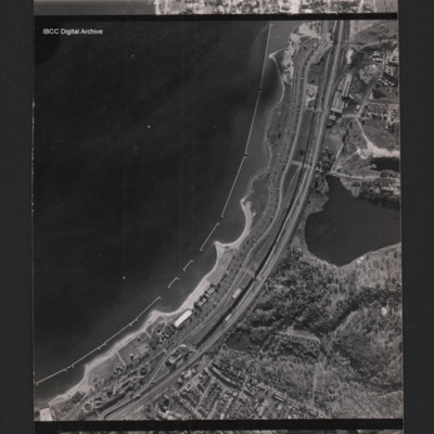
A vertical aerial photograph of a town at the edge of a bay. Parallel with the bay there is the Gardiner expressway and railway. In the bay are u-shaped structures. At the bottom there are between the road and the coast are holiday structures and the…
Tags: aerial photograph
Tours
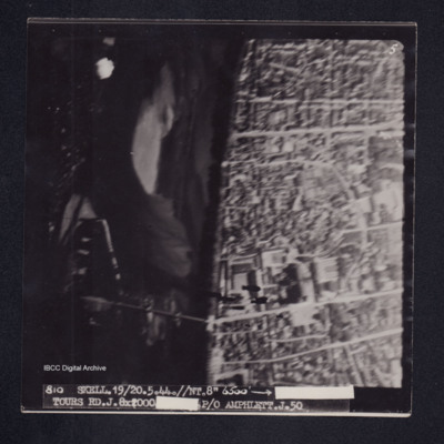
Target photograph of Tours. River Loire running top to bottom, road bridge across river and Saint-Gatien de cathedral visible. Captioned '5'', '810 SKELL.19/20.5.44.//NT.//8" 6500' [arrow] [censored] TOURS RD.J.8X2000 [censored]P/O AMPHLETT.J.50'. On…
Tours
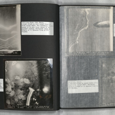
Photo 1 is a vertical aerial photograph of Tours. The city is visible but there are incendiary tracks blotting out much of the detail.
Photo 2 is a vertical aerial photograph taken during the bombing of Tours. Explosions can be seen and a…
Photo 2 is a vertical aerial photograph taken during the bombing of Tours. Explosions can be seen and a…
Tours airfield
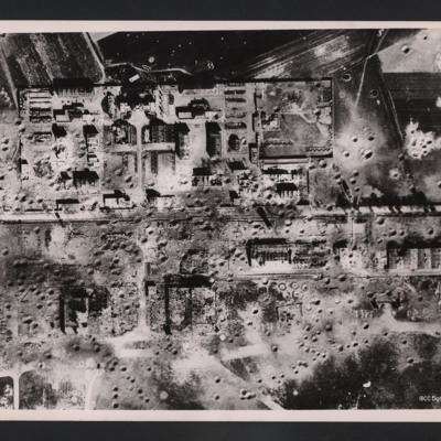
Vertical aerial photograph of an area showing severely destroyed buildings and large craters appearing throughout. A road is going through the middle of the buildings and the area is surrounded by fields, also covered with craters.
On the reverse…
On the reverse…
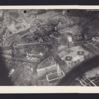
Trafalgar Square
Air to ground view of central London including Trafalgar Square on the bottom right with Whitehall running up to top left.
Tags: aerial photograph

