Browse Items (1442 total)
- Tags: aerial photograph
Sort by:
Los Angeles
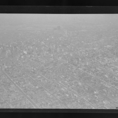
City with many buildings and grid road structure. Taller buildings towards the top and LA river running right to left across the top. The dog legged road is W 8th St in the Westlake South area of the city.
Tags: aerial photograph
Los Angeles
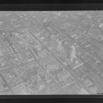
Air to ground view of a Los Angeles with City Hall and Spring Street courthouse.
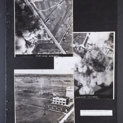
Low level bombing over Orleans
Photograph 1 is a vertical aerial photograph of a transformer and switching station at Orleans. Most of it is obscured by bomb explosions and smoke. A wide road runs diagonally across the image. Captioned 'R1.342F 3 OCT 43//…
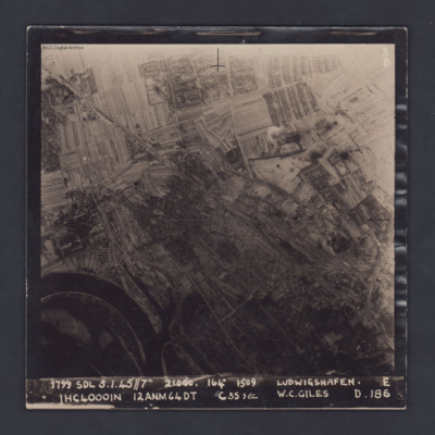
Ludwigshafen
A vertical target photograph of Ludwigshafen, orientated with the south west at the top. In the lower left corner is a bend in the River Rhine and the entrance to Kaiserworthhafen docks. Just visible at the bottom edge is the end of Luitpoldhafen…
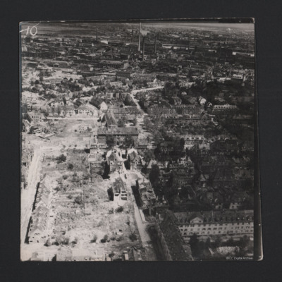
Ludwigshafen
An oblique aerial photograph of Ludwigshafen. The foreground appears residential but in the middle distance are large factories. Damage has been inflicted on the buildings.
Identification kindly provided by Andrew Gordon and Stéphane Van de Putte…
Identification kindly provided by Andrew Gordon and Stéphane Van de Putte…
Tags: aerial photograph; bombing; Cook’s tour
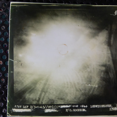
Ludwigshaven
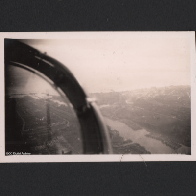
A vertical aerial photograph of an attack on Ludwigshaven. The central part of the image is obscured by light, however the Rhine and tributaries are clearly visible. The caption reads '2762 LCF 2/3-1-45//NT (C) 7" [deleted] 018 1844 Ludwigshaven Z.…
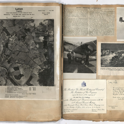
Luton
Left page: view of Luton with German annotation. Right page: top left, report of rocket development. Top right, Barracuda in flight with tail wheel showing. Middle left, three airmen standing alongside a Barracuda. Middle right, lifeboat alongside…
Lutzkendorf
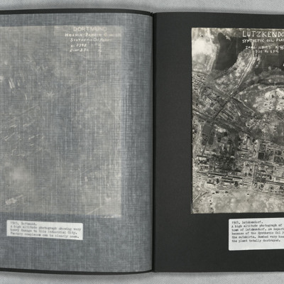
A vertical aerial photograph of the synthetic oil plant at Lutzkendorf, near Leipzig. The Geiseltalsee is the body of water at the top of the image. A railway line with sidings runs through the image from left to right. Possibly more sidings to top…
Mönchengladbach
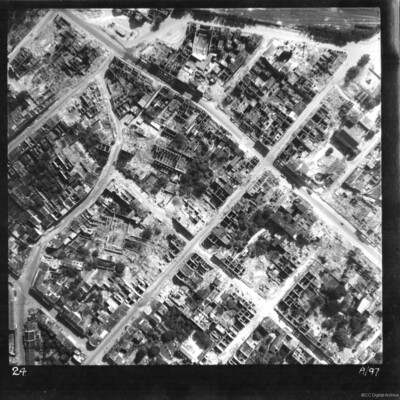
A reconnaissance photograph of Mönchengladbach, showing this part of the town completely destroyed by bombing. All buildings are without roofs, several destroyed to ground level. Roads are cleared. At the top of the photograph is the Hauptbahnhof…
Tags: aerial photograph; bombing
Münster railway station
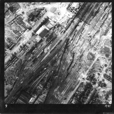
Reconnaissance photograph of Münster railway station and marshalling yard. Entire area extensively damaged, with tracks destroyed and at odd angles, goods and passenger carriages blown over. Majority of buildings seen are without roofs. The main…
Tags: aerial photograph; bombing
Maassluis
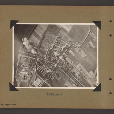
Aerial vertical photograph of a town with dock basin. The river Maas runs down the left side. A canal runs from the river on left to the centre where it turns left into a doack basin surrounded by a town. A narrow canal leads from the top right…
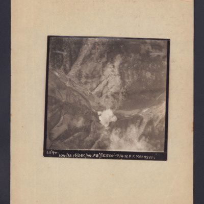
Macasvo
Target photograph showing open countryside with a bomb explosion centre bottom in a valley. Captioned '2294, 104/35, 16/Dec/44, F8, 5500 ft,→14.12, A.F. Macasvo'.
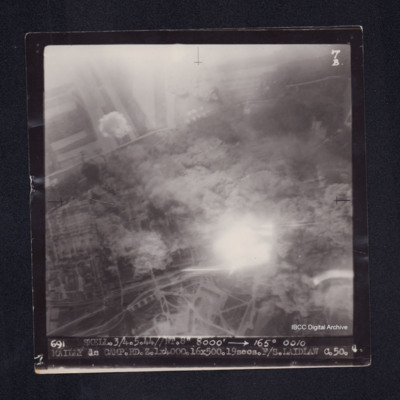
Mailly le Camp
Target photograph of Mailly-le-Camp. Rural area, centre obscured by smoke, dust and light streaks, field patterns and roads visible. Captioned '7B', '691 SKELL.3/4.5.44//NT.8" 8000' [arrow] 165° 0010 MAILLEY le…
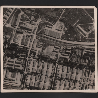
Mailly-le-Camp
Aerial photograph of large military camp, showing it before and after bombing. A railway line runs in from the right centre of the photograph and terminates in upper centre, having split into three lines. There is a train in situ on the main line.…
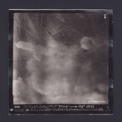
Mailly-le-Camp
Target photograph of Mailly le Camp. Partially obscured by smoke and dust, no clear detail visible. Captioned '7B', '694 SKELL.3/4.5.44//NT.8" 7000' [arrow] 179° 0033 MAILLY le CAMP.RD.N.1X4000.16X500.17secs.P/O CREED.O.50.'. On the reverse…
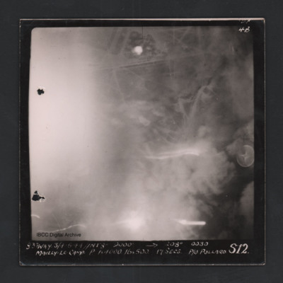
Mailly-le-Camp
Vertical aerial photograph of Mailly-le-Camp. Street patterns are visible but most of the image is obscured. Captioned ‘4B 4B’ and ‘831 WKY 3/4.5.44 // NT 8” 9000’ [arrow] 208° 0030 Mailly-le-Camp P 1 x 4000 16 x 500 17secs P/O…
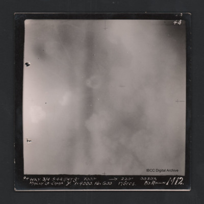
Mailly-le-Camp
Vertical aerial photograph of Mailly-le-Camp. Most of the image is obscured by clouds and smoke. Captioned ‘4B 4B’ and '841 WKY 3/4.5.44 // NT 8” 7000’ [arrow] 220° 0030 1/2 Mailly-le-Camp Y 1 x 4000 16 x 500 17secs P/O Rollin …
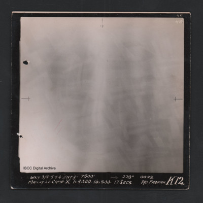
Mailly-le-Camp
Vertical aerial photograph of Mailly-le-Camp. All of the image is obscured by bombs and smoke. Captioned ‘4B 4B’ and 'WKY 3/4.5.44 // NT 8” 7500’ [arrow] 228° 0028 Mailly-le-Camp X 1 x 4000 16 x 500 17secs P/O Farfan K12’.
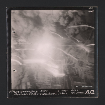
Mailly-le-Camp
Vertical aerial photograph of Mailly-le-Camp. Most of the image is obscured by bombs and smoke. Some roads and the camp can be seen. Captioned ‘4B 4B’ and '835 WKY 3/4.5.44 // NT 8” 8000’ [arrow] 208° 0028 Mailly-le-Camp X 1 x 4000…
Mailly-le-Camp
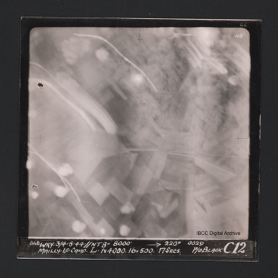
Vertical aerial photograph of Mailly-le-Camp. Most of the image is obscured by anti-aircraft fire. Some roads and fields can be seen. Captioned at top right ‘4B 4B’. Captioned along the bottom ‘‘848 WKY 3/4.5.44 // NT 8” 8000’ [arrow]…
Mailly-le-Camp and aircrew
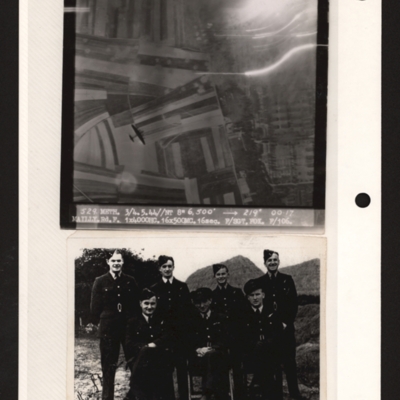
Top - target photograph showing fields on the left and a built up area with rows of buildings on the right. There is a four engine bomber below bottom left. Captioned '529 METH. 3/4.5.44//NT 8" 6,500' 219 degrees 00.17, MAILY.Rd.F 1x4000HC 16x500MC.…
Mainz
A vertical aerial photograph of Mainz. The
top right of the image shows the Rhine. The
bridge is Theodor-Heuss Brucke. The large
L shaped building to its left is Kurfurstliches
Schloss with various large government
buildings below it. The wide…
top right of the image shows the Rhine. The
bridge is Theodor-Heuss Brucke. The large
L shaped building to its left is Kurfurstliches
Schloss with various large government
buildings below it. The wide…
Malta and La Linea, 1959
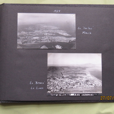
Two oblique aerial photographs .
Photo 1 is of Valetta, captioned 'Ex "Fair Isle" Malta'.
Photo 2 is La Linea, captioned ' Ex "Spanex" La Linea'. Annotated on the image is 'P204 RAF A5 10 Oct 59 Z 678 S/L Jarmy Rest D'.
This item was sent to the…
Photo 1 is of Valetta, captioned 'Ex "Fair Isle" Malta'.
Photo 2 is La Linea, captioned ' Ex "Spanex" La Linea'. Annotated on the image is 'P204 RAF A5 10 Oct 59 Z 678 S/L Jarmy Rest D'.
This item was sent to the…
Tags: aerial photograph
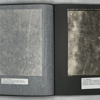
Mannheim
A vertical aerial photograph of Mannheim. The left of the image is shrouded by clouds. The main river running left to right is the Neckar. The spur below it being the Bonadieshafen and the one above it the Verbindungskanal. The road bridge crossing…

